La Bastida de Totana: An El Argar Bronze Age Settlement
Site at a Glance
- Popularity
- High
- Country
- Spain
- Primary era
- Bronze Age
- Eras represented
- Bronze Age
- Civilizations
- Unclassified
- Site type
- City
On this page19 sections
History
La Bastida de Totana is a Bronze Age settlement of the El Argar culture near Totana in Murcia, Spain. It was occupied from about 2200 to 1550 BC and became one of the major centers in the El Argar network.
El Argar settlement and its territory
The settlement’s size and buildings point to a central role in a political and economic territory. Its population has been estimated at about 1,000. One interpretation is that La Bastida was the capital of a state-like polity with dominant, common, and servile or enslaved groups. Burials and their grave goods also indicate distinctions in social standing, including a substantial intermediate group with social rights.
La Bastida lay some distance from the fertile Guadalentín valley, yet its concentration of inhabitants has been interpreted in relation to political and social structures across a wider economic territory. The smaller settlement of La Tira del Lienzo overlooks the valley and may have formed part of a hierarchy through which La Bastida exerted economic and political control over production.
During the settlement’s occupation, woodland was cleared for fuel, while land was opened for cultivation and grazing. This transformation had lasting environmental effects, later compounded by historic land use. After abandonment around 1600–1550 BC, the site saw sporadic visits in Roman and medieval times.
Excavation and research
The first recorded excavations took place in 1869 under civil engineer Rogelio de Inchaurrandieta. With 18 laborers, he excavated 18 urn burials and two stone burial containers in three days. He presented the finds at the International Congress of Archaeology in Copenhagen that year and published interpretations of the settlement’s economy and burial customs in 1870 and 1875. The objects, intended for the National Archaeological Museum, were lost after being deposited at an engineering school in Madrid.
After reading a synthesis of Inchaurrandieta’s work, Luis Siret and Pedro Flores excavated at La Bastida in 1886. They stopped after the thirteenth grave, perhaps because the results had not met their expectations. Unauthorized digging, driven partly by demand for antiquities, continued from at least the mid-nineteenth century into recent times. Some objects were forged and sold as genuine. Archaeologist Juan Cuadrado carried out several investigations in 1927–28 and 1936–39; his collected material went to the Archaeological Museum of Almería, where he served as director from 1933 until his death in 1952.
After the Spanish Civil War, the Seminar of Primitive Human History in Madrid organized further excavations under Julio Martínez Santa-Olalla. The 1944 and 1945 campaigns, involving Eduardo del Val Caturla, Carlos Posac Mon, José Antonio Sopranis Salto, and Santa-Olalla, recorded 18 building departments and 102 burials. Work directed by Vicente Ruiz Argilés and Posac in 1948 brought the total to 21 departments and added 15 graves. In 1950, Francisco Jordá Cerdá and John D. Evans extended excavation to the northwest, finding few wall remains but about a dozen more graves.
Research resumed with a 1986 study of previously unpublished pottery, much of it from the 1944–45 work. The University of Murcia surveyed the site in 1990, and the study appeared in 1992. Municipal projects in 2003 and 2005 supported cleaning and graphic recording. A research, interpretation, and outreach project began in late 2008, led by Vicente Lull, Rafael Micó, Cristina Rihuete, and Roberto Risch of the Autonomous University of Barcelona. Excavations from 2009 identified three main occupation phases. Subsequent work included excavation, conservation, and interpretation; a research center at the foot of the site serves for storage and for the analysis and conservation of archaeological materials. La Bastida received Spain’s Asset of Cultural Interest designation in 2005.
Remains
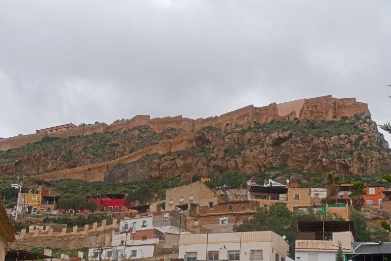
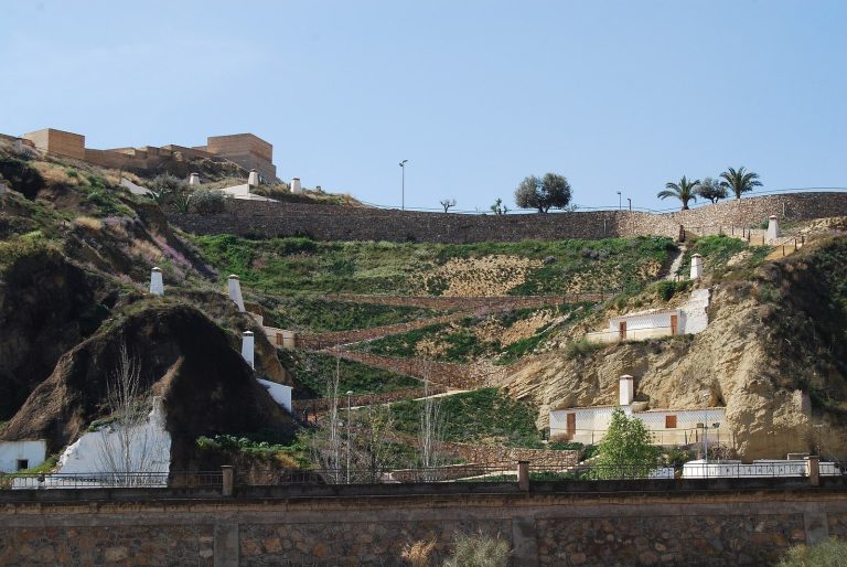
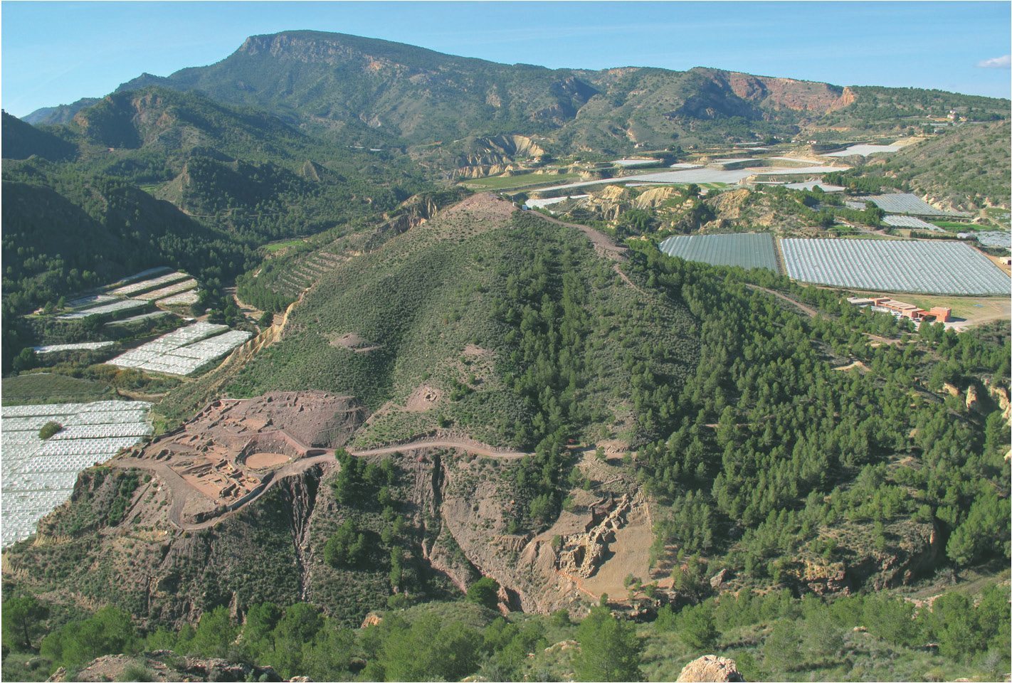
The settlement occupies a steep, roughly conical hill in the foothills of the La Tercia and Espuña ranges, where the Rambla de Lébor meets Barranco Salado. Near the edge of the Guadalentín valley, the hill is set back from and partly concealed by its river plain. At its height, La Bastida covered about 45,000 square metres, or at least 4.5 hectares. Excavations have explored about 6,000 square metres across the eroded summit, eastern middle slope, southeastern foothill, and an area beside Barranco Salado. The hill’s geological base consists mainly of conglomerate, marl, limestone, gypsum, and sandstone, with smaller amounts of slate and quartzite.
Settlement layout and buildings
Earliest buildings
In the first occupation phase, about 2200–2000 BC, small huts with curved outlines were built from mud and wooden posts. Later construction and erosion have left them fragmentary, and a layer associated with burning sealed their remains. Some larger buildings with straight stone walls may have served communal purposes. Pottery from this phase includes abundant yellowish fabrics, forms recalling Copper Age traditions, and incised rows of triangles filled with dots. Similar decoration occurs at contemporary Lugarico Viejo.
Terraced houses
During the second phase, about 2000–1850 BC, stone buildings replaced the earlier huts. Their elongated plans and straight walls stood on artificial terraces cut into the hillside. The earliest known graves at La Bastida and pottery with characteristic El Argar forms belong to this phase.
The final phase, about 1850–1600/1550 BC, brought a dense arrangement of large houses across the hill. Many stood on terraces, sometimes divided by passages less than a metre wide. Rectangular, trapezoidal, and rounded-ended plans ranged from 10 to more than 70 square metres. The buildings supported production, storage, and consumption, and their general arrangement continued until abandonment, with some smaller repairs.
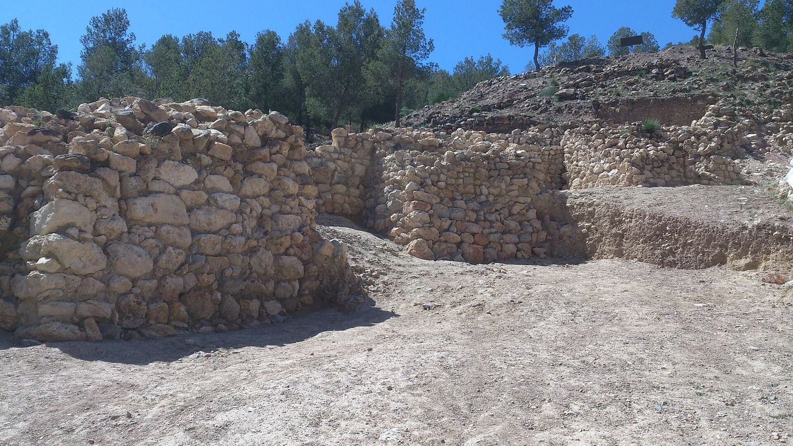
Buildings rested on bedrock or on downslope sediments that had accumulated over collapsed structures. Their stone walls were coated with mortar containing varying amounts of lime. In some places, walls survive to 1.5 metres high and ten courses, with an average width of 0.60–0.80 metres. Wooden posts sometimes reinforced walls, while freestanding posts often stood near wall junctions. Prepared floors, ovens or hearths, and benches of varied shapes and sizes were common; some benches were coated with yellow clay.
Monumental building
Erosion has affected the summit, where a monumental building is represented by a surviving wall segment 1.90 metres wide.
Fortifications
Outer defensive line
North of the foothill housing, the first defensive line consists of wall sections up to 3 metres thick, with five solid towers shaped like truncated pyramids attached to the outer face. The towers average about 4 metres wide and project 3–3.50 metres from the wall. The first four stand 2.80–4.70 metres apart. Stone debris outside the wall suggests that it originally stood about 5 metres high. A documented stretch of 45 metres begins near Barranco Salado and climbs uphill almost at right angles to the ravine. If continued around the hilltop, its projected course could have exceeded 300 metres across slopes of about 40 percent.
Inner line and entrance
A second wall runs almost parallel to the first and incorporates two bastions, or projecting defensive structures, with roughly quarter-circle outlines and walls just under 3 metres thick. The two lines form a narrow entrance that was altered several times. Wooden posts set within it supported a gate, strengthened the sides, and may have carried wooden upper levels. The entrance opens onto an outdoor passage where sediment, refuse, and building material accumulated over time.
A tower associated with the second line is 4 metres wide and survives to a height of 2.5 metres. An opening in its eastern face has a pointed arch and measures 1.5 metres high and 0.85 metres wide at the base. It resembles a postern, a smaller secondary entrance in a fortification, although its function remains uncertain because excavation of the sediment inside it is incomplete. Radiocarbon dating, which estimates age from decaying carbon, indicates that the fortification stood by about 2200–2100 BC. Its design has been interpreted as possibly reflecting eastern Mediterranean influence on the settlement’s foundation.
Water and production
Water basin
A large basin occupied a relatively gentle, low-lying area of the southeastern slope. During one stage of its use, a straight wall closing the basin measured 21 metres long, about 3 metres wide, and 1.70 metres high as preserved. Its capacity exceeded 300,000 litres. It was probably a reservoir supplying water for household and craft activities.
Craft and household evidence
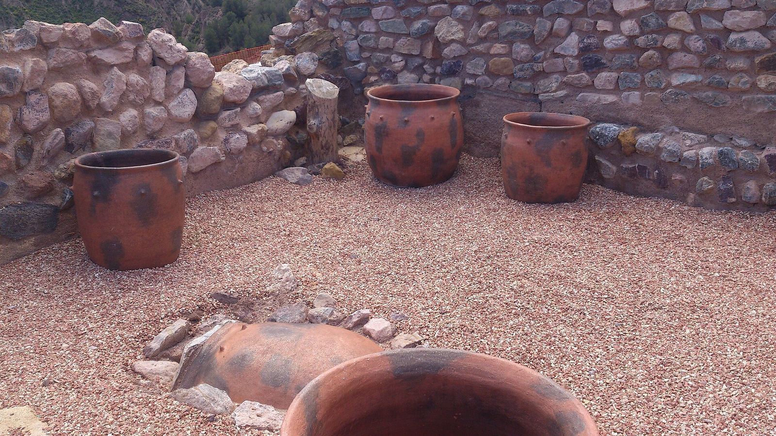
Finds include loom weights, storage vessels, cups, and bowls, along with tools made from clay, ceramic, metal, and animal bone. Crucibles and moulds, considered alongside the arrangement of objects, point to areas where metal was worked. Other finds include axes, daggers, swords, and bronze cups.
Burials and grave goods
Burial forms
Across investigations, 237 graves have been documented. Most lay beneath floors in inhabited areas and used urns; others were small stone-built burial containers, artificial caves, or simple or stone-lined pits. Most graves held one person, though some contained two. Bodies were generally placed on one side in a fetal position; some lay on their backs with their legs turned to one side. Grave goods often included pottery, metal, bone, or stone weapons, tools, and ornaments, and sometimes a portion of goat or sheep meat. The goods varied according to the deceased’s sex.
Type 4 urns in Luis Siret’s classification are the most common at La Bastida; Types 2 and 5 are less frequent and were often used for children. Where a container held two people, the pairings generally consisted of two adults of different sexes, an adult and a child, or two children.
Grave 18
Grave 18 contained two men, an unusual pairing at the site. Its objects included an angular-shouldered vessel outside the urn, a bowl with barley grains, an axe, a copper dagger with three rivets, a silver earring, and two portions of kid goat.
Materials and objects
Imported raw materials
Materials from distant sources included volcanic and metamorphic stone, meaning rock transformed by heat and pressure, used for grinding stones, hammers, anvils, and sharpeners. Copper and silver were made into weapons, tools, and ornaments, while ivory was used for buttons. Objects recovered from La Bastida are now held in several European museums.