District of Magon (Carthage): A Coastal Urban Quarter of Ancient Carthage
Site at a Glance
- Rating
- 3.4
- Popularity
- Very Low
- Country
- Tunisia
- Primary era
- Classical
- Eras represented
- Classical
- Civilizations
- Carthaginian, Roman
- Site type
- Domestic
On this page12 sections
History
The District of Magon (Carthage) is a coastal sector of the archaeological site of Carthage in Tunisia, preserving urban remains from the fifth century BC through the Byzantine period. It occupied the only part of the shoreline that remained outside Carthage’s urban development and preserves evidence for the city’s changing relationship with its coastal defenses, residential quarters, and maritime edge.
The Punic coastal quarter
By the fifth century BC, an organized urban plan had been established beside the shore. Modest houses stood roughly 30 metres from a coastal defensive wall, while a street running toward the sea led to a gate through the defenses. A shingle beach lay below the wall, and the defensive line appears to have continued toward the military harbour. The sea gate probably remained in use between the fifth and third centuries BC.
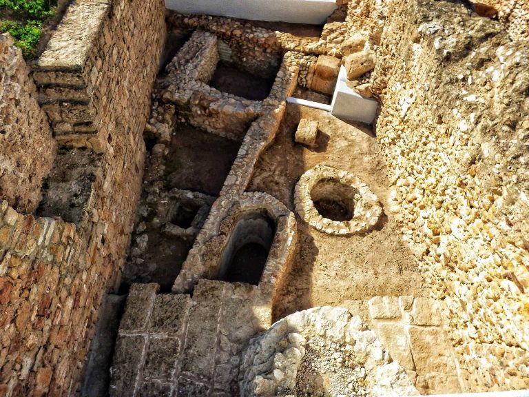
The settlement changed during the second century BC, when the sea gate was closed. A residential quarter then developed closer to the defensive system and expanded toward it. The houses were supplied with wells and cisterns, structures used to collect and store water. This reorganization created a denser urban area while retaining elements of the earlier coastal defenses.
Reoccupation and later history
Following Carthage’s destruction in the Third Punic War, the conflict in which Rome destroyed the city, the area was reoccupied about a century later. During the Roman period, earlier Punic wells and cisterns continued to be used, while the ruins also provided building material. The quarter otherwise remained broadly stable until the end of the Roman period.
A fourth-century earthquake led to rebuilding, and further restoration followed the Byzantine reconquest. Excavations by German archaeologists directed by Friedrich Rakob took place during the international campaign sponsored by UNESCO to safeguard Carthage. The discoveries prompted Tunisian authorities to develop the site, consolidate the excavated remains, and present them alongside an exhibition area with models and archaeological fragments. The District of Magon forms part of the Archaeological Site of Carthage, which was inscribed as a UNESCO World Heritage site in 1979. Tunisia also classified and protected it as a historic monument on 22 January 2024.
Remains
Seafront defenses and access
Coastal wall
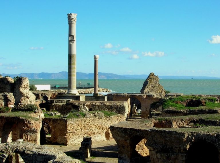
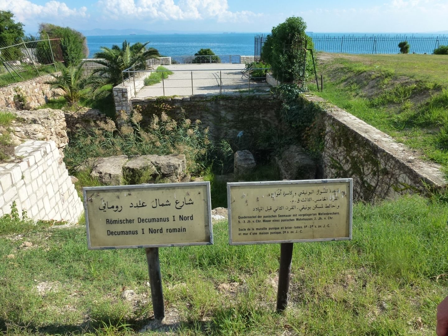
The district covers approximately 27,500 square metres along the seafront. Its earliest visible urban evidence includes a fragment of a coastal wall dated to the late sixth or early fifth century BC. The wall was approximately 10 cubits, or about 5.20 metres, high and incorporated towers and gates. One foundation block weighs about 13 tonnes, illustrating the scale of its construction. A breakwater, a structure designed to reduce wave action and protect a shore or harbour, was also found in the coastal area.
Sea gate and road
A road about nine metres wide led toward the sea gate. The gate pierced the coastal wall during the period represented by the fifth- to third-century BC phase, when an open area separated the houses from the defenses. The shingle beach below the wall formed part of this coastal arrangement. Later, the gate was closed and the residential area extended nearer to the defenses.
Residential architecture
Orthogonal urban plan
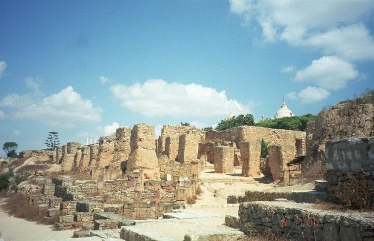
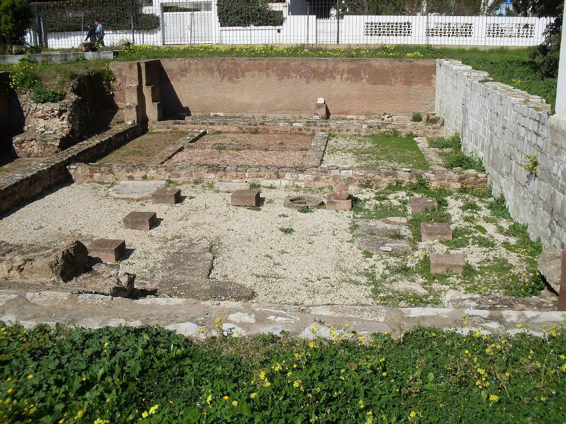
The residential quarter followed an orthogonal plan, with streets and buildings arranged along intersecting straight lines. The streets were about three metres wide. Houses contained wells and cisterns and were finished with stucco, paved surfaces, and brightly coloured mosaics. These features show the planned character of the neighborhood as well as the domestic infrastructure that supported its occupants.
Peristyle villa
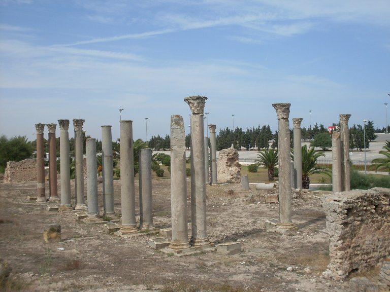
A wealthy villa dating from the fifth to fourth centuries BC was arranged around a courtyard bordered by columns on three sides. This type of courtyard, called a peristyle, was partly or wholly surrounded by a colonnade. Its scale and architectural treatment distinguish it from the more modest houses of the earlier quarter.
Courtyard house
Another house, dating from the third century BC, covered more than 1,500 square metres. It was organized around a courtyard with a portico, a covered colonnaded walkway. Its size and arrangement belong to the later phase in which the residential area had expanded toward the former defensive line.
Roman installations and archaeological presentation
Visible Roman remains include sections of a sewer and other installations dating from the first and second centuries AD. Earlier Punic water facilities were also reused during this period, linking the Roman occupation physically with the infrastructure of the preceding settlement.
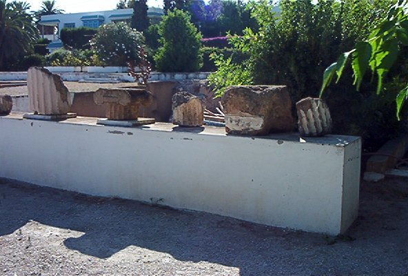
The adjoining antiquarium, a small exhibition space for archaeological remains, contains architectural fragments recovered from the district. These include stuccoed sandstone columns and capitals from El Haouaria, along with ceramic fragments and pieces of decorative and architectural stucco. Models present the district in successive phases. One reconstructs the fifth- to third-century BC arrangement, with the sea gate open and space between the houses and defenses. Another shows the second-century BC reorganization after the gate’s closure, when houses stood nearer the defenses. A further model depicts a Punic sandstone-extraction well and the removal of blocks from the quarries.
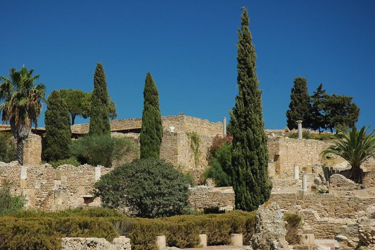
After excavation, the remains were consolidated and conserved. The surviving structures and adjoining exhibition spaces now form a small archaeological park that presents the district’s Punic, Roman, and Byzantine phases together.