Trencrom Hill: A Neolithic Tor Enclosure and Iron Age Hillfort in Cornwall
Site at a Glance
- Rating
- 4.8
- Popularity
- Low
- Country
- United Kingdom
- Primary era
- Stone Age
- External website
- Open
- Eras represented
- Stone Age, Iron Age, Modern
- Civilizations
- Celtic
- Site type
- Military
- Remains
- Fort
On this page10 sections
History
Prehistoric origins
Trencrom Hill is a prehistoric hillfort in the United Kingdom near Lelant, Cornwall. Neolithic communities built an enclosure around the granite summit, and the site was later reused as an Iron Age hillfort. The Neolithic period was the later Stone Age, while the Iron Age was the later prehistoric period when iron tools and weapons became widespread in Britain. The hill’s names include Trecrobben and Torcrobm, recorded in 1758, and derive from Cornish terms meaning “curved hill” or “hunched bulge.”
Mining on the hill
The summit later became part of the Wheal Cherry mining sett, a leased or worked area of a mine that was also known as New Trencrom Mine and Mount Lane Mine. Mining activity was brief in the late 1850s. In 1857 and 1858, £2,293 was spent on a 24-inch pumping engine and a 24-inch whim with stamps. A whim was a winding machine used to raise material or water from a shaft. By September 1858, the sett and its materials were being offered for sale.
The Gerry Brothers of Lelant made another attempt to work the mine at the beginning of the twentieth century and sold their interest in 1907 after five years. Work continued at Wheal Cherry in 1916, while an attempt to operate the workings as Mount Lane Mine in 1943 failed. The mining area extended through granite at Trencrom and into metamorphosed killas to the east. Killas is a type of altered sedimentary rock common in Cornwall.
Conservation and tradition
On 8 August 1946, the National Trust acquired Trencrom Hill as freehold from Lieutenant Colonel G. L. Tyringham. The National Trust is a British conservation organization responsible for historic places, landscapes, and natural areas. The property covered 25.568 hectares, or 63.18 acres, and was presented as a memorial to the men and women of Cornwall who died in the First and Second World Wars.
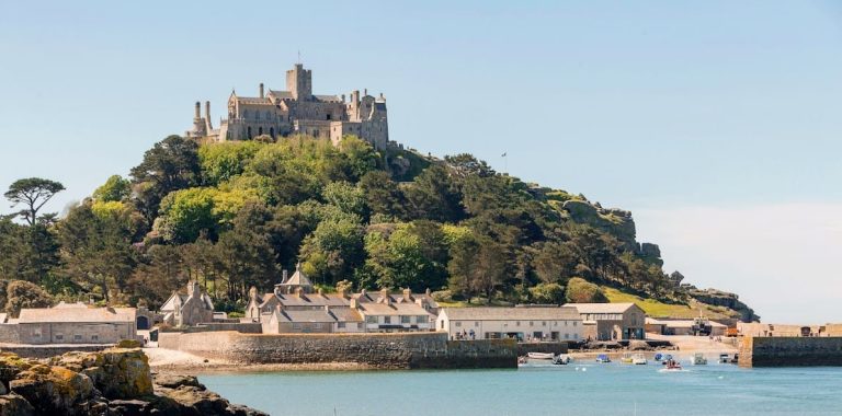
Cornish tradition tells that Trecobben, the giant of Trencrom, killed Cormelian, the wife of the giant Cormoran, by throwing a hammer from Trencrom Hill to St Michael’s Mount. The story connects the hill with the wider folklore of Cornwall and with the landmark visible across Mount’s Bay.
Remains
Summit enclosure
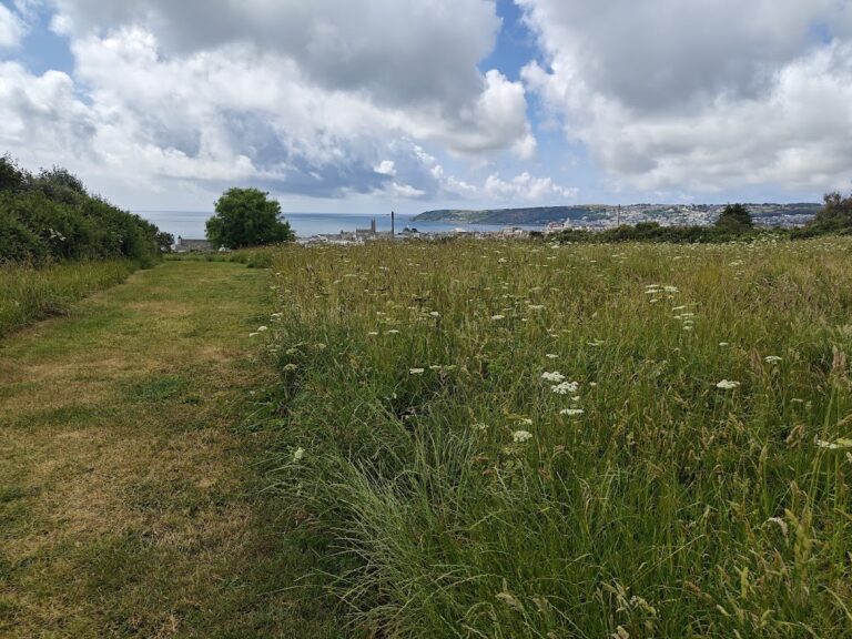
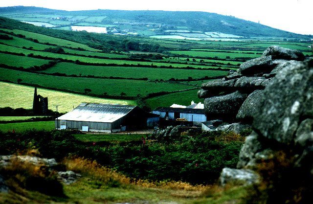
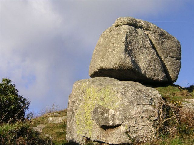
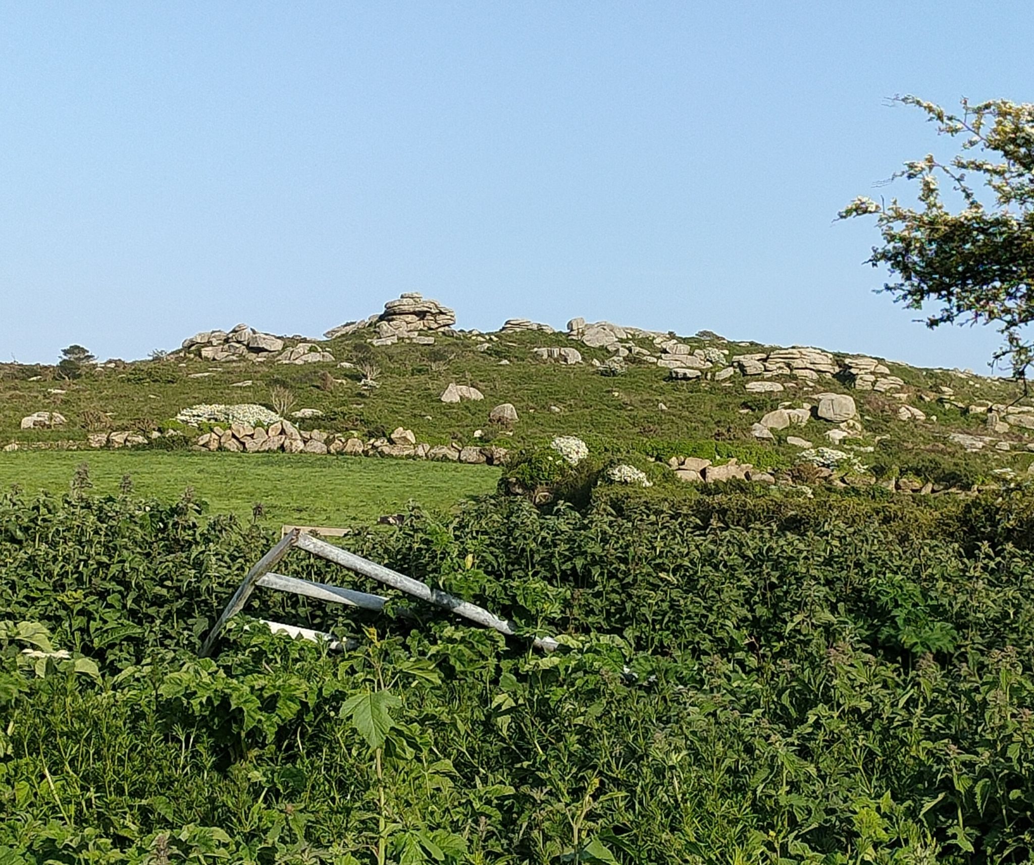
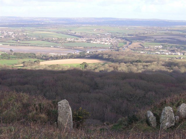
Trencrom Hill is a prominent granite hill overlooking the Hayle Estuary and the River Hayle. Mount’s Bay and St Michael’s Mount are visible to the south, while Trink lies about one kilometre to the northwest. The summit is enclosed by a univallate tor enclosure, meaning a prehistoric enclosure with a single enclosing bank or rampart, formed from stone and earth. The enclosure was later reused as an Iron Age hillfort. Cairns, which are constructed mounds or heaps of stones, and hut circles, the circular foundations or banks of prehistoric dwellings, remain visible in the level area inside the enclosing banks.
Wells and mining remains
Giant’s Well
On the western side of the hillfort ramparts is a well known as the Giant’s Well. Its position beside the enclosing works links a named water source with the prehistoric summit landscape and the traditions associated with Trecobben.
Praed Consols shaft
A separate well lower on the eastern flank began as a disused shaft of the Praed Consols, or Wheal Cherry and New Trencrom, mine. After the mine flooded, the shaft was used as a well. During the early twentieth-century mining attempt, a shaft on the eastern slope reached seven fathoms, or 42 feet (13 metres), and encountered a lode, a mineral-bearing vein, two feet (0.61 metres) wide. It yielded 60 pounds (27 kilograms) of black tin per ton. Black tin is cassiterite-bearing ore, the principal source of tin.
Quarrying and commemoration
A survey in January 1996 identified small-scale quarrying, mostly dating from the post-medieval period. Some workings used drills, while others employed wedges that may be earlier. Large areas of the granite summit had been levelled, probably to allow stone to be carried by cart along a paved track.
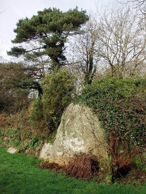
A plaque set into the rock beside the northern ascent commemorates the property’s presentation to the National Trust and the Cornish men and women who died in the First and Second World Wars.