Bolunburu: An Iron Age Fortified Settlement in Spain
Site at a Glance
- Rating
- 4.5
- Popularity
- Very Low
- Country
- Spain
- Primary era
- Iron Age
- Eras represented
- Iron Age
- Civilizations
- Unclassified
- Site type
- Military
- Remains
- Fortified Town
On this page8 sections
History
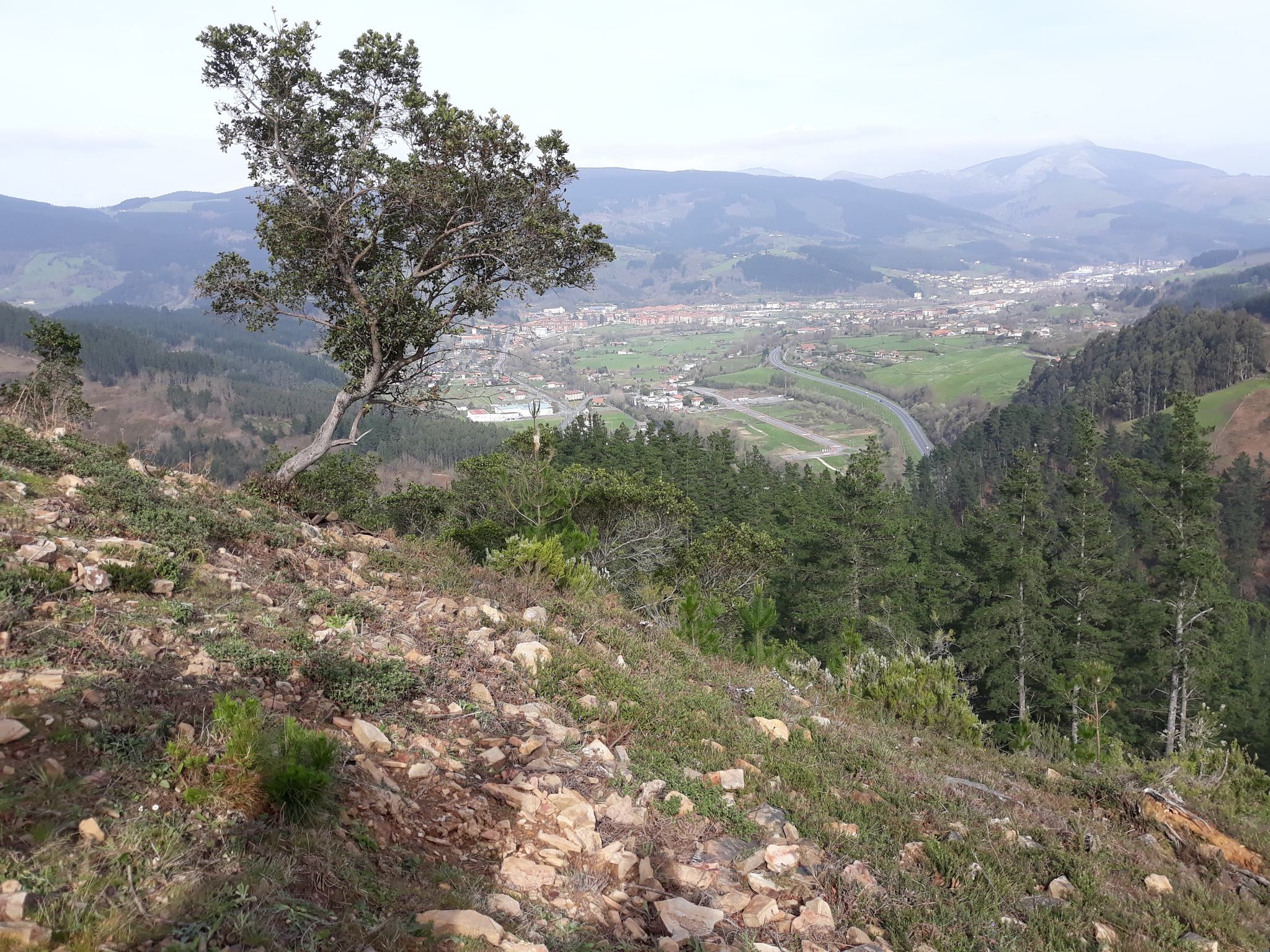
Bolunburu is an Iron Age fortified settlement in Spain, located on Bolunburu Rock in the municipality of Zalla, Biscay. Used in the fourth century BC, it belonged to communities that cultivated cereals and legumes while continuing to gather wild foods in a period when iron tools and weapons were widely used alongside stone, bronze, and organic materials.
Settlement and livelihoods
The inhabitants combined cultivation with the collection of wild fruits. Their activities included processing plant foods, and the settlement’s many sandstone hand mills may have been produced for exchange in the surrounding area. These remains indicate a community whose daily economy connected farming, gathering, craft activity, and local trade.
Fortification and protection
The earliest phases of the fortification wall date to approximately the second or third century BC. The settlement used both built defenses and its natural setting. Its position near the Kadagua River and on elevated ground helped protect it, while the defensive works were concentrated in the areas most vulnerable to approach.
Modern protection
In October 2020, the Basque Government designated the Bolunburu fortified settlement a cultural property of special protection as an archaeological or paleontological site. This status recognizes the remains as a protected archaeological resource.
Remains
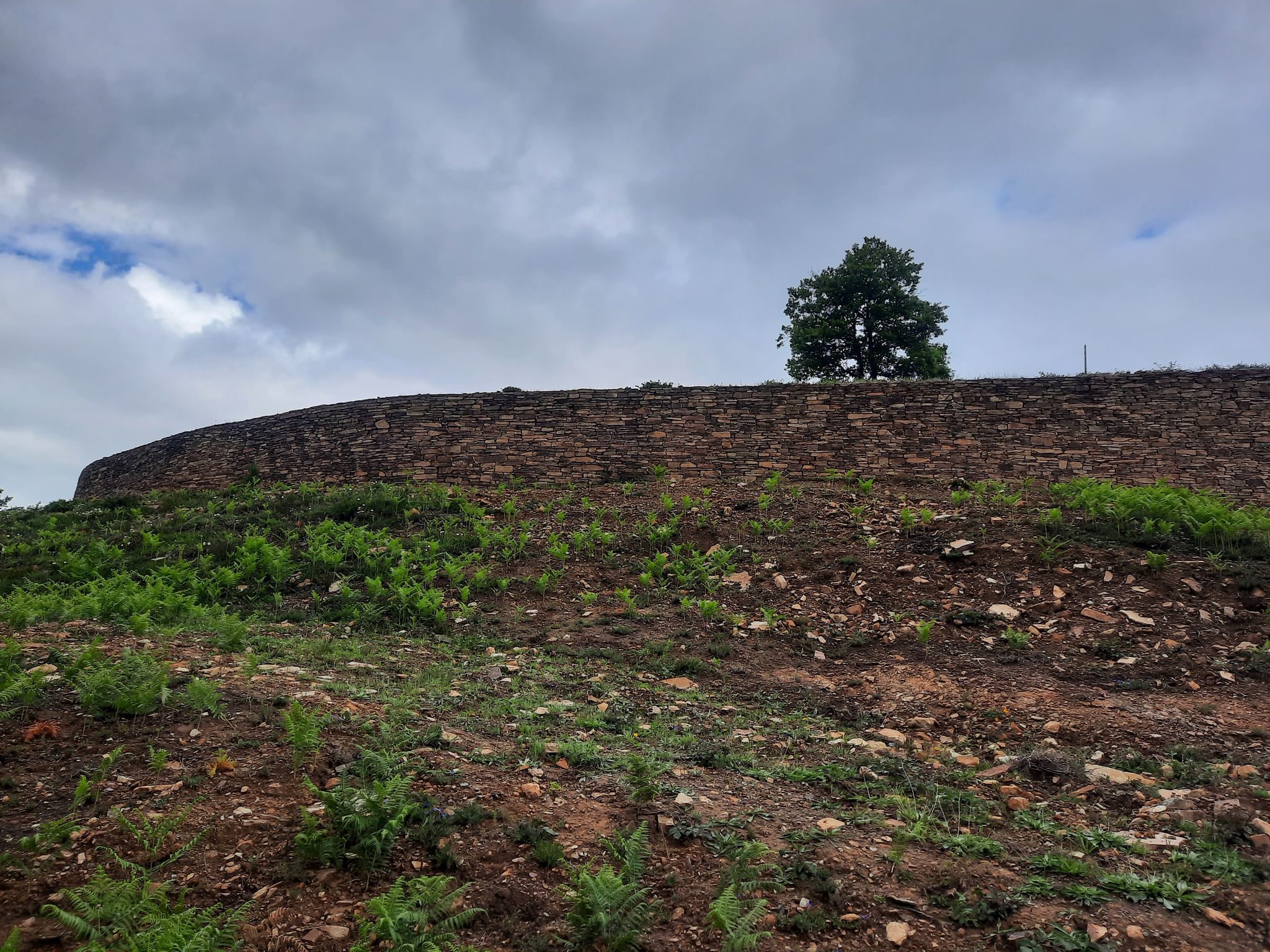
Bolunburu covers approximately 0.4 hectares at an elevation of about 320 metres. The settlement occupied ground near the Bolunburu recreation area and the La Mella monument complex. A fortification wall and an external ditch bounded the site, following the local topography. The northern side relied largely on the terrain, while the southern side required the strongest defensive construction.
Defensive works
On the southern side, the wall follows a perimeter of approximately 158 metres and reaches a maximum thickness of about 5 metres. Its irregular structure consists of an earth-and-stone core with outer faces made from stone slabs. Clay or smaller stones may have filled spaces between the larger blocks. The entrance was protected by two bastions, which were projecting defensive structures beside or within a fortification. One of these bastions has been destroyed.
Dwellings and work areas
The settlement’s buildings generally had irregular rectangular plans. Some retain narrow socles, or low supporting bases at the bottom of a wall, while others are marked by postholes. Walls and roofs were probably made from organic materials supported by these foundations. Floors consisted of compacted earth, and hearths were set at the same level. The range of building forms suggests that the structures served different functions.
One hut had a hearth built against the fortification wall and contained debris from metalworking, leading to its interpretation as a possible workshop. Other structures connected with this hut and the wall may have served as additional houses and storage buildings.
Hand mills and gathered foods
Numerous sandstone hand mills were found within the hillfort. Their quantity supports the importance of plant-food processing and may also relate to production for exchange in the surrounding area. Acorns recovered from the dwelling areas provide evidence that the inhabitants gathered wild foods as well as cultivating cereals and legumes.