Upytė Hillfort: A Fortified Centre of Upytė Land
Site at a Glance
- Rating
- 4.5
- Popularity
- Low
- Country
- Lithuania
- Primary era
- Early Modern
- External website
- Open
- Eras represented
- Early Modern
- Civilizations
- Grand Duchy of Lithuania, Polish–Lithuanian Commonwealth
- Site type
- Military
- Remains
- Castle
On this page8 sections
History
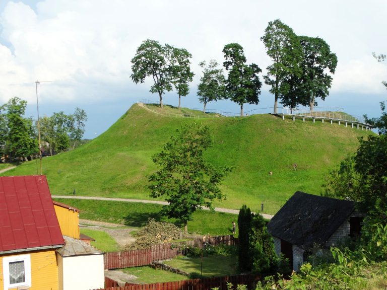
Upytė hillfort is a fortified site in Lithuania, north of Upytė, that is understood to have been the centre of Upytė Land, a historical territorial unit associated with the area. Upytė Land is mentioned from the thirteenth century, and an Upytė castle was still standing in the middle of the sixteenth century. The hillfort is also known as Čičinsko Kalnas and Tarnagala.
Upytė Land and the castle
The site occupied a central place in the history of Upytė Land. Its fortified enclosure formed part of a landscape that remained associated with Upytė into the sixteenth century, when the existence of an Upytė castle is still recorded. The surviving earthworks preserve the physical setting of that fortified centre, although the available evidence does not establish the date of their original construction.
The Sicinskis manor
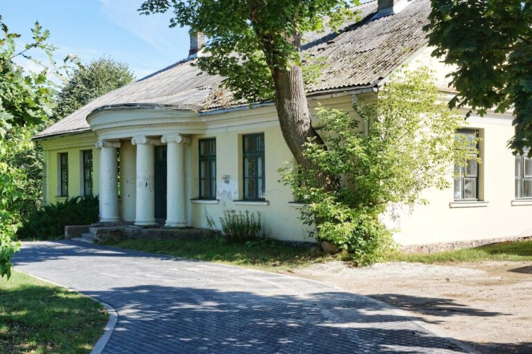
During the seventeenth and eighteenth centuries, a manor belonging to Vladislovas Sicinskis stood in the outer ward, a secondary enclosed area adjoining the principal fortification. Sicinskis was a landowner of Upytė district who lived from 1614 until after 1673. Inventories of the manor survive from 1604 and 1638, providing evidence for the estate and its administration at the beginning of the seventeenth century.
The manor phase altered the use of the outer ward from a defensive extension of the hillfort into an area that also accommodated a landed estate and its principal residence or administrative centre. Excavations later identified the foundations of a building from this period.
Investigation and protection
In 1997, Saulė Urbanavičienė examined part of the outer-ward rampart and established that it had been built in a single episode. A. Petrulienė excavated 35 square metres in the outer ward in 2004, uncovering the foundations of a manor-period building. These investigations connected the surviving earthworks with the later estate associated with Sicinskis.
A cemetery dating from the third to fifth centuries lies about 300 metres south of the hillfort. It was investigated in 1938 and again in 1998–1999, adding an earlier archaeological context to the fortified and manor remains. The hillfort became a cultural monument through a Lithuanian government resolution of 19 May 1998 and was included in a 2007 government list of immovable cultural-heritage objects of exceptional cultural value. Its protected territory covers 30,000 square metres, with a physical-protection subzone of 13,000 square metres.
Remains
Main enclosure
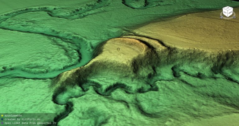
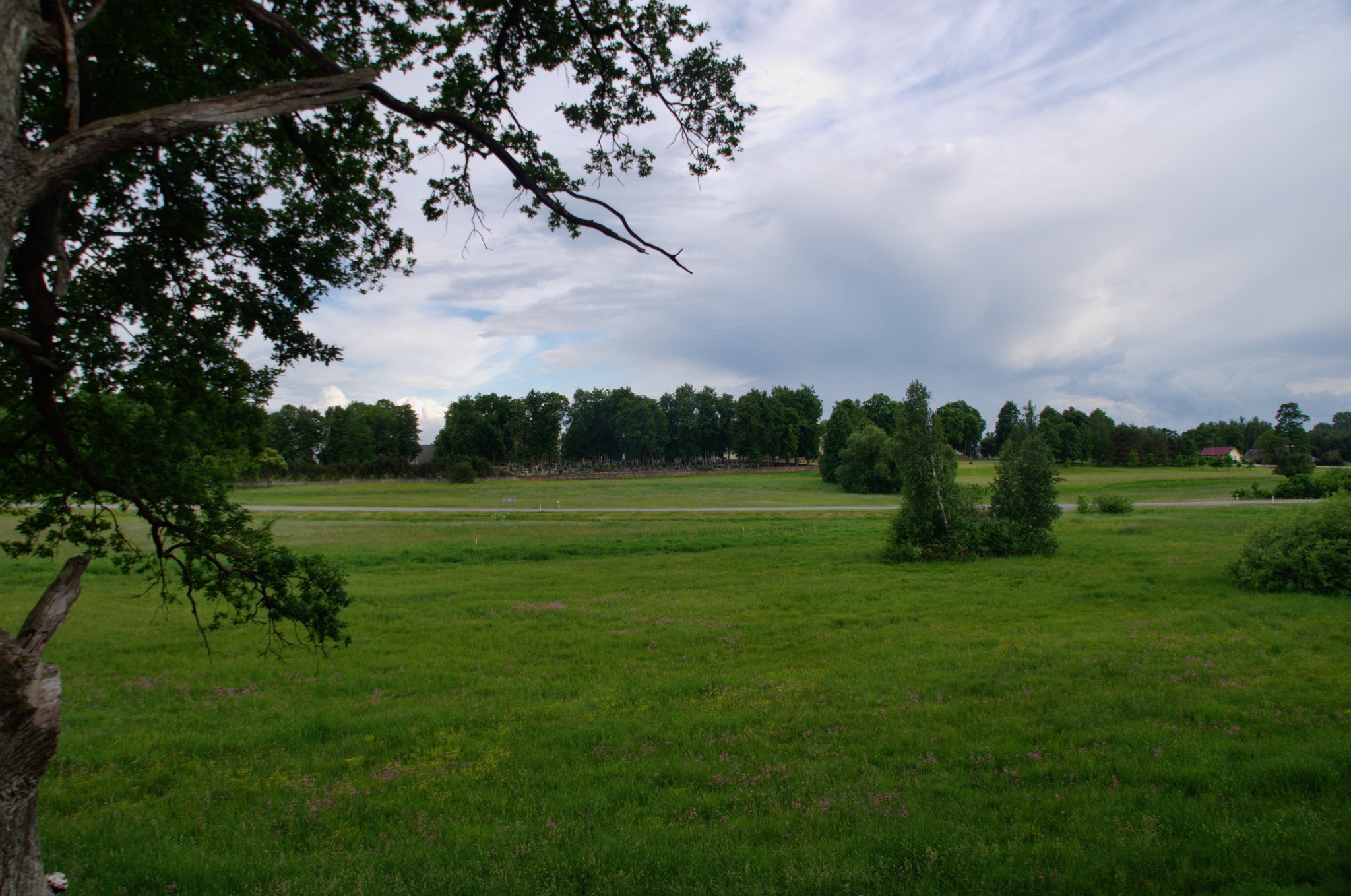
The hillfort occupies the narrower northeastern part of a gravelly hill surrounded by the former Veseta marshes, which were drained in 1930–1931. A natural oval depression lies in the northeastern-central part of the hill. It measures 85 metres in length, 25 metres in width, and 6 metres in depth.
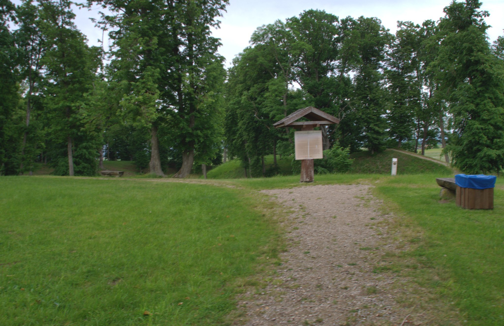
The principal enclosure is a rectangular area elongated along a northeast–southwest axis. It measures 40 by 18 metres, with its southeastern side approximately 1 metre higher. The enclosure is bounded by substantial earthworks. Along the northeastern edge, a rampart is about 1.2 metres high and 17 metres wide. Its outer slope descends for 4 metres to a ditch 8 metres wide and 1.5 metres deep. Beyond the ditch stands a second rampart, 0.3 metres high and 8 metres wide, which contains stones as large as 30 centimetres in diameter.
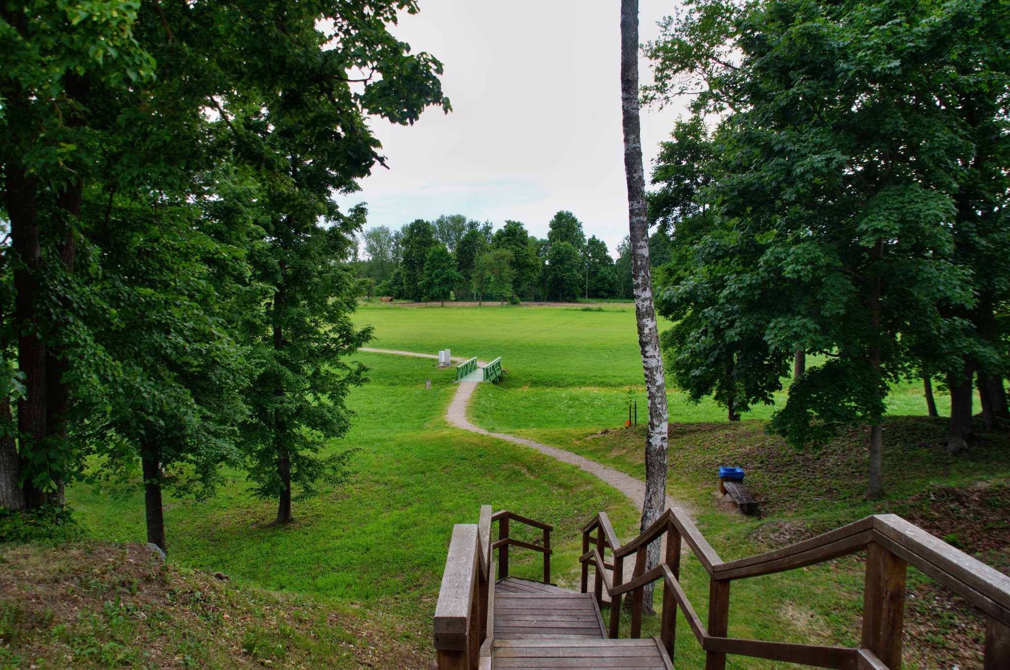
The southwestern edge has a rampart about 1.2 metres high and 14 metres wide. Its outer slope is 2.5 metres high and descends to an 8-metre-wide terrace containing stones up to 30 centimetres across. Beyond the terrace is a ditch 4 metres wide and 0.5 metres deep, followed by a second rampart 0.3 metres high and 6 metres wide. The hillfort slopes are steep and approximately 6 metres high. An excavated pit has disturbed the top of the northeastern rampart, while scattered deciduous trees and shrubs cover the earthworks and erosion affects parts of the slopes.
Outer ward
The outer ward lies north of the main hillfort, across a ravine, on a larger flat section of the hill. Its crescent-shaped enclosure extends along a northeast–southwest axis for 200 metres and varies from 16 to 38 metres in width. A semicircular rampart follows its southwestern and northeastern sides for about 250 metres. The rampart is approximately 2 metres high and 10 metres wide.
On the northern slope, a ditch was cut 4 metres below the rampart. It is 7 metres wide and 1.5 metres deep, and a now-demolished rampart once stood beyond it. Toward the northeast, the ditch and rampart rise by about 1 metre. On the northeastern slope, they become a terrace 9 metres wide before continuing as a ditch 4 metres wide and 0.2 metres deep, accompanied by a rampart 0.3 metres high and 5 metres wide.
The outer ward has been physically altered by quarrying and later earthmoving. Parts of the southwestern and northeastern slopes, together with sections of the rampart, were destroyed by a quarry. The rampart was cut through in the central area and pushed aside by a bulldozer in the northeastern part. A large pit occupies the northern part of the enclosure. Excavation in the outer ward revealed the foundations of a building belonging to the manor period, linking the surviving enclosure with its seventeenth- and eighteenth-century use.
Associated cemetery
About 300 metres south of the hillfort is a cemetery dating from the third to fifth centuries. Investigations carried out in 1938 and 1998–1999 examined this burial area as a separate archaeological feature associated with the wider landscape around the hillfort.