Aukštupėnai Mound: A Selonian Hillfort in Lithuania
Site at a Glance
- Rating
- 4.7
- Popularity
- Low
- Country
- Lithuania
- Primary era
- Iron Age
- External website
- Open
- Eras represented
- Iron Age, Medieval
- Civilizations
- Unclassified
- Site type
- Military
- Remains
- Fort
On this page11 sections
History
Aukštupėnai Mound, also known as Kupiškis Mound, is a hillfort in Kupiškis, Lithuania, associated with the Selonians, a Baltic tribal group whose territory included parts of present-day northeastern Lithuania and southeastern Latvia. The site was occupied from the middle of the first millennium BC to the beginning of the second millennium AD, and its earliest activity most likely dates between the middle of the eighth and fifth centuries BC. It formed part of the southernmost Selonian lands and may have been the centre of a local castle district covering at least about 100 square kilometres.
Early Selonian occupation
Aukštupėnai Mound probably began as a fortified community site during the period associated with brushed pottery. Its early defenses were built from sand, timber, and stone, and were burned and reconstructed several times. The latest use of the investigated area belongs to the eighth to tenth centuries AD, when the rampart was raised again over an earlier cultural layer.
The mound and its settlement probably formed one of several linked local centres within Selonian territory. Comparable mound-and-settlement systems associated with this network include Kereliai, Papiliai, Stirniškiai, and Gaigaliai. During the eighth to tenth centuries AD, the mound may have served for communal gatherings in both wartime and peacetime. Its function appears to have changed during part of the first millennium AD, when the investigated area produced evidence unlike that associated with residential use.
The medieval castle and destruction
A wooden community castle or refuge probably stood on the mound and may have provided the earliest nucleus for the later town of Kupiškis. Its fortifications were probably destroyed around 1240, during the first campaigns of the Livonian Brothers of the Sword. This medieval Catholic military order operated in the eastern Baltic before being incorporated into the Teutonic Order in 1237. The destruction of the castle belongs to the period when military expansion transformed the political landscape of the eastern Baltic.
Later use and archaeological investigation
Cultivation during the nineteenth century altered the summit, while trenches dug during the First World War damaged the summit and eastern slope. The first recorded written mention of the mound dates to 1885. A description of Kupiškis published in 1891 preserved a local legend about two giant brothers who sat on the mound and a nearby hill to converse. Other traditions attributed the earthworks to Swedish soldiers carrying sand in their hats, or claimed that a cellar beneath the mound contained a chest of documents. These stories belong to local tradition rather than to the archaeological history of the site.
Fiodor Pokrovsky produced the first identified scholarly description in 1899, followed by Liudvikas Krzywicki in 1906 and Petras Tarasenka in 1943. Archaeological reconnaissance took place in 1968, and the Lithuanian Institute of History investigated the mound in 1989. A small excavation north of the mound in 2009 covered a 2-by-5-metre area. Geoarchaeological and geophysical work in 2017 examined the sediment layers and the distribution and thickness of the cultural layer, while a detailed excavation followed in 2018 under the direction of A. Simniškytė-Strimaitienė.
The mound entered Lithuania’s Register of Cultural Heritage in 1997, became a cultural monument in 1998, received state-protected cultural property status in 2005, and was included among immovable cultural heritage objects of exceptional cultural value in 2007. Since 2009, Baltic Unity Day events have also been held on the mound, giving the site a continuing cultural association with Baltic heritage.
Remains
Hillfort layout and defenses
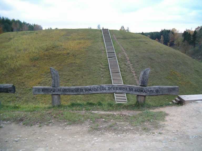
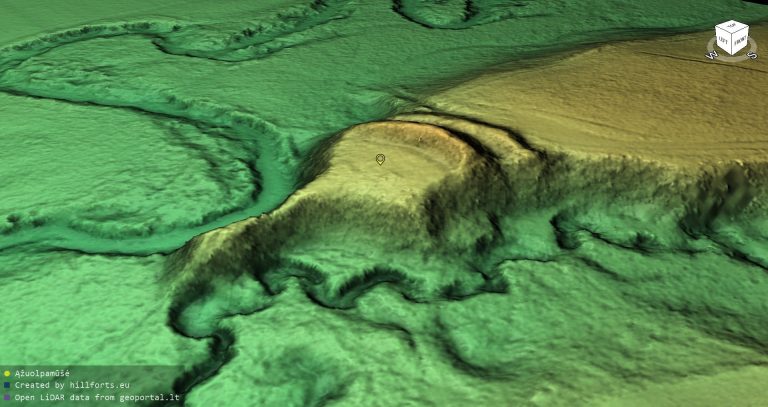
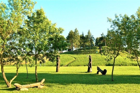
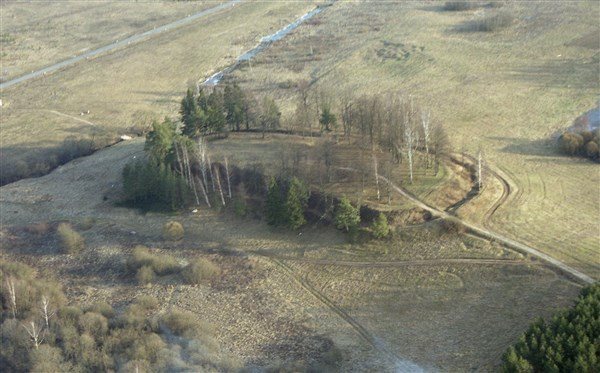
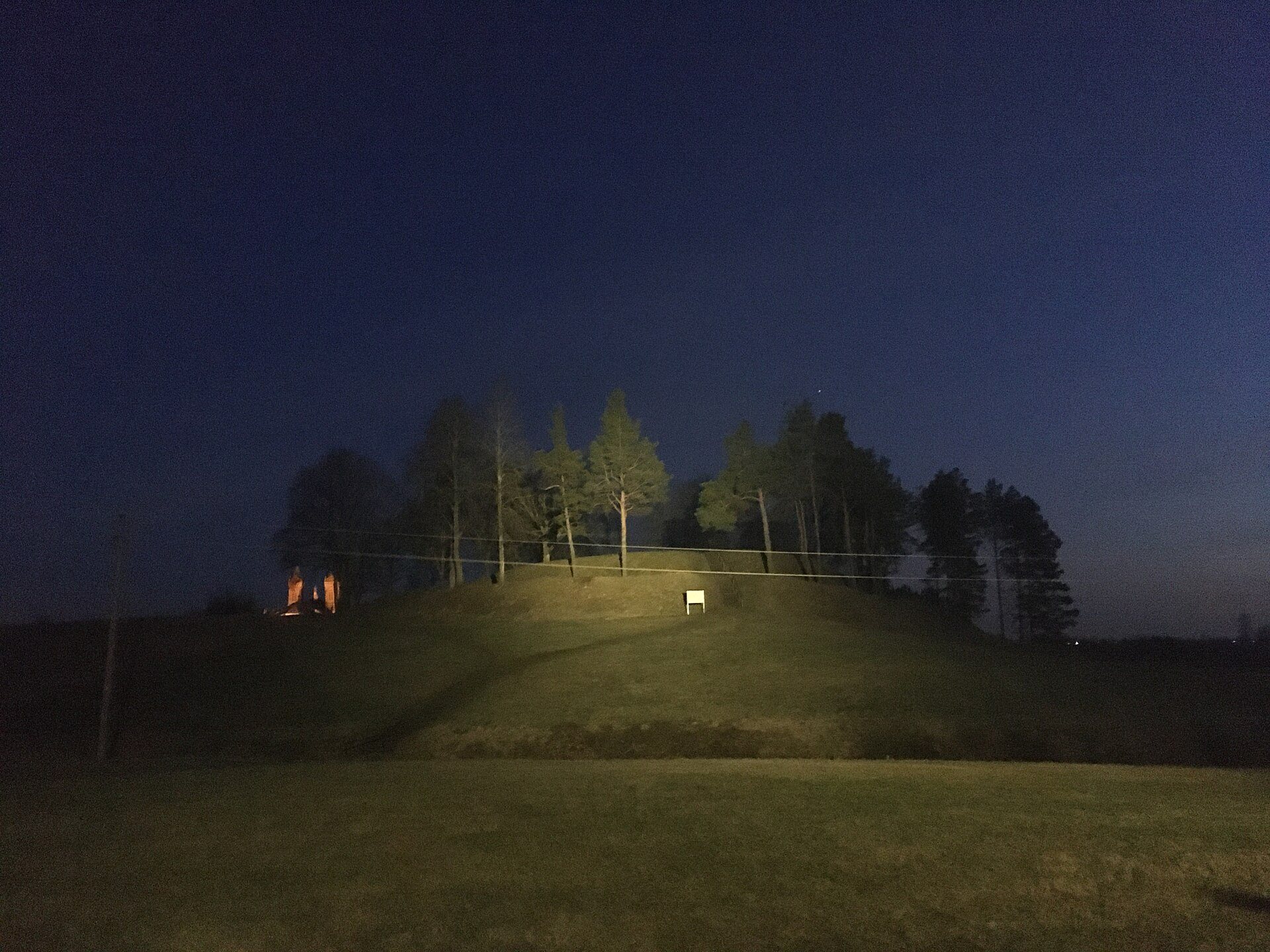
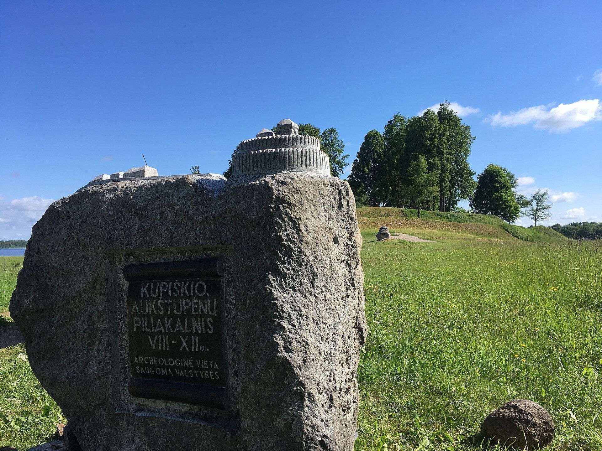
Aukštupėnai Mound occupies a hill on the left bank of the Lėvuo River, where the river meets the Aukštupys stream. The Aukštupys valley borders the hill to the north, the Lėvuo valley to the west, a ravine to the east, and higher ground to the south. Marshy river valleys around the hill provided natural defensive protection. The elongated, oval summit runs from north to south and measures about 110 by 40 metres. Its moderately steep slopes rise between 8 and 20 metres.
Summit and inner fortifications
The fortified summit was formerly understood as the castle courtyard. A raised central portion occupies the elongated hill, while the cultural layer is concentrated around the edges of the approximately 3,940-square-metre summit. A rampart once stood along the southern edge, where only remnants survive. The 2017 and 2018 investigations showed that the defensive system included timber structures that are not visible above ground but can be traced through archaeological evidence.
The 2018 excavation on the eastern edge of the summit exposed a cultural layer up to 2 metres thick. The rampart contained four dumped layers separated by charcoal-rich bands, reflecting repeated construction or rebuilding. At a depth of 140 to 150 centimetres, burned logs and posts formed a structure aligned northwest along the rampart. Stones of about 30 by 30 and 40 by 40 centimetres, together with stones of other sizes, reinforced its base.
Ditch, terraces, and outer rampart
A ditch was cut into the northern, eastern, and southern slopes at a level 4 to 4.5 metres below the summit edge. It was approximately 3 to 4 metres wide and 2 metres deep. Beyond it stood an outer rampart about 280 metres long, approximately 1.8 metres high, and 7 metres wide. The ends of this earthwork reached a terrace around 50 metres long. Only the terrace survives on the western slope. Above it, the slope was steep and artificially levelled, while the ground below retained its natural form.
The early fortification combined sand, timber, and stone. Beneath it lay the original ground surface, formed by a 5 to 10-centimetre layer of greyish sand over silty loamy sand and deeper loamy moraine. Seven postholes were found in the natural ground, including one dated to the eighth to fifth centuries BC. A posthole at a depth of 225 centimetres contained a barley-grain fragment and plant remains that may reflect agricultural activity.
Associated settlement and archaeological finds
Settlement area
The settlement connected with the hillfort extended mainly east and south across about 5 hectares. Cultivated parts of this area produced fragments of coarse-surfaced hand-built pottery, wheel-thrown pottery, and burned clay daub. Together with the defensive summit, the settlement formed a wider centre whose activity spread beyond the raised hill itself.
Excavated objects and animal remains
The excavations identified ten archaeological features, including eight postholes measuring between 15 by 15 and 30 by 30 centimetres. A pottery sherd carried geometric decoration characteristic of the second half of the first millennium AD. In total, the investigations recovered 230 finds, including two coins, a seal, a button, an unidentified object, a nail, and a sandstone whetstone. They also produced 224 pottery sherds, including three wheel-thrown pieces, 174 grams of clay daub, and 277 grams of bone.
Sixty-nine fragments of animal bones and teeth were identified, most belonging to domestic animals, especially pigs and sheep or goats. Sixteenth- and seventeenth-century coins, the sandstone whetstone, a nineteenth-century seal, and a later button were not directly connected with hillfort occupation, but they show that people continued to visit the mound after its principal defensive phases. Finds from the investigations are preserved at the Lithuanian National Museum.