Ukmergė Hillfort: The Site of Vilkmergė Castle in Lithuania
Site at a Glance
- Rating
- 4.6
- Popularity
- Medium
- Country
- Lithuania
- Primary era
- Medieval
- External website
- Open
- Eras represented
- Medieval
- Civilizations
- Grand Duchy of Lithuania
- Site type
- Military
- Remains
- Castle
On this page8 sections
History
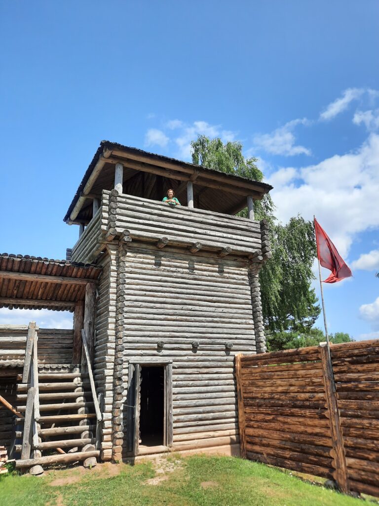
Ukmergė Hillfort is a medieval fortified stronghold in Lithuania, located in Ukmergė and dated from the fourteenth century to the middle of the fifteenth century. A castle known as Vilkmergė Castle stood on the hill, which occupied a defensible position near the confluence of the Šventoji and Ukmergėlė rivers.
Conflict in the Fourteenth Century
The Livonian Order, a medieval Catholic military order active in the eastern Baltic, repeatedly ravaged the area around the castle. Attacks took place in 1333, in early February 1364, on 15 August 1365, on 22 August 1373, and in mid-February 1378. These campaigns damaged the castle’s surrounding area, but the stronghold apparently remained in its defenders’ hands until 1385.
In May 1385, Sudimantas, a Lithuanian nobleman supported by the Teutonic Knights, captured the castle by surprise. The Teutonic Knights were a related German military order that campaigned against Lithuania and other powers in the eastern Baltic. When Teutonic forces approached in September 1388, the defenders burned the castle themselves.
Rebuilding and Later Records
The castle was rebuilt after its destruction and was occupied again in August 1391. It was rebuilt once more at a later stage, since Vilkmergė Castle appears in records from 1398, 1410, 1412, 1415, 1424, 1425, 1434, and 1435. Castle court books are also mentioned in 1597, showing that the site retained an administrative connection with the castle long after the medieval rebuilding phases.
Changes to the Hillfort
Buildings on the summit were demolished during the nineteenth century, after which the levelled area served as a marketplace. Archaeologist Justinas Račas stated that the summit was levelled again in the middle of the twentieth century. The Institute of History surveyed the hillfort in 1970, and archaeologists investigated a settlement at its southern and eastern foot in 2003.
Erosion had affected the slopes since the beginning of the nineteenth century, particularly on the northern side. Measures carried out from 1993 to 1995 halted this process. The hillfort was declared state-protected under an order of the Lithuanian Ministry of Culture dated 29 April 2005, and its protected territory covers 12,000 square metres.
Remains
Main Hillfort
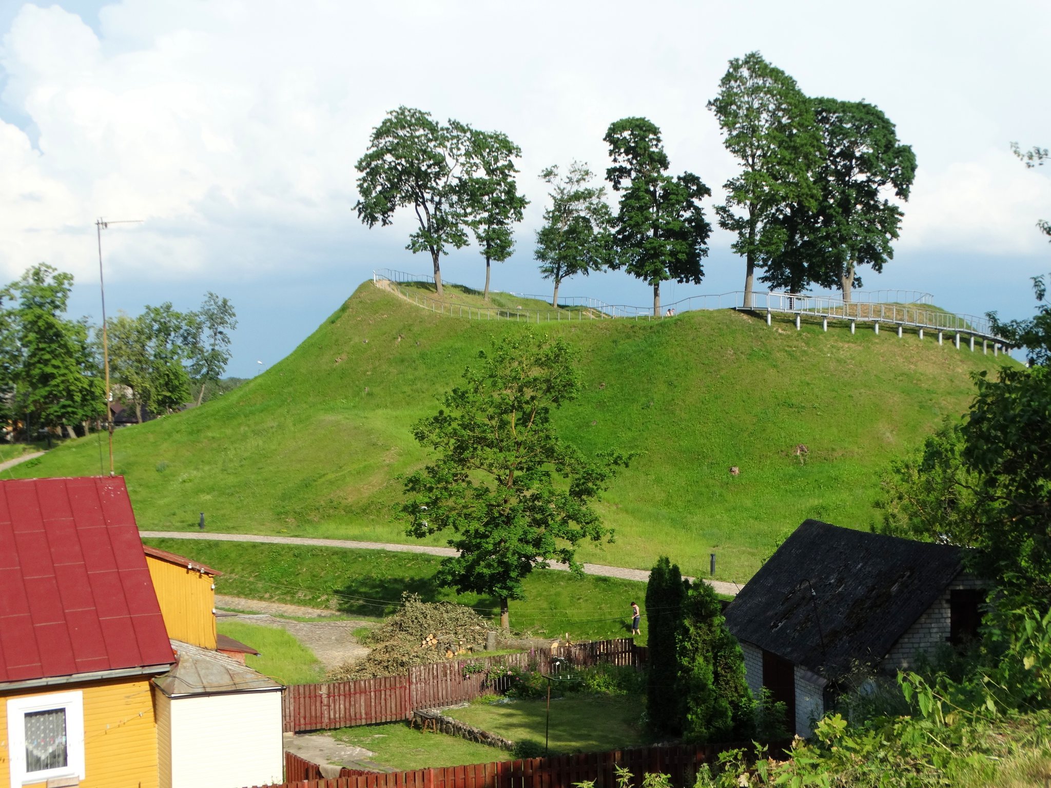
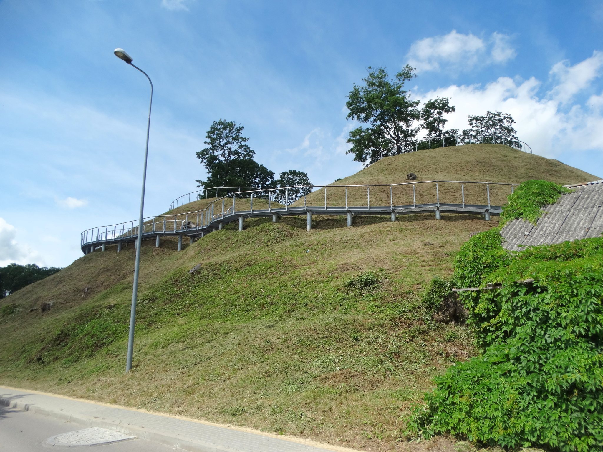
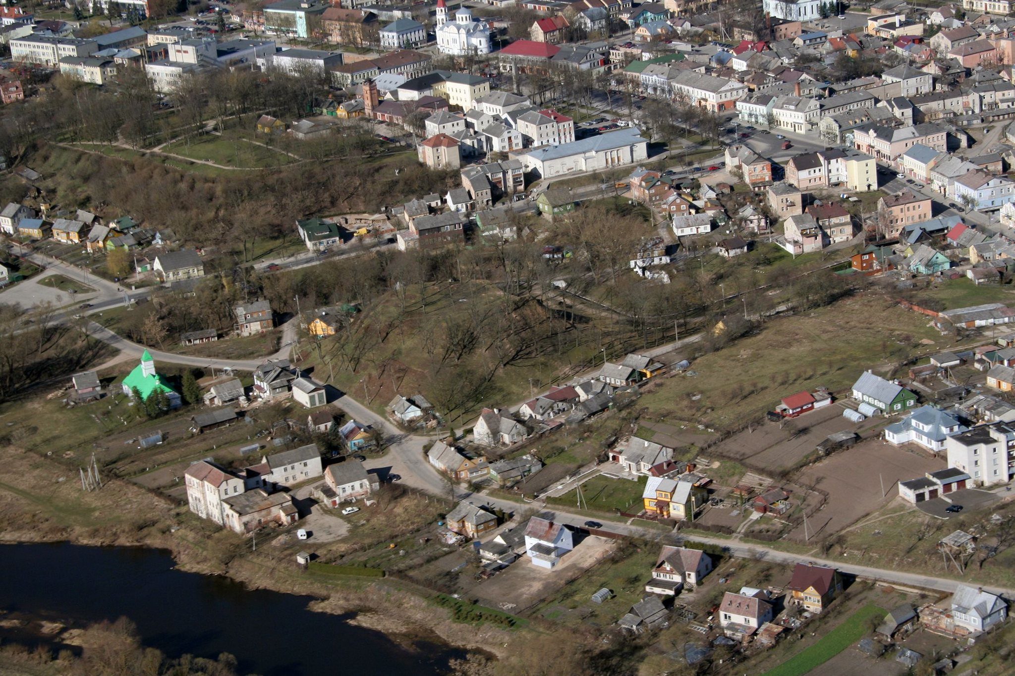
Ukmergė Hillfort rises on the right bank of the Šventoji and the left bank of the Ukmergėlė, also called the Vilkmergėlė, near their confluence. An Old Believer church stands at its foot. The summit has an oval plan oriented from west to east, measuring 26 metres in length and 30 metres in width. It was enclosed by an 85-metre-long rampart, an earthwork defensive bank, measuring between 1 and 4 metres high and between 11 and 24 metres wide. The rampart reaches its greatest height on the eastern side.
The hillfort’s slopes rise approximately 16 metres and contain pits. Sparse deciduous trees cover the site, while stairways ascend the south-western and northern slopes. The north-eastern part of the rampart continues to experience slight erosion. Finds from the hillfort include logs laid one above another, discovered on 15 October 1836, as well as a well lining and a wooden shovel found several years earlier.
Castle Hill Forework
About 200 metres south-west of the hillfort, on the right bank of the Ukmergėlė and on a promontory of the Šventoji’s right bank, lies a feature called Pilies Kalnas, or Castle Hill. It is probably the hillfort’s forework, an outer fortified position associated with a larger stronghold. Its oval summit extends from east to west for 120 metres and is 40 metres wide. The southern and eastern slopes are steep, rising 10 to 20 metres, while the northern and western slopes are gentler and rise 2 to 3 metres. The feature has been heavily disturbed since the sixteenth century, when it became part of the town.
Foot Settlement
A settlement covering approximately 0.5 hectares extended along the southern and eastern sides of the hillfort. Excavation there in 2003 produced wheel-thrown pottery, providing material evidence for activity around the fortified elevation.