Tsukazaki Kofun Group: An Ancient Burial-Mound Complex in Japan

Site at a Glance
- Rating
- 4.2
- Popularity
- Very Low
- Country
- Japan
- Primary era
- Classical
- External website
- Open
- Eras represented
- Classical
- Civilizations
- Yamato
- Site type
- Burial
- Remains
- Necropolis
On this page9 sections
History
Tsukazaki Kofun Group is an ancient Japanese burial-mound complex in Kimotsuki, Kagoshima Prefecture, Japan, established between the fourth and fifth centuries during the Kofun period. It is regarded as the oldest kofun group in the Osumi region. The site reflects the development of elite burial practices in southern Kyushu and the expansion of political influence associated with the Yamato polity, an early state centered in the Kinai region around the former political centers of Nara and Osaka.
Early burial mounds
The keyhole-shaped mounds are generally dated to the fourth century. A keyhole-shaped mound has a square front and a circular rear when viewed from above, and these monuments are interpreted as an earlier group of chiefly burials. Their presence places Tsukazaki at the southern limit of known keyhole-shaped burial mounds in Japan.
The group’s position in the Kimotsuki Plain also relates to a later change in the location of elite burial centers. The Tangin Kofun Group farther north began to be built in the fifth century, after the principal phase represented by the earlier Tsukazaki mounds. This shift has been interpreted in connection with political changes under the Yamato polity, including the movement of elite burial centers from the Nara Basin toward the Kawachi Plain.
Changing burial customs
During the fifth century, underground horizontal cave tombs became prevalent in Osumi. These tombs, together with stone-coffin burials, show that several forms of burial existed within the wider complex. The combination of keyhole-shaped mounds, round mounds, cave tombs, and stone coffins makes Tsukazaki an important record of changing funerary practices in the region.
Yayoi-period dwelling remains have also been found in the surrounding area. The Yayoi period preceded the Kofun period and was associated with wet-rice agriculture and increasingly stratified communities, providing evidence for earlier activity in the landscape around the burial complex.
Recognition and investigation
Setoguchi Denkuro reported the site in 1919. It became a National Historic Site on February 22, 1945, and the protected area was enlarged in 2013, 2020, 2024, and 2025. The original designation covered 12,373.56 square meters, while the 2013 addition brought the total protected area to 189,716.63 square meters.
Research by Kagoshima University and the University of the Ryukyus took place in 1992–1995 and in 2001. Kimotsuki municipal investigations to establish the site’s extent followed in 2004–2007 and 2012–2014, with a report published in 2009. The numbering of the mounds and tombs was reorganized in 2009 and again in 2017 as newly identified mounds were incorporated. Most of the mounds remain archaeologically uninvestigated, so their contents and detailed histories are still largely unknown.
Remains
Plateau burial complex
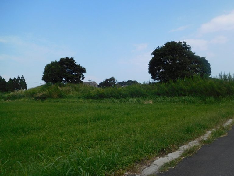
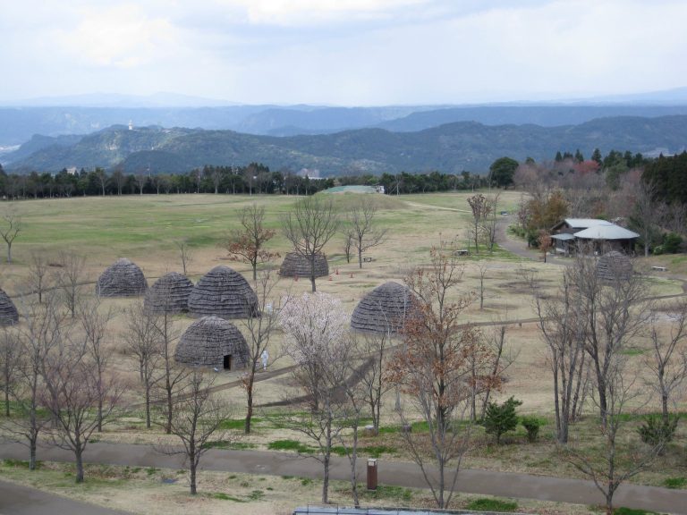
The complex occupies the Shirasu and Tsukazaki plateaus, a locally described tongue-shaped plateau at approximately 20–30 meters above sea level. It lies on the right bank of the Kimomi River at the northern foot of the Kunimi Mountain Range. The current arrangement recognizes 59 mounds, comprising five keyhole-shaped mounds and 54 round mounds, of which 39 round mounds survive. The site also includes 29 underground horizontal cave tombs, whose burial chambers were cut sideways from the bottoms of vertical shafts.
Hanamure Kofun
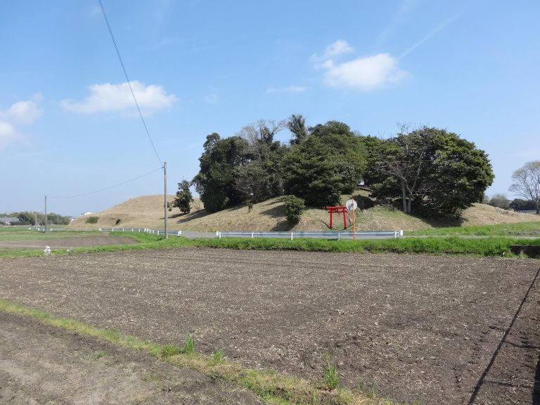
Mound No. 51, known as Hanamure Kofun, is the southernmost known keyhole-shaped burial mound in Japan. It was previously numbered No. 39 or No. 40. Approximately 66 meters long and 10 meters high, it was formed by reshaping the end of a small natural hill. Fukiishi, a covering of stones laid over a burial mound to protect and finish its surface, survives on the mound.
Excavated burial goods
Mound No. 25 contained a small round-bottomed pot and an earthenware stand thought to have been used in burial rituals. Similar pot-shaped clay pottery came from Mound No. 18. Mound No. 31 produced Haji ware, an unglazed ancient Japanese earthenware, and Sue ware, a high-fired ceramic tradition, associated with the Kinai region, a major source of elite material culture in ancient Japan.
Otsuka Shrine precinct
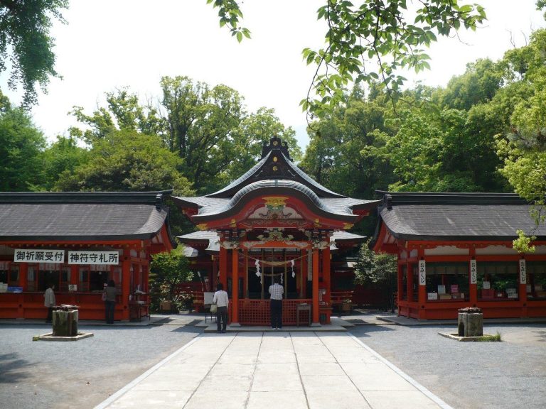
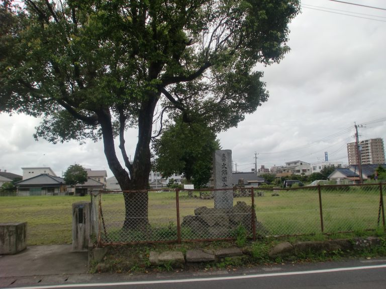
Mound No. 1 and the Tsukazaki Kusu tree lie within the precincts of Otsuka Shrine, a Shinto place of worship dedicated to kami, or sacred beings and forces in Japanese tradition. The shrine is traditionally attributed to Shimazu Tadahisa, founder of the Shimazu clan, and the tree is said to have been regarded as sacred from the shrine’s foundation.
The Tsukazaki Kusu is a large camphor tree growing on Mound No. 1. It is estimated to be about 1,300 years old, stands approximately 25 meters high, and has a circumference of about 14 meters. It was formerly at least 10 meters taller. Typhoon No. 13 damaged the tree in 1993, after which its vitality declined; rot developed in various parts and sections of the trunk became hollow. The tree was designated a National Natural Monument on February 10, 1940.