Tōjin Kofun Cluster: A Kofun-Period Burial-Mound Complex in Japan
Site at a Glance
- Rating
- 3.8
- Popularity
- Very Low
- Country
- Japan
- Primary era
- Classical
- External website
- Open
- Eras represented
- Classical
- Civilizations
- Unclassified
- Site type
- Burial
- Remains
- Necropolis
On this page6 sections
History
The Tōjin Kofun Cluster is a Kofun-period burial-mound complex in Shinkawanishi, Kagoshima Prefecture, Japan. The Kofun period, conventionally dated from approximately the third to sixth centuries, was an era when Japan’s ruling elite were buried in large mounds. Developed during the middle Kofun period, Tōjin became the largest kofun cluster in Kagoshima Prefecture and includes the prefecture’s largest burial mound.
Formation during the middle Kofun period
Mound construction probably began with Kofun No. 1, followed by Kofun No. 100 and then Kofun No. 16. These three keyhole-shaped tombs formed a sequence of chiefly burials, with construction ending in the later part of the middle Kofun period. A keyhole-shaped mound combines a square front section with a circular rear section and was a characteristic elite tomb form of the period.
On the shore of Shibushi Bay, the cluster followed the Tsukazaki Kofun Cluster and preceded the Yokose Kofun as a leading chiefly burial complex. Its concentration of small round mounds and the scale of its principal tombs provide evidence for examining social and political relationships between communities around Shibushi Bay and the Yamato polity, the early Japanese ruling power centered in the Kinai region around present-day Nara and Osaka. Burial customs at Tōjin also contribute to that interpretation.
Recognition and archaeological investigation
The site was reported in 1923 and designated a National Historic Site on January 22, 1934. This designation, which places sites of historical or cultural importance under legal protection, originally covered 132 mounds.
A distribution survey in 1962 identified four keyhole-shaped mounds and 114 round mounds, while 14 mounds could not be located. Investigations from 1989 to 1992 examined Kofun Nos. 100 and 1 and finds associated with No. 91. A confirmation survey of No. 132 took place in 1992, followed by surveys connected with field improvement in the Eboshi district from 1993 to 1995.
Surveys conducted between 2008 and 2016 confirmed three keyhole-shaped mounds and 119 round mounds. They also identified one destroyed mound and one mound that was not a kofun, while eight mounds remained uninvestigated. The resulting total is 130 burial mounds. Finds from the cluster are kept and displayed at the Higashikushira Town Local History Study Hall.
Remains
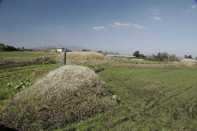
Burial-mound landscape
The cluster occupies the Otsuka sandbar, an older belt of sand dunes on slightly elevated ground about 5 to 7 metres above sea level. It lies on the left bank of the lower Kimotsuki River near the coast of Shibushi Bay. The surrounding burial-mound complexes include Tsukazaki to the south, Okazaki to the west, and Yokose and Jinryo to the north.
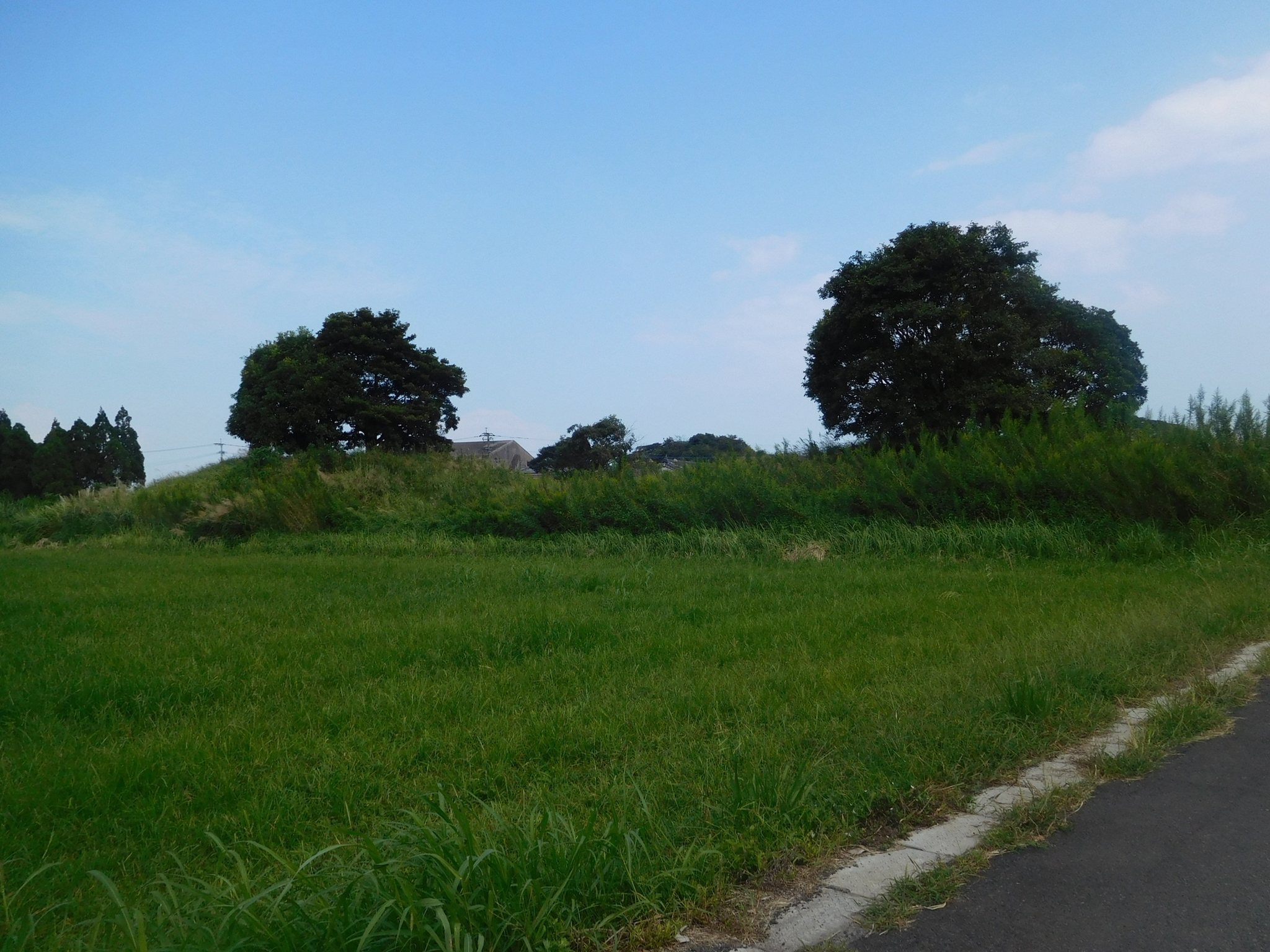
The surviving complex consists of three keyhole-shaped mounds, 119 round mounds, and eight mounds of uncertain form. Most are small circular burial mounds. The principal exceptions are the keyhole-shaped Kofun Nos. 1, 16, and 100, together with the medium-sized round mounds Nos. 17 and 33.
Principal tomb and burial chamber
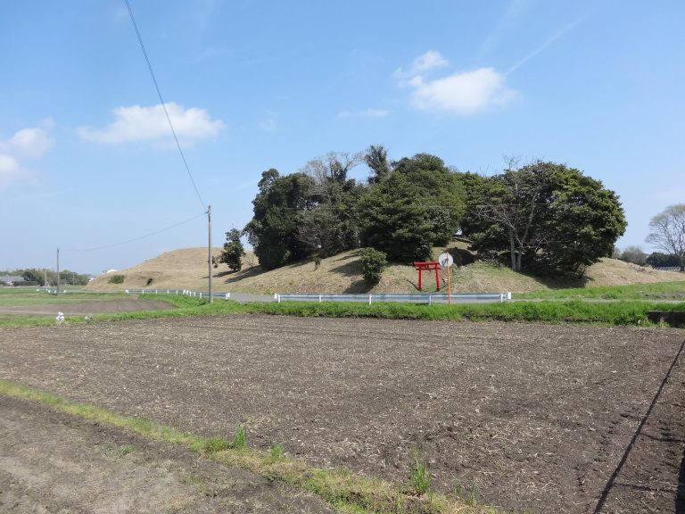
Kofun No. 1, known as the Tōjin Ōtsuka Kofun, is about 140 metres long, although a length of 154 metres is also given. Including its surrounding moat, it measures about 185 metres, and its height is approximately 11 metres. It is the largest kofun in Kagoshima Prefecture and the third-largest in Kyushu.
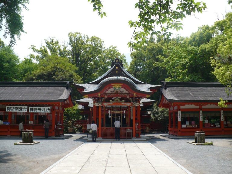
A Shinto shrine stands on the summit of Kofun No. 1, with five capstones from the stone burial chamber exposed beneath the shrine buildings. Inside, the chamber contained a boat-shaped sandstone sarcophagus measuring 2.75 metres long and 0.87 metres wide. Remains of iron armour were found between the chamber’s north wall and the sarcophagus. The tomb dates to the beginning of the middle Kofun period.
The cluster’s burial chambers also help explain its archaeological character. An underground horizontal cave tomb is entered through a passage cut horizontally from the bottom of a shaft or pit, rather than directly from above. This form was common on the Ōsumi Peninsula around the middle Kofun period, while the Tōjin complex represents a different local pattern that may reflect both its sandy setting and its political relationship with the Yamato polity.