Tomida Chausuyama Kofun: A Keyhole-Shaped Burial Mound in Japan
Site at a Glance
- Rating
- 4
- Popularity
- Very Low
- Country
- Japan
- Primary era
- Classical
- External website
- Open
- Eras represented
- Classical
- Civilizations
- Yamato
- Site type
- Burial
- Remains
- Burial Mound
On this page8 sections
History
Tomida Chausuyama Kofun is a large burial mound in Sanuki, Kagawa Prefecture, Japan, built during the early fifth century in the first half of the middle Kofun period, an era from roughly the third to the sixth centuries when monumental elite tombs were constructed across the Japanese archipelago. With a mound length of 139 metres, it is the largest kofun in Shikoku. Its scale and form reflect the growing influence of the Yamato royal authority, the early political power centred in the Kinai region around present-day Nara, Kyoto, and Osaka.
The Rise of Yamato Influence
The mound stands on the eastern edge of the Nagao Plain in eastern Sanuki. Compared with earlier local burial mounds, its character is less regional and more closely connected with the culture associated with Yamato authority. The disappearance of the burial-mound group around Tsuda Bay coincided with the emergence of Tomida Chausuyama Kofun. This change suggests that the person buried here possessed powerful authority in eastern Sanuki and maintained a close relationship with Yamato.
The site has also been interpreted in relation to changing regional routes. The ancient Nankaido, an administrative highway and regional route in southwestern Japan, is thought to have run north of the mound. Its proposed route has led to the interpretation that strategic attention was shifting from maritime connections through Tsuda Bay toward inland land routes.
Traditions and Archaeological Investigation
Later traditions gave the mound several identities. An eighteenth-century record named it as the tomb of Yamato Takeru, a legendary imperial prince and warrior in early Japanese tradition. A historical work from 1828 associated it variously with Emperor Nintoku, a traditionally recognized early emperor, his son Prince Nanba, or a place called Chausuyama Castle. The mound was also connected with Prince Kamukushi, a figure in the historical and legendary traditions of Sanuki.
During the Meiji period, an attempt to construct a sumo ring on the summit of the circular rear section reportedly brought a ceiling stone from the burial chamber to light. The chamber’s details remain unknown, although a pit-style stone chamber is inferred. Excavations took place within the kofun area in fiscal year 1989 and in the surrounding area from fiscal years 1993 to 1996. Tomida Chausuyama Kofun became a National Historic Site on July 26, 1993.
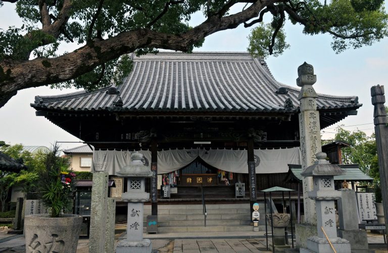
The traditional name “Thousand-Jar Mountain” is linked to the haniwa placed on the mound. A stone image of Maitreya, a Buddhist bodhisattva believed to become the Buddha of a future age, is thought to have been made between the late Kamakura period and the Nanboku-cho period, the fourteenth-century era of rival imperial courts. It was reportedly found in a pond beside the kofun and later moved to its present position. The image became a Sanuki municipal tangible cultural property in 1972.
Remains
Main Mound and Moat
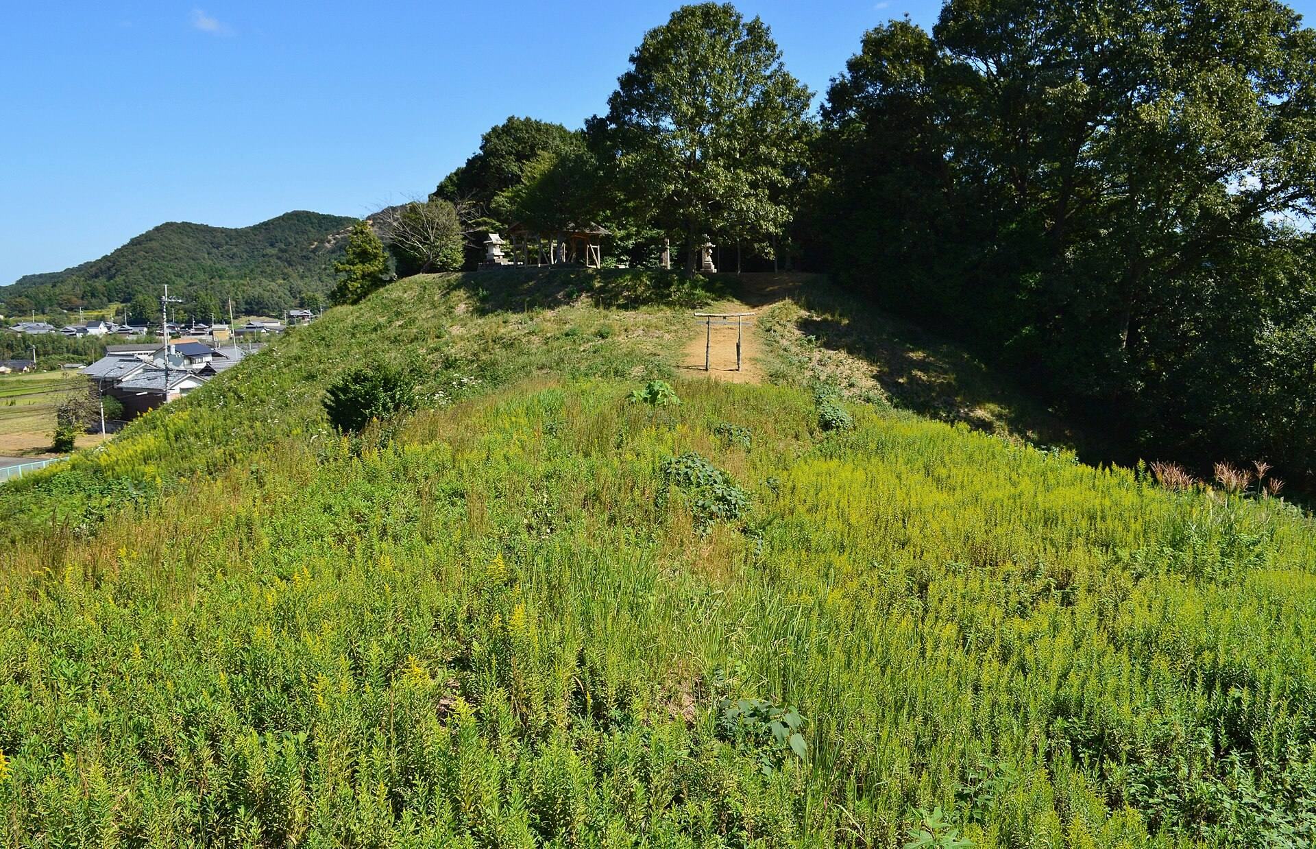
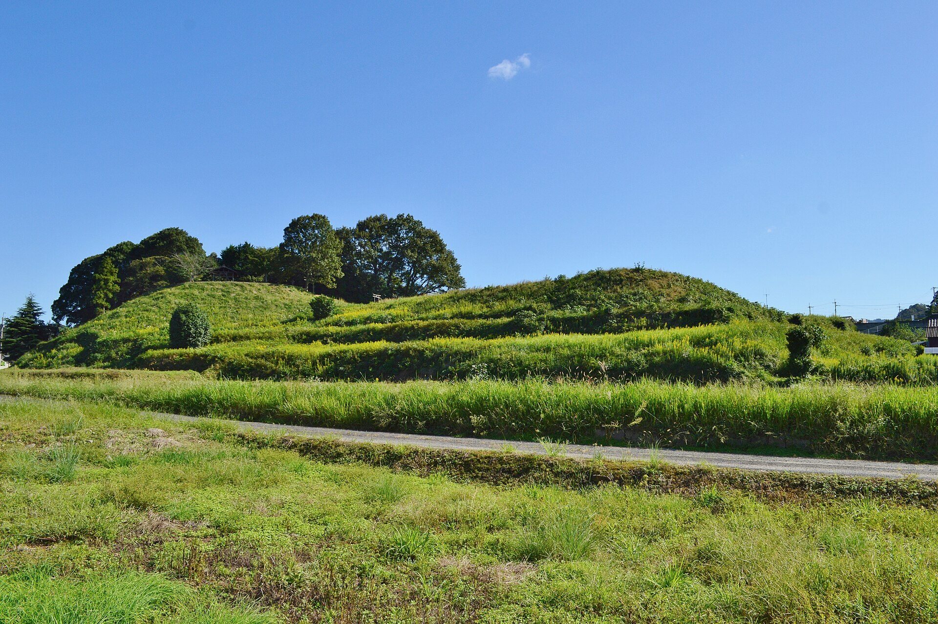
Tomida Chausuyama Kofun has a keyhole-shaped plan, combining a circular rear section with a rectangular front section. The front points west, and the mound was built in three tiers. The circular rear portion is about 90 metres in diameter and 15 metres high. The rectangular front portion measures 49 metres in length, 77 metres in width, and 12.5 metres in height, while the connecting neck is 56 metres wide.
A shield-shaped moat surrounds the mound. It narrows beside the front portion and ranges from about 13 metres wide on the eastern side of the rear section to about 20 metres elsewhere. Including the moat, the monument extends for about 163 metres. Sections of an outer terrace, reaching up to 15 metres in width, survive beyond the moat on the northern and southern sides.
Haniwa and Fukiishi
Haniwa, ceramic funerary objects commonly arranged on and around Kofun-period tombs, were placed across the mound in several forms. These include cylindrical examples, morning-glory-shaped pieces, lid-shaped objects, and house-shaped figures. Their total number is estimated at about 3,000. Fukiishi, stones laid over the surfaces of burial mounds, were identified on the second and third tiers.
The mound’s design also includes discussion of a possible projecting terrace, a platform-like extension built into the side of a burial mound. One interpretation proposes that such a feature may have stood on the northern side of the neck.
Subsidiary Mounds
Three square subsidiary mounds stood near the western and southwestern sides of the principal mound. They were later levelled and are scarcely visible above ground, but excavations between fiscal years 1993 and 1996 established their positions, moats, and construction dates in the first half of the fifth century. Their construction plans corresponded with that of the main mound, indicating that they were deliberately arranged as part of the original design.
Subsidiary Mound 1 was rectangular, measuring 16 metres along its longer sides and 14 metres along its shorter sides. Fukiishi and cylindrical haniwa were found there. Subsidiary Mound 2 measured 24 by 20 metres and had a two-tiered mound with fukiishi and cylindrical haniwa. Subsidiary Mound 3 was probably square, with sides measuring approximately 20 to 24 metres, and contained cylindrical haniwa.
Alterations and Sacred Features
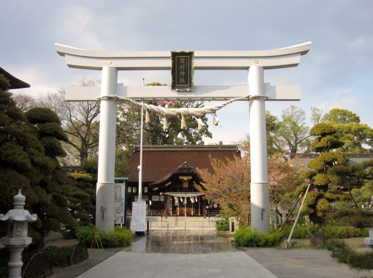
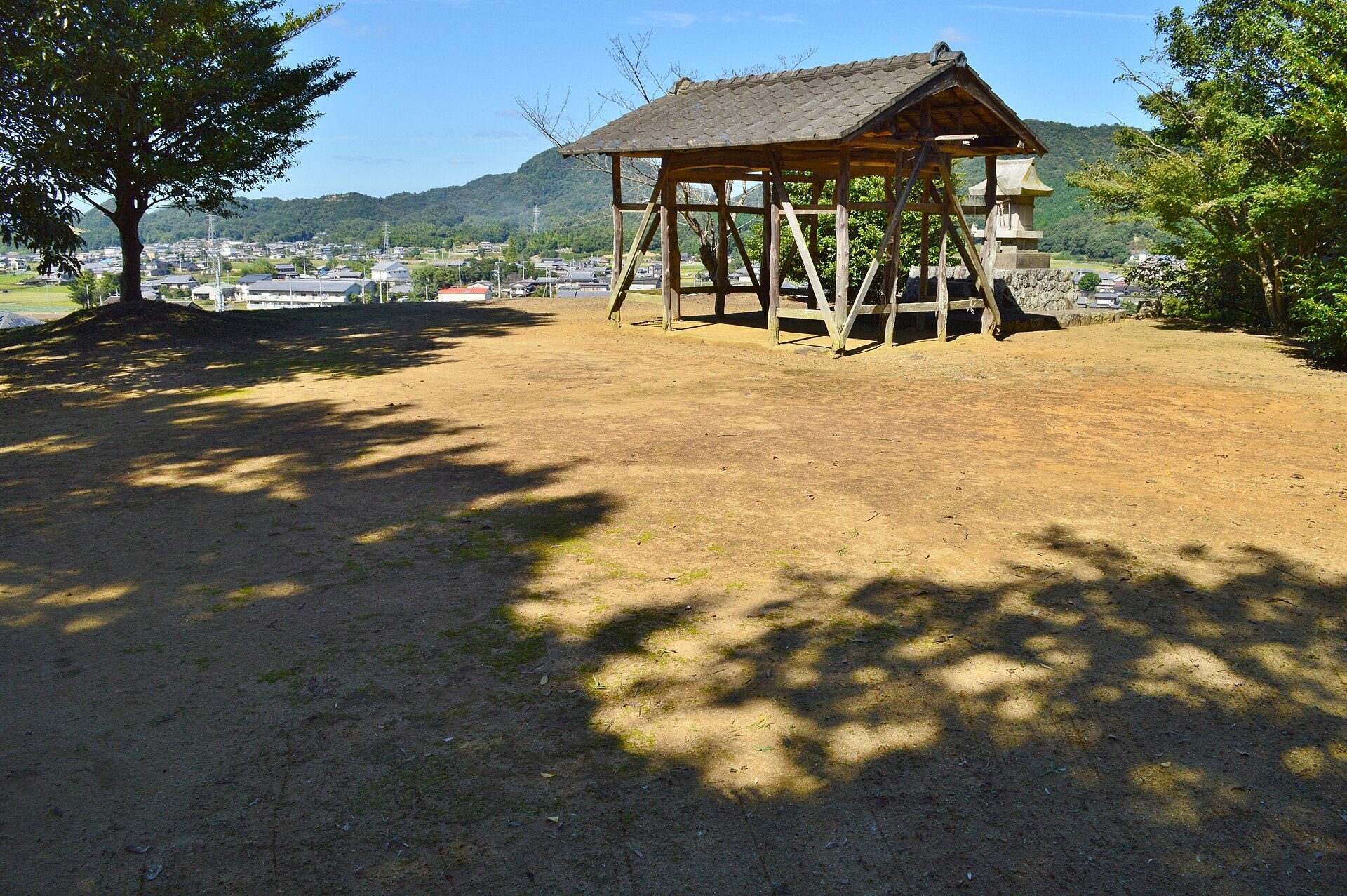
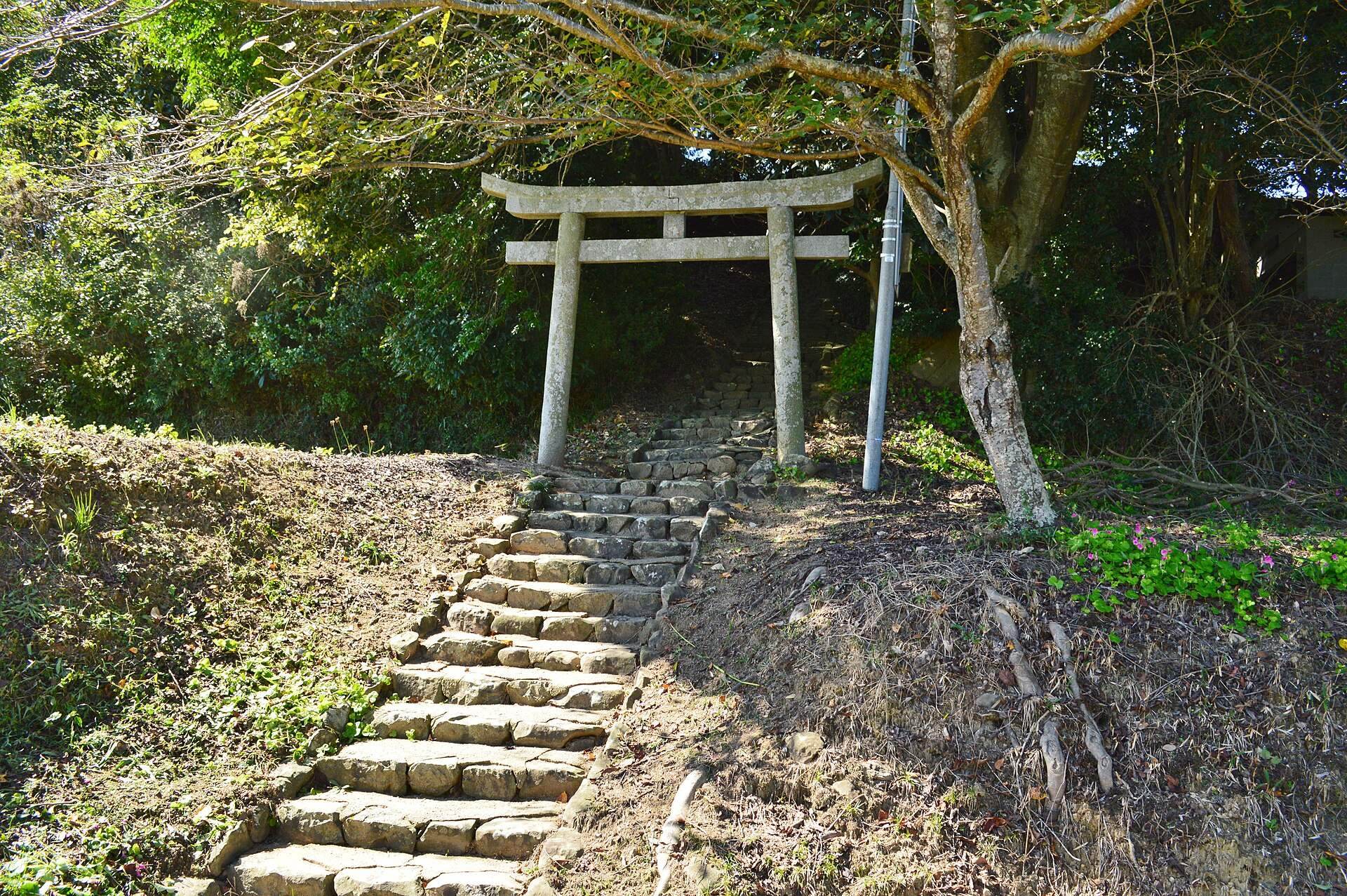
Parts of the mound were altered after its construction. Its northern section was cut away when Kagawa Prefectural Road 10 was built, while land clearance and housing construction changed other portions. Most of the mound remains in generally good condition. A Shinto shrine stands on its summit, and the stone image of Maitreya is enshrined on the eastern side of the circular rear section.