Shigaraki Palace Sites: An Eighth-Century Palace and Temple Project
Site at a Glance
- Popularity
- Medium
- Country
- Japan
- Primary era
- Medieval
- Eras represented
- Medieval
- Civilizations
- Unclassified
- Site type
- Domestic
- Remains
- Palace
On this page16 sections
History
The palace and temple plan
The Shigaraki Palace Sites are the remains of an eighth-century palace precinct and a related temple project in Shigaraki, Japan. Emperor Shōmu established the palace in the basin between 742 and 745, during the Nara period, when he ruled Japan. A temple was planned at the same time as the central monastery in a network of Buddhist temples sponsored by the state in the provinces. This central institution was intended to serve a wider role than a local temple.
Archaeological evidence indicates that Shigaraki had a fully developed palace, rather than only the temporary detached residence suggested by written descriptions. The palace’s central precinct was once placed in the southern hill area, where temple remains were later recognized. It is now generally identified with the northern basin. The southern remains may belong either to the temple planned alongside the palace or to a provincial monastery established after that plan changed. Their precise identity remains unsettled.
Changing identifications
A local geographical work from 1689 describes the southern hill area. A 1734 gazetteer describes that area as well as the zone between the hill and basin. Historian Katsumi Kuroita surveyed the southern hill in 1923. The area received provisional national designation in 1924 and became a National Historic Site in 1926.
In 1930, Kazuo Higo and other researchers identified the southern hill remains as a temple rather than a palace. This interpretation helped distinguish the temple area from the palace precinct, now located farther north in the basin.
Archaeology and protection
Three pillar roots from the northern basin area came to light during land improvement in 1975, and excavations there began in 1983. Investigations in 2000 confirmed a large building in the basin, strengthening the identification of the palace precinct, and found road remains in the intervening area. Surveys in 2001–02 identified a casting complex and a well in other parts of the site.
The National Historic Site was expanded to include the northern basin area in 2005, then the intermediate road, foundry, and western well areas in 2010. Further land in the intermediate area was added in 2015 and 2022. In 2005, a continuation of the road was identified at a nearby hilltop archaeological site; a large building footprint was found there in 2017.
Remains
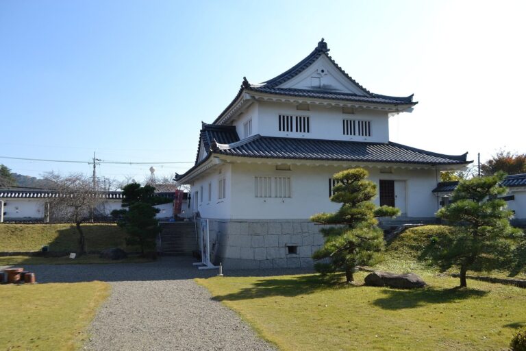
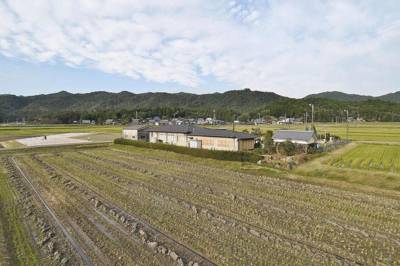
The site occupies a small basin enclosed by mountains at Shigaraki in southern Shiga, near the upper reaches of a river. Its five component areas comprise the northern basin palace precinct, the southern hill temple, an intermediate road zone, a foundry, and a western well area. Remains survive in different forms: structures in the northern basin and foundry are preserved underground, while many temple foundation stones remain exposed at ground level.
Northern basin palace precinct
Palace buildings
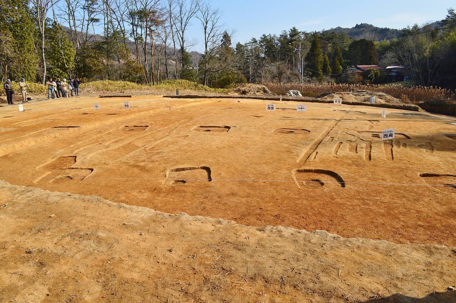
On flat ground in the basin’s northern half, a principal building was flanked by east and west side halls in a U-shaped arrangement. Two large buildings to the north may have formed part of the ruler’s residential precinct. Numerous other building remains have also been identified, although the structures are preserved underground.
Writing and other finds
Finds from the northern basin include wooden tablets, used for records and labels, and pottery bearing ink writing. A tablet and an inscribed pottery vessel carry the same poem, which also appears in the Man’yōshū, an early Japanese poetry anthology. The tablet provides evidence that the poem circulated during the period.
Southern hill temple
Main buildings and pagoda
The temple’s central sequence runs north to south from a middle gate through the main hall and lecture hall to the monks’ quarters. A separate pagoda compound stands to the east. The arrangement has a main line of temple buildings alongside a distinct pagoda area.
Other temple structures
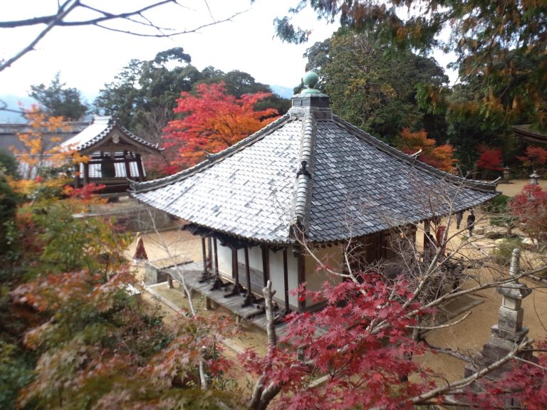
Other identified remains include a storehouse for Buddhist scriptures, a bell tower, a smaller set of monks’ quarters, and a dining hall. Most of the temple’s foundation stones remain visible at ground level.
Intermediate roads and stream crossing
Roads between the palace and temple areas
Two roads in the intermediate area, about 12 and 18 metres wide, have drainage ditches and follow the alignment of the temple’s central axis. They are interpreted as the Suzaku Road, a name for the principal formal route in an ancient Japanese palace or capital plan. Road remains also occur on a hilltop, while a cut-through-shaped landform north of a modern expressway is considered a possible road trace.
Bridge and nearby structures
One road crossed a stream about five metres wide, where bridge piers were found. The piers used Japanese cypress logs whose growth rings show that the timber was felled in 744; this dates the wood, not necessarily the bridge’s construction. East of the road, upright posts set directly into the ground supported structures thought to have served administrative purposes. Finds there include pottery, reused inkstones for grinding ink, and pottery bearing ink writing. A wooden tablet used as a shipping label and dated to 744 came from the stream.
Foundry
Northeast of the temple area, a large casting complex was associated with temple construction. Its development proceeded in three stages. First stood a large building supported by upright posts set directly into the ground. Later installations included equipment for casting medium-sized copper objects, such as air-supply equipment, a melting furnace, and casting features. The final stage involved facilities for casting copper parts for a pedestal and temple bells. One large bell is estimated to have been about 1.7 metres in diameter. The foundry remains are preserved underground.
Western well
The western area contains a square well measuring 1.8 metres on each side, positioned at the centre of a roofed structure. Iron nails secured its wooden frame. Tree-ring analysis dates the Japanese cypress used for the frame to timber felled in 743; that date does not necessarily establish when the well structure was built.