Schwedenschanze, Nisselsbach: An Earthwork Fortification of Uncertain Date
Site at a Glance
- Popularity
- Very Low
- Country
- Germany
- Primary era
- Medieval
- Eras represented
- Medieval
- Civilizations
- Unclassified
- Site type
- Military
- Remains
- Fort
On this page6 sections
History
Possible Early Medieval Origins
Schwedenschanze, Nisselsbach is an earthwork fortification near Aichach, Germany. It may date to the early Middle Ages and could have formed part of regional defenses against Magyar incursions. The Magyars were a Hungarian people who raided Central Europe during this period.
Its secluded position away from Ecknach, a settlement probably established in the seventh or eighth century, and the fortification’s form have led to proposals that it served as a temporary refuge or was left unfinished. Another interpretation is that it was a tenth-century gathering place for troops. Work may have stopped after the Battle of Lechfeld in 955, when a major defeat checked Magyar raids in the region. The site has received little study, and its date and proposed functions remain uncertain pending archaeological investigation.
Later Traditions
Local tradition attributes the burning of two chapels in the municipality to Magyar forces. The popular name Schwedenschanze, meaning “Swedish entrenchment,” may reflect reuse during the Thirty Years’ War, a European conflict fought from 1618 to 1648. The fortification may then have sheltered livestock or people from marauding troops, although later generations may instead have mistakenly connected it with the war.
Remains
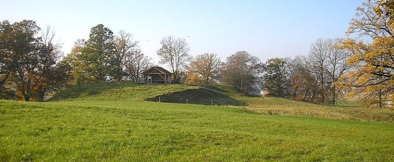
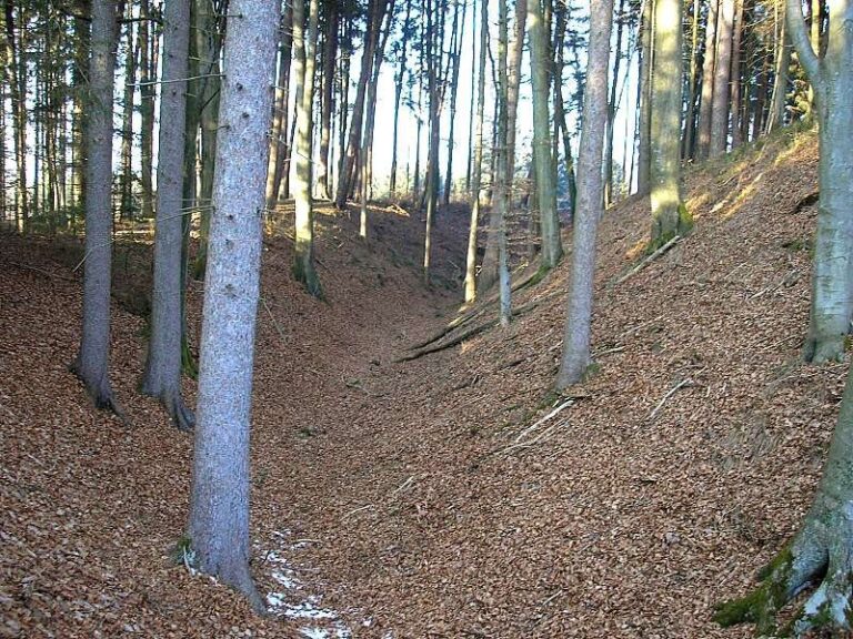
The earthworks occupy a rise at the edge of Blumenthaler Holz, about 300 metres southeast of Nisselsbach. A core fortification sits on a spur projecting west, while extensive outer defenses cross the approach and curve toward the hill’s foot. A deep cut in the terrain, 10 to 15 metres deep, separates the core from the outer works.
Core Fortification
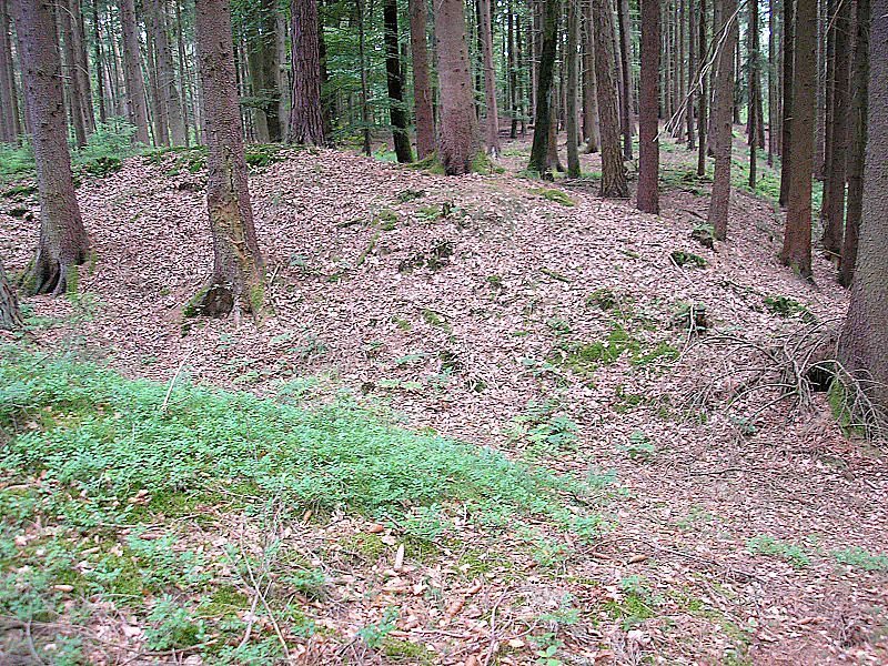
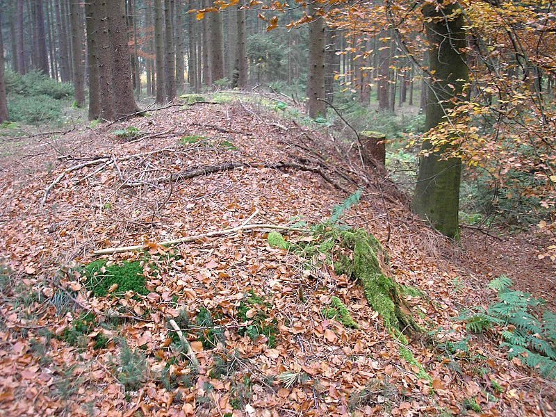
Two short ditches in the southeast descend toward the valley floor, with banks behind them rising no more than 1.5 metres. The southern ditch continues across the plateau as a front bank. Its ditch reaches about two metres deep in places, and the bank stands roughly one metre above the interior. An unusually kinked section in the southeast encloses a small rectangular plateau whose purpose is uncertain. On the north and west, a buried slope ditch or level ledge lies about two metres below the plateau and joins the natural slope before the southwestern edge. The earthwork line can be traced along these sides; the southern slope appears largely intact, where palisades or wattle fencing may instead have formed a defense.
Outer Defenses
A long bank crosses the northern and eastern foreland, while the outer rampart-and-ditch system begins on the eastern plateau in front of the spur and curves west toward the hill’s foot. It is especially well preserved on the east. There, the bank rises as much as 2.5 metres from the bottom of its ditch and about 1.5 metres above the surrounding ground. After roughly 200 metres, the earthworks flatten and fade near a stream. These defenses enclose the valley in front of the core and provide room for the temporary accommodation of a larger body of troops.