Burgstall Burgadelzhausen: A Presumed Early Medieval Rampart Fort in Bavaria
Site at a Glance
- Popularity
- Very Low
- Country
- Germany
- Primary era
- Medieval
- Eras represented
- Medieval
- Civilizations
- Duchy of Bavaria, Holy Roman Empire
- Site type
- Military
- Remains
- Castle
On this page6 sections
History
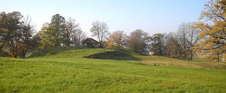
Burgstall Burgadelzhausen is a ruined spur castle on a hill overlooking Burgadelzhausen, in Bavaria, Germany. It is usually dated to around AD 1000 and interpreted as a fort from the Hungarian era, the period of Hungarian incursions into Central Europe after AD 900. This identification is tentative and rests chiefly on the site’s form.
Ground finds suggest that people may have used the area as early as the Bronze Age. This possible earlier activity does not establish when the fortification itself was built.
The rampart fort may have been abandoned after the Hungarians’ defeat at the Battle of Lechfeld in 955, a major defeat of Hungarian forces, but the proposed date of abandonment is uncertain. The Hungarian-period interpretation is also not the only explanation for regional forts: noble feuds and contests for power in the East Frankish Kingdom, the eastern realm that emerged from the division of the Carolingian Empire, may have prompted some of their construction.
Tenth-century chronicler Widukind of Corvey described small ramparts east of the Lech where fleeing Hungarians were supposedly killed after the battle. His account is generally considered unreliable, although early medieval remains in the Lechrain and its hinterland support his description of the battle’s course.
Remains
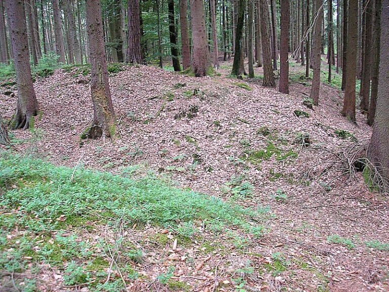
The fort is a medium-sized earthwork on a hill spur about 500 metres above sea level. Its oval main enclosure occupies a plateau, with a semicircular outer bailey on the west. Ramparts and ditches define the site’s defensive layout.
Earthwork fortifications
Main enclosure
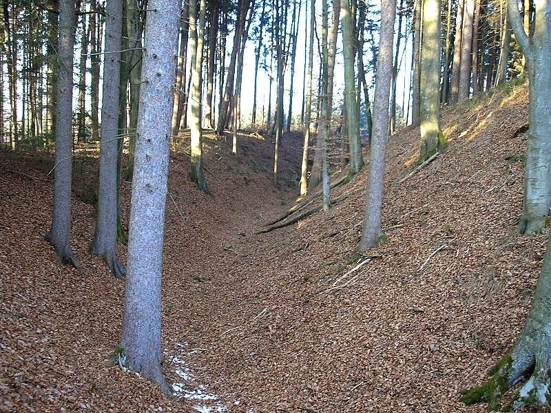
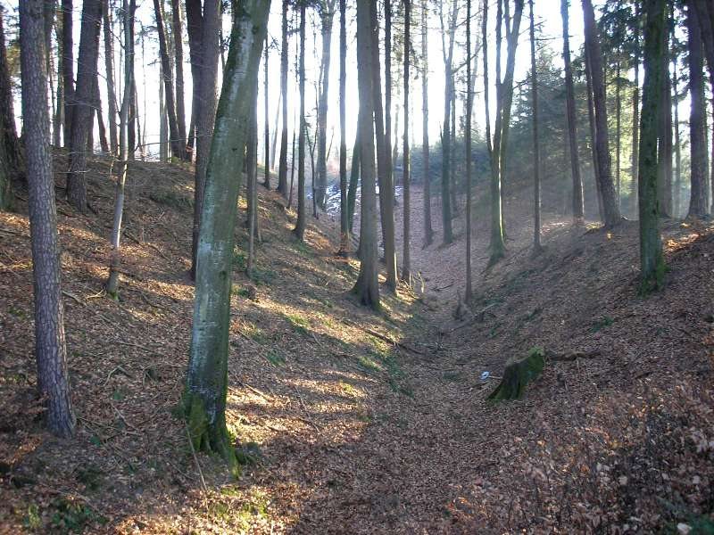
The main-castle plateau measures about 70 by 90 metres and is enclosed by a perimeter rampart that survives at varying heights. The ramparts reach about 6 to 8 metres, while the ditches in front of them are locally 4 to 5 metres deep. On the steep northern side, a shallow ditch or shelf provides an additional defensive feature.
Outer bailey and entrances
The semicircular outer bailey measures approximately 50 by 150 metres. Its rampart is about 4 to 5 metres high, and its ditches reach 3 to 4 metres in depth. A gap in the rampart marks the outer-bailey entrance. The main gate to the core castle lay about 100 metres farther south, and the outer bailey appears to have been arranged to protect that approach.
Eastern defences and plateau features
On the eastern side, a ditch and an outer rampart stand in front of the main rampart. This defensive system rises to about 15 metres. The steep rampart faces and deep ditches offered protection against mounted attackers approaching from the east. Both the main and outer-bailey earthworks were probably topped with palisades.
A rectangular depression on the east side of the main-castle plateau may mark the position of a building. Two access tracks on the north side are modern, and dense undergrowth now covers the earthworks.