Roman Theater Beit Ras (Capitolias): A Roman Performance Building in Jordan

Site at a Glance
- Rating
- 4
- Popularity
- Low
- Country
- Jordan
- Primary era
- Classical
- Eras represented
- Classical
- Civilizations
- Byzantine, Roman
- Site type
- City
On this page20 sections
History
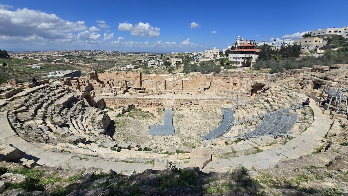
Roman Theater Beit Ras (Capitolias) is a Roman theater at Beit Ras in Jordan, built within the planned city of Capitolias around AD 97–98 during the reigns of the emperors Nerva or Trajan. The city belonged to Coele-Syria and later developed into an important Roman, Byzantine, and early Islamic center. Its theater remained in use for mass entertainment until as late as the sixth century.
Foundation and Roman administration
Capitolias was established as a planned Roman settlement east of the Jordan River, in the area of the modern village of Beit Ras in northern Jordan. The date comes from the beginning of the city’s coin era. Its foundation may have had a military purpose, and inscriptions show that citizens of the city served in the Roman army. Capitolias stood on the route between Gadara and Adraha, about 16 Roman miles from each according to ancient itineraries in different references, and about 36 miles from Neve in the Antonine Itinerary.
Ptolemy, a second-century Greco-Roman geographer and astronomer, included Capitolias among the cities of the Decapolis of Coele-Syria. The Decapolis was a group of Greco-Roman cities in the southern Levant, although its membership varied between ancient lists. Capitolias may have been connected with the earlier city of Raphana, perhaps as a refoundation under a new name, but this interpretation remains unproven and no earlier settlement has been demonstrated at Beit Ras.
The city’s name is generally linked with Jupiter Capitolinus, the Roman state god associated with the Capitoline Hill in Rome. Another interpretation derives it from a local place-name meaning “settlement on the hilltop.” Coins minted at Capitolias between approximately AD 165–166 and 218–219 describe the city as autonomos, or self-governing, asylos, meaning under divine protection, and hieros, meaning sacred.
Provincial change and Christian institutions
After Trajan annexed the Nabataean Kingdom and created the province of Arabia Petraea, Capitolias remained in the province of Syria, near the new provincial boundary. Arbela, the city identified with modern Irbid, lay about 5 kilometers away within Arabia Petraea. In AD 194, during the reorganization carried out under Septimius Severus, the southern part of Syria became Syria-Palaestina. During Diocletian’s reforms in the 290s, Capitolias was incorporated into Palaestina Secunda, a late Roman province whose capital was Scythopolis.
Christianity established a bishopric at Capitolias. Bishop Antiochus attended the Council of Nicaea in AD 325, while Anianus or Ananias attended the Council of Chalcedon in AD 451. Bassus is recorded in 518, and two bishops named Theodosius are recorded in 536 and 600. Peter, who was martyred under Muslim rule, is identified by some writers as a bishop of Capitolias and by others as a priest. The see became an independent archbishopric in the twelfth century. It is no longer a residential bishopric and survives in the Catholic Church as a titular see, an ecclesiastical title retained after the original diocese ceased to function.
Early Islamic, medieval, and Ottoman Beit Ras
Capitolias retained importance during the early Islamic period, especially under the Umayyads, and sixth-century geographical writers continued to mention it. The name Beit Ras, first recorded in the sixth century as Beit ar-Ras, preserves an Aramaic place-name also rendered as Bet Reisha. After the Arab conquest, the settlement remained an important center for several centuries. The geographer Ibn Khordadbeh described it as a city.
Beit Ras had become a village by the period of the Crusades. It remained under the Kingdom of Jerusalem until 1187 and was listed by the Crusaders as a casalia, a small fiscal unit. The monastery on Mount Tabor held rights to revenue from the settlement. Viticulture and wine production formed part of its reputation in the early Islamic and medieval periods. The seventh-century poet Hassan ibn Thabit associated its wine with transport by Bedouins to Arabia and its reputation in Medina, while the medieval geographer Yaqut al-Hamawi described abundant vines and celebrated wine.
In the 1596 Ottoman tax register, Bayt Ras belonged to the nahiya of Bani Juhma in the Hauran Sanjak. An Ottoman nahiya was a subdistrict, while a sanjak was a larger administrative district. The register counted 30 households and 10 unmarried men, all recorded as Muslim, and assessed 11,100 akce in taxes on agricultural products, goats, beehives, and occasional revenues.
Archaeological investigation
Excavation began at the site in the 1960s, followed by systematic archaeological work from the early 1980s onward. A project conducted from 2014 to 2016 by Jordan’s Department of Antiquities, the Polish Centre of Mediterranean Archaeology, and the University of Warsaw’s Institute of Archaeology used geophysical survey in 2014 and excavation in 2015–2016. The modern village restricted the investigation, so work concentrated on the undeveloped northern part of the ancient city west of the theater.
The excavated area was occupied from the second to the thirteenth century, revealing a sequence from the Roman period through the early medieval period. Investigations identified defense walls, a winery, workshops, and evidence that Capitolias was a center of secondary glass production during the late Roman and early Byzantine periods. In 2018, archaeologists excavated a second-century tomb whose painted program includes human, animal, and divine figures and a large scene showing the construction of a city rampart. Around 60 inscriptions explain the actions of the figures, and the complete composition is thought to represent the founding of Capitolias.
Remains
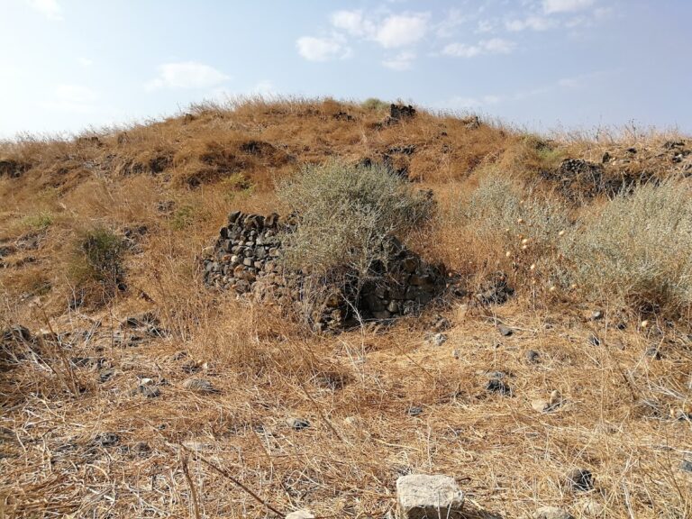
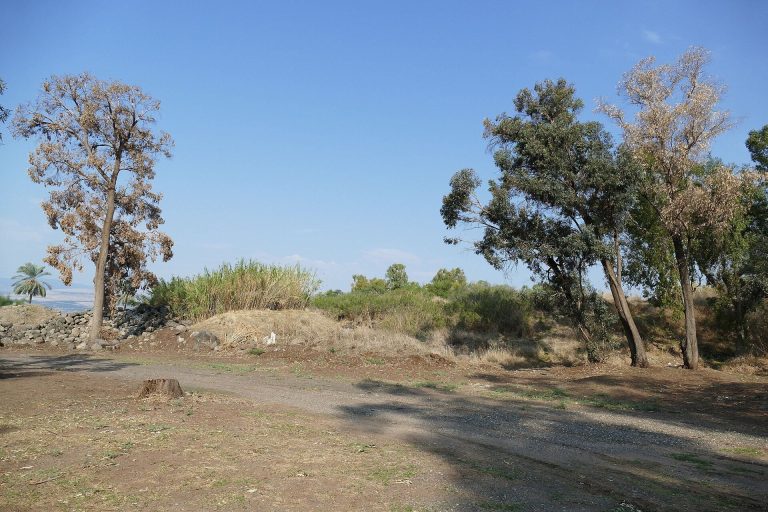
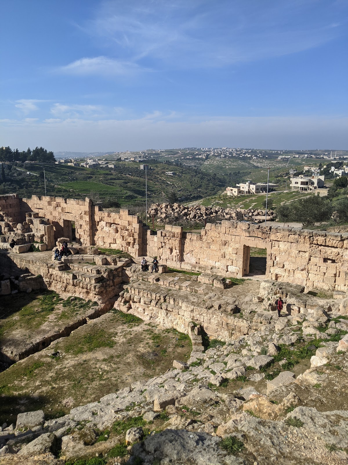
The ancient city occupied a hill and was enclosed by a wall built in the second century. Its area is variously estimated at approximately 12.5 hectares or 20 acres. The principal surviving monument is the Roman-style theater on the northern slope, near the former main east-west street. Other remains include public roads, a marketplace, a temple, water-storage installations, a military cemetery, a church later converted into a mosque, workshops, a winery, and buried urban structures detected by geophysical survey.
City wall and principal street
Defensive enclosure and gates
The second-century city wall can still be traced in places, and three gates facing north remain visible on the surface. Excavation in the northern part of the settlement exposed sections of the defenses and helped establish the occupation sequence of the area from the Roman period into the early medieval period.
East-west street and arch
The former decumanus maximus, the principal east-west street of a Roman town or military settlement, lies beneath the main east-west street of modern Beit Ras. The ancient structures do not survive above ground, but Gottlieb Schumacher observed a paved street in the 1880s and noted column bases showing that colonnades once lined it. He also recorded an arch with two passages approximately 50 meters west of the mosque.
Theater and civic buildings
Roman theater
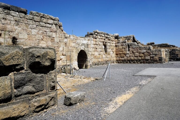
The theater stands on the northern slope of the hill near the former decumanus maximus. It has been substantially excavated, including the clearing of the stage remains. Its Roman-style construction and continued use for mass entertainment into the sixth century reflect the public role of performance within the city.
Marketplace and temple
Recorded civic remains include a three-level marketplace, a colonnaded street, and paved roads. Coin imagery indicates a temple of the Capitoline Triad, which normally honored Jupiter, Juno, and Minerva. The main temple is thought to have been dedicated to Jupiter Capitolinus and may have stood near the western end of the decumanus maximus, although its precise location remains uncertain.
Water-storage installations
Cisterns, reservoirs, and other water-storage installations formed part of the city’s water system. The settlement had no known springs, so winter rainfall was stored in the city and in reservoirs farther west. An aqueduct is associated with Capitolias, but no aqueduct traces have been identified in the area. Periods of three or four winters with little precipitation could create serious difficulties for the water supply.
Religious and funerary remains
Church and later mosque
A church built in the fifth century was later converted into a mosque in the eighth century. The change preserves evidence of the settlement’s religious transformation during the transition from the Byzantine to the early Islamic period.
Painted family tomb
A second-century family tomb contains tombstones bearing Latin names and a large painted scene executed in a strongly Greek artistic style. The painting shows Achilles dragging the body of Hector from the Trojan War, combining a Roman-period funerary setting with imagery drawn from Greek myth.
Tomb with a city-founding scene
The second-century tomb excavated in 2018 contains wall paintings of people, animals, and gods. Its largest composition shows figures constructing a rampart, while approximately 60 inscriptions written in Aramaic with Greek letters identify or explain their actions. The captions resemble speech bubbles and contribute to the interpretation of the scene as an account of the city’s foundation.
Production areas and buried structures
Winery and workshops
Excavation west of the theater exposed parts of a winery and workshops. These remains belong to an area occupied from the second to the thirteenth century and provide physical evidence for production activities within the ancient settlement.
Secondary glass production
Large quantities of glass fragments dating from the third to fifth centuries show that Capitolias carried out secondary glass production. In this process, large pieces of primary glass made in the Levantine coastal region were brought to the city and reshaped or manufactured into other products. The fragments place this activity in the late Roman and early Byzantine phases of the settlement.
Electrical-resistivity scanning west of the theater detected further buried remnants of urban architecture. The technique measures physical differences in the ground to locate structures before excavation, extending the known archaeological layout beyond the areas that could be opened within the modern village.