Burriac Iberian Settlement: Capital of the Laietani
Site at a Glance
- Popularity
- Very Low
- Country
- Spain
- Primary era
- Classical
- Eras represented
- Iron Age, Classical
- Civilizations
- Iberian
- Site type
- City
On this page11 sections
History
Early occupation and growth
The Burriac Iberian Settlement, in Cabrera de Mar, Spain, was occupied by Iberian communities from the sixth to the first century BC. Two huts and associated finds point to earlier activity in the seventh to sixth centuries BC. Burriac became the capital of the Laietani, an Iberian people of the northeastern peninsula, and the largest of more than 45 known Iberian settlements in the Catalan area. Smaller nearby settlements may have served as lookout and defensive outposts.
Population and decline
The settlement’s population reached its peak in the second century BC, during the Late Iberian period. It then declined, and by around 50–40 BC only a small community remained.
Rediscovery and excavation
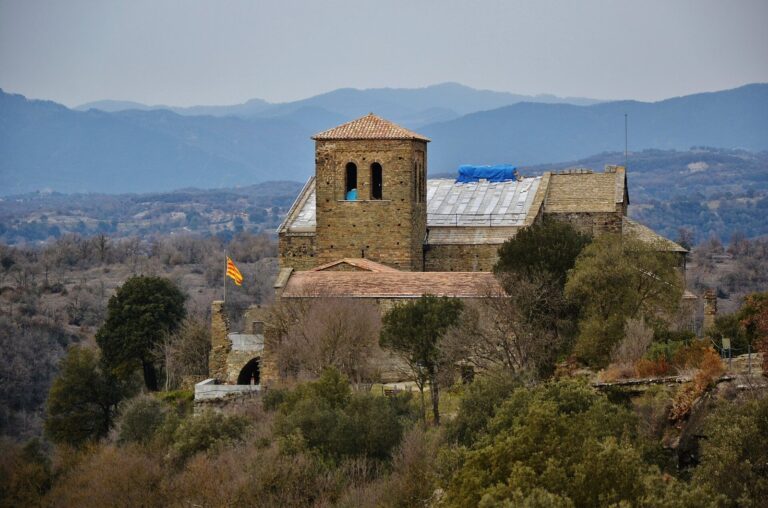
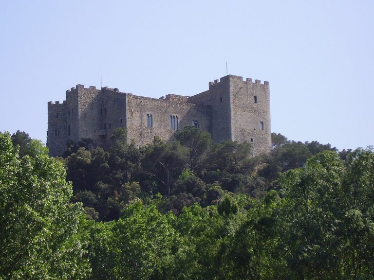
A necropolis found in the area by the late nineteenth century had led people to suspect that a settlement lay nearby. The architect Lluís Bonet i Garí discovered the settlement in 1915. Burriac Castle appears to have been built with stone taken from the settlement, destroying a large part of it. Excavations between 1924 and 1993 revealed sections of the site. Archaeological work at the southern gate in 2011 included a reconstruction or simulation for a television program. Later neglect left some excavated areas partly obscured and damaged.
Remains
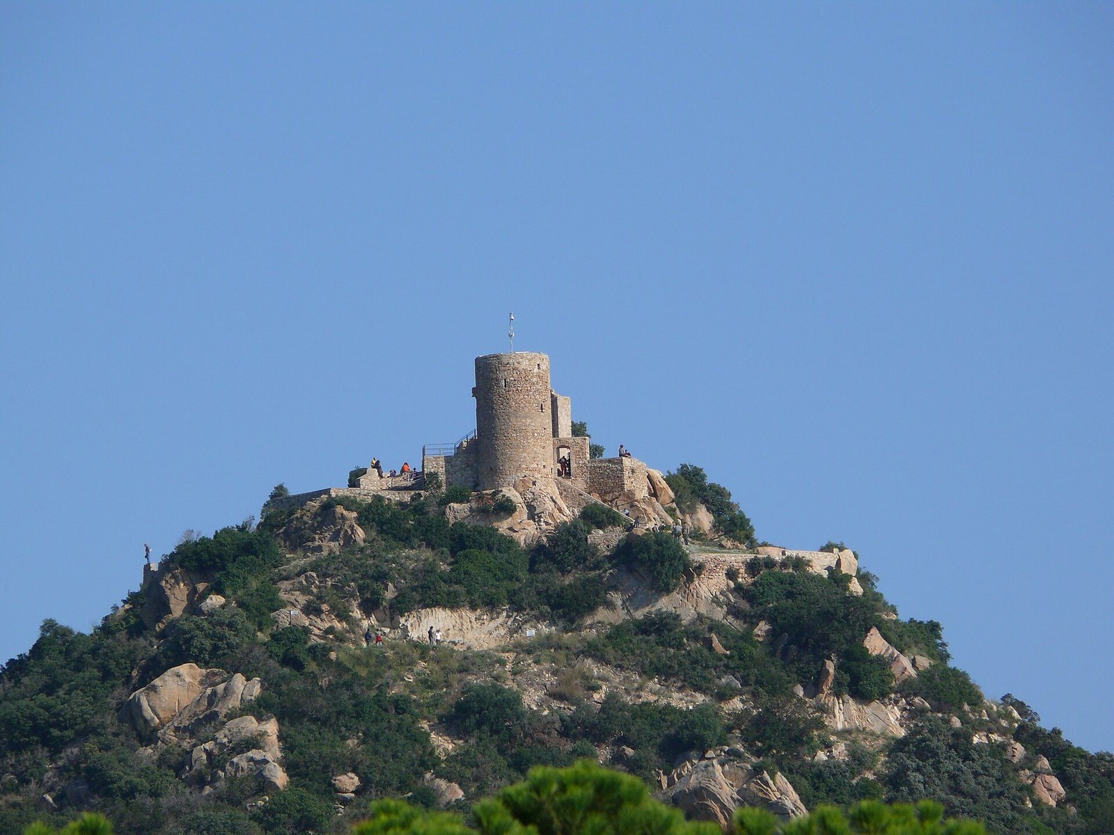
The settlement covered about two hectares on the southern slope of Burriac Mountain, south of Burriac Hill, between the castle and the outermost houses of Cabrera de Mar. It lies within Parc de la Serralada Litoral. Its remains include an enclosing wall and towers, houses, storage areas, and pottery fragments.
Enclosure and towers
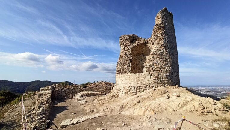
During the Middle Iberian period, in the fourth to third centuries BC, a wall enclosed the settlement. It was generally about 1.40 metres thick, widening to between 2.15 and 2.50 metres between the second and fourth towers. A stretch about six metres long remains visible by the gate. A gate-tower was wide enough for carts, and its hinge sockets have been found. Several towers stood along the boundary, with differing plans. The western tower is the best preserved and most extensively studied.
Buildings and storage
Central houses
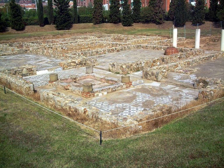
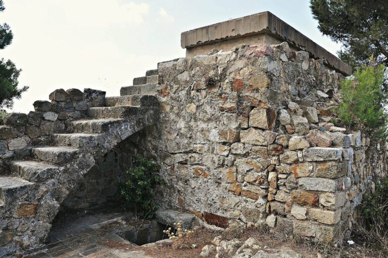
In the central area, chambers occupied by several families belong to the settlement’s final phase. Fragments of Campanian pottery, an Italian import, date their walls to the second to first centuries BC; a street ran above them. Two high walls survive in rooms on lower ground, indicating that some houses had stone walls reaching to the roof. On higher ground, a farmer later completed some walls. A partly restored house is also among the remains.
Building on the eastern wall
A larger, carefully built structure with two column bases was attached to the eastern wall. It has been tentatively interpreted as either a temple or a leader’s residence.
Caves and storage features
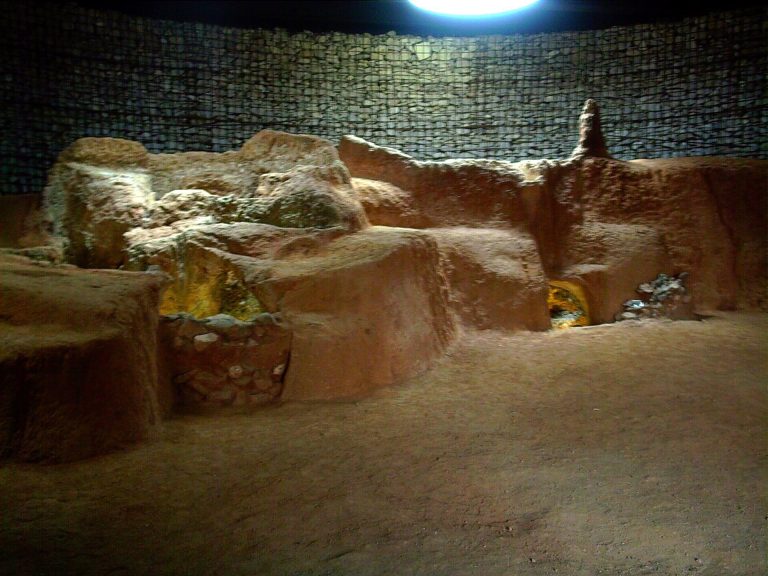
A well-preserved cave between two houses was probably used as a storeroom; a second cave is also identified. Other remains include rooms used for storing large jars and silos.
Pottery and coins
Ceramic fragments occur along the paths. Thick pieces are mainly from construction pottery, especially roof tiles, while thinner ones come from amphorae and other kitchen vessels. Iberian pottery appears alongside Roman pottery, generally of Italian origin. Roman fragments tend to be somewhat thicker; some have black glaze, and amphora fragments may contain clay with black flecks. Iberian pottery can leave a mark on the fingers when rubbed, and some pieces are grey from smoke during firing. Coins from the settlement bear an Iberian word transcribed as either Ilduro or Ilturo, both forms used to identify the settlement.