Burgstall Spies: Site of a High-Medieval Noble Castle
Site at a Glance
- Popularity
- Low
- Country
- Germany
- Primary era
- Medieval
- Eras represented
- Medieval
- Civilizations
- Holy Roman Empire
- Site type
- Military
- Remains
- Castle
On this page10 sections
History
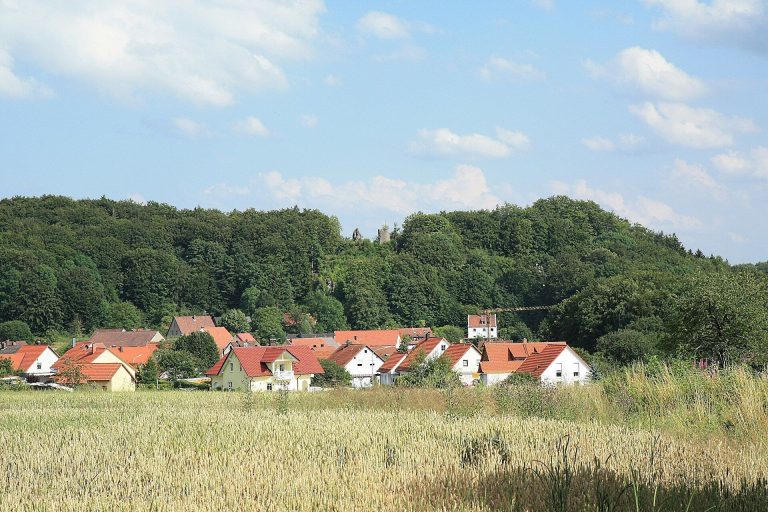
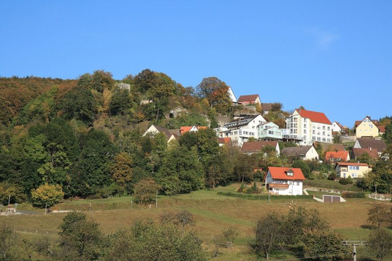
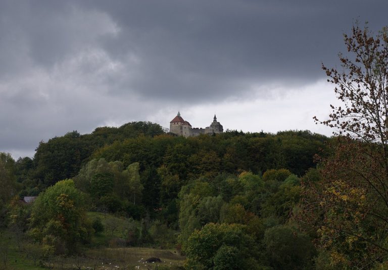
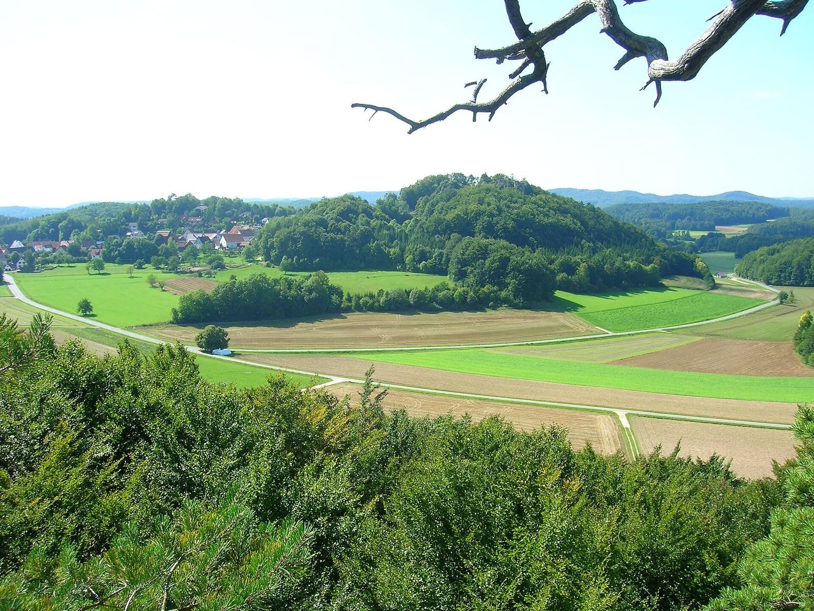
Burgstall Spies is the site of a high-medieval noble castle on Spieser Schlossberg beside the village of Spies in Germany. The castle existed before 1187 and later became involved in conflicts between Nuremberg and regional lords.
Early castle and the Lords of Spies
The name Spies first appears in a record from 1187, but the castle was already there before that date. It is not known whether the Lords of Spies built it. Heinrich Spies appears in 1189 as a ministerial, a member of a ruler’s service elite who often held knightly status. He served the dukes of Andechs-Merania, a powerful medieval dynasty.
Ulrich I Spies was probably among the close followers of Otto, the dynasty’s last duke. Ulrich witnessed documents in 1245 and 1248, then acted as an arbitrator in the succession dispute that followed in 1254.
Nuremberg conflict and the siege of 1397
The Lords of Spies sold the castle, which they owned outright, before 1346. That year it belonged to Hartmann von Waizmannsdorf, who gave the imperial city of Nuremberg the right to enter it for four years. After 1350, Heinrich von Berg acquired the castle and, in 1354, made it a fief held under the Crown of Bohemia’s authority. His sons Eberhard and Heinrich fought Nuremberg for years in the late fourteenth century and became known as robber knights.
Nuremberg persuaded King Wenceslaus, ruler of Bohemia and King of the Romans, to destroy Spies and other castles. The Berg brothers sold a third of Spies to Johann III, Nuremberg’s burgrave, an official with military and administrative duties, in hopes of saving the stronghold. Wenceslaus besieged it on 23 September 1397. After seven days, his forces captured the castle on the eighth. Twenty-two of the 24 defenders escaped down the cliffs on ropes. Hans von Aufseß and Georg von Wichsenstein, who served the Berg brothers, were taken prisoner. Hans was soon freed; Georg was executed in Nuremberg.
On 13 October 1397, Heinrich and Eberhard swore an oath renouncing retaliation, a settlement intended to prevent renewed feud. Wenceslaus then forbade the castle’s reconstruction. In 1404 Heinrich sold the site to Nuremberg citizen Heinrich Harsdorfer, except for the third owned by Johann III.
Rebuilding and final destruction
In 1421 Johann III granted his share as a fief to Konrad von Aufseß. Konrad rebuilt the castle despite the royal ban, completing the work by 1426. King Sigismund then imposed an imperial ban, a formal penalty that could bring outlawry and the loss of legal protection. Konrad sold the castle to Margrave Friedrich, a ruler of a border territory, in 1427. In 1431 Friedrich pledged it to Kunz Stör of Neuhaus as security for an obligation.
Spies became a margravial administrative district. Fritz Stör served as castle administrator in 1469, and his son Kunz held the position in 1482. The noble family of Spies died out around 1475. Lightning set the castle ablaze in 1482, after which it was rebuilt. In 1491, Margrave Friedrich took it following a brief fight, after members of the Stör family committed crimes. Thomas von Kühedorf was named administrator the following year.
Nuremberg forces stormed and plundered the castle on 26 May 1553 during the Second Margrave War, a mid-sixteenth-century conflict involving the margraves of Brandenburg-Kulmbach and their opponents. The attack permanently destroyed the castle. It was described as an old ruin in 1562 and as a heap of stones in 1618.
Remains
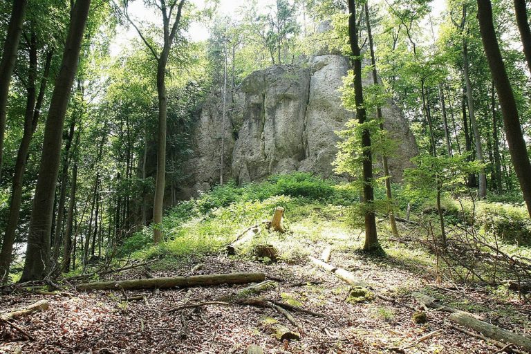
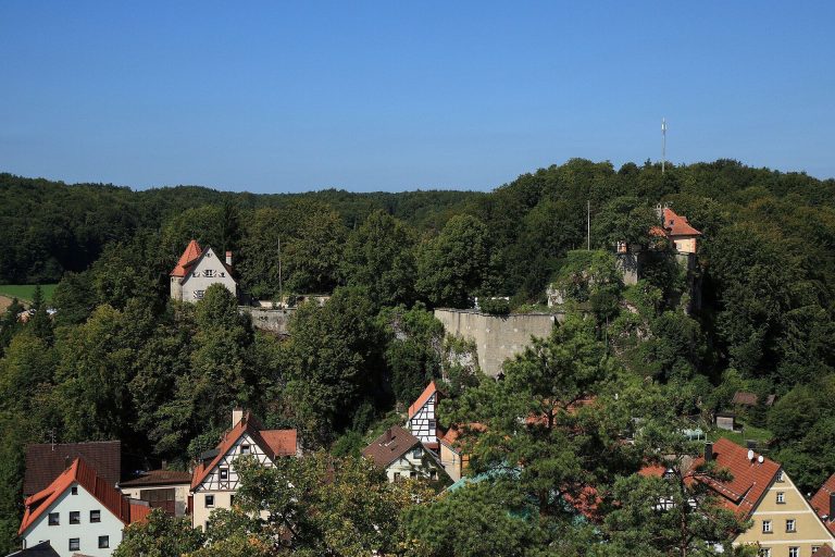
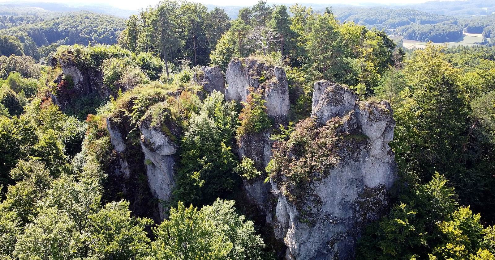
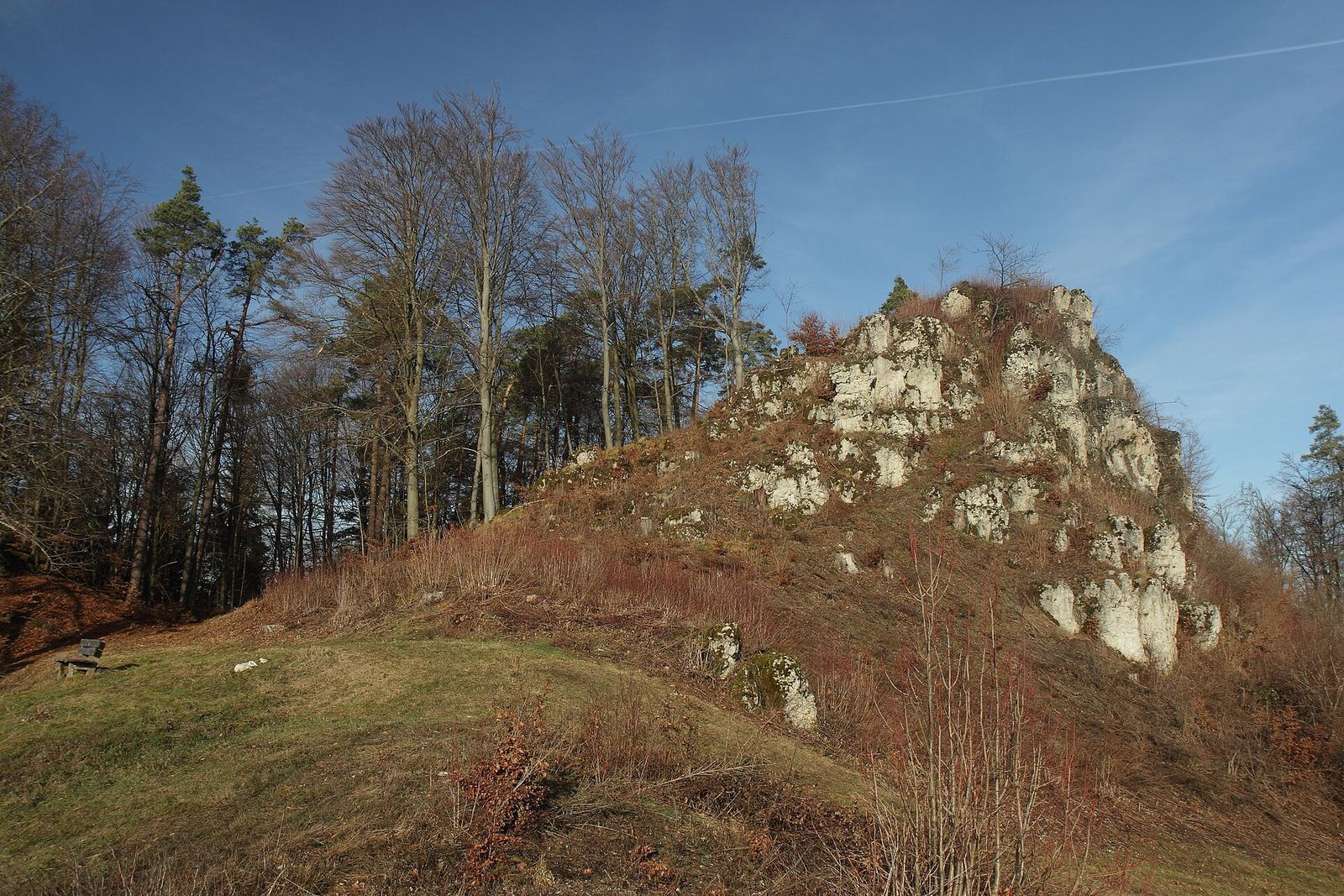
The castle occupied the summit of an isolated, conical ridge in the northern Franconian Alb, 616.4 metres above sea level. The summit stands about 50 metres above Spies and roughly five kilometres south of Betzenstein. The rocky ridge runs about 120 metres from south to north and is 10 to 15 metres wide. The ground falls steeply to the north and east, by about 10 metres, and to the west, by about 7 metres; the southern approach rises more gently from the village. The complex comprised an upper castle on the ridge, a lower castle to its west, and an outer courtyard south of the lower castle.
Castle layout and approach
Southern approach
A defensive ditch crossed the more accessible southern side. Its surviving section runs about 15 metres from east to west, measures around five metres wide, and is about one metre deep. The eastern end meets the ridge; the western end reaches a large rock that was probably part of the defenses. Near this rock, the ditch and raised earth bank have been levelled, at a place where a gatehouse probably stood. Beyond the ditch, a path runs north through the gently rising outer courtyard. A rectangular hollow west of the path may mark the site of a building.
Lower castle
The lower castle stood about five metres above the outer courtyard on a triangular terrace roughly 30 by 20 metres. At its northern end, a water cistern measures 0.70 metres across and 1.50 metres deep and remains filled with water. Near the entrance, an earth bank survives from a collapsed enclosing wall. An indentation on the ridge’s eastern side contains several small caves, and a building probably stood there.
Upper castle
The route from the lower to the upper castle is uncertain. Today, steep steps ascend from the southern part of the lower castle. The upper stronghold probably consisted of two large buildings on the rocks. Visible remains include part of a stairway leading to the southern rock mass and a section of masonry.
Surviving evidence
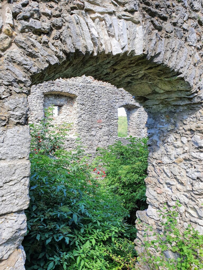
Only sparse masonry remains. The castle stones were probably taken by villagers for house-building, with the levelled ditch and bank cited as evidence of removal. At the foot of the northernmost rock outcrop, outside the castle enclosure, a small cave known as the Fox Hole may have served as a cellar, though this use is uncertain. Trees now cover the former castle site, while the summit rocks remain clear of vegetation. A carefully scaled topographic map made by Johann Christoph Stierlein in 1792 depicts the outer courtyard, ditch, bank, and several wall sections in the main castle area. It also marks a spot where Stierlein proposed that the principal building had stood.