Monte Sannace Archaeological Park: A Peucetian Settlement in Apulia
Site at a Glance
- Popularity
- Medium
- Country
- Italy
- Primary era
- Classical
- Eras represented
- Iron Age, Classical, Medieval
- Civilizations
- Norman
- Site type
- City
On this page10 sections
History
Early settlement
Monte Sannace Archaeological Park, about five kilometres from Gioia del Colle in Italy, preserves a settlement of the Peucetians, an ancient people of Apulia, with remains dating to at least the 10th century BCE. Human activity on the hill reaches back to the Neolithic period, while a settled community took shape by the 9th century BCE.
In the 9th and 8th centuries BCE, people lived in huts on the hilltop and in small communities across the surrounding plain. The settlement’s ancient name is unknown. It has been tentatively identified as Thuriae, a place associated with modern Turi and mentioned by Livy, a Roman historian.
Growth into an urban centre
During the 7th and 6th centuries BCE, residents from the plain increasingly gathered on the hill. Santo Mola remained independent and was associated with the extraction of tufa, a porous stone used in construction. The hilltop settlement began to take on an urban character and was probably enclosed by an early defensive wall.
Public buildings for political and religious activities, alongside residential complexes, appeared during this period. Trade developed with Greek communities, particularly Corinth. The settlement formed two areas, an elevated centre known as the acropolis and a lower town. Contact with Greek culture encouraged Hellenization, the adoption or influence of Greek practices. By the 6th century BCE, wealth and control of the surrounding land were increasingly held by a small number of aristocratic families.
Growth continued into the 5th century BCE, when inland communities in Apulia struggled to preserve their independence from Tarentum, a Greek colony in southern Italy. Artistic activity at Monte Sannace declined, pottery finds became less frequent, and imports from Greece fell sharply.
Hellenistic prosperity and Roman-era decline
The city recovered in the second half of the 4th century BCE and reached its greatest prosperity in the 3rd century BCE. Its inhabited area spread into pasture enclosed by defensive walls and beyond them. Finds point to stronger Greek cultural influence, including the use of both Greek and local languages among aristocratic groups.
During the Punic Wars, a series of conflicts between Rome and Carthage in the 3rd century BCE, additional defensive walls enclosed the city and nearby pastureland. Their rough construction suggests an urgent response to danger rather than planned urban growth. Monte Sannace was probably destroyed around the 3rd century BCE, at the height of its development. The violent end may have been connected to Roman punishment of communities that had supported Carthage, even indirectly. Monte Sannace appears to have stayed neutral, but that position may have conflicted with the Roman Republic’s ambitions to dominate the region.
The lower town began to lose importance in the 2nd century BCE, while occupation continued on the acropolis until the 1st century CE. The settlement declined as Roman influence spread, partly because inland Peucezia lay beyond the main routes improved by the Romans. The site was abandoned for centuries.
Medieval occupation and archaeological work
The last known phase of occupation was medieval. A small church dedicated to Sant’Angelo stood on the hill and appears in a document dated 1087. The church was later abandoned.
Local farmers made accidental discoveries at the site, sometimes through clandestine digging, and its archaeological importance was recognized by the 18th century. A first organized excavation took place in 1929 under archaeologist Michele Gervasio. More extensive work followed from 1957 to 1961, then resumed in 1976–77 and continued on the acropolis from 1978 to 1983. The results of the excavations were published in 1989. From 1985, conservation work focused on repairing and maintaining the ancient remains. A University of Bari field program on the acropolis in 1994 combined archaeological training with further investigation and site improvement.
Remains
Setting and settlement plan
The park covers about 300,000 square metres on Monte Sannace, which rises to 382 metres on the Murge, Apulia’s karst upland. The hill lies between the Ionian and Adriatic watersheds and overlooks the Gioia del Colle saddle. Its summit is a roughly circular plateau, with steep, uneven sides along much of its edge. The settlement was organized around the acropolis and lower town; houses and tombs also extended onto the plain west of the hill. In later phases, streets divided the built-up areas into blocks.
The landscape offered agricultural land and plentiful water. A navigable watercourse once ran along the hill’s northern side before reaching the Adriatic near present-day Fasano. Traditional livestock routes connected Monte Sannace with settlements towards the Adriatic and with places leading west to the Ionian coast near Metaponto. Woodland of deciduous oak and evergreen holm oak once covered parts of the area, while settlement and farming later reduced it. Almond and olive cultivation also shaped the more recent landscape.
Defensive walls
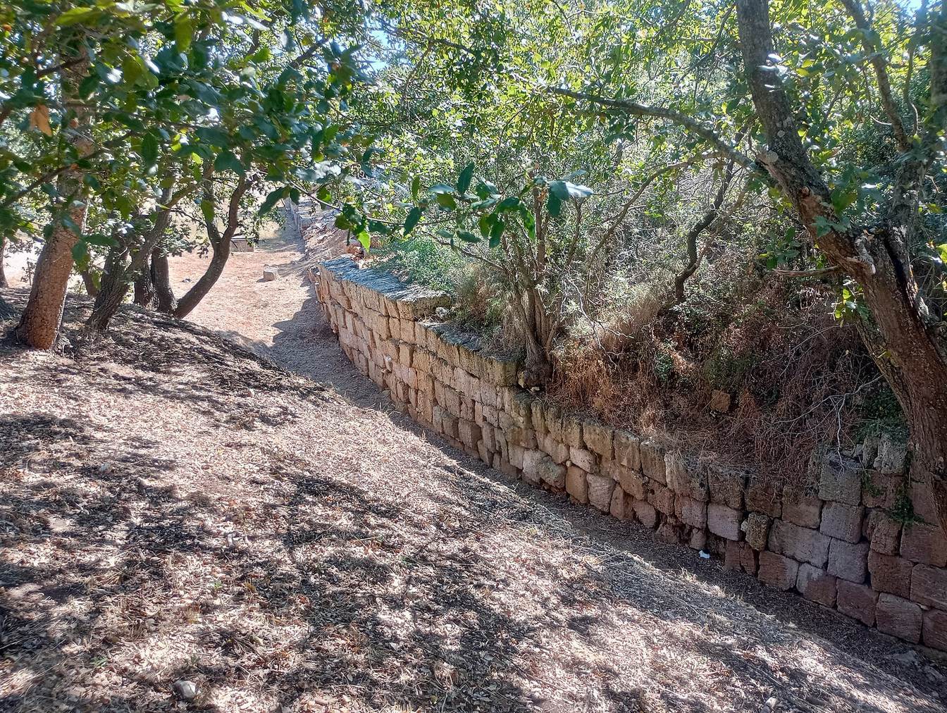
The earliest defensive wall enclosed the acropolis and measured about 1,400 metres. Its first construction used irregular stone blocks; later reinforcement employed local carparo building stone laid in even courses. A second wall, about 1,700 metres long, surrounded the upper and lower town. Around 300 BCE, a third circuit of roughly 1,300 metres was built around the acropolis to strengthen the existing defenses. Two further walls were added during the 3rd century BCE: one extended about 3,900 metres and another about 5,500 metres, enclosing the city and surrounding pasture. These later defenses were more roughly built.
Public buildings, houses and tombs
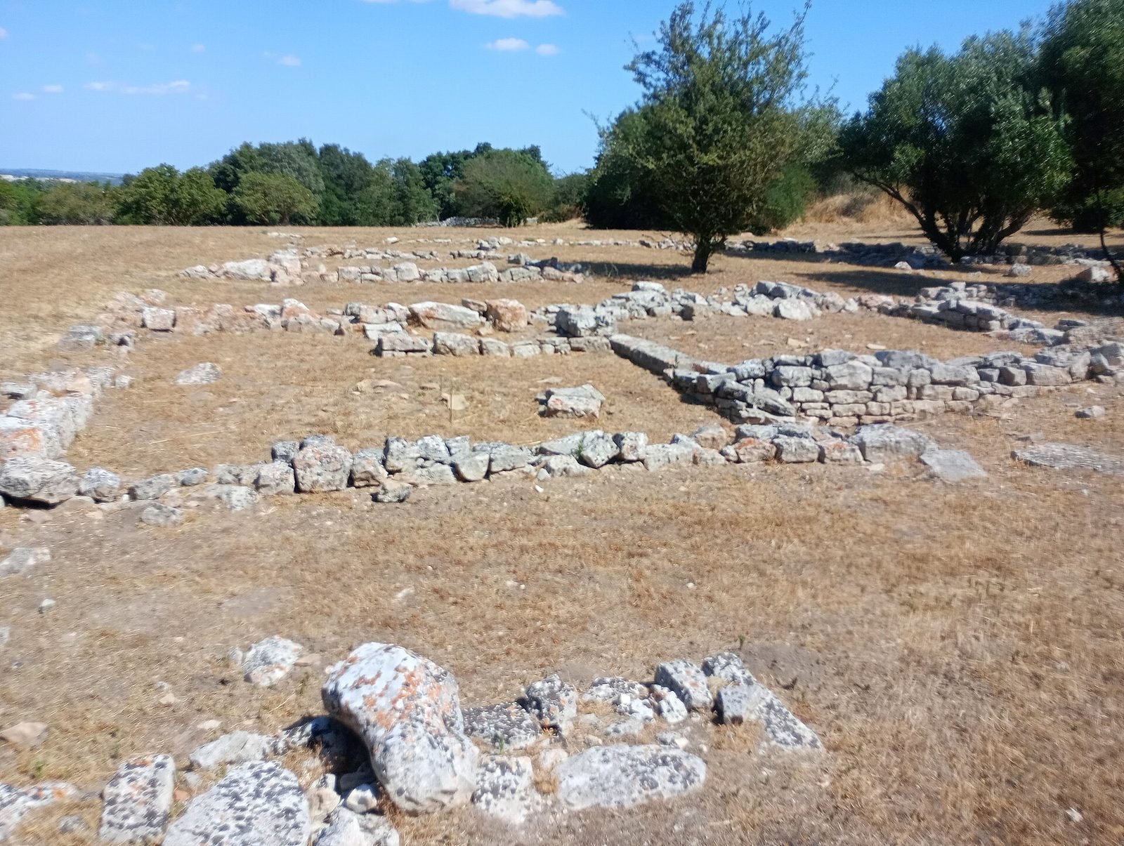
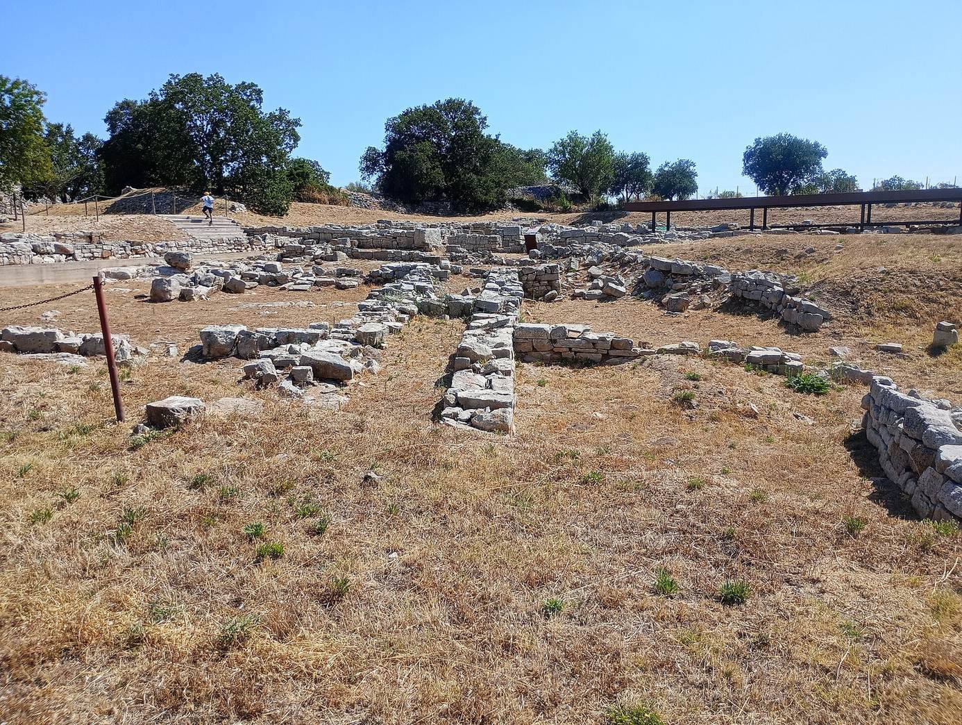
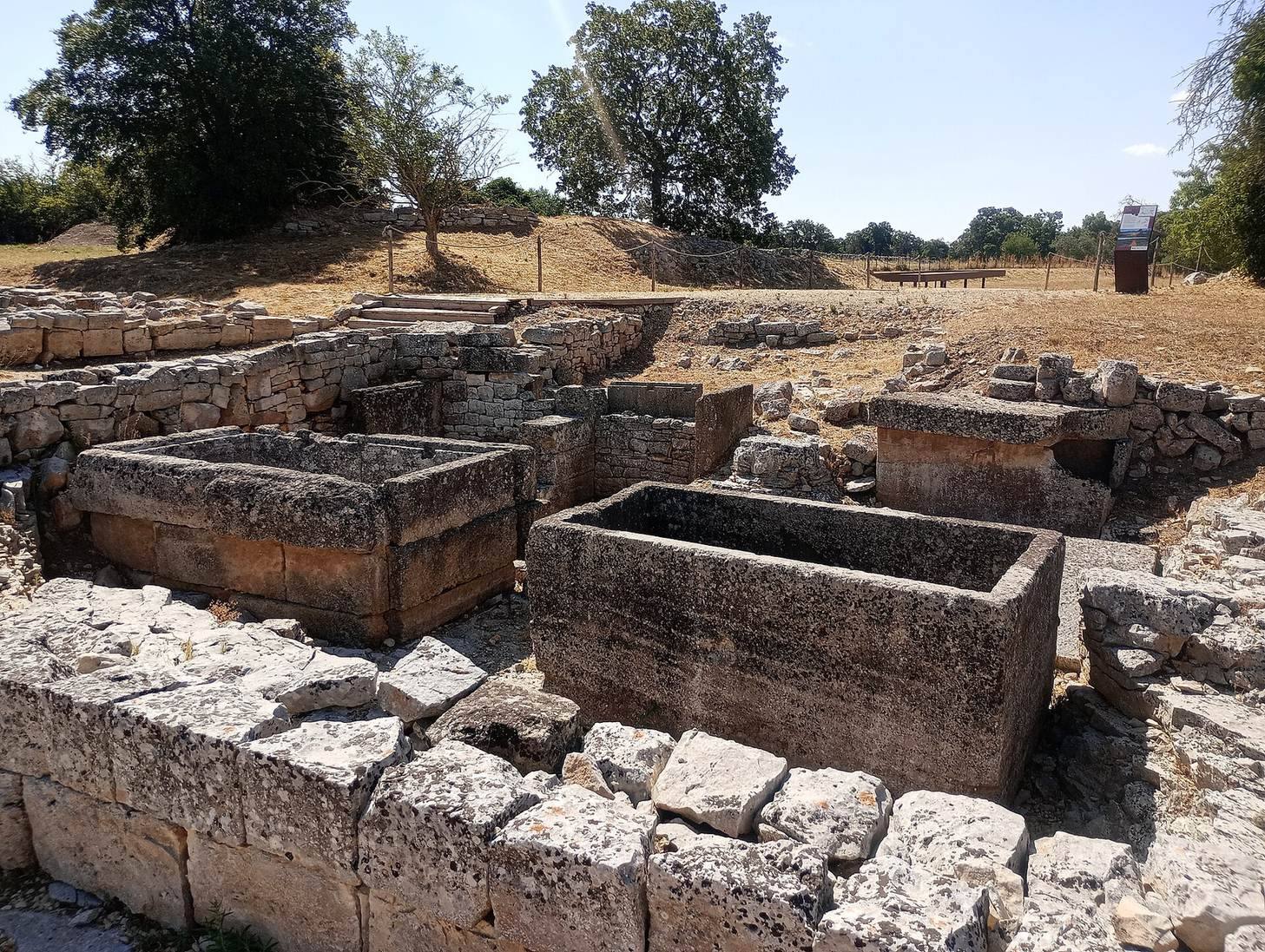
Political and religious buildings, aristocratic residences and monumental tombs occupied the acropolis. A colonnaded portico ran along the eastern side of the agora, the settlement’s central public space. The remains also include rectangular buildings, generally with stone foundations, and some with coloured architectural decoration. Excavations exposed a large aristocratic house, much of a public building and an early residential complex. Houses were also uncovered in the lower town, along with a long section of the second defensive wall and its northern gate.
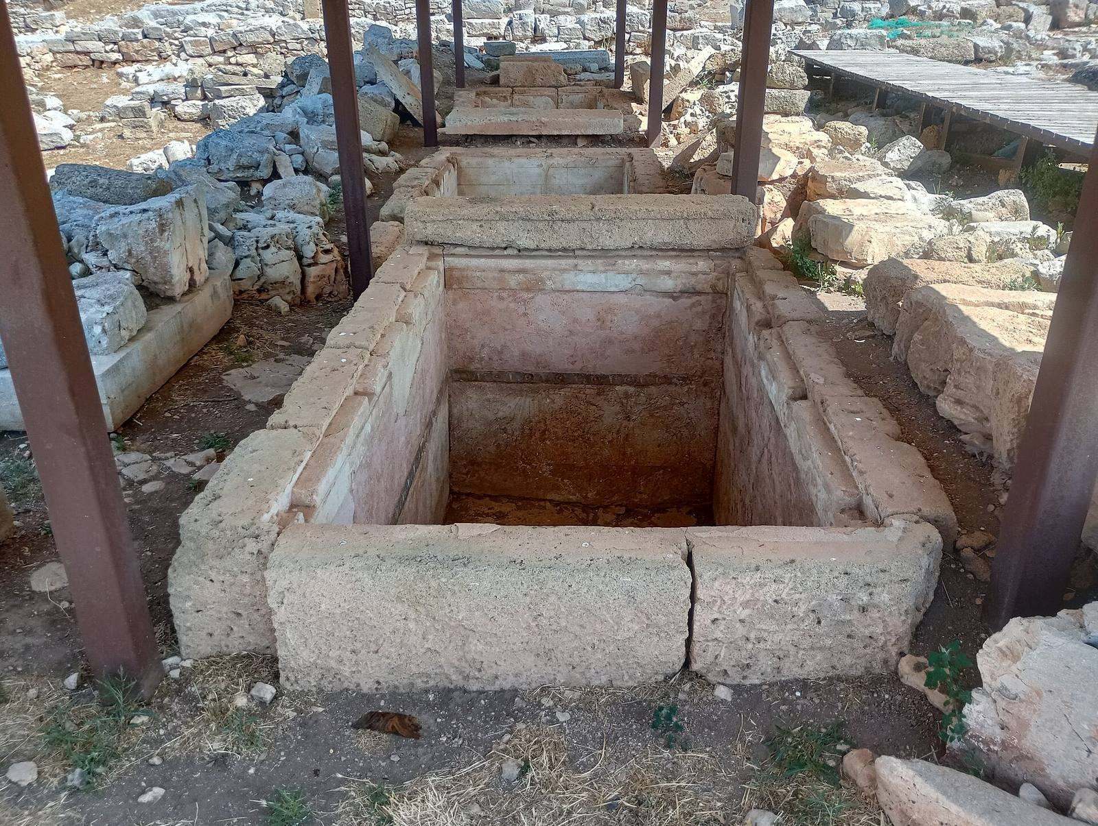
Numerous tombs have been found across the site, including monumental examples decorated with frescoes. Their presence on the acropolis and the western plain forms part of the settlement’s wider archaeological remains.
Medieval and rural remains
Foundations of the church dedicated to Sant’Angelo have been identified on the upper plateau. Near the park entrance stands Masseria Montanaro, a 19th-century rural farmstead that has been restored.