Milecastle 22: A Roman Fortification on Hadrian’s Wall
Site at a Glance
- Popularity
- Very Low
- Country
- United Kingdom
- Primary era
- Classical
- Eras represented
- Classical
- Civilizations
- Roman
- Site type
- Military
- Remains
- Fort
On this page11 sections
History
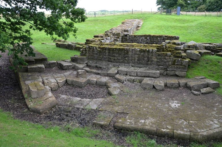
Milecastle 22 was a Roman fortification incorporated into Hadrian’s Wall in the United Kingdom. The Wall was a Roman frontier barrier in northern Britain, and milecastles were small forts built into it.
Construction and early use
Milecastle 22 is thought to have had a long-axis plan, meaning its longer dimension ran parallel to the Wall. Milecastles of this type were attributed to Legio VI Victrix, a Roman legion based at Eboracum, the Roman name for York, though this attribution is uncertain.
Soon after construction, a wall about one metre thick blocked the north gateway. This change has been interpreted as a response to nearby Portgate, which may have made the milecastle unnecessary as a passage through the Wall.
Turrets 22A and 22B were associated with the milecastle. Turrets along Hadrian’s Wall were probably manned by members of their milecastle’s garrison.
Archaeological investigations
Excavations in 1930 examined the milecastle and Turret 22A, and Turret 22B was located that year. Field investigations followed in 1966 and 1989. Excavation in 1992 exposed part of the milecastle’s south wall.
Remains
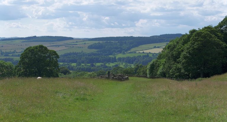
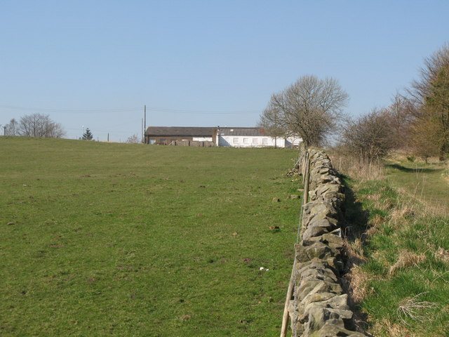
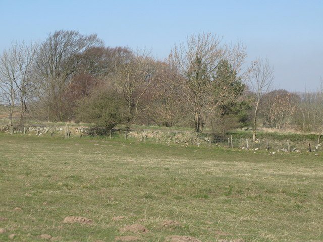
The remains form a low, turf-covered platform just east of the Portgate roundabout. Its east side rises about half a metre, while a change in vegetation on the west marks buried remains. The platform has been described as roughly square, with its earthen surface spread by cultivation.
Milecastle 22
Platform and walls
The milecastle measures 16.76 metres across. It was built in the Narrow Wall form, the narrower construction style of Hadrian’s Wall, with a Standard B offset, a recognized wall-step arrangement. The Wall’s continuous defensive barrier measured 3.05 metres wide at this point.
North gateway
The north gateway is classified as Type III, a category based on gateway form. Excavation revealed side walls about 2.4 metres thick and a north wall about 2.7 metres thick. The eastern part of the south wall was uncovered standing five courses, or horizontal rows of masonry, high.
Portgate and associated turrets
Portgate crossing
A major gateway called Portgate lay between Milecastle 22 and Turret 22A. It carried Dere Street, a Roman road, through Hadrian’s Wall.
Turret 22A
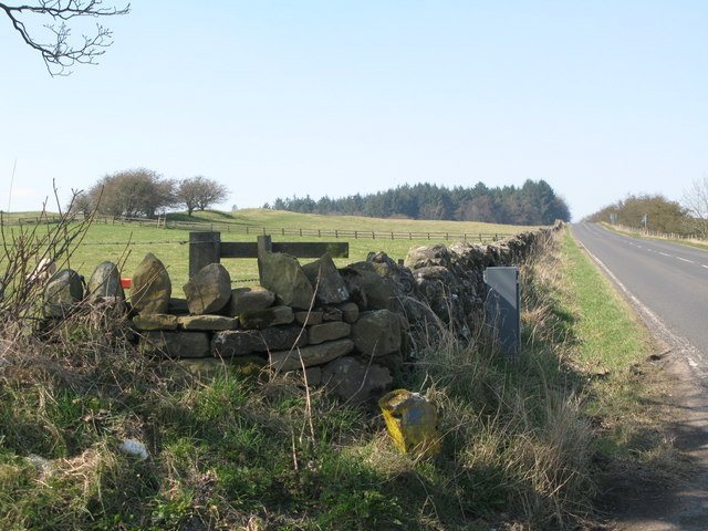
Turret 22A stood about one-third of a Roman mile west of the milecastle. It is also called Portgate, but is distinct from the major gateway of that name. Almost all of the turret is beneath the Military Road. Its south wall lies beneath a fence immediately south of the road. Excavation revealed four masonry courses on the turret’s west side and three on its east. Its Standard A construction, a recognized wall-construction arrangement, has been taken to indicate a change of builder from the milecastle.
A stone found near Turret 22A in 1850 bears the Latin inscription Fulgar divom, meaning “the lightning of the gods.” It was thought to have been set up where lightning had struck.
Turret 22B
Turret 22B, also known as Stanley, stood about two-thirds of a Roman mile west of the milecastle, beside the Military Road and 9.1 metres west of the lane to Portgate Farm. Its location is largely covered by a modern road. The Vallum, a substantial earthwork alongside Hadrian’s Wall, is particularly well preserved around the turret’s location.