Planetrees Roman Wall: A Surviving Section of Hadrian’s Frontier


Site at a Glance
- Rating
- 4.5
- Popularity
- Very Low
- Country
- United Kingdom
- Primary era
- Classical
- External website
- Open
- Eras represented
- Classical
- Civilizations
- Roman
- Site type
- Military
- Remains
- Wall
On this page10 sections
History
Planetrees Roman Wall is a surviving section of Hadrian’s Wall in Chollerford, United Kingdom, built by the Romans from AD 122 as part of the north-western boundary of the Roman Empire. The wall extended for about 80 Roman miles, or 117.5 kilometres, from Wallsend on the River Tyne to the Solway Firth and remained the frontier for nearly 300 years.
Construction of the frontier
Planetrees lies about 27 Roman miles, or 40 kilometres, from the eastern end of Hadrian’s Wall, at the eastern edge of the North Tyne valley. Its name comes from Planetrees farm, approximately 250 metres away. The original construction plan called for a continuous wall of substantial width and height, but the authorities altered the design while work was in progress. The wall was narrowed, probably to speed construction after the foundations had advanced more quickly than the masonry above them.
The change is visible at Planetrees, where the broad and narrow sections meet. The junction may also mark the work of two neighbouring construction teams. West of the junction, the wall continued towards the North Tyne valley at the reduced width, using foundations that had already been prepared for the broader design.
Changes to the military zone
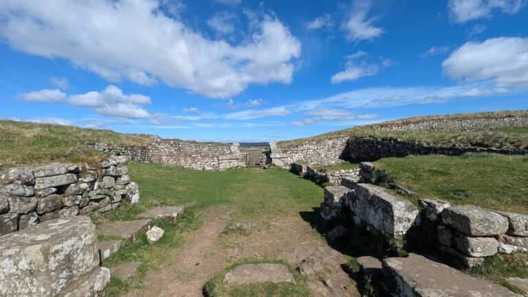
The frontier plan changed again before the large forts were incorporated into the Wall. A vallum, a broad boundary earthwork marking the rear of a Roman military zone, was laid out about 60 metres south of the wall. Hadrian’s Wall itself formed part of a larger system that included small fortified enclosures called milecastles and observation structures known as turrets.
Protection and investigation
By 1801, much of the wall at Planetrees had already been dismantled for its stone. The historian William Hutton encountered a labourer taking down more of the structure so that its well-cut facing stones could be reused by the local farmer Henry Tulip in new buildings. Hutton objected to the work and may have helped preserve the surviving section, which narrowly escaped almost complete destruction in the nineteenth century.
The remains received state protection in 1945, followed by consolidation work beginning in 1948. On 7 September 1989, English Heritage conducted a field investigation at Planetrees as part of the Hadrian’s Wall Project. The investigation recorded the transition between the narrow wall at the western end and the broad wall at the eastern end. The surviving masonry remains part of the Hadrian’s Wall frontier.
Remains
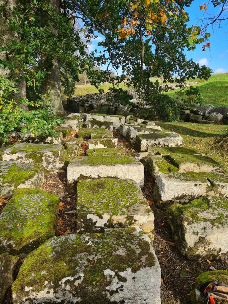
Planetrees occupies a gentle slope at the eastern edge of the North Tyne valley. Approximately 35 metres of Hadrian’s Wall survive, divided between a broad eastern portion and a narrow western portion. The foundations preserve evidence of the design change made during construction, while the associated vallum remains visible farther south as a shallow earthwork.
Wall remains
Broad and narrow sections
The eastern portion is the broad wall, roughly 15 to 20 metres long and about 10 Roman feet wide. The western portion is the narrow wall, also roughly 15 to 20 metres long, with a width of about 8 Roman feet, or approximately 1.75 to 1.8 metres. The narrow wall stands on foundations intended for the broader design, and an inward step on the south face marks the junction between the two sections.
Drainage culvert
The broad foundations extend beneath the narrow wall. Within the narrow-wall stretch, they contain a drainage culvert whose stones cross the full width of the broad-wall foundations. This arrangement shows that the culvert was built with the foundations rather than added later when the wall itself was raised.
Vallum
About 60 metres south of the wall is a shallow ditch belonging to the vallum. It was originally a broad, flat-bottomed ditch flanked by banks. Centuries of ploughing have reduced its form and partly filled it, but its line remains clearly visible in the landscape.
Wider wall system
The original design of Hadrian’s Wall included a V-shaped ditch along its northern side and walling approximately 4.5 metres high. Around 160 turrets stood between milecastles, small fortified enclosures built into the Wall at intervals. Their gates allowed passage through the frontier, and they normally housed between 8 and 30 soldiers. Larger forts incorporated into the Wall could accommodate approximately 500 or 1,000 soldiers.