Marcomagus: A Roman Road Settlement in Germany
Site at a Glance
- Popularity
- Low
- Country
- Germany
- Primary era
- Classical
- Eras represented
- Classical
- Civilizations
- Roman
- Site type
- City
On this page11 sections
History
Roman origins and later use
Marcomagus was a Roman vicus, a settlement generally without the formal civic status of a colony or municipium, near Nettersheim, Germany. It began as a road post beside the Trier to Cologne road in the first century CE and developed into a regional centre of religious, craft, and manufacturing activity. It flourished for roughly three centuries, continuing into the early fifth century.
Ancient records give the settlement’s name as Marcomago Vicus in the Itinerarium Antonini and Marcomagus on the Peutinger Map. The site between present-day Marmagen and Nettersheim is probably the settlement named in those records. It lay between Icorigium and Roman Cologne, within Germania Inferior, the Roman province along the lower Rhine, and in the territory of the Ubii, an ancient people of the region. The name Marmagen probably derives from Marcomagus, transferred to the village during the sixth or seventh century, or later.
A major fire in the late third century destroyed buildings in the area known as Auf der Alten Gasse. Most buildings there were abandoned afterward, and the fire may have been linked to a Germanic incursion. A small fort was established at Steinrütsch in late antiquity.
Debate over the road’s date
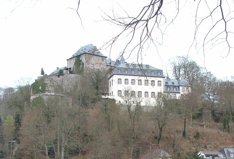
The date of the Trier to Cologne road, and therefore the beginnings of Marcomagus, became disputed because of a milestone said to have been found in 1590 in the wooded area called Busch Morall. Alexander von Wiltheim described the stone in 1680. In 1739, Johann Friedrich Schannat reported that it had been held at Blankenheim Castle by the Count of Manderfeld-Blankenheim, but the inscriptions in the two men’s accounts differ. The stone was later lost after the counts left their property.
The inscription was taken by Schannat and later local historians to refer to Marcus Vipsanius Agrippa, a Roman general and statesman who died in 12 BC. They used this reading to argue that the road predated the Common Era. Mining official Bernhard Clemens August Eick challenged that interpretation: he argued that the inscription referred to Cologne’s status as a colony, granted in AD 50, and placed the milestone in AD 226 rather than identifying Agrippa. The competing readings have not established a certain early date for the road.
Investigation and preservation
French and Prussian mapping of the Rhineland between 1800 and 1828 renewed attention to the road and the Roman remains in the area. Friedrich Wilhelm Schmidt and Eick investigated the route and the Roman aqueduct in the Urft valley, with Eick examining the spring at Grüner Pütz. General von Veith surveyed the road in the 1880s. In the 1920s and 1930s, Joseph Hagen and earlier investigators proposed a broad route from Trier to Icorigium, but the branches and crossings near Marcomagus made it impossible to determine one certain alignment from the undated traces. Aerial survey in the 1980s revealed the road as a pale line across fields on the Nettersheim–Marmagen plateau, and investigations of the road’s North Rhine-Westphalian section began in 1994.
In 1895, Paul Meller excavated a square measuring 10 metres on each side at Steinrütsch. He found building materials from structures apparently destroyed by fire, along with coins and other objects in ash. Görresburg was excavated in 1909. Walter Sage’s 1965 attempt to investigate Steinrütsch was limited by water entering the excavation. From 1975, Roman remains in four areas of Nettersheim were secured and partly reconstructed; the temple sanctuary was partly rebuilt in 1976 and 1977. University of Cologne investigations of Steinrütsch, Görresburg, and Auf der Alten Gasse began in 2009. These excavations have examined a vicus probably identifiable with Marcomagus and showed that unfinished sandstone blocks at Steinrütsch were not part of the aqueduct.
Remains
The settlement corridor
Vicus and strip houses
The settlement extended about 600 metres from Görresburg to Steinrütsch, across the Urft valley floor and its slope. Steinrütsch lies at about 460 metres above sea level; from there, the road climbed the gently southeast-sloping valley side through Auf der Alten Gasse to Görresburg, at about 500 metres. The road was about eight metres wide at Auf der Alten Gasse, where strip houses of rubble stone or timber framing stood along its sides. In the Archaeological Landscape Park, masonry outlines mark these houses.
The Trier to Cologne road
Approaching the plateau near Grüner Pütz, the road followed a winding course before running straight across the plateau toward the Schleifbach valley, which it crossed at right angles. It reached Görresburg, crossed the Urft within the settlement, and continued past Steinrütsch through the wooded ridge of Mürel. Parts of its raised roadbed can still be traced in digital terrain models on the ploughed plateau and at Mürel. Smaller routes also served nearby farms, agricultural terraces, and mining areas. Another proposed alignment runs from Eichtertal through modern Marmagen toward Runder Stein, which may be the base of a Roman milestone.
Steinrütsch
Steinrütsch was probably the settlement’s centre. A large courtyard building there may have served as a post for Roman personnel assigned to road security, whose names appear on votive stones at Görresburg. In late antiquity, travellers coming from Trier passed a small fort at Steinrütsch before crossing the Urft. The landscape park marks the fort with masonry outlines. A milestone fragment found near Steinrütsch in 1965 dates to the reign of Decius, Roman emperor from AD 249 to 251, around AD 250; a cast stands near the findspot.
Görresburg sanctuary
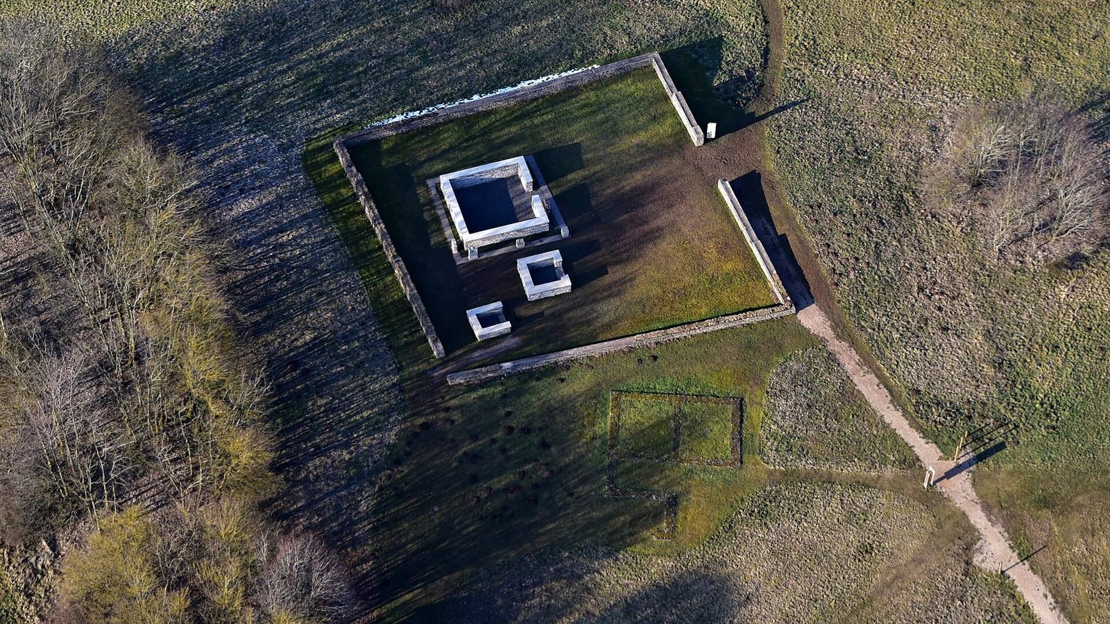
Görresburg was a temple district dedicated to the Matronae Aufaniae, a named group of female deities worshipped in the Roman provinces of the Rhineland. The sanctuary began in the second half of the first century and had no pre-Roman phase. Its early remains include a small earthen altar at the centre of a worship area enclosed by a wooden fence, as well as pits, some containing ash. The main temple was built in the mid-second century, and the sanctuary probably remained in use until the beginning of the fifth century. The complex is partly reconstructed in the landscape park. Votive stones found there name three Roman road-security personnel: Marcus Pettronius Patroclus, Gaius Lucretius Fatius, and Marcus Aurelius Agripinus.
Production, burial, and water supply
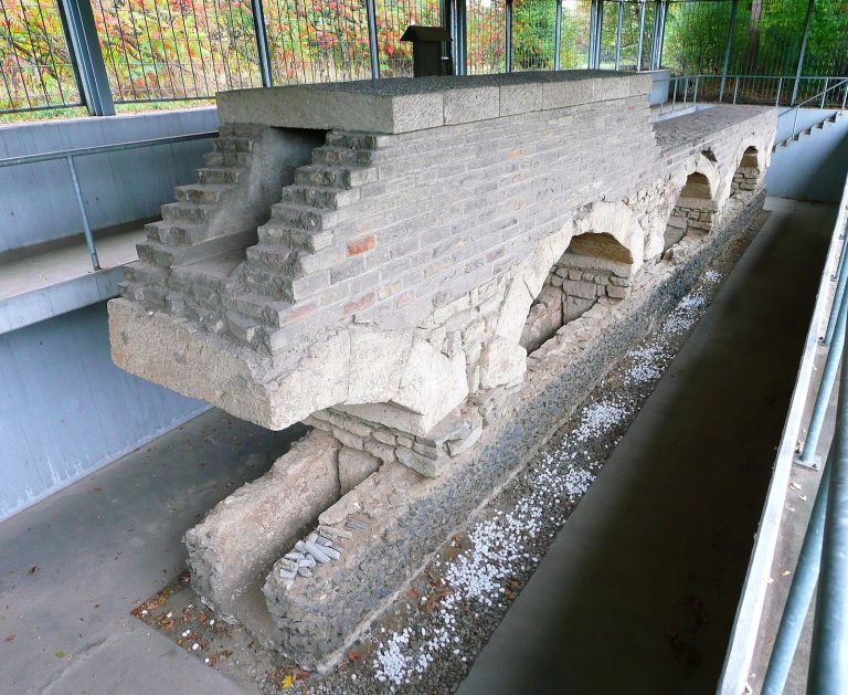
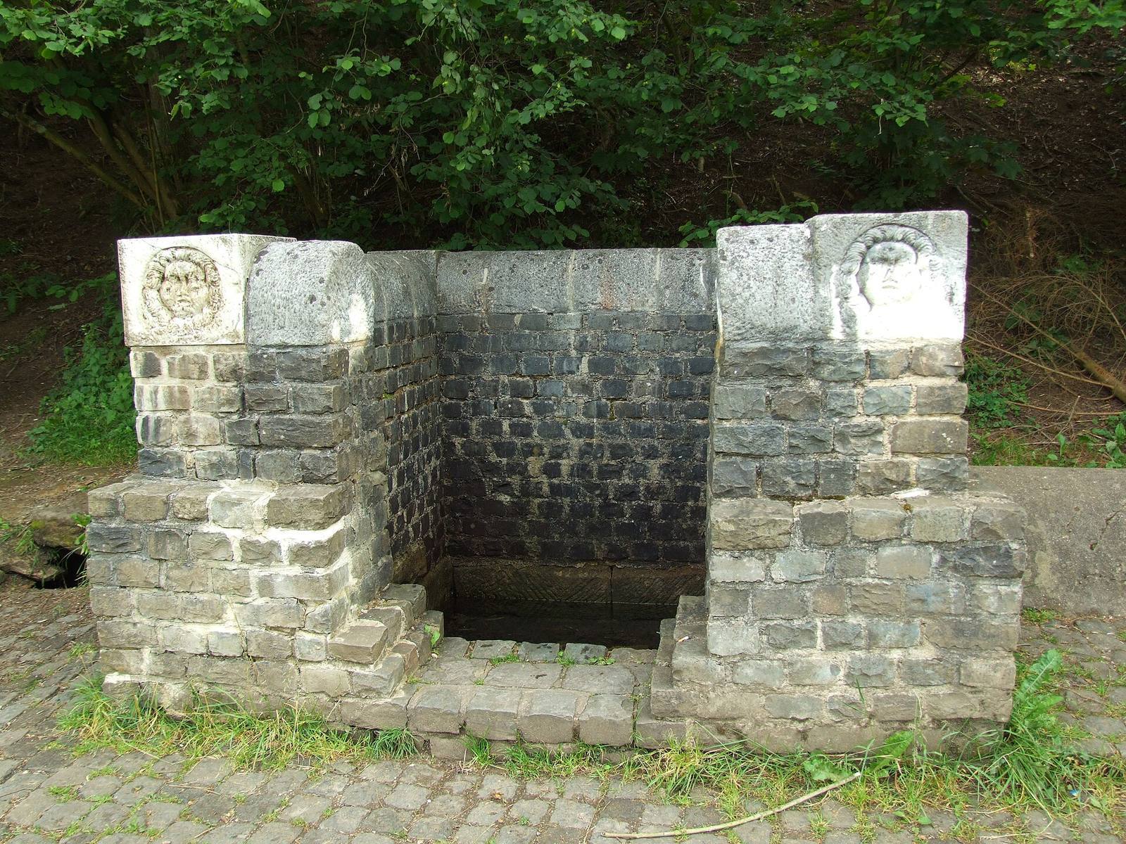
Iron production is indicated by metal slag and remains of pear-shaped smelting furnaces, including finds outside Steinrütsch. Cremation graves have also been found near the settlement. Agricultural terraces on nearby hillsides probably began in Roman times and were extended later; mining pits at Weilerbüsch and Weilerheck near Bahrhaus probably mark places where Romans extracted ore. Nearby Grüner Pütz is a spring collection structure at the head of the Eifel aqueduct, which carried water to Roman Cologne.