Kärnäkoski Fortress: A Russian Bastion Fortification in Finland


Site at a Glance
- Rating
- 4.3
- Popularity
- Low
- Country
- Finland
- Primary era
- Early Modern
- External website
- Open
- Eras represented
- Early Modern
- Civilizations
- Russian
- Site type
- Military
- Remains
- Fort
On this page13 sections
History
Kärnäkoski Fortress is a Russian stone bastion fortification in Finland, built between 1791 and 1793 in the French bastion tradition near present-day Savitaipale. Positioned on the Russian-Swedish frontier, it formed part of the outer chain of the South-Eastern Finland fortification system, which protected Saint Petersburg and the empire’s north-western border.
Creation of the frontier fortress
After the Russo-Swedish War of 1788–1790, Catherine II, empress of the Russian Empire from 1762 to 1796, ordered the strengthening of the north-western frontier. General Alexander Suvorov planned and directed the wider fortification system. Following his inspection of the region, he included Kärnäkoski among its forward defensive positions.
The fortress was intended to resist a land attack across the isthmus between Lake Saimaa and the Gulf of Finland. It also guarded the Russian-Swedish border, controlled traffic along the Lappeenranta–Ristiina road, monitored shipping on western Saimaa, and provided a base for the newly established Russian Saimaa fleet, a military rowing fleet operating on the inland waters of the region.
Construction began in July 1791 under Suvorov’s direction. French military engineers who had fled to Russia during the French Revolution designed the fortifications. Between 500 and 1,000 soldiers worked at the site each day in July, while about 1,400 Russian soldiers and local peasants took part in the construction as a whole. The arduous conditions and illness caused many deaths. The fortifications were completed in September 1792, although the overall construction period is dated to 1791–1793.
Military use and obsolescence
Kärnäkoski Fortress remained in military use from 1793 until 1835. It was also one of the bases of the Russian Saimaa fleet, alongside Lappeenranta Fortress and Olavinlinna Castle. Its position at the mouth of the Kärnäjoki River enabled it to combine control of the road, the frontier area, and shipping routes on western Saimaa.
The Finnish War of 1808–1809 changed the strategic situation. During the conflict between Sweden and Russia, the frontier moved west to the Tornionjoki River. The South-Eastern Finland fortifications consequently lost their military importance. Kärnäkoski did not fight the Swedish forces for which it had been designed, because Swedish troops withdrew from the frontier before the Russian advance and the principal fighting took place elsewhere. The surrounding area later saw several battles during the Finnish Civil War, roughly a century afterward.
In 1835, Tsar Nicholas I ordered the closure of obsolete inland fortifications. Kärnäkoski’s garrison was withdrawn, the fortress was disarmed, and its buildings and remaining equipment were sold at auction. The walls and other fortifications were then left without regular care. Rapid construction and reportedly poor-quality workmanship and materials contributed to the later collapse of sections of the walls, which became covered with earth.
Conservation and later interpretation
Conservation and restoration cleared the fortress area and repaired the walls, bringing the fortifications closer to their former shape. The work was undertaken by the Finnish National Board of Antiquities as part of wider work on south-eastern Finnish fortresses and was completed in 1997.
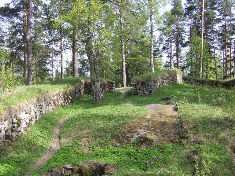
A vegetation inventory in 1987 led to the maintenance of an old-meadow biotope by mowing and removing young trees. Sheep have subsequently grazed inside the fortifications during summer, preserving traditional pasture and habitat for organisms affected by the modernization of agriculture. Kärnäkoski Fortress is listed by the Finnish National Board of Antiquities and the Ministry of the Environment as a nationally significant cultural-historical and landscape site. It functions as a free open-air museum with information panels, including panels in Russian.
Remains
Fortress layout and defenses
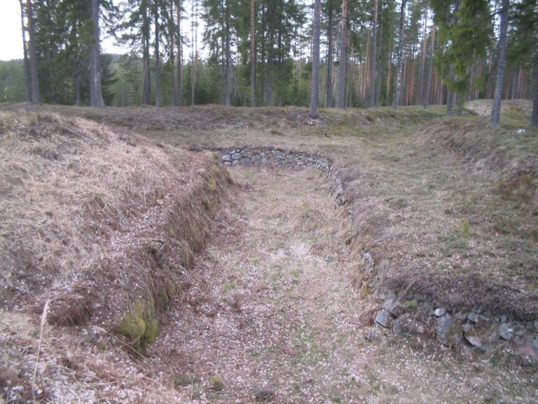
Kärnäkoski Fortress stands at the mouth of the Kärnäjoki River on the isthmus between Lake Saimaa and Lake Kuolimojärvi. Its irregular plan follows the terrain and the restricted space between the lakeshore and the Lappeenranta–Ristiina road, rather than forming the regular symmetrical star often associated with bastion forts. An earthwork wall and moat surrounded the main fortress and its outer defenses.
Bastions and outworks
Three demi-bastions, half-bastions projecting from the fortified line, protected the western and southern sides. Three ravelins, detached works placed in front of the main wall, stood before the principal defenses. The eastern and northern sides were less vulnerable because of the lakeshore and were protected by tenailles, angular defensive works designed to shield the wall and its approaches.
Gates and artillery positions
The northern tip contained a rear gate giving access to the ships and water, while the northern gate also provided access to the piers. The walls held 55 artillery positions, although the arsenal contained 24 guns during the fortress’s operational history. A guardhouse stood in front of the main gate.
Buildings and interior spaces
The fortress accommodated four companies, approximately 400 men. Its interior contained wooden soldiers’ barracks, one-storey wooden residences for the commandant, engineers, and artillery officers, officers’ quarters, a guardhouse, a brig, and a wooden food store in the south-western part. A stone powder magazine and a wooden storehouse occupied the northern part. The wooden buildings were later demolished, and their stone foundations survive as remnants of the former interior.
Supporting defenses and nearby structures
Kärnäkoski Redoubt
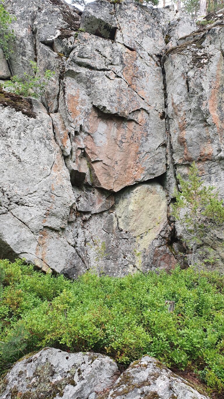
The Kärnäkoski Redoubt, also called the Mountain Redoubt, stood 600 metres south of the main fortress. This supporting earthwork guarded one entrance to the isthmus and formed part of the defensive arrangement around the principal fortification.
Partakoski Redoubt
Partakoski Redoubt lay two kilometres north-west of the fortress and guarded the other side of the isthmus. Together with the Kärnäkoski Redoubt, it extended the defensive reach beyond the main walls.
Water mill, sawmill, and bridge
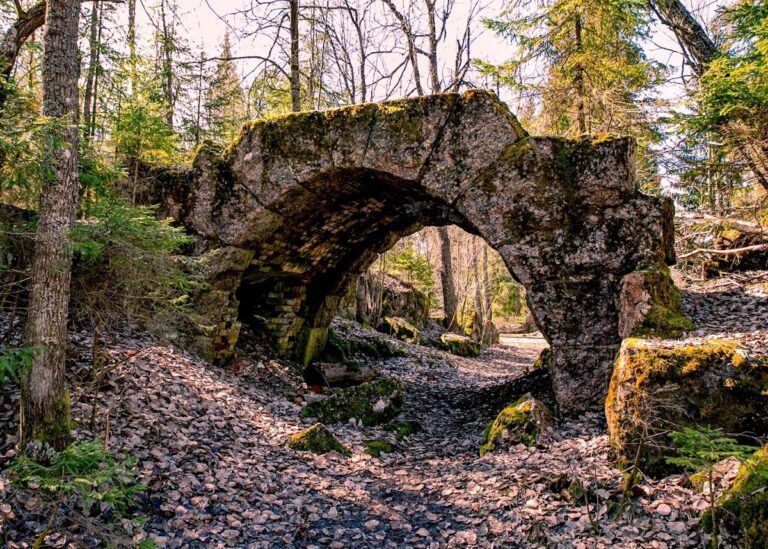
Other historical structures near the fortress include an old barge harbour, a water mill and sawmill built in the 1830s and used until the 1950s, and a double-arch stone bridge dating from 1886. The mill and sawmill were restored by a local village organization in 2002 and converted into free museums.