Forte das Cinco Ribeiras: A Portuguese Coastal Fortification in the Azores


Site at a Glance
- Rating
- 4.7
- Popularity
- Low
- Country
- Portugal
- Primary era
- Early Modern
- Eras represented
- Early Modern
- Civilizations
- Portuguese
- Site type
- Military
- Remains
- Fort
On this page8 sections
History
Forte das Cinco Ribeiras is a sixteenth-century Portuguese coastal fortification in Angra do Heroísmo on Terceira, Portugal, built to defend a coastal anchorage during the period of Atlantic exploration. Also known as the Fort of Nossa Senhora do Pilar and the Fort of São Bartolomeu, it formed part of the island’s response to attacks by privateers, privately operated armed vessels authorized by governments, and pirates.
Origins during the Portuguese Succession Crisis
The fort developed from a line of bastions opened between 1579 and 1581 during the Portuguese Succession Crisis of 1580. This conflict followed the extinction of the direct Portuguese royal line and produced a struggle for the Portuguese crown. Its military repercussions led to the strengthening of coastal defences in the Azores. Ciprião de Figueiredo e Vasconcelos, Corregedor of the Azores, ordered the defensive line according to a plan prepared by Tommaso Benedetto.
The defences protected the anchorage from repeated attacks during a period when Atlantic navigation and support for colonies in North America exposed the islands to maritime threats. The fort itself was raised in 1653 on the initiative of the municipal authority, which feared further pirate attacks and the approach of a squadron of 40 to 50 ships.
Expansion and military inspections
The municipality also worked with the Provisioner of Arms to prepare Terceira against a possible Spanish invasion during the Portuguese Restoration. This movement ended the Iberian Union and restored an independent Portuguese monarchy in 1640. During the War of the Spanish Succession, fought from 1702 to 1714, the fort was called the Fort of Nossa Senhora do Pilar.
After the establishment of the Captaincy-General of the Azores, the centralized military and administrative authority responsible for governing and defending the archipelago, an inspection identified work required at the entrance. The fort had six cannon emplacements, and the report recommended opening two more. Four iron guns were considered serviceable and in good repair, while two additional guns were needed for the new positions. These emplacements were intended to accommodate six artillery pieces and 24 auxiliaries.
Decline and abandonment
A 1776 inspection identified the site as the Fort of Cinco Ribeiras, in the parish of Santa Bárbara, beside Our Lady of the Pillar. It stated that the eastern side needed rebuilding and that the roof of the house and the fort’s exterior area required repair and plastering. Plans of the fort later appeared in José Rodrigo de Almeida’s 1806 collection of plans and elevations of 32 Azorean fortresses.
In 1862, Marshal Baron of Bastos still considered the fortifications viable. By 1881, however, the spaces had been abandoned and were in ruins. A process to transfer the property to the Ministry of Finance began in 1938 but was suspended in 1941, during the Second World War, when the fort was expropriated for military use. The transfer was completed in 1965. By the beginning of the twenty-first century, the fort was completely abandoned and in a precarious state of conservation.
Remains
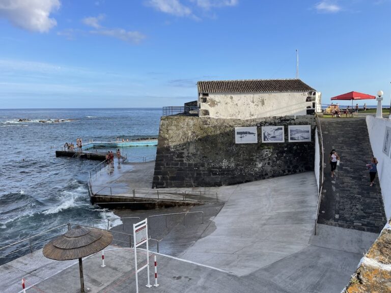
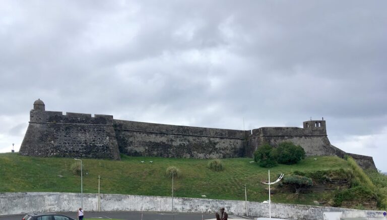
Forte das Cinco Ribeiras occupies about 210 square metres on an isolated basaltic coastal cliff at sea level, above a beach. The cliff was formed by a volcanic eruption of the Santa Bárbara Massif. Its dominant position and orientation toward the coast reflect its original purpose of defending the nearby anchorage.
Fortification and artillery platform
Main fort
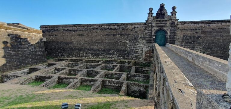
The polygonal bastion, a projecting fortification designed to provide defensive fire along the faces of enclosing walls, was adapted to the underlying rock and built with masonry and rock. Its walls enclose a platform with an artillery piece extending through the barbette, an open gun platform from which artillery could fire over a parapet. Inside, the fort contains a powder magazine, while firing positions for fusiliers are incorporated into the walls. The structure survives in a precarious condition after its abandonment.
Eastern defensive line
The main fortification was reinforced by a second line of trenches extending 150 metres eastward. Built of masonry and mortar, these additional defences formed part of the wider coastal position and extended the protected area beyond the polygonal fort itself.
Nearby sites