Kapatuosia: A Medieval Refuge Fort and Archaeological Site in Hollola, Finland
Site at a Glance
- Popularity
- Medium
- Country
- Finland
- Primary era
- Medieval
- Eras represented
- Stone Age, Medieval, Modern
- Civilizations
- Unclassified
- Site type
- Military
- Remains
- Fort
On this page8 sections
History
Kapatuosia is a ridge-top archaeological site in Hollola, Finland, about 200 metres north of the medieval stone church. The hill is thought to have served as a refuge fort by at least the medieval period. Evidence of human activity reaches back to about 6000 BCE, when people hunted animals including elk and beaver.
Prehistoric activity
The earliest known activity belongs to a long period before the hill’s use as a fort. Finds show that people visited the area thousands of years ago, although the evidence does not establish how they used the hill beyond hunting.
Medieval interpretations and local tradition
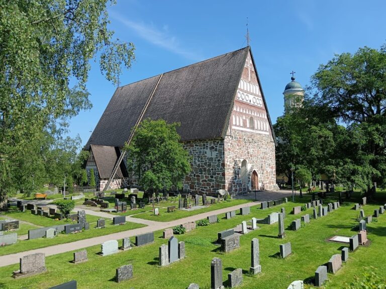
The name Kapatuosia probably refers to Cappadocia, a region of central Anatolia with an important place in Eastern Orthodox Christian history. One interpretation connects the name with Eastern Christian influence reaching eastern Häme in the early 11th century. Orthodox communities may have used the hill as a defensive position against the west. The site’s interpretation as a refuge fort is supported by archaeological discoveries, though its wooden defenses and a building foundation have not been dated.
Local folklore links the hill to the founding of Hollola’s Church of St Mary, named for Mary, the mother of Jesus. In one tale, the giants Hollo and Martta tried to build the church on Kapatuosia, but its foundation stones rolled down overnight to the place where it stands today. Another part of the story tells that Jalle, jealous of Hollo over Martta after their announced wedding was cancelled, destroyed an earlier wooden church and left Hollola for Jaala.
Modern use and protection
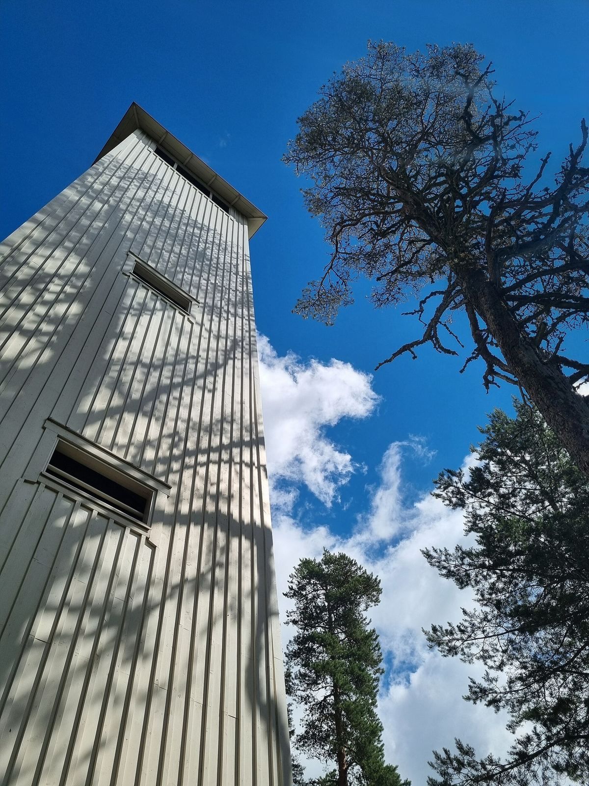
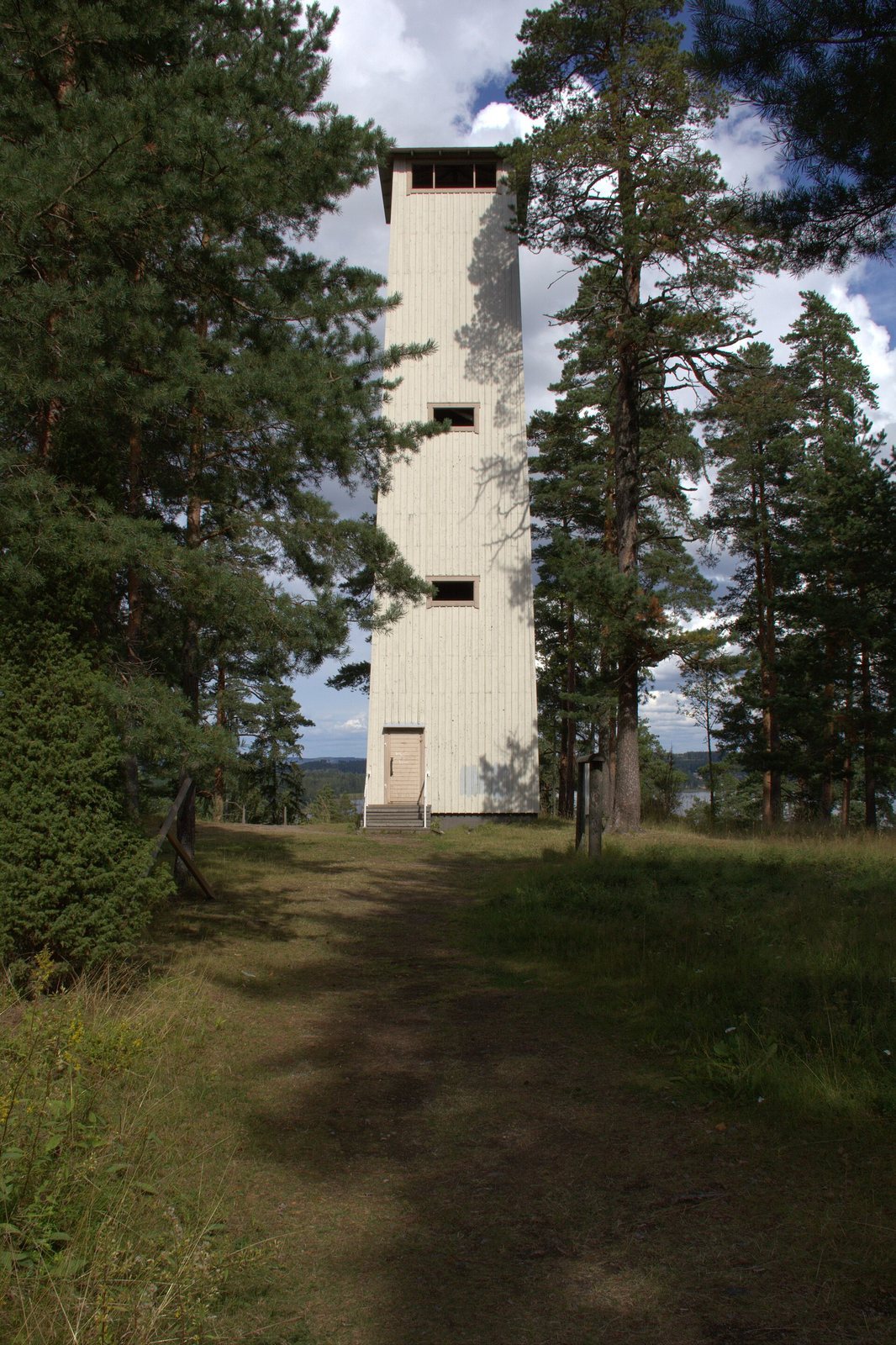
Excavations took place in 1962–63, 1965, 1998, and 1999. A lookout tower built on the summit in the early 20th century later served as an air-surveillance post during the Continuation War, the 1941–44 conflict between Finland and the Soviet Union. The tower was extensively renovated in 1998–99 and repaired again in 2016.
Kapatuosia is registered as an archaeological site and identified as an ancient fort under designation SM1 in the statutory Päijät-Häme regional plan. The plan covers 6.6 hectares and places the hill within the Kastari-Hatsina-Kutajoki cultural environment, a landscape considered important to preserve. A management area encompassing the hill supports its protection.
Remains
The ridge and summit
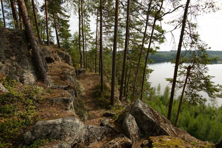
Kapatuosia is a north-south ridge rising 56 metres above Lake Vesijärvi, with a natural summit plateau about 60 by 30 metres. The hill forms part of First Salpausselkä, one of Finland’s extensive ridges of glacial deposits, formed by meltwater near the end of the last ice age about 12,000 years ago. The summit is thought to have developed near the level of the Baltic Ice Lake, one stage in the postglacial development of the Baltic basin, when the hill was an island. The former shoreline of the Yoldia Sea, another stage in that development, is identified at the elevation where the winding path begins.
Excavated remains and finds
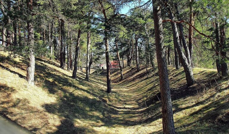
Excavations revealed wooden defenses and a building foundation, neither of which has a determined date. More than 300 fragments of silver coins minted between AD 700 and 1000 have been found on the hill. Other finds date from the late 11th century to around 1200, with additional material from the 16th century and modern times. A summit hearth dates to the Mesolithic, or Middle Stone Age, when hunter-gatherers lived after the last ice age. Finds also include quartz flakes, bone fragments, and dozens of arrowheads with slanted or crosswise blades.
Lookout tower
A lookout tower stands on the summit and provides views over Lake Vesijärvi and the surrounding cultural landscape.