Kajita Castle: A Sengoku-Period Mountain Stronghold in Japan
Site at a Glance
- Rating
- 4.2
- Popularity
- Very Low
- Country
- Japan
- Primary era
- Early Modern
- External website
- Open
- Eras represented
- Early Modern
- Civilizations
- Unclassified
- Site type
- Military
- Remains
- Castle
On this page9 sections
History
Kajita Castle was a Sengoku-period mountain castle in Tomika, Gifu, Japan, built and developed during Japan’s era of prolonged warfare among regional lords. Its exact foundation date is uncertain, but it was the residence of the Mino Sato clan during the Eiroku era, approximately 1558 to 1570. The castle occupied a strategic position on a highway linking Mino Province, a historical province corresponding broadly to much of present-day Gifu Prefecture, with the entrance to Hida near present-day Kanayama in Gero. It became a regional strategic center north of the Nobi Plain.
Origins and Strategic Position
The castle was originally called Kyakuteki Castle, meaning “castle that repels the enemy,” and was also known as Kajita Mountain Castle. The mountain itself was called Kajita Mountain, Kojoyama, or Hakuhazan, while the whole mountain is now known as Nashiwariyama. Tradition attributes the castle’s construction to Sato Tadayoshi and his son, Sato Tadayasu. Its position placed it between major strongholds in western, eastern, and northern Mino, including Gifu, Ogaki, Naegi, and Gujo-Hachiman castles.
The Sato clan first served the Mino Saito clan, ruled by the sixteenth-century warlord Saito Dosan, but later gave secret support to the Oda clan. In 1565, the Saito forces attacked the Sato forces during campaigns at Dodo and between Seki and Kajita. With Oda support, Kajita repelled both attacks, although Sato Tadayasu was killed during the Seki-Kajita Campaign.
Saito and Oda Rule
After Tadayasu’s death, Oda Nobunaga ordered Saito Toshiharu, the youngest son of Saito Dosan, to become lord of Kajita Castle. Toshiharu served Nobunaga and participated in campaigns connected with Nobunaga’s expansion. He died on June 2, 1582, during the Honnoji Incident, a coup in Kyoto in which Akechi Mitsuhide attacked and killed Oda Nobunaga, creating major political upheaval among Nobunaga’s retainers.
Saito Toshitaka succeeded Toshiharu and became a chief retainer of Oda Nobutaka, one of Nobunaga’s sons and commanders. In July 1582, the Kajita-Kanayama Campaign began when Mori Nagayoshi sought to expand his power across eastern Mino. Toshitaka defended Kajita Castle, but his activity as castle lord disappears from the historical record during 1582 and 1583. The territory was then incorporated into the holdings of the Mori clan. Traditions differ over whether Toshitaka died from illness or in battle, and some accounts preserve a tradition that he survived the fall of the castle.
Abandonment and the Castle Town
After the Mori clan expanded across eastern Mino and part of central Mino, it abandoned Kajita Castle because maintaining the region’s numerous castles had become burdensome. The settlement below the mountain continued to prosper as a post station until the early Showa period. Kajita’s historical territory included the mountain stronghold, the lord’s residences, fortified settlements, and the surrounding area between the Tsubo and Kawaura rivers.
The southern castle-town area developed into upper, middle, and lower districts and later incorporated Katamachi. Residences and town houses extended along the Tsubo River and the highway. Kajita was also associated with the Shimizudera temple area and the Kajita warrior community, which attracted people from different directions. River traffic, trade, and fishing centered on the confluence of the Tsubo and Kawaura rivers, while boats also traveled along the northwestern Tsubo River.
Later local water-control and building works reused some castle masonry. The intake of the Machida Water system, also called the Kajita irrigation canal, at the source of the Obora River is said to have been made by dismantling castle stonework. Masonry south of the Matsuiya Sake Brewery is likewise said to have come from Kajita Castle. Materials concerning the castle are preserved at Ryufukuji Temple, the Tomika Local History Museum, and the Tomika municipal offices.
Remains
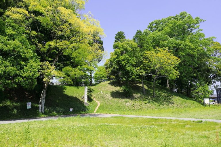
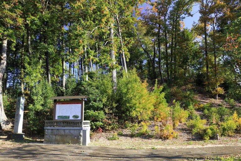
Kajita Castle occupies Kojoyama, a mountain approximately 270 meters above sea level. Its principal fortification follows the ridgeline and includes the First, Second, Third, and Fourth Baileys, with a bailey being a fortified enclosure within a castle. Subsidiary baileys and forts, earthen banks, vertical and lateral moats, cut slopes, controlled entrances, and segmented ridges extend across the mountain. The castle’s comprehensive outer defense reached from Nashiwariyama toward the Tsubo and Kawaura rivers, while roads connected the fortified areas across Kajita Mountain and formed an integrated defensive landscape.
Mountain Enclosures and Defenses
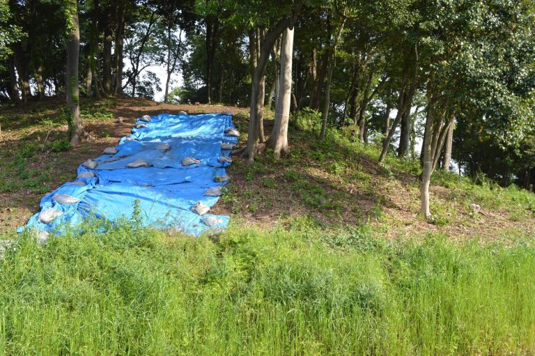
Steep slopes protected the castle, while the Tsubo River to the north and the Kawaura River to the south served as natural moats. The northern approach was particularly steep and rocky and was known as the northern difficult passage. Structural remains include stone walls, earthen ramparts, vertical and lateral moats, cut slopes, entrances, belt baileys, waist baileys, ridge trenches, and rows of earthen defensive trenches. A spring-fed well also remains within the castle area.
Residences and Castle-Town Areas
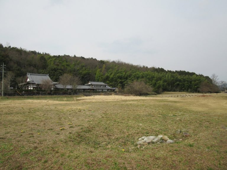
The principal complex is understood to have combined a palace residence at the foot of the mountain, a residential castle on the middle slope, and the main castle, with its central enclosure and tower, above them. The area around the eastern community center is identified as the site of the castle lord’s residence. Other compounds at the mountain’s foot included the lord’s estate, warrior residences, and additional residential spaces. The southern side contained the upper, middle, and lower town districts, while Katamachi formed part of the later central castle town. Town houses and residences of members of the Mino Saito-Sato family stood along the Tsubo River on the northern side of Nashiwariyama and connected with the highway.
Stone Features and Defensive Installations
The largest rebuilt form of the castle is characterized as a compact stone-built complex. Natural chert, a hard, fine-grained siliceous rock, appears in outcrops from the entrance to Hakuhazan Shimizudera and across the Nashiwariyama fortifications. These outcrops worked together with artificial masonry as both terrain and defense. The tower arrangement is described as an independent turret or tower that was initially two stories high and later rebuilt with a three-story or larger maximum tower, although the dates of these changes are uncertain.
Rocky installations and lookout positions include the Flag-Planting Hole, a former rice-storage or rice-transport area, a smoke-signal station, a lookout, and a turret platform. Santoku-iwa retains holes used for planting flags and also served as a smoke-signal station. Other defensive or landscape features include Shimizu Waterfall Gate, the Eastern Shimizu Gate, Sute-bori Gate, Eboshi Rock, Reigazan, Koyabora, Tabora, Ishihiroi, Kidoga-i, and Baba. Ryufukuji and Shimizudera stood at the foot of the mountain.
Associated Forts and River Setting
The fortified landscape included Santoku Fort on present-day Tenjinyama, a western fort near the former Kajita Elementary School, Kinomaru, Sute-bori, Goganodo, and the fortified area around the rice-storage rocks and signal station. Associated subsidiary strongholds included Morizan Castle, also called Ushigahana Fort, and Ichiyanagi Castle. Other castles connected with the Sato clan’s extended kin network included Nataoyama Castle, Itanohigashi Kakegane Castle, Ibuka Castle Residence, and Hachiya Residence.
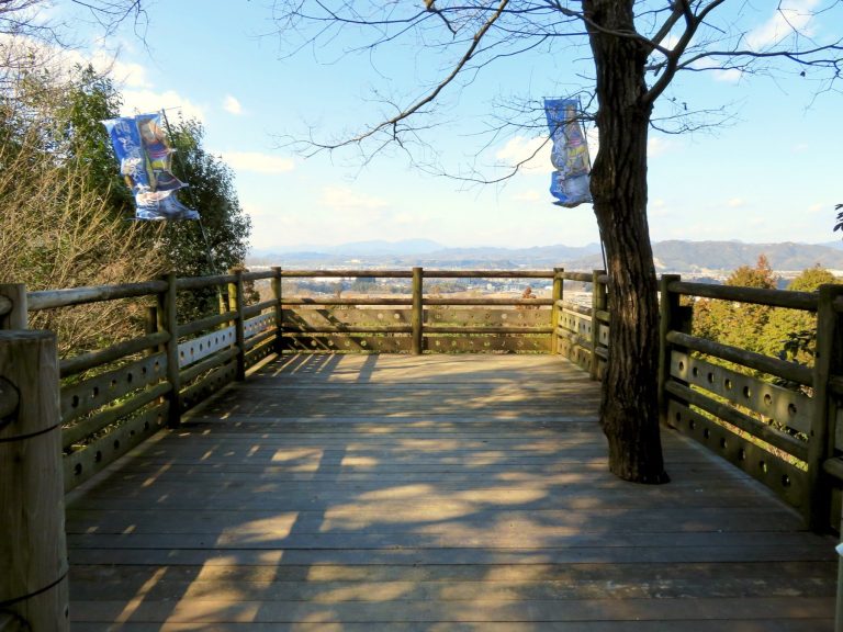
The castle commanded views across central, northern, western, and eastern Mino and parts of Owari. On clear days, the view extended to Nagoya’s JR Central Towers and Ise Bay. The confluence of the Tsubo and Kawaura rivers at the western end of the outer enclosure formed a river pool navigable by boats. The Kawaura and Obora rivers also supported fishing because of their aquatic life.