Ikime Kofun Cluster: An Early Kofun-Period Burial-Mound Complex in Japan


Site at a Glance
- Rating
- 4.1
- Popularity
- Very Low
- Country
- Japan
- Primary era
- Classical
- External website
- Open
- Eras represented
- Classical
- Civilizations
- Yamato
- Site type
- Burial
- Remains
- Necropolis
On this page8 sections
History
The Ikime Kofun Cluster is a group of burial mounds in Japan, located in the Atoe area of Miyazaki on the right bank of the Oyodo River. Construction began around the late third or early fourth century AD, and the cluster developed between the third and fifth centuries during the Kofun period, an era known for large elite burial mounds. It is regarded as the largest early Kofun-period burial-mound cluster in Kyushu.
Formation and early designation
The cluster originally entered the national register of protected historic sites on September 8, 1943. At that time, the designated area contained 43 mounds, including seven keyhole-shaped mounds and 36 round mounds. A keyhole-shaped mound has a square section joined to a circular section when viewed from above. Later investigation established that one of those 43 features was a natural hill rather than a kofun, the Japanese term for a burial mound.
Archaeological reassessment
Research resumed from the late 1990s after a long period of limited investigation. Further work identified 51 kofun, 36 underground horizontal-entry tombs, 49 earthen pit graves, and three circular ditch graves. An underground horizontal-entry tomb is a burial chamber reached through a subterranean passage. The cluster also contains a regional form called a vertical-corridor burial chamber, in which a vertical shaft led to a side-opening chamber and was filled after burial.
Protection and interpretation
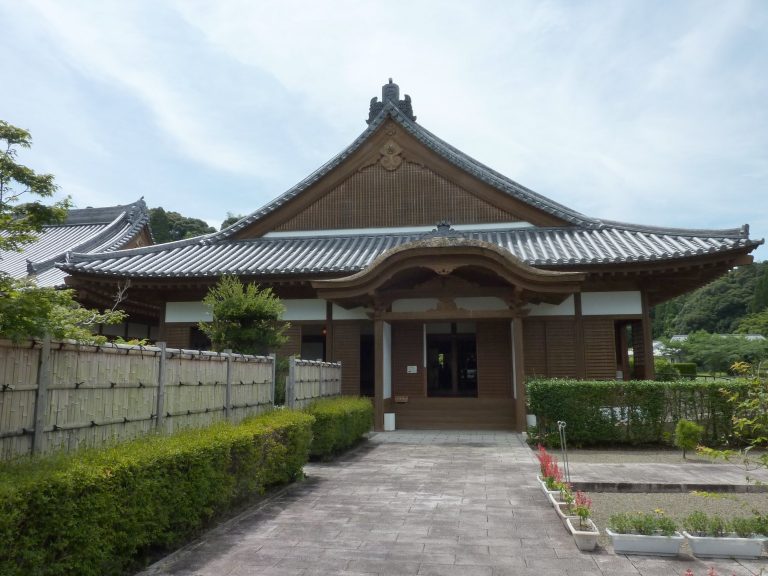
The protected area was enlarged in 2007, and the site opened as the Ikime Kofun Group Historical Site Park on April 1, 2008. A Miyazaki City archaeological cultural-properties center and interpretive facility opened beside the cluster on April 25, 2009. It functions as the city’s buried cultural-properties center and supports research, cataloguing, preservation, public display of excavated materials, training, and experiential education.
Remains
Layout and mound forms
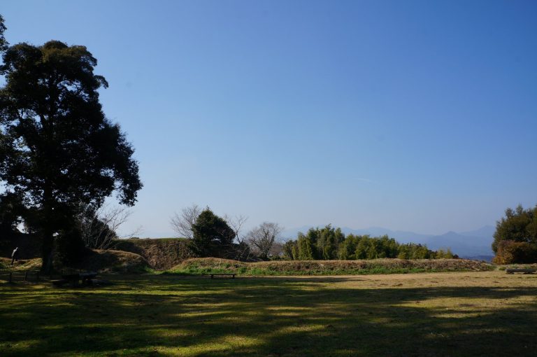
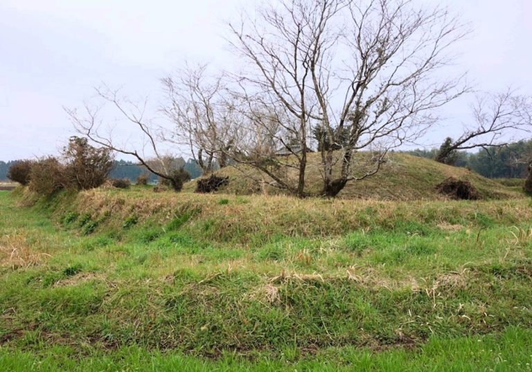
The cluster extends about 1.3 kilometers from east to west and 1.2 kilometers from north to south across a plateau approximately 20 to 25 meters above sea level. Its surviving burial mounds include keyhole-shaped and round forms. Three keyhole-shaped mounds are longer than 100 meters. Kofun No. 3 measures 143 meters and is described as the third-largest kofun in Kyushu. Kofun No. 1 is 136 meters long and 17 meters high, with proportions similar to those of Hashihaka Kofun in Nara Prefecture. Many mounds retain stone facings, while some contained cylindrical haniwa, ceramic funerary or ritual objects placed around or on burial mounds.
Burial chambers
Kofun No. 7 contains an underground horizontal-entry tomb excavated deeply into the mound’s interior. This burial form is found only in southern Kyushu and is especially notable within the cluster. Kofun Nos. 7 and 19 also contained vertical-corridor burial chambers, where a shaft descended to a chamber opening to the side. These tomb arrangements provide physical evidence of varied burial practices within the mound group.
Historical Site Park
The historical-site park contains eight keyhole-shaped mounds and 25 round mounds. It also includes reconstructed examples of Kofun No. 5 and an underground horizontal-entry tomb, presenting the forms of burial architecture identified within the wider cluster.