Saitobaru Kofun Cluster: A Major Japanese Burial-Mound Complex


Site at a Glance
- Rating
- 4.2
- Popularity
- Medium
- Country
- Japan
- Primary era
- Medieval
- External website
- Open
- Eras represented
- Classical, Medieval
- Civilizations
- Yamato
- Site type
- Burial
- Remains
- Necropolis
On this page15 sections
History
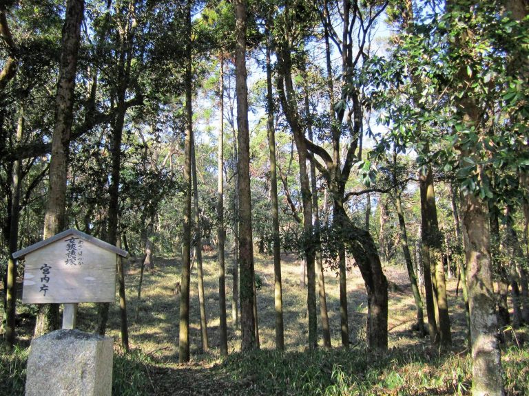
The Saitobaru Kofun Cluster is a large Japanese burial-mound complex in Saito, Miyazaki Prefecture, Japan. Built between the early fourth century and the first half of the seventh century, it contains tombs from the kofun period, when elite and ruling individuals were buried in monumental mounds. Most of its mounds date from the fifth and sixth centuries, and the oldest currently identified is Mound 81.
Formation and organization
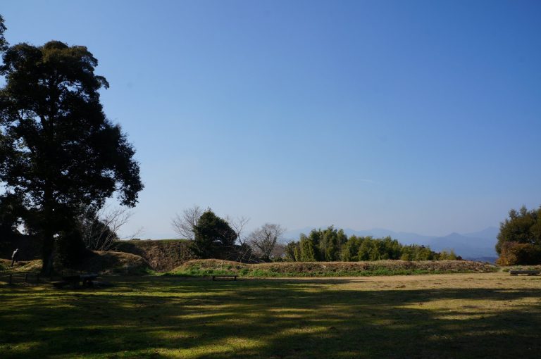
The cluster developed across the Saitobaru Plateau and an intermediate plateau extending toward the urban area. It contains more than 300 burial mounds, although published classifications give totals ranging from about 319 to 334. One current classification lists 319 elevated mounds, including 31 keyhole-shaped mounds, two square mounds, and 286 circular mounds. It also lists 10 horizontal tombs and 12 underground horizontal tombs. New discoveries and the levelling of some mounds during archaeological investigations have contributed to the differing totals.
The mounds are arranged in three principal groups and several branch groups. Named groups include Maruyama, Terahara First and Second, Dojima, Sagita, Ozusuji, and Toriko. Depending on the classification, the cluster is divided into 10 to 13 subgroups. Together, these groups preserve the changing forms of burial construction used in the region over several centuries.
Early archaeological investigation
A major change in the study and protection of Saitobaru began in 1912. Miyazaki Governor Chuichi Ariyoshi consulted Professor Takashi Sakaguchi of Kyoto Imperial University and secured approval from the Imperial Household Ministry for a joint research team from Kyoto Imperial University and Tokyo Imperial University. The project aimed to protect the mounds and to support the claim that Miyazaki was the ancestral homeland of the imperial line. It became Japan’s first major academic joint investigation of an archaeological site.
The team included Takashi Sakaguchi, Ryu Imanishi, Sadakichi Kida, Takuji Ogawa, Sueji Umehara, Konan Naito, Katsuro Hara, Kosaku Hamada, Katsumi Kuroita, Tsunee Shibata, Yoshito Harada, and Ryuzo Torii. Scholars from the Imperial Museum and the Imperial Household Ministry also took part. Six campaigns, held from December 1912 to January 1917, investigated 30 mounds. The first campaign examined Mounds 202, 51, 72, 70, 71, 274, 73, 169, 170, 171, 207, and 205. Later work covered Mounds 115, 35, 32, 36, 57, 56, 84, 27, 2, 156, 160, 159, 152, 13, 265, 80, and two unnumbered mounds.
A prefectural historical-site research institute was established in 1914 to house excavated materials. It later passed to Saito City and became the Saito City Museum after receiving designation under the Museum Law in 1952. It ultimately developed into the prefectural Saitobaru Archaeological Museum, which stores and displays finds from the cluster.
Protection and archaeological presentation
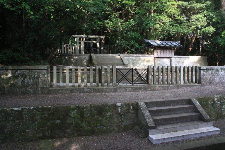
Saitobaru was designated a national Historic Site on 1 May 1934 and received Special Historic Site status on 29 March 1952. The protected area was enlarged in 1972, 1997, 1998, and 2002. The mounds of Osahozuka and Mesahozuka are Imperial Tomb Reference Sites, a category used by the Imperial Household Agency for tombs or mounds potentially associated with the imperial family. They therefore lie outside the Special Historic Site boundary.
From 1966 to 1968, the site became Japan’s first Fudoki no Oka, an archaeological-park approach that preserves ancient monuments within their landscape while presenting regional history. Fifty-five mounds in Areas A and C were restored during this period. From 1993, Miyazaki Prefecture organized systematic planning for preservation and interpretation. Conservation and archaeological work supported by the Agency for Cultural Affairs began in 1995, initially focusing on Oninoiwaya Kofun and Mound 13, and continued through 2019.
Later work included investigations of Mounds 13, 46, 47, 81, 82, 100, 101, 111, 115, 169, 170, 171, 201, 202, 265, and 284, as well as the First Branch Group horizontal tombs and the Sakumoto-no-ue horizontal tomb complex. Mounds 46, 47, and 202 were investigated and restored between 2008 and 2013. From 2014 to 2018, work covered Mound 101, Mound 265, the areas around Osahozuka and Mesahozuka, and the First Branch Group horizontal tombs, with additional preservation at Mounds 100, 171, and 206. In 2019, the archaeological museum investigated Mound 115 and the First Branch Group tombs and improved the area around Mound 101.
Tradition and modern interpretation
The approximately four-kilometre Kiki no Michi connects Saitobaru with places associated with the Hyuga myths preserved in the Kojiki and Nihon Shoki, early Japanese chronicles containing mythological and historical traditions. According to local tradition, Konohanasakuya-hime and Ninigi-no-Mikoto lived as a married couple at one location along the route, although other places in Miyazaki are also linked with the same story. A mythological map completed in 1823 records the route.
The concentration of burial mounds and other historic places along Kiki no Michi has been interpreted as evidence that the area was an ancient political, economic, and cultural centre of Hyuga, an ancient province corresponding broadly to parts of southeastern Kyushu. These interpretations remain partly traditional or conjectural. A November festival dedicated to the cluster includes a torchlit procession of several hundred people along the route and commemorates the region’s legendary past and burial mounds.
The cluster forms part of the Japan Heritage story “Monuments of Ancient People, Painting on the Plateau: Kofun Landscape of Miyazaki in Southern Japan.” It is also included in Miyazaki Prefecture’s proposed “Southern Kyushu Kofun Culture,” for which World Heritage inscription has been pursued. The Special Historic Site Park is additionally included among Japan’s 100 Historic Parks and 100 Urban Parks. The surrounding landscape is a prefectural bird and animal sanctuary, and parts overlap the Kyushu Nature Trail. Associated historic and natural places include the Hyuga Provincial Capital ruins, Tsuma no Kusu, and a large ogatama tree in the Terasaki cemetery.
Remains
Saitobaru occupies a diluvial plateau about 70 metres above sea level on the right bank of the middle reaches of the Hitotsuse River. The complex extends approximately 2.6 kilometres from east to west and 4.2 kilometres from north to south. Its mounds include keyhole-shaped, circular, and square forms, while horizontal tombs and underground horizontal tombs occur on both the Saitobaru Plateau and the intermediate plateau. The planned Special Historic Site Park covers 68.5 hectares, with a utilized area of 62.1 hectares and a designated Historic Site area of about 58 hectares.
Principal mound forms
Osahozuka and Mesahozuka
Osahozuka Kofun is a 175-metre-long scallop-shell-shaped mound, described as the largest example of this form in Japan. Mesahozuka Kofun is a 180-metre-long keyhole-shaped mound, described as the largest keyhole mound in Kyushu. Both are Imperial Tomb Reference Sites and lie outside the Special Historic Site boundary.
Himezuka, Mound 202
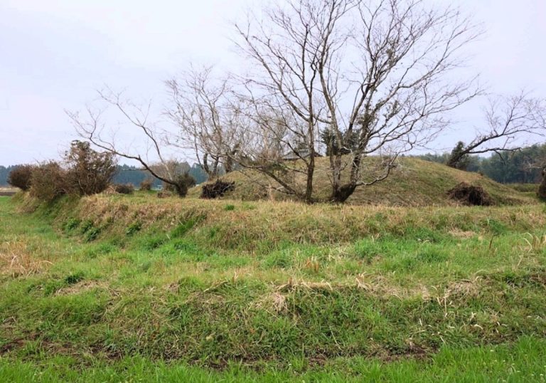
Himezuka, or Mound 202, stands at the western end of the First Group’s First-B Branch Group. This keyhole-shaped mound dates from the beginning of the sixth century and is regarded as the final stage of this form in Miyazaki. It is approximately 50 metres long, with a front section 30.8 metres wide and 5.25 metres high. Its rear circular section is 28.4 metres in diameter and 6 metres high. Two tiers form both sections, and a moat surrounds the mound. A wooden coffin was placed directly in the burial ground.
Investigations during the Taisho period recovered three straight swords, a small knife, nine Sue ware vessels, small glass beads, and faceted crystal beads. Later work produced Sue ware, iron arrowheads, faceted crystal beads, curved beads, small glass beads, and earrings covered with gilt bronze. Sue ware is high-fired ceramic pottery associated with ancient Japanese burial and settlement contexts.
Stone-chamber and horizontal tombs
Oninoiwaya Kofun, Mound 206
Oninoiwaya Kofun, also called Mound 206, is a circular mound built from the end of the sixth century to the beginning of the seventh. It is the only mound in the cluster with a horizontal stone chamber. The mound is oval, measuring approximately 36.4 metres from east to west and 33.6 metres from north to south, with a maximum diameter of about 37 metres and a height of 7.3 metres. It has two mound tiers and two layers of rammed earth.
The single-chamber burial room is a double-sleeved horizontal stone chamber entered from the south. Sandstone blocks form the chamber, while river stones fill the gaps. The chamber is 4.8 metres long, 1.75 to 2.45 metres wide, and 2.15 metres high. Its passage is 7.5 metres long, 1.8 metres wide, and 1.8 metres high.
A moat, outer earth bank, and second moat encircle the mound. The inner moat is 9.9 to 11 metres wide and 0.65 to 0.85 metres deep. A passage connects it with the stone chamber, widening from 2 metres at the chamber to 7.5 metres at the entrance. The earth bank is 9.9 to 11 metres wide at its base, about 5.8 metres wide at the top, and approximately 5.2 metres high. The outer moat is about 5 metres wide and 0.65 metres deep.
This complete earthen enclosure has been compared with burial mounds in mainland China and the Korean Peninsula. The Ishibutai Kofun is the only comparable Japanese example identified in the available material. Oninoiwaya yielded horse equipment, Haji ware, Sue ware, and Kan’ei Tsuho coins. Haji ware is a lower-fired ancient Japanese pottery.
Local tradition says that an ogre built Oninoiwaya in a single night. The tomb was robbed during the Edo period. William Gowland, a British archaeologist and metallurgist whose work helped document early Japanese archaeology, regarded it as one of the finest kofun he had found in Japan. When a camphor tree near the chamber entrance threatened the stone chamber with collapse, dismantling and restoration allowed archaeologists to identify an underground drainage channel, the complete earth bank, and evidence of additional burials.
Sakumoto-no-ue horizontal tomb complex
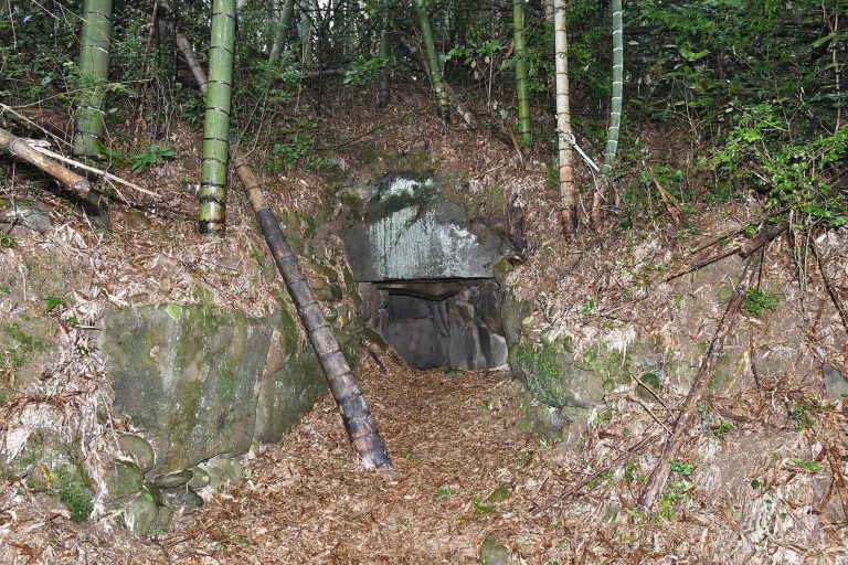
The Sakumoto-no-ue horizontal tomb complex dates from the beginning of the seventh century. It combines horizontal tombs with underground horizontal tombs, a southern Kyushu form in which a burial chamber is reached through a vertical shaft or underground approach. Discovered during archaeological investigations in 1994, it was the first complex of this type identified at that time. The remains consist of 10 passages, six burial chambers, and one circular mound.
Finds from Sakumoto-no-ue include a female skull, Sue ware, Haji ware, iron arrowheads, small knives, and earrings. A protective shelter was built over the complex in 1998.
Restored mounds and excavated objects
Preserved mound groups
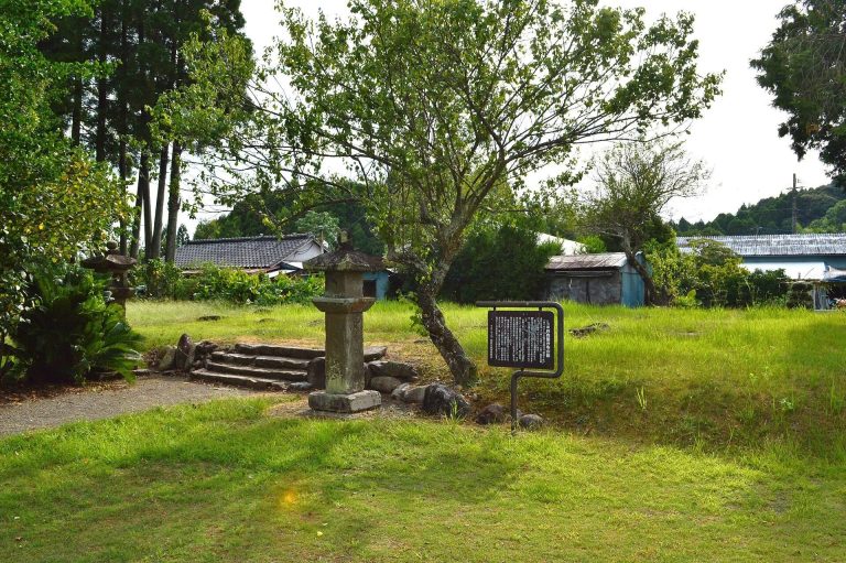
Preservation projects restored the appearance of Mounds 46, 47, and 202. Woodland that obstructed Mounds 81 and 82 was removed, revealing those mounds and leading to the discovery of two additional mounds between them. The surroundings of Mounds 13, 100, 101, 111, 171, and 202 were arranged for preservation and interpretation.
Horse fittings and haniwa
Gilt-bronze horse fittings excavated from a Saitobaru kofun in Hyuga Province are designated a National Treasure and are held by the Gotoh Museum. Their precise provenance is uncertain because they may have come from the nearby Hyakutsukahara Kofun Cluster, which some institutions regard as part of the wider Saitobaru complex. A replica is displayed at the Saitobaru Archaeological Museum.
Mound 170 produced a house-shaped haniwa and a boat-shaped haniwa, both designated Important Cultural Properties and held by the Tokyo National Museum. Haniwa are clay funerary figures and models of buildings, vessels, and other objects placed on or around burial mounds. The house haniwa consists of five buildings and measures 95.6 centimetres long, 72.4 centimetres wide, and 54 centimetres high. Its central building has been interpreted either as a pit dwelling with a gabled, thatched roof or as a building with a hipped, thatched roof. The surrounding hollow buildings include both hipped-roof and gabled-roof structures.
The boat-shaped haniwa is 100 centimetres long. Its bow and stern rise above the hull, producing a gondola-like form, and it has been interpreted as a model of a semi-structured boat. In 2020, the Saitobaru Archaeological Museum produced a clay reproduction of the house haniwa for display inside and outside the museum.