Hrad u Brtníků: A Medieval Rock Castle Ruin in the Czech Republic


Visitor Information
Google Rating: 4.7
Popularity: Low
Country: Czechia
Civilization: Medieval European
Site type: Military
Remains: Castle
History
Hrad u Brtníků is a ruined rock castle located near the village of Brtníky in the Czech Republic. It was established during the late 13th or early 14th century by the medieval Bohemian nobility, likely under the Berka of Dubá family, who controlled much of the surrounding region at the time.
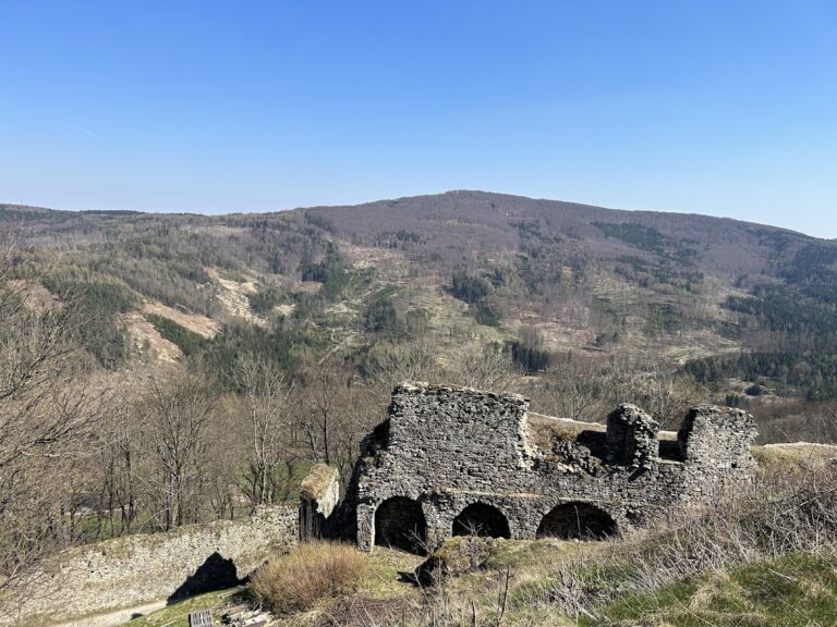
The site appears to have served primarily as a military refuge rather than a fully completed castle. Archaeological findings suggest it was intended as a stronghold or outpost, possibly to oversee and protect territories in the borderlands near Lusatia. Construction seems to have begun but never reached completion, and no historical documents directly mention the castle during its period of use. This lack of written record indicates it may have had limited strategic importance or a short operational span.
By the 15th century, the castle had fallen out of use, as no references occur in documents from that era. In later years, the original name of the site was lost. A forestry map dated to 1736 marks the location as “Loupežnický zámek,” which translates roughly to “Robber’s Castle,” hinting at local folklore or the site’s reputation by that time. In the 16th century, the castle’s vicinity remained significant for regional travel, with various routes from Lusatia mapped near it by the cartographer Matyáš Oeder.
Remains
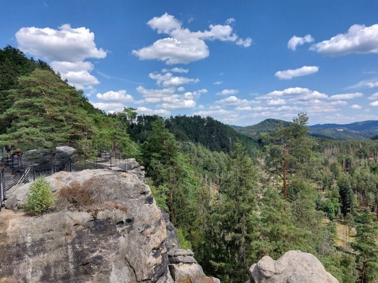
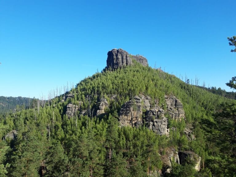
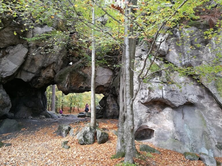
The ruins of Hrad u Brtníků are arranged across two distinct sandstone rock blocks separated by natural gaps that were deliberately widened to form ditches, enhancing the site’s defensibility. This two-part layout provided separate zones of function and protection within the stronghold.
The eastern rock outcrop housed the outer bailey, an enclosed yard or courtyard, which was accessible through two staircases on its eastern side. Remnants of a stone defensive wall are still visible on the southeast portion of this area, marking the line of fortification intended to guard the approach.
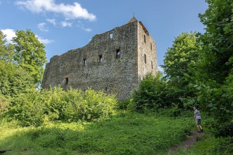
Access to the castle’s main stronghold, situated on the second rock block, was likely provided by a bridge spanning the ditch between the two promontories. On this central plateau, a large sandstone surface measuring roughly 17 by 10 meters features foundations carved directly into the rock. These footings outline a tower-like structure of about 4.5 by 5 meters, entered from the northern side, indicating a key defensive and possibly residential building at the heart of the fortress.
Further evidence of construction includes a channel or groove carved into the southern edge of the core rock, associated with an additional, unidentified building whose exact purpose remains unclear. The ruins survive in fragmentary form but remain in situ, offering a tangible glimpse into the mixed natural and man-made defenses characteristic of such medieval refuges.
Nearby sites