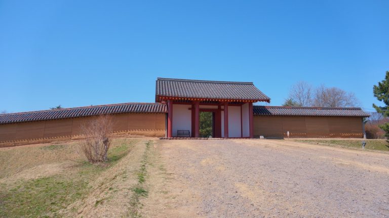
Hiyama Andō Clan Fortified Residence Ruins: A Medieval and Early-Modern Castle Complex in Japan


Site at a Glance
- Rating
- 4
- Popularity
- Very Low
- Country
- Japan
- Primary era
- Medieval
- External website
- Open
- Eras represented
- Medieval, Early Modern
- Civilizations
- Tokugawa
- Site type
- Military
- Remains
- Castle
On this page13 sections
History
The Hiyama Andō Clan Fortified Residence ruins in Japan, at Noshiro in Akita Prefecture, comprise Hiyama Castle and the associated fortified sites of Ōdate, Chausu, and Kokusei-ji. Built and developed by the Hiyama branch of the Andō, a regional maritime warrior clan active along the northern Sea of Japan coast and in the Tōhoku region, the complex took shape from the fifteenth century and remained important through the Sengoku period, the era of political fragmentation and frequent warfare in Japan.
Foundation and the Hiyama Andō
Hiyama Castle, also known as Kiriyama Castle or Horinouchi Castle, is generally associated with the establishment of an Andō headquarters in 1456. In that year, Andō Masasue and his son Andō Tadasue defeated Kasai Hideshige, who controlled the area known as Kahoku Sencho. Masasue began the castle, while Tadasue is generally said to have completed its reconstruction around 1495. Andō Yasusue is also associated with repairs in 1432, but the exact sequence and construction date remain uncertain.
The castle became the residence of the Hiyama branch of the Andō clan for five generations. Its hilltop position and surrounding fortified sites supported the clan during the Sengoku period. Ōdate and Chausu stood on approaches connected with the Ugo Highway, while nearby religious institutions and the family temple of Kokusei-ji formed part of the wider political and cultural landscape.
The Minato War and the end of Andō rule
In 1589, an internal conflict within the Andō clan developed into the Minato War. Hiyama Castle endured a large siege during the conflict and reportedly withstood more than 150 days of blockade. Its outlying fortifications, defensible position, food supplies, and escape routes helped sustain the resistance.
In 1598, Andō Sanesue moved his seat to Minato Castle in present-day Tsuchizaki, Akita. Hiyama Castle then became territory administered by Ōtaka Yasuzumi. Kokusei-ji, the Andō family’s memorial temple, was reportedly founded by Andō Tadasue around 1504. After the Andō, later called the Akita clan, were transferred away, the temple was abandoned and its former precinct became a rice field.
Akita administration and abolition
Following the Battle of Sekigahara, the Andō clan was transferred in 1602 to Shishido in Hitachi Province, while the Satake clan moved from Hitachi Province to Akita. The Satake appointed Oba Yoshinari as castellan of Hiyama Castle, but transferred him to Ōdate in 1610. Tagaya Nobuie then replaced him and received a holding assessed at 10,000 koku, a historical measure of agricultural yield and the income associated with a lord’s territory.
The Tagaya carried out major renovations at Hiyama Castle. The castle was abolished in 1620 under the Tokugawa shogunate’s One Castle per Province edict, which limited each domain to a single principal castle and led to the removal of many other castles. The Tagaya nevertheless remained in Hiyama for successive generations. After Hiyama Castle was dismantled, they moved to Mount Chausu, built a residence there, and placed their retainers around it. Hiyama continued as a political and cultural center until the domains were abolished and prefectures were established.
Preservation and archaeological investigation
Surveys carried out by the Noshiro City Board of Education between 1994 and 1996 confirmed the extent and preservation of the Tagaya estate and its associated settlement. Hiyama Castle, Ōdate, Chausu, and the ruins of Kokusei-ji were collectively designated a National Historic Site of Japan in 1980 and 1986, with a preservation and management plan.
The first archaeological excavation of the fortified-residence complex began on June 6, 2016, in preparation for environmental improvement works planned for fiscal year 2017. Comprehensive investigation of Hiyama Castle and its castle town also began that year. Excavations at Ōdate found no evidence confirming an earlier proposal that it was the government-built Noshiro Camp associated with the Gengyō Disturbance. Traditional associations remain important to the interpretation of Ōdate and Chausu: Ōdate is linked with the Kitabatake clan, which was driven from Tsugaru by the Ōura, later called the Tsugaru, clan, while Chausu is linked with the Kitabatake and with Ōtaka Yasuzumi.
Remains
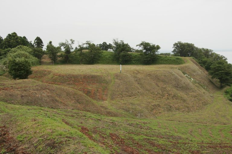
The surviving complex occupies a group of hills and plateaus around Hiyama settlement. Hiyama Castle covers Mount Kiriyama south of the Hiyama River, a tributary of the Yoneshiro River, while Ōdate and Chausu occupy the terminal sections of nearby hills. Cut ditches, dry moats, earthen ramparts, stepped ground, ridges, and enclosed baileys, or sections of a castle, form the principal surviving elements. The Ugo Highway runs along the western side of Hiyama Castle and also influenced the position of the outlying fortifications.
Hiyama Castle
Mount Kiriyama rises to approximately 147 meters above sea level and about 128 meters above the surrounding terrain. The hill and its horseshoe-shaped foothills were incorporated into a mountain fortress measuring about 1,500 meters from east to west and 900 meters from north to south. Its main defensive areas occupy the highest part of the southern sector, while numerous additional baileys and lower terraces spread across the gentler northern slope.
The roughly circular inner bailey measures about 50 meters across. The second and third baileys continue in a line along the ridge, with the third measuring approximately 100 by 20 meters and possessing a fortified gate at one corner. Smaller enclosures surrounded these three principal areas, and numerous dry moats reinforced the position. A ridge between the southern enclosures and the northern slopes contains remains interpreted as watchtowers. Plans made in 1728 and 1831 record facilities in the castle area, including a main sanctuary, a gun emplacement, and a feature called Hoshijo.
Outlying hilltop fortifications
Ōdate
Ōdate lies northwest of Hiyama Castle on a hilltop about 50 meters above sea level. Several moats and earthen ramparts divide its large, relatively simple enclosures, which face toward the Ugo Highway. An ancient settlement and a medieval fortified residence overlap at the site. Most of the ancient building remains date from approximately the tenth to eleventh centuries. During the Sengoku period, a dry moat divided the plateau into the areas now called Ōdate and Kodate, while traces of double and triple palisades survive at the plateau tip.
Archaeological investigations recovered Haji pottery, pottery bearing ink inscriptions, a bellows tuyere, and Hongwu Tongbao coins. A tuyere is the pipe through which air was blown into a furnace. These finds belong to the material evidence preserved within the overlapping settlement and fortified remains.
Chausu
Chausu stands west of Hiyama Castle on another hill terminal about 50 meters above sea level. Its dry ditches divide plateau-like baileys and lower terraces known as Kodate and Nakate, and its general arrangement resembles Ōdate. After Hiyama Castle was dismantled, the Tagaya established their residence on Mount Chausu and arranged a settlement for their retainers around it.
The Tagaya estate includes a central leveled area, remains of a front gate, depressions marking a rear gate and an enclosed rear gate, earthen ramparts, a well, ditches, and pits. Rows of squared timbers were detected in the town area. Together, these features preserve the layout of an early-modern residence and its associated small-scale urban settlement.
Temple and transferred gate
Kokusei-ji
The former precinct of Kokusei-ji, the Andō family’s memorial temple, is now a rice field. A single ginkgo tree marks the surviving site of the temple grounds.
Jomyoji gate
A gate from the castle was transferred to the nearby temple of Jomyoji. It is a yakui-mon, a traditional Japanese gate with four supporting posts, built in 1634. The structure retains characteristics of Momoyama style, the monumental architectural and decorative style associated with the late sixteenth century.
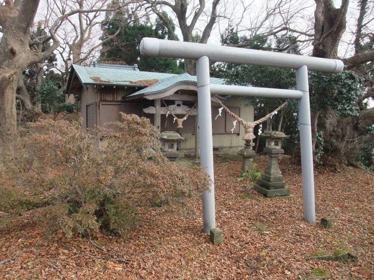
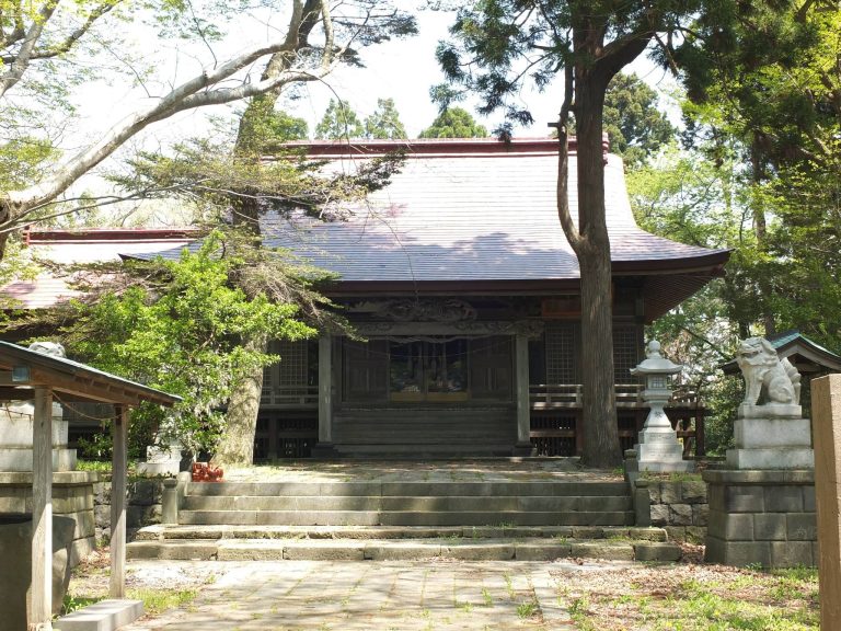
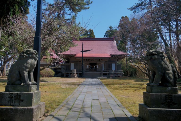
Other elements of the wider complex include Kiriyama Tenjin Shrine, Taho-in, and a tongue-shaped plateau between them where a former Andō-period administrative facility is thought to have stood. Across a ravine from Kiriyama Tenjin Shrine, this plateau forms part of the archaeological setting associated with the fortified residence. The complex is preserved principally as archaeological ruins, with its baileys and earthen ramparts providing the clearest surviving evidence of its defensive organization.