Hiruiōzuka Kofun: A Keyhole-Shaped Burial Mound in Gifu


Site at a Glance
- Rating
- 3.9
- Popularity
- Low
- Country
- Japan
- Primary era
- Classical
- External website
- Open
- Eras represented
- Classical
- Civilizations
- Yamato
- Site type
- Burial
- Remains
- Burial Mound
On this page18 sections
History
Hiruiōzuka Kofun is a large Kofun-period burial mound in Ōgaki, Gifu, Japan, built by regional chiefs around the end of the fourth century, at the beginning of the middle Kofun period. A kofun is a monumental Japanese burial mound dating broadly from the third to the sixth centuries. Hiruiōzuka was one of the principal tombs in the Fuwa Kofun Group and became an important monument for understanding political relationships between the Fuwa region, the wider Tokai area, and the Yamato polity.
A regional tomb at a strategic route
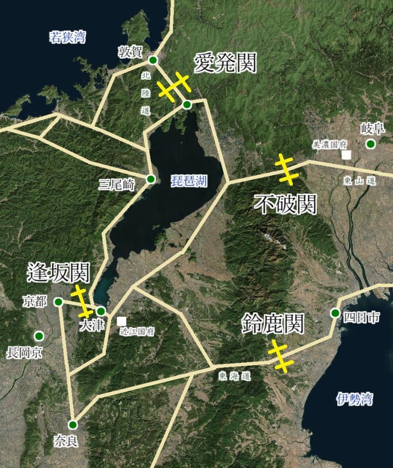
The mound stands on the western side of the Ibi River plain, along the route from Sekigahara toward the Nobi Plain. Its scale and burial contents are comparable to those of tombs built for great kings in the Kinai region, the historical core around present-day Nara and Osaka. This relationship points to the importance of the Fuwa region within wider networks of authority during the Kofun period.
These connections also relate to the development of the Yamato polity, the centralizing political authority that emerged in the Kinai region and extended influence across other parts of the Japanese archipelago. The size and arrangement of Hiruiōzuka Kofun provide evidence for examining how power was organized between local leaders and the wider political center.
Burial, looting, and archaeological investigation
Three burial facilities were deliberately planned within a single grave pit at the summit of the rear section. They represent three deceased persons and use three different forms of burial installation. The stone chamber was looted around 1879–1880, while the clay-lined facility and wooden-coffin burial remained intact as burial installations. Objects recovered during the looting are now held by the Tokyo National Museum.
The identities of the deceased remain uncertain. Historian Yoshiyuki Ibaragi proposed that one may have been Ōsu no Mikoto, traditionally regarded as a son of Emperor Keikō and an elder brother of Yamato Takeru, or another royal figure who later became the model for that tradition. This interpretation would connect the tomb with the extension of Yamato influence into Mino, although the identification is not established.
Local historians investigated the mound in the early twentieth century, followed after the Second World War by a survey conducted by the historian Koichi Mori. Nagoya University carried out the first excavation in fiscal 1979. The Ōgaki City Board of Education then undertook further excavations from 1994 to 1999 and from 2004 to 2006, clarifying the mound’s structure, burial arrangements, haniwa placement, and funerary activities.
Protection and presentation
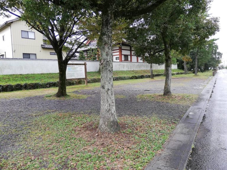
The former Akasaka Town designated Hiruiōzuka Kofun as a historic site in 1956. Gifu Prefecture gave it prefectural designation in 1998, and it became a National Historic Site of Japan in 2000. The designated area was expanded in 2014 and again in 2023. Preservation and site-improvement work carried out from 2009 to 2012 shaped its present presentation as part of Hiruiōzuka Kofun Historical Park.
Remains
Hiruiōzuka Kofun is a three-tiered, keyhole-shaped mound, or zenpō-kōen-fun, a form combining a circular rear section with a rectangular front projection. The front points southwest. The mound measures approximately 150 meters in length, with a rear section about 99 meters in diameter and 12 to 13 meters high. The front section is about 80 meters wide and 9.5 meters high. At this scale, it is the largest kofun in Gifu Prefecture.
Mound and surrounding moat
Earthwork and moat
A keyhole-shaped moat surrounds the mound, extending the monument’s total length to approximately 180 meters. It was excavated to a depth of up to 2 meters. Its basal width is about 11 meters at the northern end of the front section, 9 to 14 meters around the rear section, and 23 meters where the front and rear sections meet. Geophysical investigation suggests that a land bridge and an island-like feature once formed within the moat, although the details of these features remain uncertain.
Surviving earthwork
Residential development and other land alteration cut into parts of the mound and moat before excavation. The lowest mound tier and portions of the moat now lie underground, partly as a result of long-term agricultural activity, while housing development has encroached on the site. A section of the rear mound has been reconstructed to represent its presumed original appearance, with fukiishi and haniwa restored as part of the presentation.
Surface features and funerary objects
Haniwa rows and stone covering
Cylindrical haniwa stood in rows along the mound terraces. Haniwa are clay funerary objects placed on or around burial mounds. The slopes were covered with fukiishi, stones that protected the earthwork and formed a finished outer surface. The stones are river cobbles thought to have come from the nearby Ōtani River.
Figurative haniwa
Figurative haniwa represented houses, quivers, shields, umbrellas, armor, and people. Approximately 150 haniwa are thought to have stood in a circle about 20 meters across on the summit of the rear section. Investigations identified remains corresponding to seven house-shaped haniwa and six umbrella-shaped haniwa. Three haniwa coffins were also found near the southern junction of the front and rear sections, made from haniwa attributed to Hiruiōzuka Kofun.
Burial facilities
Pit-type stone chamber
The northern burial facility was a pit-type stone chamber, a below-ground chamber built within a pit and lined or constructed with stone. It was one of three installations placed within the same grave pit. The chamber was looted around 1879–1880, and associated finds included iron and steel swords, iron tools, jade beads, magatama, glass ornaments, pottery, and ritual offering goods.
Clay-lined coffin enclosure
The southern facility was a clay-lined coffin enclosure, in which a coffin was surrounded or covered with clay. It probably dates to approximately the same time as the stone chamber. Its placement within the shared grave pit formed part of the deliberate plan for accommodating three burials.
Wooden-coffin burial
The western facility was a wooden coffin placed somewhat later, on top of the clay covering over the first two installations. The grave pit was filled only after all three burials had been completed. The combined use of a stone chamber, a clay-lined coffin enclosure, and a directly deposited wooden coffin for three deceased persons is unusual among large keyhole-shaped mounds.
Funerary activity on the mound
Rear-section summit
Concentrations of talc beads, Haji ware, basket-shaped pottery, and clay objects representing food were found on the summit of the rear section. Haji ware is unglazed earthenware pottery made during the Kofun period. These materials are interpreted as evidence of funerary rites carried out on the summit before activity shifted to a projecting platform at the junction of the two mound sections.
Projecting platform
The later ritual setting was a tsukuridashi, a projecting platform or built extension at the junction between the rectangular and circular sections of a keyhole-shaped mound. Its association with the funerary materials helps trace a change in the location of ritual activity during the use of Hiruiōzuka Kofun.