Haze Nisanzai Kofun: A Keyhole-Shaped Burial Mound in Sakai, Japan


Site at a Glance
- Rating
- 4.2
- Popularity
- Low
- Country
- Japan
- Primary era
- Classical
- External website
- Open
- Eras represented
- Classical
- Civilizations
- Yamato
- Site type
- Burial
- Remains
- Burial Mound
On this page11 sections
History
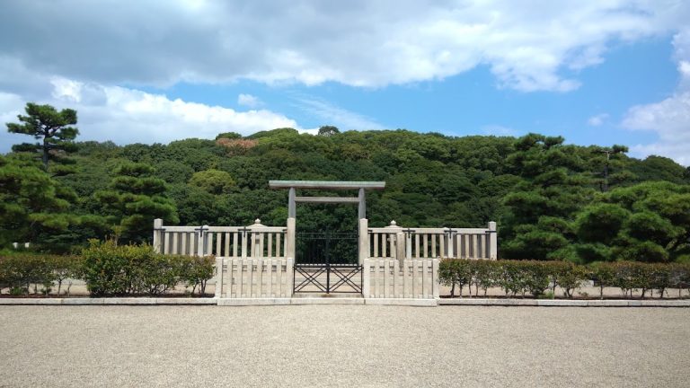
Haze Nisanzai Kofun is a large keyhole-shaped burial mound in Sakai, Japan, built during the second half of the fifth century in the Kofun period. A kofun is a monumental Japanese burial mound, and its keyhole form combines a circular rear mound with a broad, roughly square front section. Located at the southeastern edge of the Mozu Kofungun, the tomb is the latest in date among the group’s large mounds. Its original length exceeded 300 metres, reflecting the ability of powerful Kofun-period ruling groups to express authority through immense burial monuments.
Construction and Imperial Association
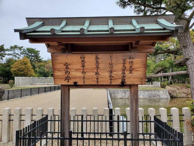
The person buried at Haze Nisanzai Kofun is unknown. The Imperial Household Agency administers the mound as the East Mozu Imperial Tomb Reference Site, a possible imperial burial place whose identification is not regarded as certain. An Edo-period history, the Senshu-shi, associated the mound with Hanzei, the conventional English name of the eighteenth emperor in Japan’s traditional imperial succession.
Tadeiyama Kofun nearby is officially identified as Hanzei’s tomb, but it is considerably smaller. Haze Nisanzai Kofun is about four times larger, and this difference has led to the proposal that the larger mound may be the tomb associated with Hanzei instead. The identification remains uncertain because historical records do not securely establish the occupants of most ancient burial mounds.
Names and Preservation
The name “Nisanzai” appears from the Meiji period onward. It may have developed through a phonetic change from misasagi, meaning an imperial mausoleum. An Imperial Household Agency document from 1902 used “Nisanzai,” while a publication from 1922 recorded the variant “Nisansai.” An earlier document from 1700 referred to the mound as a mausoleum.
The site was acquired for preservation because its size suggested a possible imperial tomb. A marker identifying it as a traditional imperial-tomb site was erected in 1886, and acquisition was completed in 1909. The Imperial Household Agency manages the mound, while Sakai City manages the surrounding moat. A third-order triangulation point, a surveyed control marker used for mapping and measurement, was installed on the summit of the front section in 1903.
Archaeological Investigations
Archaeological investigations around Haze Nisanzai Kofun have taken place from 1975 onward. They accompanied work connected with a cemetery, park development, utilities, embankments, and conservation planning. Between 1975 and 1998, part of the moat was filled to enlarge a cemetery built on the embankment beside the rear circular mound. As a result, the original outer shoulder of the inner moat lay farther outward than its present edge.
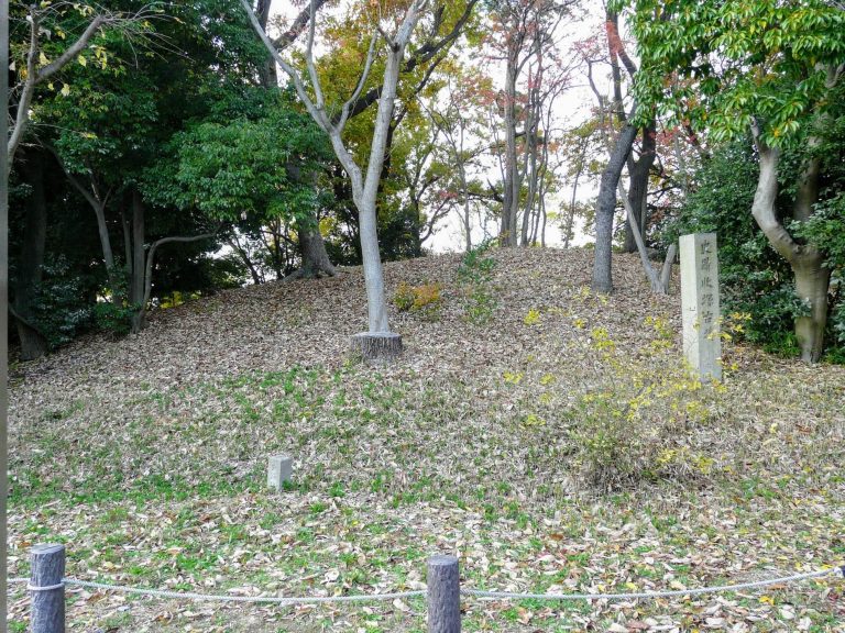
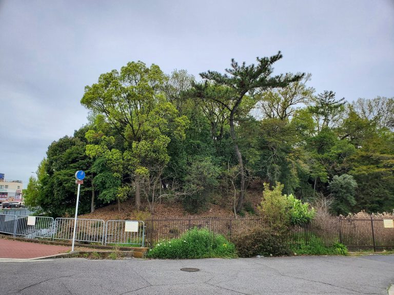
Aerial photography from 1942 showed five mounds around the tomb that appeared to be possible subsidiary tombs. Excavations in 2009 made it highly unlikely that three of the investigated mounds were kofun. Two other nearby kofun known from the archaeological record are no longer extant. One had produced a stone coffin in 1889, while the other was excavated in 1972. Haze Nisanzai Kofun also influenced the archaeologist Koichi Mori, who grew up in Sakai and questioned the reliability of traditional imperial-tomb identifications.
Investigations from 2012 to 2016 established that the original mound was larger than its surviving form and revealed evidence of a substantial temporary bridge across the moat. The bridge was probably used during a burial procession or related funerary ceremony and then deliberately removed soon afterward. The same investigations recovered large quantities of haniwa and wooden objects, adding evidence for the organization and performance of the tomb’s funerary rites.
Heritage Status
The moat became a Sakai City historic site in 2016. That status was lifted in 2019 when the inner moat became part of the national historic-site designation for the Mozu Kofungun. Haze Nisanzai Kofun is also a component property of the UNESCO World Heritage Site “Mozu-Furuichi Kofungun: Ancient Mounded Tombs of Japan,” registered in 2019.
Remains
Mound and Moat Layout
Haze Nisanzai Kofun has a keyhole-shaped mound with its square front section facing west. The monument was built in three stepped tiers and had a shield-shaped moat. Projecting platforms extend from both sides of the narrow junction between the front and rear sections. The present mound measures approximately 290 metres in length, while archaeological reconstruction places the original length at about 300.3 metres. The rear circular section was approximately 168.6 metres across in its original form, and conventional site measurements give a diameter of about 156 metres today. The front section is about 224 metres wide and is higher than the rear section, producing an unusually front-dominant shape.
A single moat now surrounds the mound, while parts of a second, outer moat have also been identified. The outer moat was cut into the natural ground. In several locations it had two levels separated by a flat surface, although the upper slope may instead represent the base of an embankment. If this arrangement belonged to the original construction, an outer bank may have surrounded the moat.
Outer Moat and Embankments
On the northern side, one excavation recorded an upper moat width of about 23.5 metres and a lower width of about 19 metres. Other northern investigations found a lower moat about 13 metres wide and at least 0.9 metres deep, while another area had an upper width of at least 16.2 metres, a lower width of no more than 10.8 metres, and a depth of 1.2 metres from the flat surface of the inner shoulder. On the southern side, the upper moat was about 18 metres wide. The lower section measured approximately 12 to 16 metres or more across and about 1.5 metres deep. Highly viscous clay deposits indicate that the moat probably held water.
The eastern side occupied higher ground than the northern, western, and southern sides. The medieval or early-modern raising of the embankments probably increased the moat’s water capacity. The resulting higher water level is thought to have accelerated erosion of the first mound terrace, helping to explain the smaller surviving mound. A natural-ground-cut section of the inner embankment, approximately 6 metres wide and 1 metre high, remains beneath more than 2 metres of earth added during the medieval or early-modern periods.
Haniwa and Excavated Materials
Mound paving stones and haniwa have been confirmed at the tomb. Haniwa are clay funerary objects placed on or around burial mounds. The outer moat and its embankments produced large numbers of cylindrical haniwa, including examples more than 40 centimetres in diameter, as well as morning-glory-shaped pieces and representations of houses, animals, and shields. Wooden components with mortises, Sue ware, Haji ware, black-finished earthenware, medieval ceramic ware, tile-textured earthenware, Haji-style earthenware, roof tiles, stone tools, and other stone objects were also recovered. Sue ware is a high-fired gray ceramic tradition, while Haji ware is a lower-fired earthenware tradition of ancient Japan.
Investigations beside the inner moat found a flat bottom apparently cut into the natural ground, deposits about 1.1 metres thick, collapsed paving stones, and large quantities of cylindrical haniwa. Chicken-shaped and house-shaped haniwa, umbrella-shaped objects, and bird-shaped wooden objects were also found. Between September 2012 and February 2016, four investigation areas covering 457, 49.3, 110, and 255 square metres produced 148 storage containers of material. Sixty-six contained wooden objects, timber, and wood fragments, while most of the remaining 82 held haniwa, ceramics, roof tiles, stone tools, and stone objects.
Temporary Funerary Bridge
The bridge evidence consists of seven transverse rows of postholes extending between the rear mound edge and the moat embankment. Thirty-five postholes were recorded. Most of the posts had been removed, while surviving examples were made from kunugi or abemaki oak. The rows were aligned deliberately with the central axis of the mound, which passed between the third and fourth rows.
If the post rows extended from the top of the inner embankment to the first mound terrace, the bridge would have been about 12 metres wide and 55 metres long. The preserved evidence indicates a length of at least 45 metres. Its size and alignment suggest that it served an important purpose, such as carrying a coffin across the moat, rather than providing ordinary access. Despite moat conditions that favored the preservation of wood, few bridge components survived, indicating deliberate dismantling, probably immediately after the funerary rite.
Conservation of the Mound Edge
Long-term wave action in the moat undercut the foot of the mound. In 2014 and 2015, the Imperial Household Agency carried out bank and slope protection using a reversible reinforced-soil-wall method intended to conserve the surviving form rather than reconstruct it. The work avoided archaeological remains, used stone differing in rock type from the original paving stones, and was designed to limit its visual impact. The paving stones themselves came from southern Osaka and from the foothills of Mount Rokko near Kobe.
Nearby sites