Guwashōbō Kofun: A Fifth-Century Burial Mound in Sakai, Japan
Site at a Glance
- Popularity
- Low
- Country
- Japan
- Primary era
- Classical
- Eras represented
- Classical
- Civilizations
- Yamato
- Site type
- Burial
- Remains
- Burial Mound
On this page7 sections
History
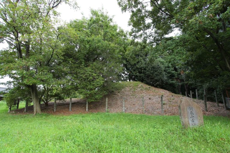
Guwashōbō Kofun is a Japanese burial mound in Sakai, Osaka, Japan, built in the second half of the fifth century as part of the Mozu Kofun Group, a cluster of ancient burial mounds. The Japanese term kofun refers to a burial mound, especially one built for an elite burial during the large-tomb era, about the third to seventh centuries CE.
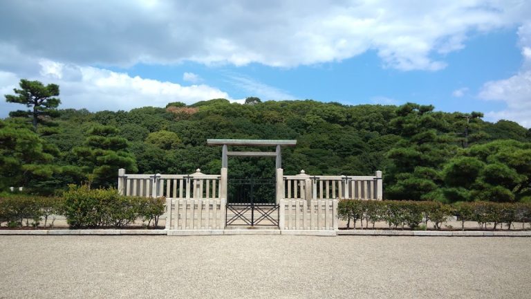
Although it lies between two major tombs and immediately east of another, Guwashōbō is considered an independent tomb rather than a subsidiary mound. Among the group’s circular tombs, it is the second largest, after a mound regarded as a subsidiary of the group’s largest tomb.
Name and archaeological investigation
Maps from 1897 and 1915 used an earlier written form of the tomb’s name, thought to have developed into Guwashōbō; the earlier name’s origin is unknown. A Sakai City Board of Education survey document from 1965 used another spelling, and the present form came into use in 1972. Aerial photographs from 1942 showed field ridges around the mound, interpreted as possible traces of its moat. A preliminary excavation during park improvements around 1975 was believed to have found a boundary between moat fill and natural terrace soil, but the boundary’s location and detailed findings are not known.
A three-dimensional survey in 2006 established the mound’s precise dimensions. From 10 to 18 September 2007, an excavation examined part of its slope and opened eight trenches outside the moat to help define the proposed historic-site boundary, estimate the earthworks’ volume, and investigate buried remains. Ground-penetrating radar, which uses radar signals to examine features underground without extensive excavation, was used from 20 February to 28 March 2008 to assess the moat’s extent and preservation and investigate mound fill and buried pipes. Further excavation took place on the mound and beyond the moat that year.
On 18 March 2014, Guwashōbō became part of Japan’s National Historic Site designation for the Mozu Kofun Group. The designation brought together seven previously designated tombs and added ten more, including Guwashōbō, under the group’s name. The group comprises 19 tombs.
Remains
Mound form
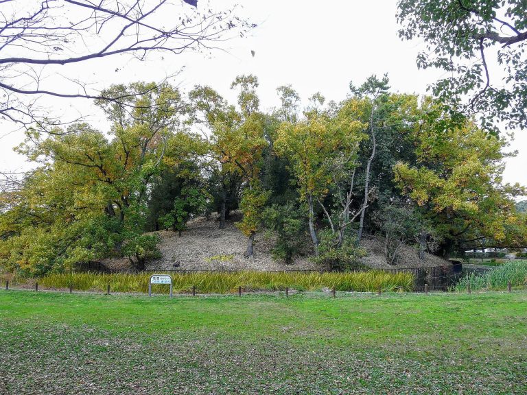
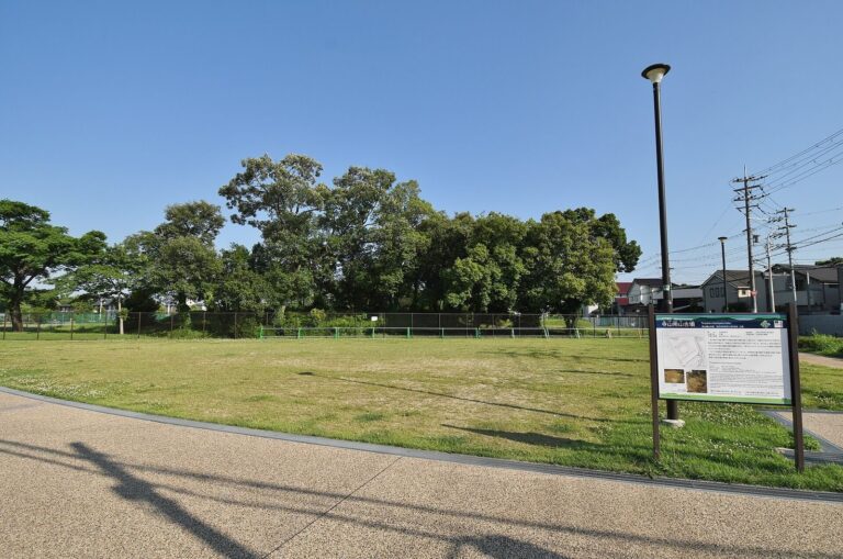
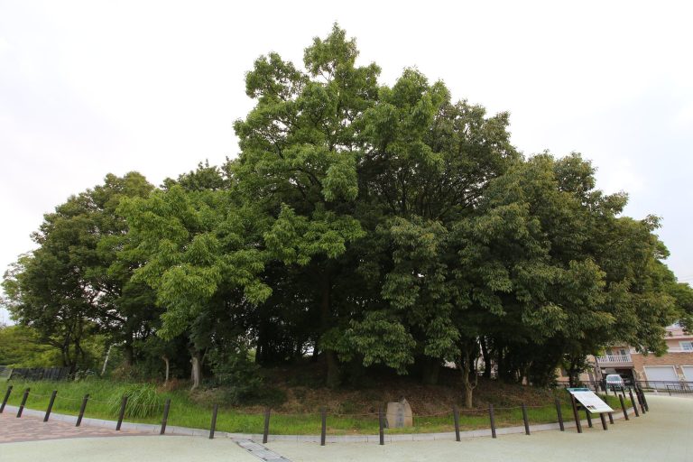
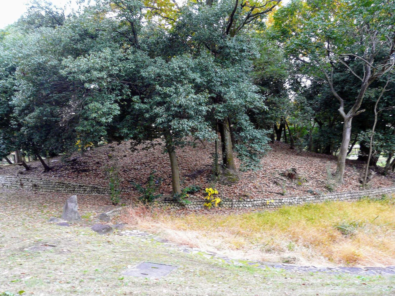
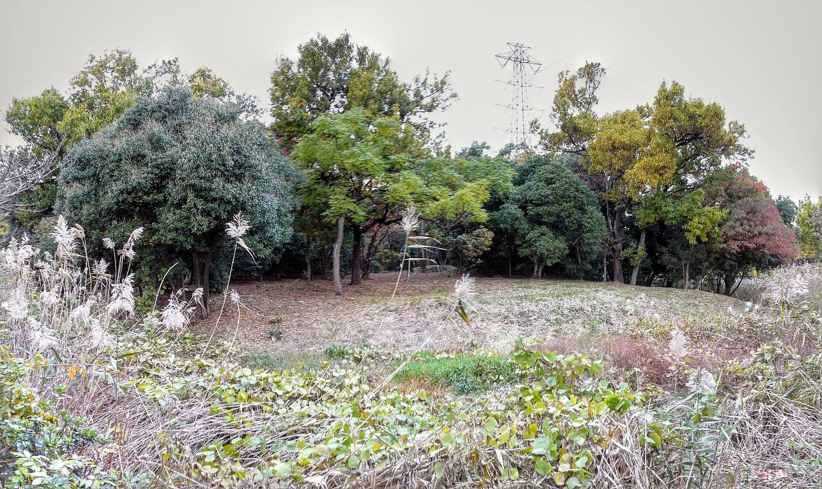
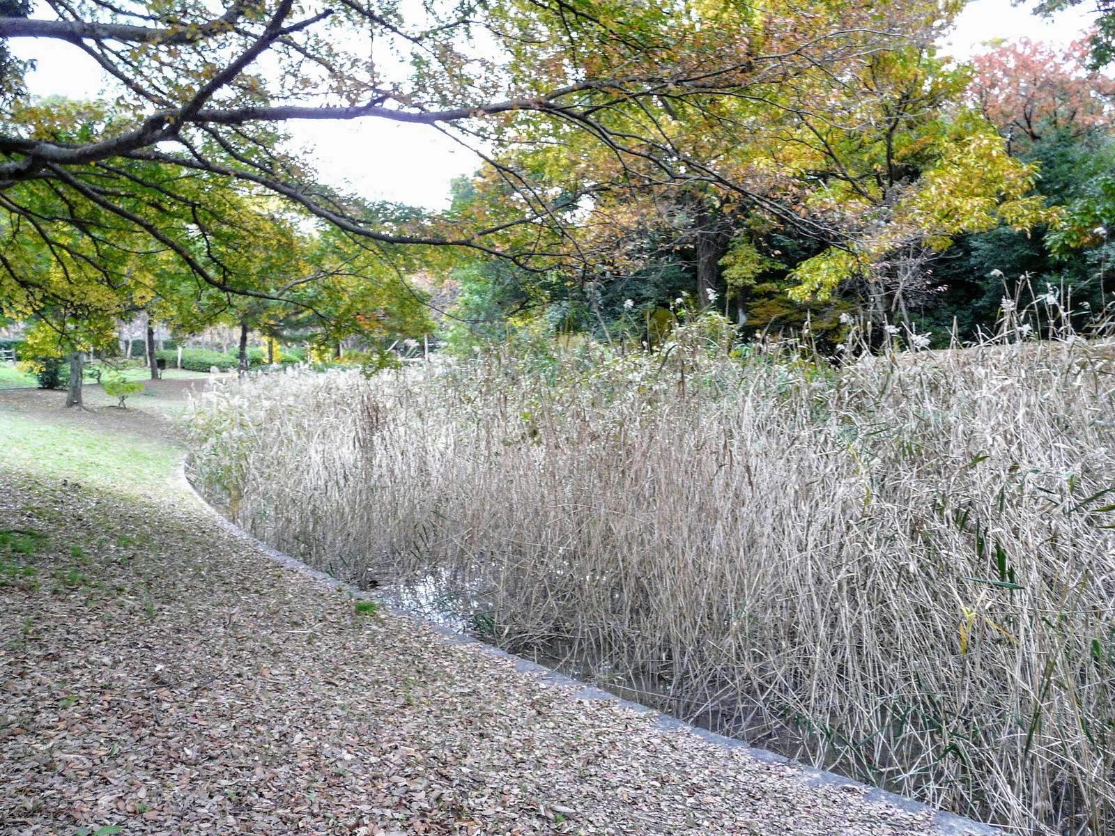
Set within a park, the mound is elliptical, with a projection on its west side. It measures 61 m from east to west, 56 m from north to south, and 3.7 m high. It is thought to have originally had two tiers, but its upper part has been flattened. At least 3 m of the mound has been cut away since the Edo period (1603 to 1868).
Mound fill and excavated objects
In 2007, removing surface soil exposed alternating layers of brown and white gravel-bearing silt and clay. A haniwa, a clay object placed on or around a burial mound, recovered from the surface soil was heavily worn on both sides. Excavations also recovered stones used to face the mound and a miniature iron hoe.
Moat and surrounding deposits
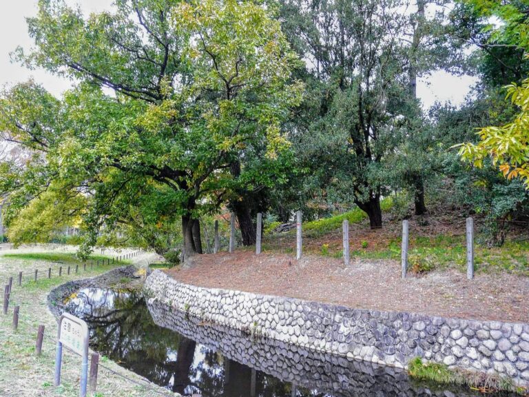
A moat once surrounded the mound. The moat laid out in the park today begins at the mound’s foot and does not reproduce the original form; grass and trees grow beyond it. At the bottom of trench 6, a brown soil layer sloping toward the mound may mark the moat’s shoulder. It contained haniwa, Sue ware, a high-fired pottery, and Haji ware, generally lower-fired earthenware, which helped date the tomb. In trenches 16 and 17, natural terrace deposits sloped toward the mound, while ground on the opposite side had been cut away, leaving its earlier profile uncertain. Old cultivated soil remained in trenches 8, 10, and 15, although park construction may have leveled the ground in trenches 8 and 15.
Vegetation
Trees growing on the mound have been studied by the Sakai Plant Enthusiasts’ Association, which has published its findings.