Tatsusayama Kofun: A Fifth-Century Burial Mound in Sakai, Japan
Site at a Glance
- Popularity
- Low
- Country
- Japan
- Primary era
- Classical
- Eras represented
- Classical, Modern
- Civilizations
- Japanese, Yamato
- Site type
- Burial
- Remains
- Burial Mound
On this page9 sections
History
Tatsusayama Kofun is a Japanese burial mound in Daisen Park, Sakai, Osaka, Japan, probably built in the latter half of the fifth century, perhaps near its end. It belongs to the Mozu Kofun Group, a cluster of ancient burial mounds in the Sakai area, and is considered a smaller tomb associated with Daisenryo Kofun. Daisenryo is identified as the mausoleum of Emperor Nintoku, traditionally counted as Japan’s 16th emperor, although details of his life are uncertain. Tatsusayama’s proposed connection rests on its position and alignment. Its date is also inferred from haniwa, clay objects associated with tombs, found in the moat. Some of these are considered later than material from Daisenryo.
By the early eighteenth century, the moat had been filled and the surrounding land was shown as paddy fields. Field boundaries were still understood as traces of the former moat. Road widening north of the mound, between the latter half of the 1960s and the first half of the 1970s, brought the northern section of the moat to attention. Where a new footpath crossed it, the path was built as a bridge so the archaeological remains could stay buried beneath it.
Investigations continued as development plans prompted archaeological work. In 1984, thirteen test trenches were opened around the mound and moat ahead of planned improvements to Daisen Park. Two more trenches were dug outside the moat beside the mound’s front section on September 10, 2007, to help establish boundaries in preparation for a proposed historic-site designation of the Mozu Kofun Group and to assess the archaeological deposits. From June to September 2008, ground-penetrating radar was used to examine the mound’s extent, terrace deposits, and fill.
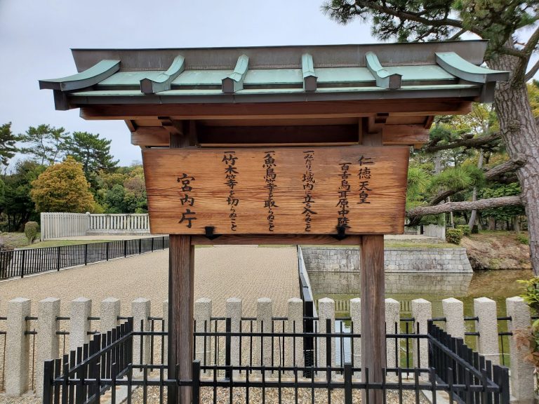
Most of Tatsusayama Kofun is managed by the Imperial Household Agency as detached plot Ro among the subsidiary mounds associated with the Nintoku Mausoleum. Sakai City manages the mound’s foot and the moat. The moat became a Sakai City historic site in 2016, and in 2019 the mound was included in the UNESCO World Heritage property Mozu-Furuichi Kofun Group: Mounded Tombs of Ancient Japan.
Remains
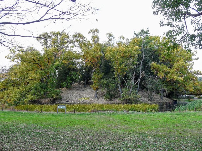
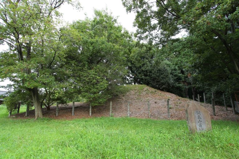
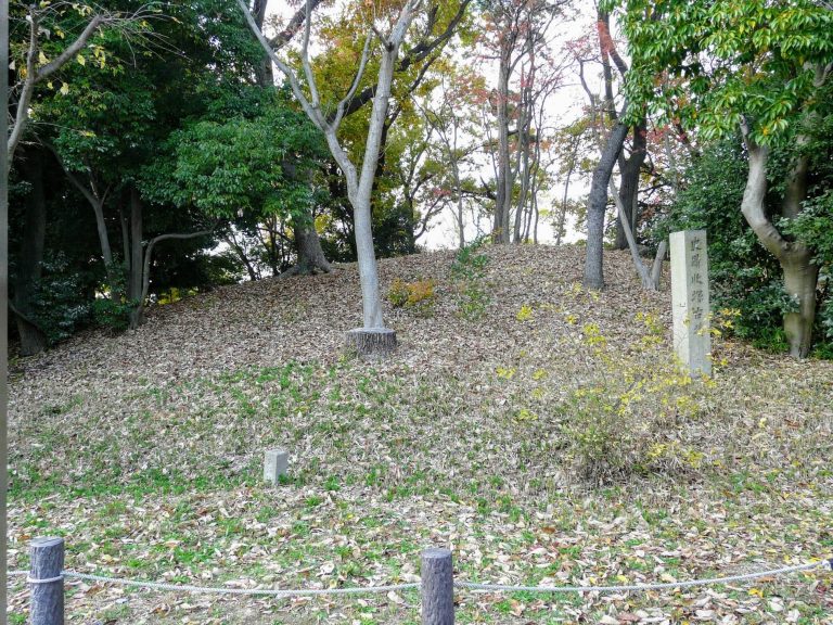
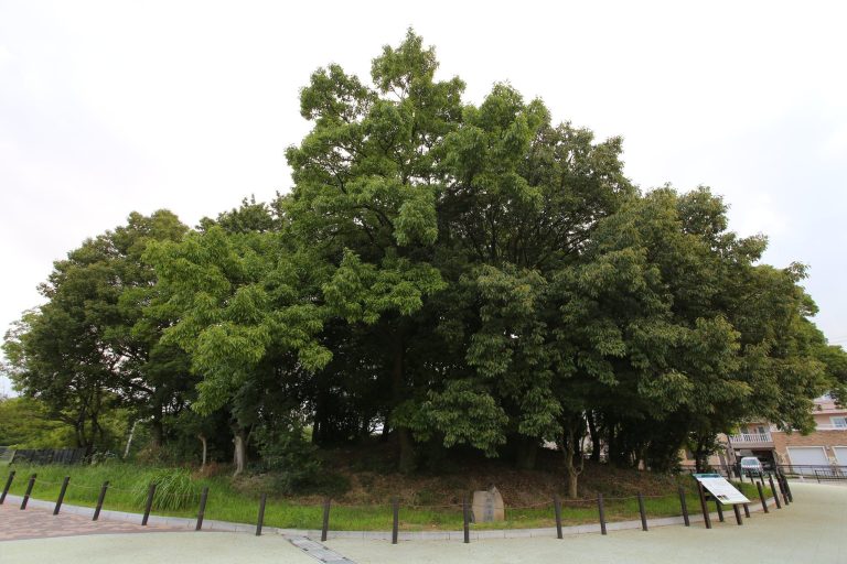
The site is arranged as a rounded rear mound joined to a smaller projecting front section, forming a scallop-shaped keyhole plan. The mound stands near the southern outer moat of Daisenryo Kofun and west of another burial mound. Its front faces west, and its main axis runs parallel to Daisenryo’s southern outer moat.
Mound and moat
Mound
The mound measures 61 metres in length. Its rounded rear section is 43 metres across and 8 metres high, while the front section is 26 metres wide and 2 metres high. The rear was constructed in two tiers. A projecting feature may have stood on the north side where the front and rear sections meet.
Moat
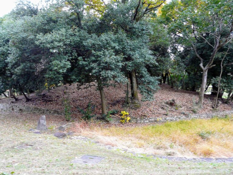
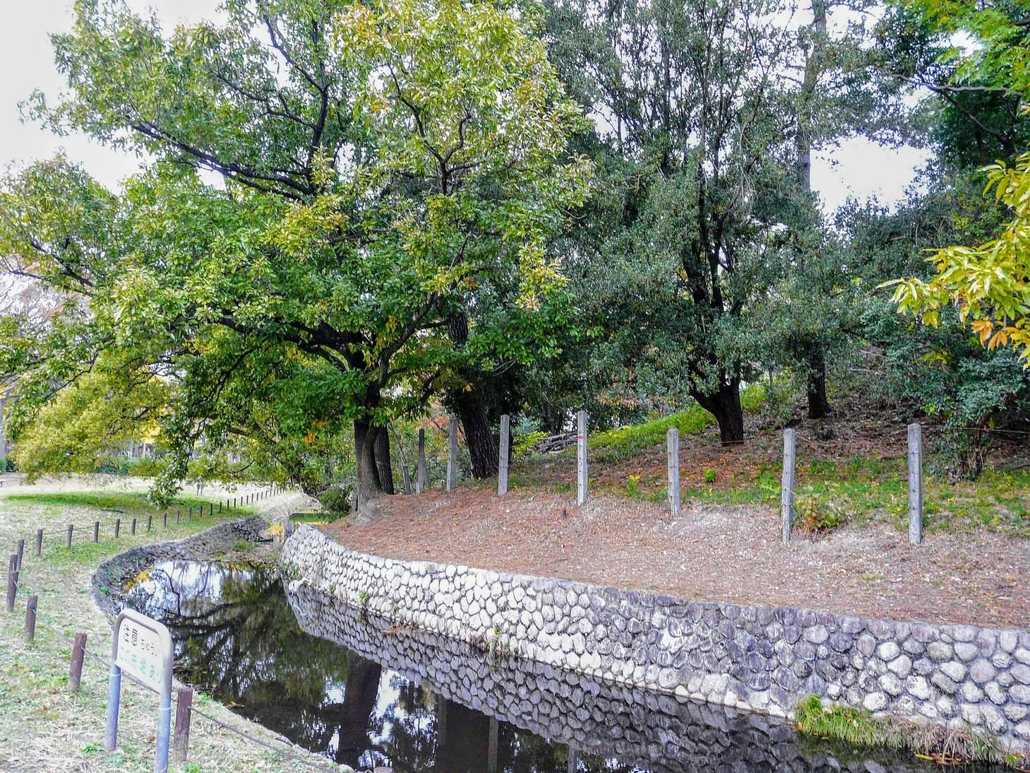
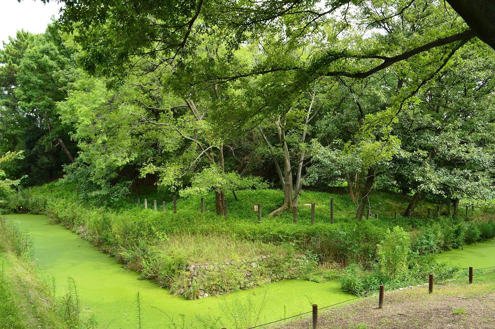
Excavation indicated that the moat was about 10 metres wide. The visible moat was reconstructed using boundary-survey findings from the development of Daisen Park, then stabilized with stonework and concrete; the original moat remains underground. At the northwest corner of the front section, evidence also points to an earth causeway crossing the moat. Excavation showed that the moat’s outer shoulder had been cut into natural ground.
Excavation evidence
1984 excavations
In the first trench, fallen mound-covering stones and cylindrical haniwa, tube-shaped clay objects associated with tombs, were recovered from the moat. The second trench yielded similar stones and objects on the mound side, together with a rise in natural ground interpreted as the mound’s foot. A projection investigated in the third trench consisted of recent fill over clay thought likely to be cultivated soil, above natural ground; disturbance below it showed that part of the moat bottom had been cut. Trenches four to six also revealed disturbance at the mound’s foot and cuts into the moat bottom.
The seventh trench exposed the mound’s foot and five organic layers beside the moat, with concentrations of fallen covering stones and cylindrical haniwa. Trenches eight to ten showed mostly level natural ground. Within the moat near its northwest end, a rise in natural ground may indicate a structure. Trenches eleven to thirteen yielded covering stones and cylindrical haniwa at the mound’s foot. The stones followed different directions; some in trenches eleven and twelve may have shifted from their original positions, while those in trench thirteen were better preserved, though the lowest course was disturbed. Finds associated with the mound also include umbrella-shaped haniwa, formed like a canopy.
2007 trenches
The trenches outside the moat revealed terrace deposits beneath old cultivated soil or park fill. One trench’s fill contained ceramics from Korea’s Joseon dynasty, early Imari ware, an early Japanese porcelain, and brown soil resembling burnt earth. The fill may have come from archaeological deposits belonging to Sakai’s former moat-enclosed city. The moat bottom lay at nearly the same level as the exposed terrace deposits, suggesting that its fill remains in place.
Radar survey
Radar results placed the original outer edge of the moat beyond the present reconstructed edge northeast and southwest of the rear mound, but inside it in other areas investigated. West of the front section, reflections within fill extending to a depth of 2 metres were attributed to construction debris, including concrete and metal, indicating poor preservation of archaeological remains there.