Megalithic Tombs near Wehrland: Neolithic Burial Monuments in Germany
Site at a Glance
- Popularity
- Very Low
- Country
- Germany
- Primary era
- Stone Age
- Eras represented
- Stone Age
- Civilizations
- Unclassified
- Site type
- Burial
- Remains
- Necropolis
On this page13 sections
History
The Megalithic Tombs near Wehrland are a group of Neolithic burial monuments in Mecklenburg-Vorpommern, Germany, associated with the Funnel Beaker culture and broadly dated to 3500–2800 BCE. The Funnel Beaker culture was a farming society of northern and central Europe, named for its characteristic pottery. The Neolithic was a period when communities increasingly relied on agriculture and continued to use stone tools. The original total was estimated at 18 or 19 tombs, with destruction during the nineteenth century probably accounting for losses.
Nineteenth-century inventories
Friedrich von Hagenow sketched the tombs in the 1820s as part of a planned inventory of megalithic graves on Rügen and in Western Pomerania. Rudolf Baier published Hagenow’s notes in 1904, including the entries for Wehrland.
Twentieth-century surveys
Ernst Sprockhoff visited the site on 17 August 1931 while preparing an atlas of German megalithic tombs. Using a topographic map, he counted three surviving graves. In the 1970s, Ewald Schuldt identified six survivors and proposed a total of 19, drawing on Hagenow’s inventory, which listed 18. Later field surveys identified three further surviving tombs.
Remains
Layout and forms
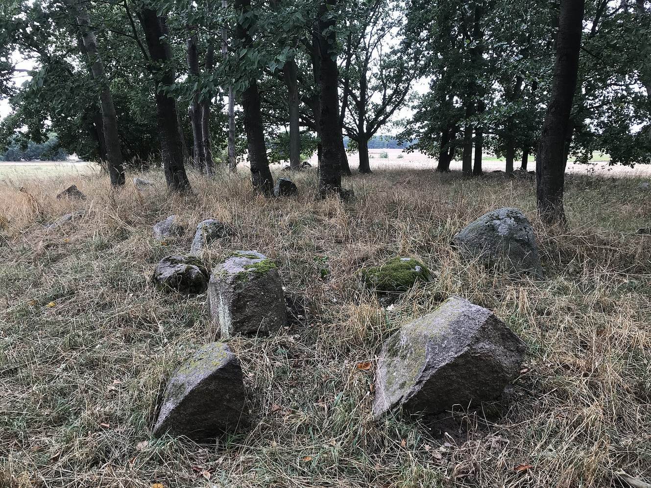
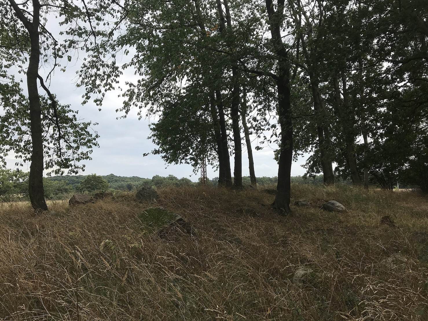
Nine tombs survive. Graves 1–5 stand a few metres apart just beyond Wehrland’s southwestern end, beside Zum Hünengrab road. Grave 6 lies 720 m east of this group; Grave 7 is nearly 70 m southeast of Grave 6. Grave 8 lies 200 m southwest of Grave 7, and Grave 9 a further 60 m southwest. The remains include long earthen mounds, stone enclosures, and dolmens, burial chambers built from large stones. Hagenow classified 13 tombs as great dolmens, a larger dolmen type, and five as rectangular or trapezoidal long-mound structures. The destroyed tombs were probably mostly simple great dolmens.
Mounds and burial chambers
Grave 1
Grave 1 has a northeast-to-southwest long mound measuring 44 m. It narrows from 6 m wide at the northeast end to 4 m at the southwest. Part of its stone boundary survives. In 1931, Sprockhoff counted 12 stones along the northwest side, 17 along the southeast, three at the northeast end, and two at the southwest end. Holes are visible at the northeast end, where he placed a burial chamber. Its form remains uncertain: it may have been a dolmen or a smaller chamber not built from large stones.
Grave 2
Grave 2 is aligned northeast to southwest. A mound beneath it measures 75 m long, 16 m wide, and 1.5 m high; the long mound upon it is 4–5 m wide. Sprockhoff counted 24 stones along its northwest side and 22 along its southeast side.
Grave 3
Grave 3 stands on a mound 57 m long and 10 m wide. Its trapezoidal long mound runs northeast to southwest, measures 26 m long, and is 7 m wide at the northeast end. The southwest end is estimated to have been 4.5 m wide. A badly damaged chamber crosses the northeastern half of the mound and is probably a great dolmen. It measures 3.5 m by 1.3 m; two wall stones remain along its southwest long side.
Grave 4
Grave 4 has an oval mound aligned north to south, with a few visible stones from its burial chamber.
Grave 5
Grave 5 has a round mound. A few stones are visible, and Schuldt classified the tomb as a great dolmen.
Grave 6
Grave 6 is marked by an elongated mound bearing several large stones. Schuldt classified it as a great dolmen.
Grave 8
Grave 8 occupies a mound covered with trees.