Geyersburg: A Medieval Spur Castle Ruin in Germany


Site at a Glance
- Rating
- 4.3
- Popularity
- Very Low
- Country
- Germany
- Primary era
- Medieval
- Eras represented
- Medieval
- Civilizations
- Holy Roman Empire
- Site type
- Military
- Remains
- Castle
On this page7 sections
History
Geyersburg is a medieval spur-castle ruin in Germany, built in 1391 by the influential Feldner family, one of the old patrician lineages of Hall. A spur castle was a fortified site placed on a projecting ridge, using steep natural slopes as part of its defenses. The castle occupied a strategic position above the Kocher Valley and became part of the network of properties controlled by Hall’s politically and economically influential urban elite.
Feldner and Münkheim ownership
In 1402, Hans Feldner, also known as Geyer, was mentioned in connection with Ulrich von Hohenlohe and the fief of Geyersburg. A fief was a fortified property or estate granted by a superior in return for service or allegiance. The castle later came into the possession of the city of Hall, which sold it to Rudolf von Münkheim in 1406.
Rudolf von Münkheim belonged to Hall’s urban nobility. Financial difficulties caused him to lose the castle, after which it passed as a fief to other patrician families of Hall. These changes connected Geyersburg with the political and economic structures of the city’s ruling families.
Decline and refuge
The precise cause of Geyersburg’s ruin is uncertain. It may have been destroyed, or it may simply have fallen into decay. The extinction of the Münkheim family in 1507 further reduced the castle’s importance.
During the South German peasant uprisings of the 1520s, part of the wider German Peasants’ War, the castle was known temporarily as Gartenheuslin and served as a refuge for a band of peasants. The ruin was renovated in 1982.
Remains
Ridge setting and approach
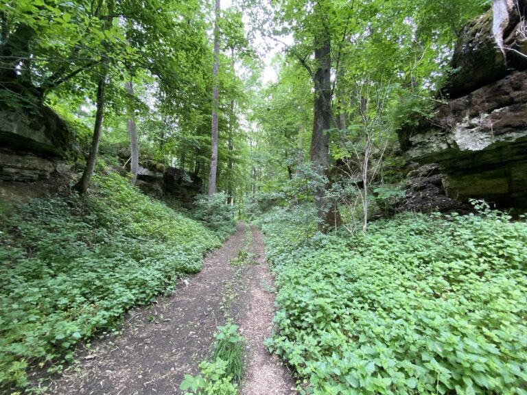
Geyersburg stands on a narrow ridge about 320 metres above sea level, on the left side of the Kocher Valley near the southern boundary of Untermünkheim. The ridge extends roughly 500 metres toward the east-northeast before narrowing away. To the southeast, the wooded Eichelhalden slope descends toward the valley floor at about a 30 percent gradient. Its lower area retains remains of vineyard walls. To the north, the ground drops more gradually toward the Fohlenweide, a terrace formed by an earlier western bend of the valley. The hamlet of Sülz, belonging to Schwäbisch Hall, lies just under one kilometre southwest and provides the easiest approach to the ruin.
Defensive works
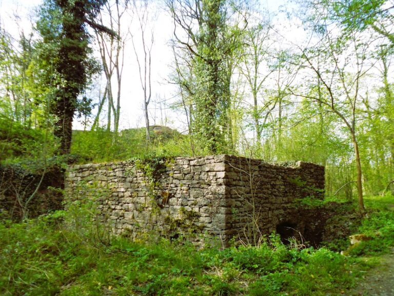
The castle’s defenses made use of the ridge and included cross ditches cut across the approach, together with a shield wall protecting a vulnerable side. A shield wall was a particularly strong defensive barrier, while a ring wall enclosed the castle complex. Remains of the surrounding wall survive. The ruins of Neuburg lie about 700 metres southeast, across the Kocher on the Neuberg, a hill associated with the river’s western bend. Lindenhof farmstead occupies the middle of the Fohlenweide terrace, about 400 metres north of Geyersburg and around 20 metres above the present valley floor.
Residential tower
The principal surviving structure is a partly preserved three-storey residential tower built of shell-limestone masonry. Shell limestone is a fossil-rich sedimentary stone widely used in southern Germany. The tower has an octagonal ground plan and walls approximately 1.5 metres thick. A stone staircase leads to its basement. Slit-like openings remain visible in the outer wall, while the upper floor retains large rectangular windows with niches designed as window seats.
Nearby sites