Fort de l’Infernet: A French Alpine Frontier Fort
Site at a Glance
- Popularity
- Medium
- Country
- France
- Primary era
- Modern
- Eras represented
- Modern
- Civilizations
- French
- Site type
- Military
- Remains
- Fort
On this page20 sections
History
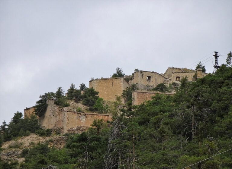
Fort de l’Infernet, about four kilometres east of Briançon in France, was a mountain stronghold guarding the approach to the town. French forces built it from 1876 to 1878 as part of the Séré de Rivières system, a French network of forts associated with military engineer Raymond Adolphe Séré de Rivières. It formed part of Briançon’s defenses, protecting the Italian frontier and commanding the Durance valley approach. The frontier crossed the Col de Montgenèvre, while Fort du Gondran stood closer to Italy.
Construction and armament
From 1878 to 1880, builders added the 800-metre Mur de Serre des Armes, an infantry position intended to prevent an enemy from bypassing the fort from the north. The fort was designed for a garrison of 210 and 16 artillery pieces. Between 1878 and 1881, its main armament comprised five 138 mm guns, seven 155 mm guns, and four mortars: two of 220 mm and two of 150 mm. A separate battery had six more 138 mm guns. In 1893, two of the 155 mm guns were replaced with 95 mm guns.
Changes before the First World War
Two mule-powered aerial lifts were installed between 1878 and 1894, linking the fort with Fort du Randouillet and the Gondran ridge. A telegraph connection followed between 1900 and 1914. Modernization schemes proposed in 1900 and 1908, including work to reinforce the fort with concrete, were not carried out.
For 1914, plans allowed for 466 men at the fort, 103 at the Mur de Serre des Armes, and 33 at the newly added artillery position at La Seyte. At mobilization, the fort’s garrison numbered 431, with some men quartered at La Cochette. Italy joined the Allied side in May 1915. The fort’s guns were then gradually sent to the northeastern French front, and by 1916 the fort had been disarmed.
Wartime service and abandonment
The fort remained unoccupied until 1940, although it was maintained amid political tensions. During the Battle of the Alps in June 1940, four French 280 mm Schneider mortars at Poët-Morand and Eyrette, below and behind the fort, fired on the Italian fortification on Mont Chaberton. Its eight large-calibre guns threatened Briançon, 17 kilometres down the Durance valley. Over several days, six of the eight gun turrets were put out of action. Lieutenant André Miguet commanded the French artillery operation, which was a technical success. Italian artillery also shelled Fort de l’Infernet, but it suffered no major damage and served as a backup position in the Alpine Line, France’s frontier defense system in the Alps.
The name Infernet is understood to shorten the French Petit Enfer, meaning Little Hell, a reference to the ridge’s exposure to lightning. The fort is now abandoned.
Remains
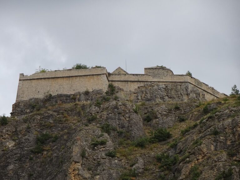
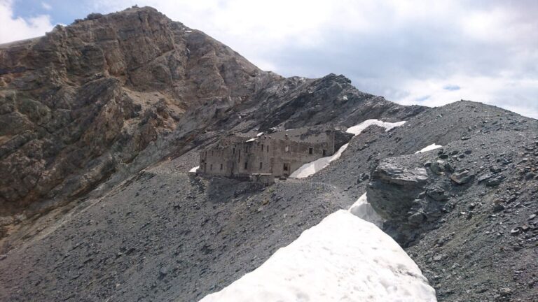
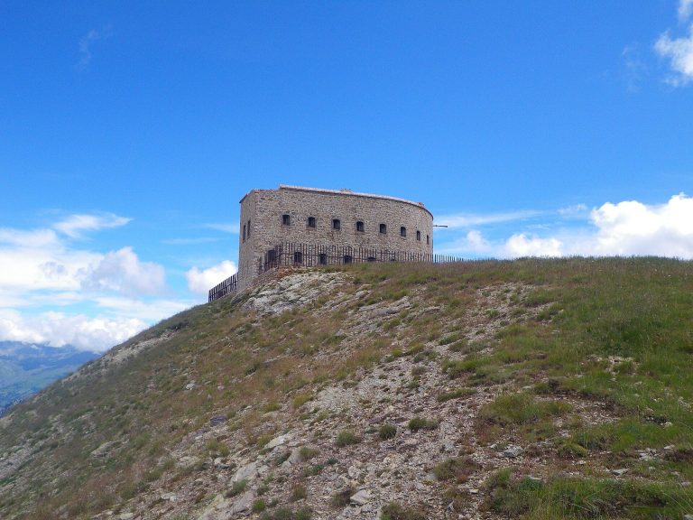
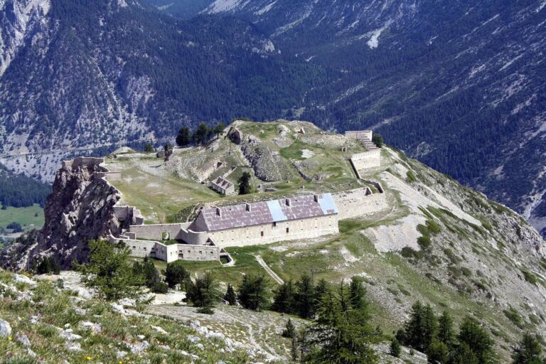
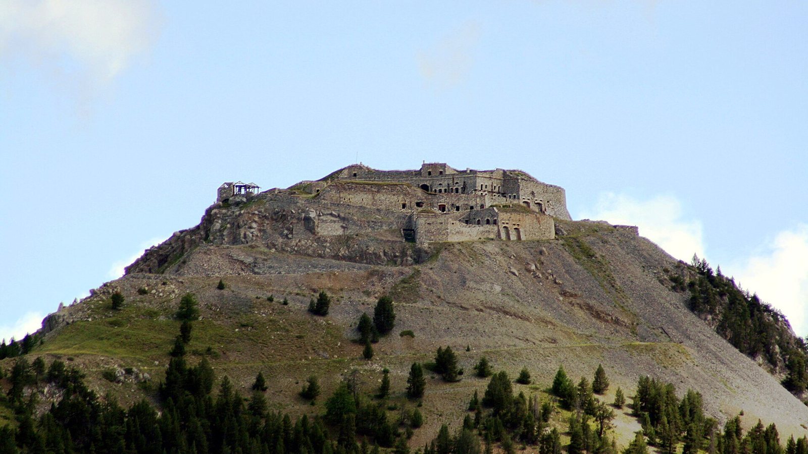
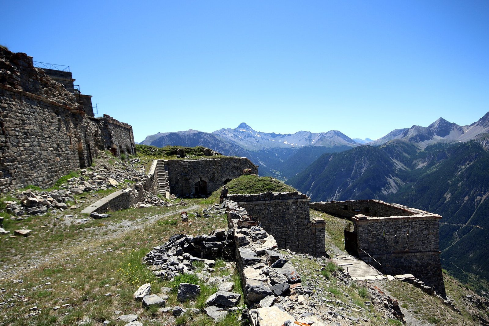
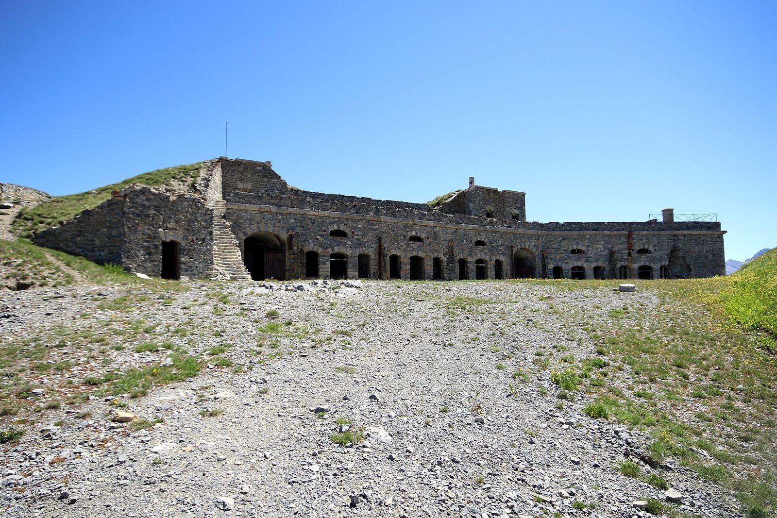
At 2,377 metres above sea level, the fort occupies the westernmost rocky spur of the Crête du Gondran, a ridge extending from the Sommet des Anges. Its roughly hexagonal stone plan reaches a maximum of 140 metres across, though the steep, exposed ground interrupts the outline in several places. It was the last French fort built in cut-stone masonry. The position overlooks the eastern and northeastern approaches to Briançon, while wooded slopes descend towards the Cerveyrette, which joins the Durance south of the town.
The fort
Plan and entrance
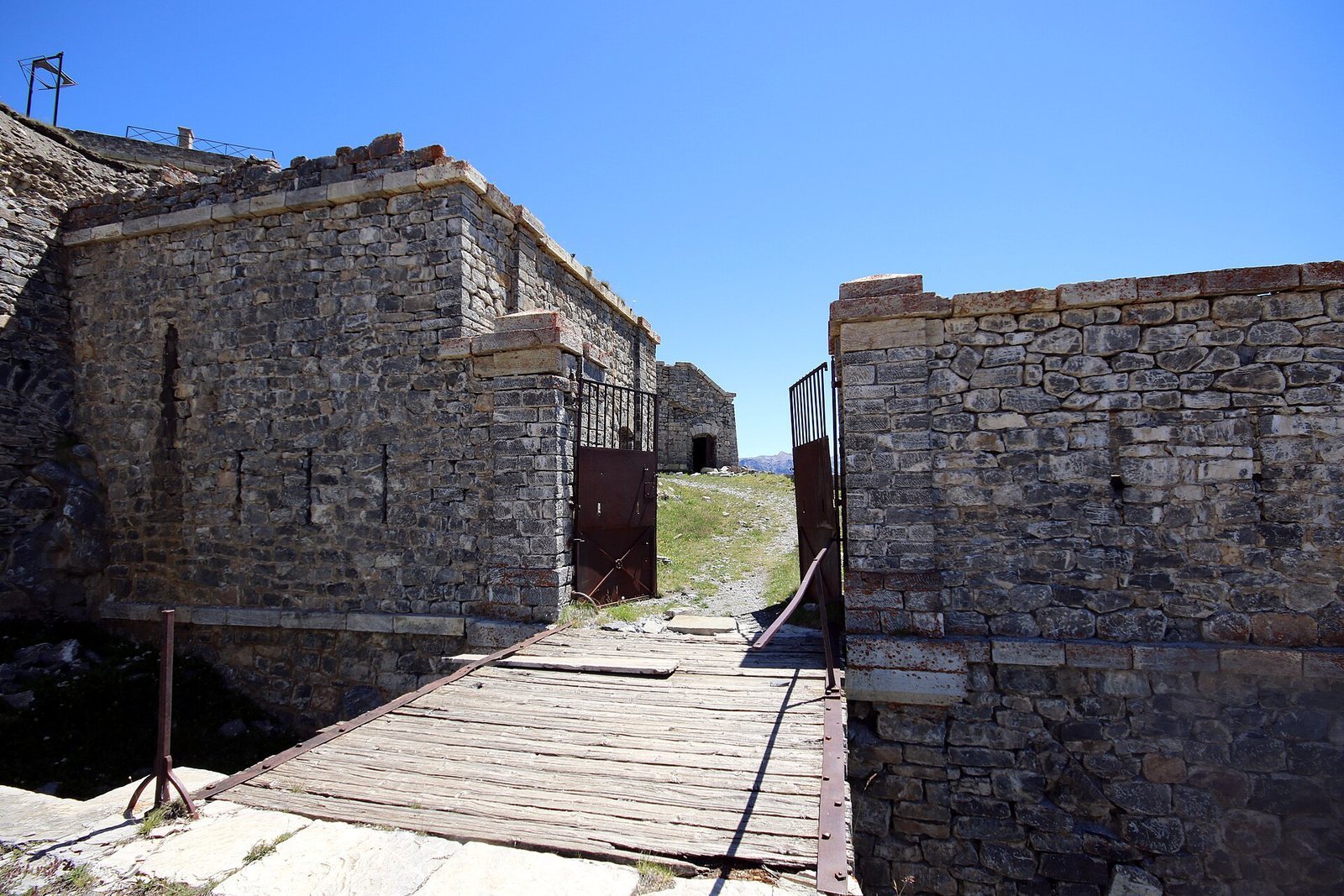
The northwest entrance sits between two projecting piers and was preceded by a removable bridge. A guardhouse immediately inside on the right retains bed frames. From the entrance, a route climbs through two hairpin bends towards the summit courtyard. The fort also has offset foundations, a feature shared with Fort de Joux.
Courtyard and gun positions
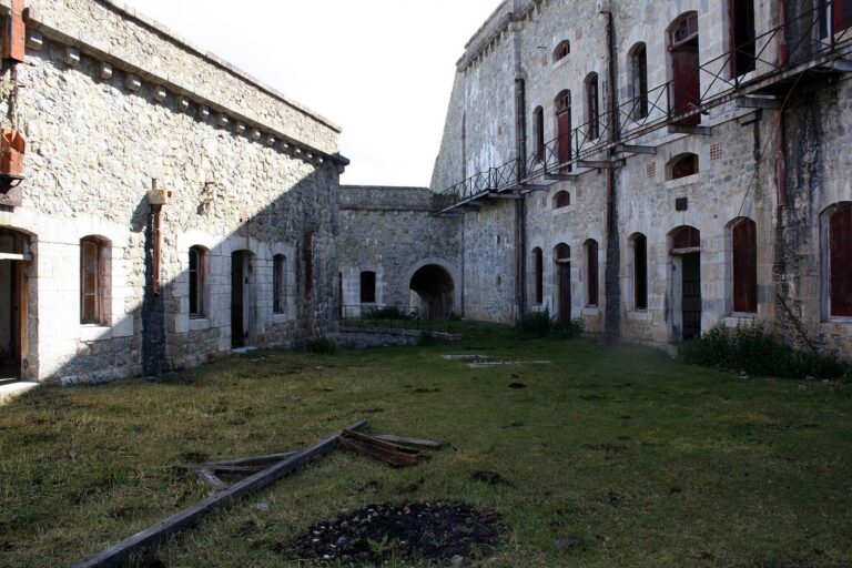
On the entrance axis, a one-storey building is topped by two artillery platforms with small concrete recesses. The route passes the internal powder magazine before reaching the large courtyard. A one-storey, five-bay troop barracks bounds the courtyard on its eastern side; its ends angle slightly inward rather than meeting the courtyard in a straight line. Above the barracks, an artillery cavalier, or raised gun platform, had one single and one double traverse, protective barriers intended to shield guns or troops. Infantry positions extended along the western front below and in front of the cavalier.
Internal powder magazine
The magazine inside the fort held 80 tonnes of black powder. Two openings were cut into its left flank, which faced away from the presumed direction of attack.
Outer defenses and support areas
Mur de Serre des Armes
North of the fort, the masonry infantry position extended for 800 metres, protecting against an approach around the northern side. Its long line formed a separate defensive work within the fort’s wider position.
Hillside powder magazine
A second magazine was excavated into the hillside southwest of and below the fort in 1890 and 1891. It principally supplied Fort du Gondran.
La Cochette and La Seyte
La Cochette, a saddle on the Gondran ridge east of the fort at 2,200 metres, contained 15 long, single-storey barrack buildings with space for 1,500 men. La Seyte was a barracks area at a lower elevation.
Water and transport
Water cisterns supported the fort’s infrastructure. The two aerial lifts connected it with Fort du Randouillet and the Gondran ridge, providing links across the mountain position.
Equipment and commemoration
Fittings and cooking stove
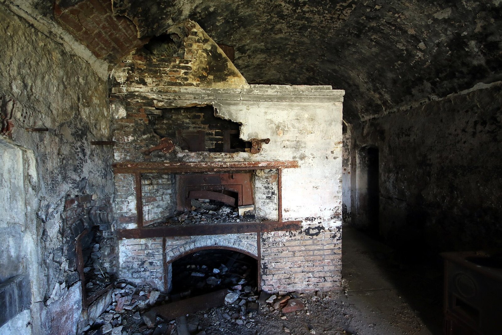
Surviving metal equipment includes doors, shutters, a bread oven, and a kitchen stove. A mostly complete François-Vaillant stove may be type C or type D, though its precise model is uncertain. Both versions were 80 centimetres high and 132 centimetres long. Type C was 108 centimetres deep and held two cooking pots of 100, 110, or 125 litres and a 50-litre hot-water pot. Type D was 102 centimetres deep, with two 75-litre cooking pots and a 40-litre hot-water pot. The stove’s cooking vessel has been removed and lies on the ground nearby, apparently because it was too heavy to carry away.
Summit obelisk
A small obelisk at the summit commemorates a soldier killed by lightning there in 1934.
Terrain and geology
Rock structure
The Clarée fault, a fracture along which rock has moved, runs north to south and separates the fort from the eastern ridge at L’Ombilic, which rises to 2,354 metres. A band of porous, easily weathered carbonate rock marks the Col de la Cochette saddle. The fort and its slopes lie within the Infernet geological unit, a sequence of Jurassic and Cretaceous sediments in Briançonnais facies, a regional assemblage of characteristic rock types, underlain by Norian dolomite, a rock of the Late Triassic. The unit forms an east-tilted anticline, an arch-shaped fold in rock layers, with Norian dolomite at its core just west of the fort. The fort itself lies on Malm, a division of the Jurassic, in the Marbre de Guillestre facies, beside Dogger, another Jurassic division.
Construction scars
The mountaintop was levelled to make room for the fort, contributing to landslides. The ground also proved unstable during artillery firing trials, and scars from that movement remain visible.