Fort des Têtes: An Eighteenth-Century Fort Above Briançon
Site at a Glance
- Popularity
- High
- Country
- France
- Primary era
- Early Modern
- Eras represented
- Early Modern, Modern
- Civilizations
- French
- Site type
- Military
- Remains
- Fort
On this page11 sections
History
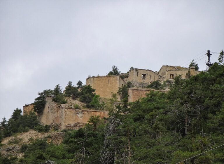
Fort des Têtes is an eighteenth-century French military fort on the plateau above Briançon, France. Its permanent stone construction began in 1721 and was completed in 1734, after Sébastien Le Prestre de Vauban identified the plateau as a key defensive position. From this height, an enemy could bombard and attack Briançon, so the fort helped protect the town.
Planning and construction
Vauban proposed a fort for the plateau in 1700. During the War of the Spanish Succession, a European conflict fought from 1701 to 1714, shortages of soldiers and money delayed permanent construction. In 1709, military engineer Rémi Tardif established a fortified camp on the planned site, following Vauban’s designs. It was intended for the forces of James FitzJames, Duke of Berwick, an Anglo-French commander serving France as a marshal. The camp formed a convex polygon of dry-stacked stone, with a moat and trenches.
The 1713 Treaty of Utrecht, part of the settlement that ended the war, made Briançon a border town facing the Kingdom of Sicily, a monarchy based in Sicily and parts of southern Italy. This change increased the need for lasting defenses. Work on the stone fort began in 1721 under Claude-François Bidal d’Asfeld, the marshal responsible for the fortified district. Tardif and Nègre are also credited with its design.
Military service and the 1940 campaign
For more than two centuries after its completion, the fort saw no combat. It served as a barracks and a storehouse for arms and ammunition, and formed part of France’s defenses around Briançon until 1940. It belonged to the Fortified Sector of the Dauphiné, a section of the country’s Alpine defenses in the historic region of Dauphiné. During the French-Italian campaign of the Second World War in 1940, Italian artillery at nearby Fort Mont Chaberton fired 149 mm shells at Fort des Têtes. French heavy artillery soon silenced the Italian guns, and French forces retained the fort. After France’s defeat and the armistice, Briançon and its fortifications fell within the Italian-occupied zone. The fort saw no further combat.
Postwar use and recognition
After the Second World War, the army continued to use the fort for storage until the early 2000s. It remains the property of France’s Ministry of Defence, although the army no longer actively uses it. France classified it as a Historic Monument in 1989. In 2008, it became part of UNESCO’s World Heritage listing for Vauban’s fortifications. The listing recognizes its representation of early eighteenth-century fortification and Vauban’s influence on military design; it also includes other works around Briançon, such as Fort des Salettes, Fort du Randouillet, the Asfeld Bridge and the old town’s fortified walls.
Remains
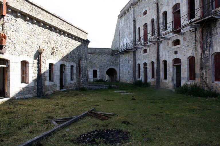
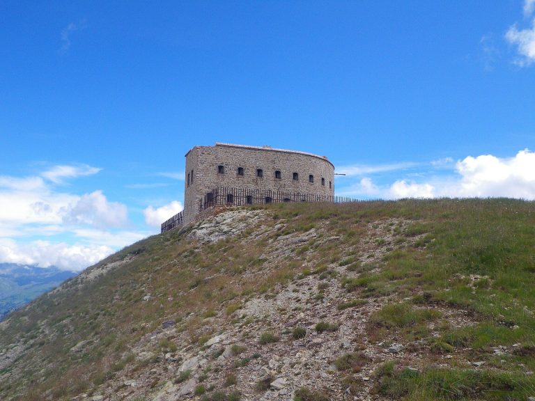
The fort’s buildings and structures are well preserved, and restoration work is underway.
Setting and defensive plan
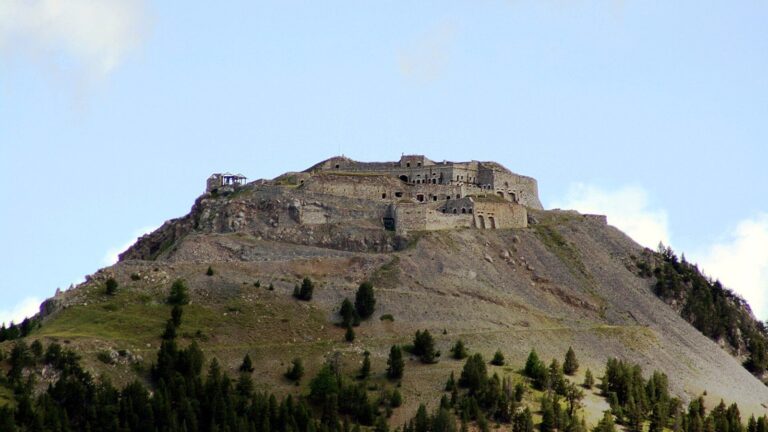
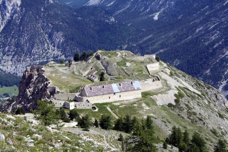
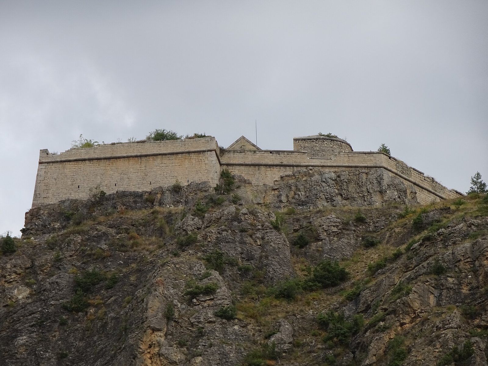
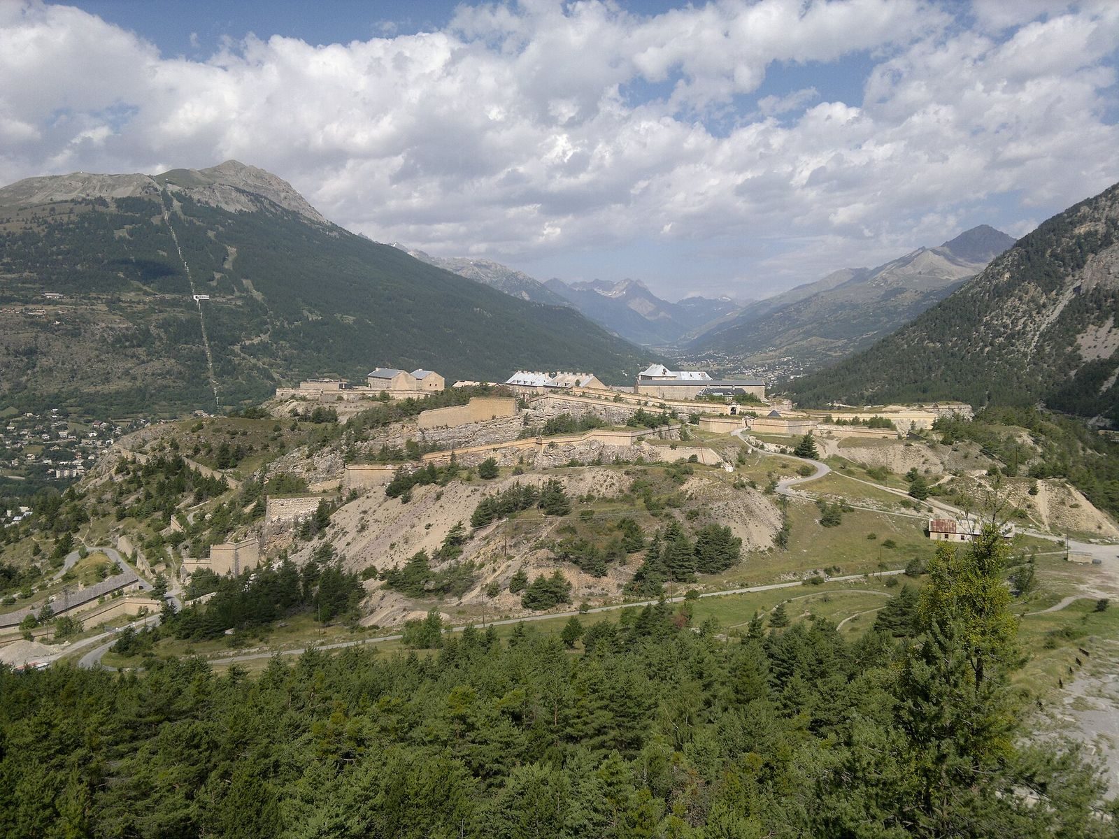
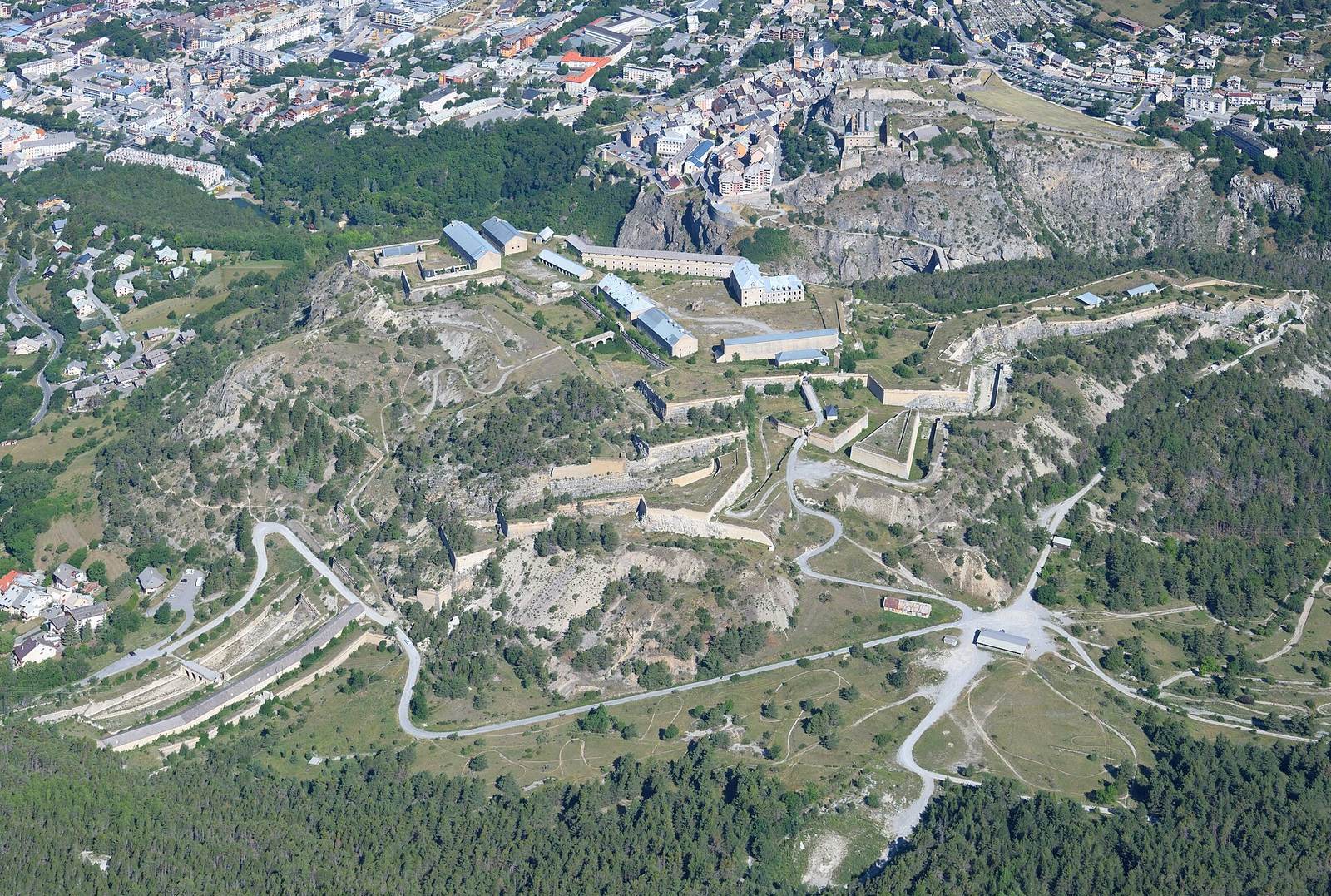
The fort occupies the Plateau des Trois Têtes, named for three rocks projecting from it, and is also known as Fort des Trois Têtes. The plateau stands about 100 metres above Briançon, at approximately 1,400 metres above sea level. It overlooks the Durance valley and commands the high valleys of Fontenil and Fontchristiane. Rocky outcrops were removed to level the fort’s base, and its area is about one and a half times that of old Briançon.
Walls and outer defenses
The fort has a triangular plan, with a bastion, a projecting defensive position, at each point and a curtain wall, the wall joining defensive works, between them. The walls together extend for more than 600 metres around the fort. A lower defensive work covers the approaches. It consists of two bastions connected by a crescent-shaped curtain wall.
Gates and connections
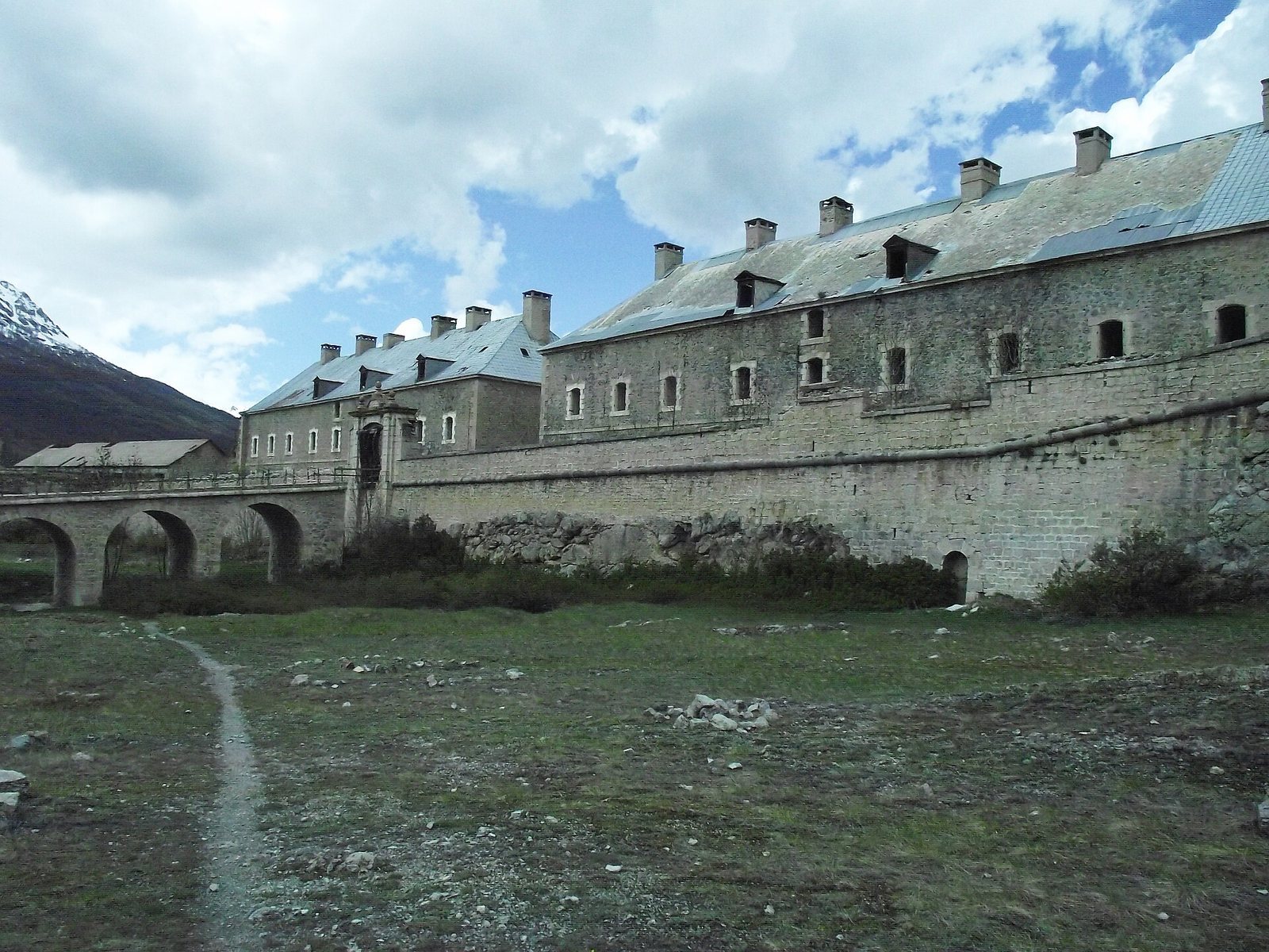
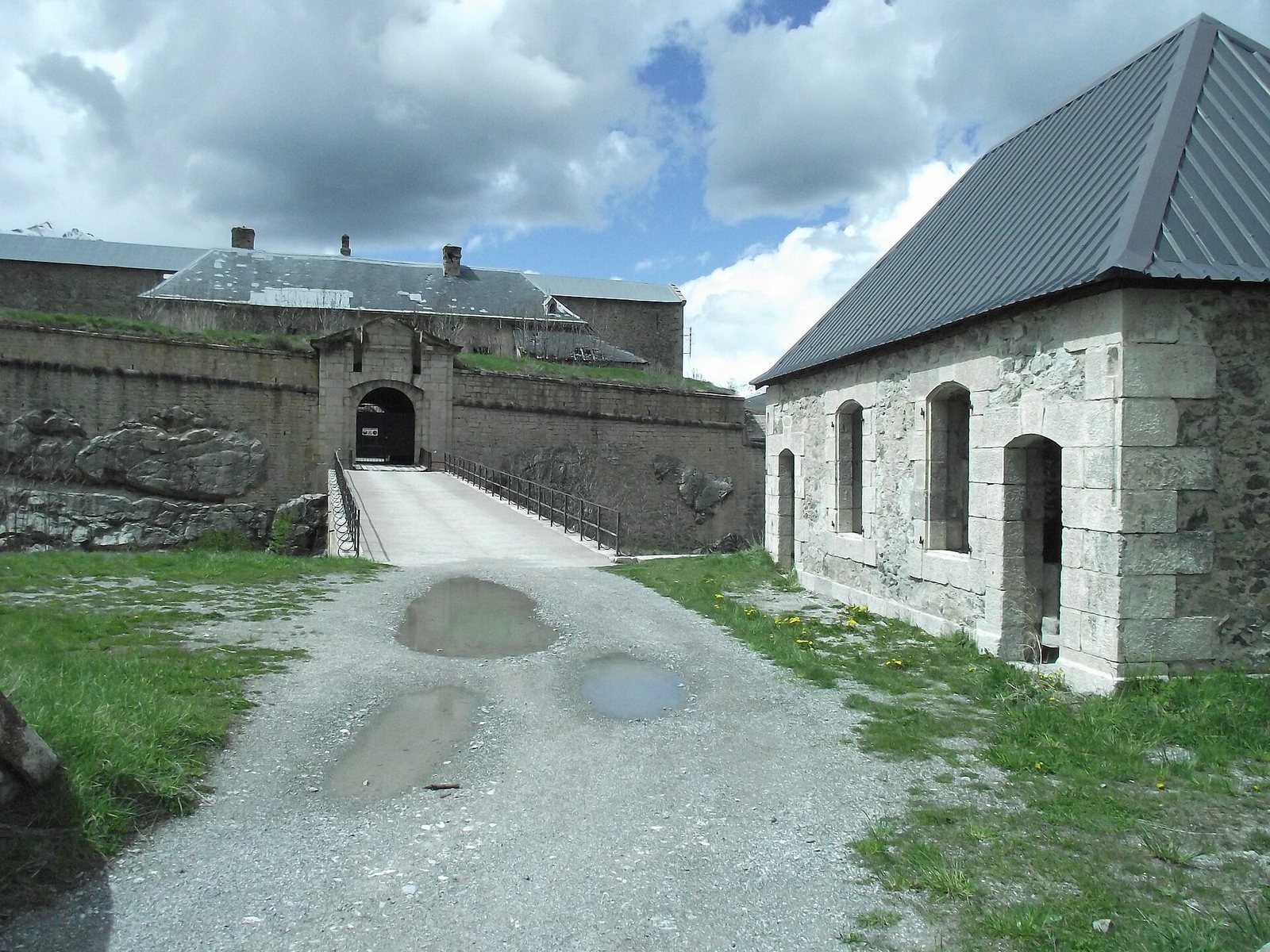
Each of the three curtain walls contains a gate: the Durance Gate, the South Gate and the King’s Gate. The Durance Gate connects toward Briançon by way of the Asfeld Bridge, which crosses the Durance River. Designed by Vauban, the bridge also links the fort with the town. An enclosed, fortified gallery known as Communication Y connects Fort des Têtes to nearby Fort du Randouillet.
Barracks and other buildings
The barracks were designed for up to 1,200 people. The fort’s garrison is also described as numbering about 1,250 soldiers, serving 70 artillery pieces. Other buildings and facilities included the fort commander’s house, arsenals, powder magazines and a chapel dedicated to Saint Louis, the canonized thirteenth-century French king Louis IX.
Water supply
The plateau had no natural water source. Two cisterns, with a combined capacity of 3,500 cubic metres, supplied the garrison. A conduit carried water from a spring on nearby Mount Infernet through the King’s Gate.
Ammunition magazines
Two ammunition magazines were excavated in the 1880s. One was cut into the rock; the other occupied a trench and was covered with earth.