Kalâa of Aït Abbas: Capital of a Berber Kingdom in Algeria
Site at a Glance
- Popularity
- Medium
- Country
- Algeria
- Primary era
- Early Modern
- Eras represented
- Medieval, Early Modern, Modern
- Civilizations
- Amazigh, French
- Site type
- Settlement
- Remains
- City
On this page24 sections
History
The Kalâa of Aït Abbas is a fortress-town in Algeria’s Bibans range and the former capital of the Kingdom of Aït Abbas, a Berber kingdom whose rule is dated from 1510 to 1872. It grew around an earlier military fort built by the Hammadids, a medieval North African Muslim dynasty.
Origins and foundation
The settlement’s foundation date is uncertain. Its establishment is attributed to Emir Abdrrahman, a ruler said to have descended from the Idrisids, an earlier Muslim dynasty in North Africa. After Hilalian tribes, Arab migrants who entered North Africa in the eleventh century, occupied the Beni Hammad fortress, Abdrrahman came from the mountainous area near M’Sila and settled in the Bibans. He established his seat at the Kalâa, where he was acclaimed emir.
The Kalâa’s name is associated with Abbas in its ruling lineage. For more than a century, its rulers came from a line connected with Béjaïa’s last Hafsid ruler, a member of the dynasty that governed Béjaïa. In 1510, after Spanish commander Pedro Navarro captured Béjaïa, two princes, Abdrrahman and El Abbès, and some inhabitants of the city took refuge in the Kalâa’s fortified citadel. The princes were sons of Béjaïa’s last Hafsid sultan. They sought safety from violence feared under Spanish occupation, including atrocities committed during the conquest of Oran.
Capital of Aït Abbas
Sultan Ahmed, a sovereign ruler and son of Emir Abderrahman, is credited with building walls, fortifications, and gates around 1500. He died at the Kalâa in 1510. His son Abdelaziz established the Emirate of Aït Abbas, dated from 1512 to 1559. Conflict with Ottoman rulers ended in Abdelaziz’s defeat and death in 1559. The first Ottoman expedition against the Kalâa took place in 1553, after which construction of an enclosing wall followed. The Ottoman Regency of Algiers was the Ottoman administration that governed Algeria before French colonial rule.
During the sixteenth century, the Kalâa was a fortress-town with a population given as about 70,000; at its height, its population reached about 80,000. It included Andalusian and Jewish quarters, with a synagogue in the Jewish quarter. The Great Mosque also served as a place where the sultan administered justice.
Military center and urban society
The Hammadid fort supported control of the Iron Gates, a strategic pass through the Bibans, as well as the Soummam valley and part of the Sultan’s Road, a historic route through the region. The site’s foundry is dated from 1366 to 1871. In 1830, an arms industry at the Kalâa produced swords, daggers, pistols, early firearms called arquebuses, and gunpowder. Large-calibre guns were found there between 1848 and 1865.
In the nineteenth century, the city was divided into four quarters and factions: Ouled Hamadouch, Ouled Yahya Ben Daoud, Ouled Aïssa, and Ouled Chouarickh. Internal fighting had reduced the last quarter to ruins. Walls divided the other three amid rivalries and armed conflict; each had its own assembly and amin, or administrator. The Kalâa belonged to none of the Aït Abbas tribal factions, though it was expected to supply fighters during conflicts. Its way of life was regarded as more urban than that of many Kabyle villages.
Emir Abd el-Kader, a leader of resistance to the French conquest, selected the Kalâa as a base for extending resistance into eastern Algeria. By the early French colonial period, Sheikh El Mokrani was the site’s leading figure.
Uprising and destruction
In 1871, Hadj Mohamed El Mokrani led an uprising against French rule. The title Hadj honors a Muslim who has completed the pilgrimage to Mecca. Forces gathered at the Kalâa and M’jana on 15 March as the revolt began. El Mokrani was killed in battle on 5 May and buried at the Kalâa. In August, French forces under General d’Armand sacked the settlement, leaving it almost entirely destroyed.
National movement and the Algerian War
Construction of the Kalâa’s medersa, a school for religious learning, began in 1934, when reformer Abdelhamid Ben Badis laid its foundation stone. The Association of Muslim Ulema completed the school in 1936, with residents contributing through collective community labor. It was the association’s second school in Algeria, after the one in Constantine, and became a center for patriotic education and cultural activity during the national movement.
During the Algerian War of Independence, the struggle to end French rule, French bombardments began in the surrounding area in 1956. An economic blockade and aerial and artillery attacks followed in 1957 and 1958. A meeting of regional independence leaders led by Colonel Amirouche took place at the Kalâa. Organizers also considered it for the 1956 Congress of Soummam, but moved the meeting to Ifri and Ighbane because they feared information might reach French forces.
In 1958, the Kalâa was declared a forbidden zone and its inhabitants were displaced. The village, which had more than 4,000 residents before the war, remained restricted until Algerian independence. The Kalâa has been classified as a nationally protected sector since 2015.
Remains
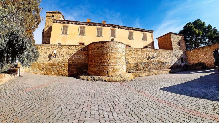
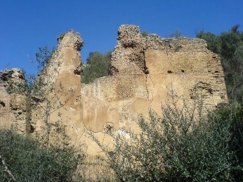
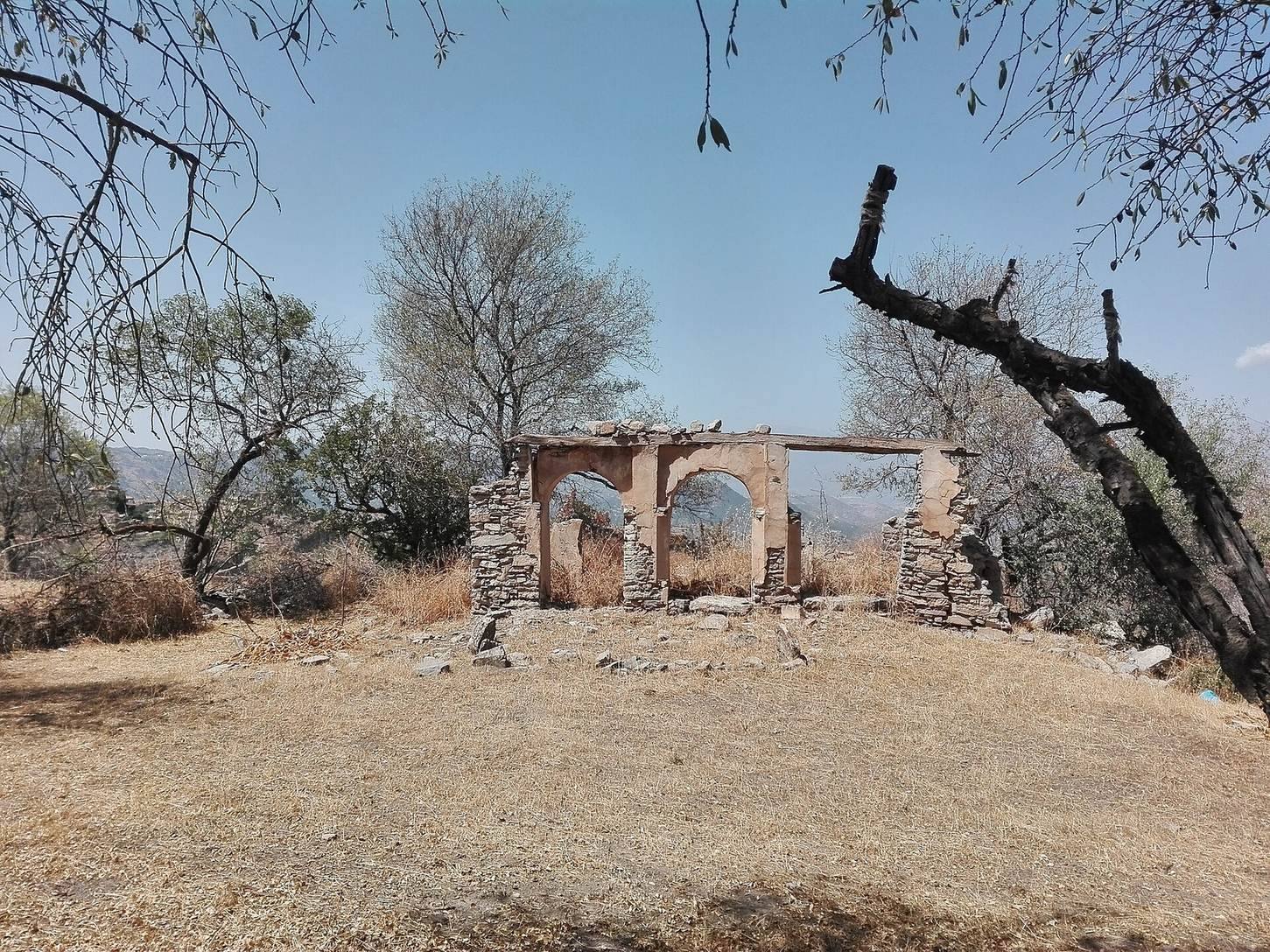
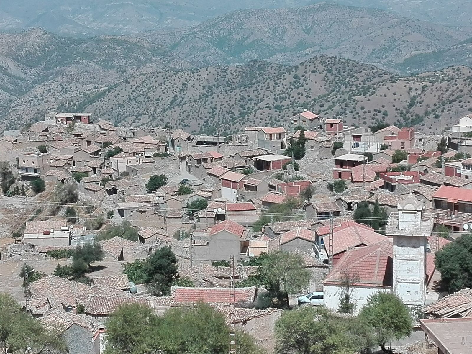
The Kalâa occupies a heart-shaped rocky plateau of about 400 hectares in the Bibans, roughly 1,000 to 1,300 metres above sea level. Deep wadis with perennial flow and steep cliffs border almost all sides of the plateau. The settlement’s built defenses combined with this natural protection. Its surviving remains include stretches of walls, gates, the old fort, buildings in the former royal quarter, and religious and military structures.
Plateau and defenses
Walls and entrances
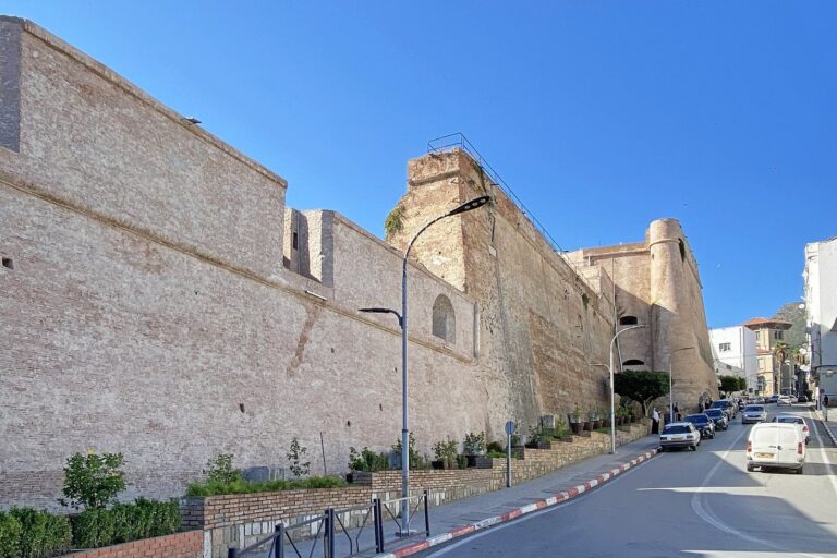
A section of the old city wall survives at the village entrance. Other substantial stretches stand near Thagurth Ou Aji, an entrance gate, and Thagurth El Bordj, the northeastern citadel gate. The defensive walls are also known as S’Sour Ouroumi. The original main entrance, Thagurth Gudhrar, or Mountain Gate, stood near Thakarvouzt on a hill about 1,300 metres high and also served as a lookout. Only portions of its mortar-built walls remain.
Fort and military structures
Hammadid fort
Remains of the Hammadid fort are found at Akhriv Ouziri, a name translated as “ruins of Ziri.” Its parade ground stood in front of the Great Mosque and is now known as Loudha Laâli.
Citadel and quarter walls
The separate military citadel, or casbah, built by Sultan Ahmed in the sixteenth century was already in ruins in the nineteenth century. The Kalâa’s plan drew on the Beni Hammad fort, combining a strategic position and difficult access with guarded gates and walls around the settlement. Walls also separated the city’s quarters.
Powder magazine and tribunal
A subterranean powder magazine associated with the Mokrani family survives at the site. The remains of a military tribunal, known as Nadi Edhoubat or Café Boumezrag, include a large room used as a café, an inner courtyard, and rooms arranged around it.
Royal quarter and residences
Royal quarter
Remains of the royal quarter survive, and some parts have been rebuilt. A French explorer’s sketch shows a house there with an inner courtyard, a ground floor, and an upper storey. The quarter retains parts of its original architectural character, including carved portals made by Moorish sculptors from Andalusia.
Mosques and mausoleums
Mausoleum of Sultan Ahmed
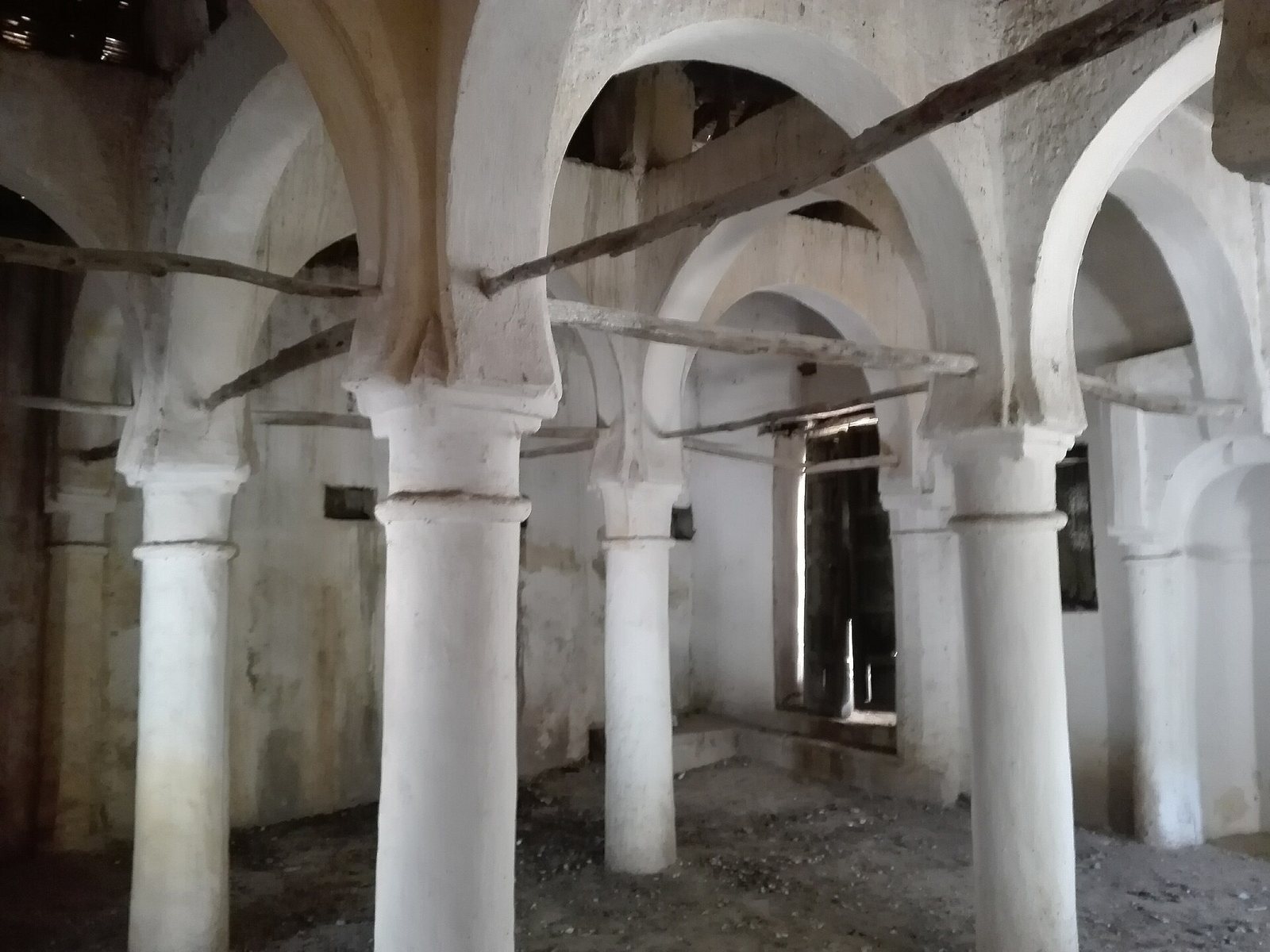
The mausoleum associated with Sultan Ahmed is built of masonry stone and has a roof of round tiles. Its timber beams and smaller rafters indicate that the roof covering has been modified more than once. The building has arcades, or rows of arches, in a style associated with Córdoba. It resembles a small mosque, with a prayer hall, a mihrab (a niche indicating the direction of prayer), a light veranda along the main façade, and a garden used as a cemetery. Ahmed’s grave, a mound about 20 centimetres high, lies toward the rear on the right.
Great Mosque
The Great Mosque, or Djamaa El Kebir, has a prayer hall with a minbar, or pulpit, and a mihrab. Three rows of square-section pillars divide the hall, and a circular minaret stands on the right. A garden cemetery forms part of the complex, with the grave of Hadj Mohamed El Mokrani in the garden or courtyard. Fragments of a French funerary inscription in his honor are attached to a mural made by local authorities for the 125th anniversary of his death. The mosque was restored in 1913 and remains in use.
The site includes fourteen mosques and mausoleums.
School and productive structures
Medersa
The medersa has a courtyard and classrooms. Its fabric is part of the complex established for religious learning and patriotic education.
Oil press
A traditional oil press is also present at the Kalâa.
Artillery and weapons
Large cannons
French forces found four large cannons after the defeat of El Mokrani’s forces in 1871. They were displayed first at the Constantine museum and later at the Louvre in Paris. An approximate translation of an Arabic inscription on one cannon names Abdelaziz Al Abbassi as the ruler who ordered its manufacture and Aldj Hassan Erroumi as its maker. The inscription gives the date as 767 AH, a year in the Islamic Hijri calendar.
Weapon fragments
Cannon and arquebus barrels, along with cannonballs, have been found at the site and are kept in the village museum.