Fort de Fouras: A Royal Sea Fortress on the Charente Estuary


Site at a Glance
- Rating
- 4.5
- Popularity
- Medium
- Country
- France
- Primary era
- Early Modern
- External website
- Open
- Eras represented
- Medieval, Early Modern, Modern
- Civilizations
- French
- Site type
- Military
- Remains
- Fort
On this page11 sections
History
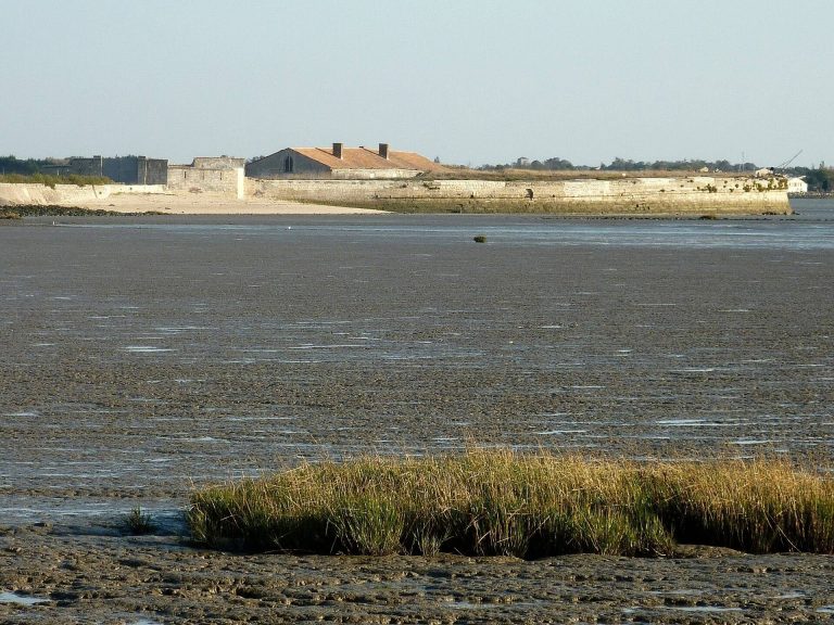
Fort de Fouras, also known as the Semaphore de Fouras, is a fortified site in Fouras, France, developed from Roman and medieval defenses into a seventeenth-century sea fortress. It occupies a strategic position at the mouth of the Charente, in the historic province of Aunis, a coastal region broadly corresponding to the area around La Rochelle and the lower Charente. Around 58 BC, when Fouras was situated on an island, a Roman castrum, or fortified settlement and military camp, stood on the site.
Lordship and medieval castle
During the eleventh century, the lordship of Fouras passed to the Rochefort family. The lords held high, middle, and low judicial rights and collected tolls from boats using the Charente. In 1305, Philip IV purchased Fouras and attached it to the French crown, although he later granted the place again as a fief.
The fief changed hands several times before passing to Jean II de Brosse, lord of L’Aigle, in 1449 or possibly 1454. At the end of the Hundred Years’ War, the prolonged series of conflicts between England and France from the fourteenth to the fifteenth century, he built the donjon, the principal fortified tower of a medieval castle. Construction took place between 1480 and 1490, establishing the oldest surviving major element of the present fortification.
From fortified town to royal fortress
Fouras survived the destruction ordered by Louis XIII against fortified towns after the capture of La Rochelle during the Wars of Religion, the civil and religious conflicts that affected France mainly during the sixteenth century. The king retained the site because of its strategic value and made it a royal fortress.
The creation of the Rochefort naval arsenal in 1666, under Colbert’s direction and on the orders of Louis XIV, increased the military importance of the Charente estuary. During the Dutch War, fought from 1672 to 1679, Fouras helped protect the arsenal by defending the estuary. Its donjon was used to observe ship movements and send messages to a signal tower near the residence of the squadron commander at Rochefort. That tower was built in the eighteenth century.
Vauban-era transformation
Between 1689 and 1693, François Ferry transformed the former feudal residence into a sea fort under the supervision of Sébastien Le Prestre de Vauban, the principal military engineer of Louis XIV. Ferry thickened the donjon, strengthened the medieval enceinte, or enclosing defensive wall, and extended the defenses toward the sea with a false braie. This low outer defensive work was intended to carry the main concentration of the fort’s artillery.
In 1705, Ferry built barracks in the area now used as a parking area. The barracks housed the garrison and created an outer defense for the donjon. An attacking force had to pass through a first gate, then a second gate leading to the barracks, and finally a third gate opened through the medieval enceinte. The completed fort accommodated between 300 and 600 men and mounted 50 cannons across three firing levels: the false braie, the courtyard, and the top of the donjon.
Eighteenth- to twentieth-century service
Fouras did not fire during the British incursions into the roadstead, a sheltered coastal anchorage, in 1757 and 1809. During the 1757 attack on Rochefort, Henry Seymour Conway repeatedly urged the destruction of the fort. British officers approved only an unsuccessful night attack, and the expedition eventually returned to Portsmouth without achieving its objective.
In 1847 and 1848, the battery was converted into a casemated battery, using fortified enclosed chambers to protect guns and their crews. A barracks with two bastions, projecting sections designed to provide flanking fire along the walls, was built over Ferry’s unfinished ditches. The fort remained in service until the Rochefort arsenal closed in 1927. The French Navy continued to use it from 1889 until the middle of the twentieth century and erected a semaphore on the donjon to guide navigation offshore, giving the fort its continuing alternative name.
Fort de Fouras and its citadel were classified as historic monuments on 13 March 1987. The commune is the current owner, and the fort now houses a museum devoted to regional history.
Remains
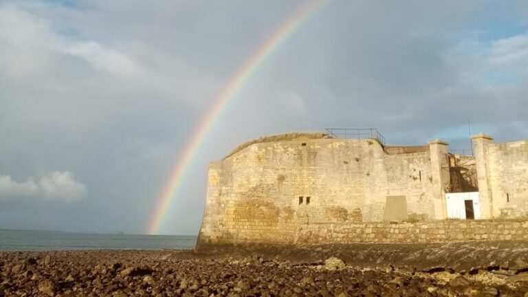
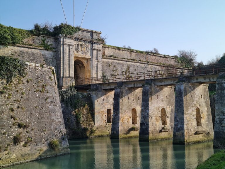
The surviving fortification combines a fifteenth-century medieval core with seventeenth-century defenses and later nineteenth-century military works. The complex stands directly above the sea, with the donjon, courtyard, ramparts, firing platforms, casemated battery, and former barracks area arranged through successive defensive phases. Its overall configuration was compared to a warship: the forward horseshoe-shaped section represents the prow, the elevated medieval courtyard the upper deck, the donjon the mast, and the surrounding ramparts the deck.
Medieval core
The fifteenth-century donjon and the south wall of the first enceinte are the oldest surviving parts of the fortification. The donjon rises 30 metres, contains four levels, and stands above a crypt. Its position provided the central vertical element of the later fortress, while the south wall preserves part of the earlier enclosing defense incorporated into the expanded site.
Seventeenth-century sea defenses
Donjon firing platform
Ferry’s work thickened the walls of the medieval donjon and added a firing platform 36 metres above sea level. The platform was designed for nine cannons and formed the highest of the fort’s three firing levels. The donjon, curtain walls, firing platforms, and massive tower display the military architecture associated with Vauban’s period and surround the earlier medieval structure.
False braie and artillery levels
The false braie projects toward the sea and was designed to carry the principal concentration of artillery. It worked with the courtyard and the summit of the donjon as part of the fort’s three-level firing system. These works extended the defensive line beyond the medieval enclosure and placed artillery directly above the water.
Nineteenth-century battery and barracks
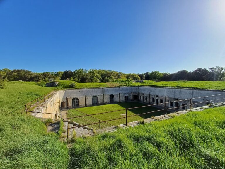
The 1847–1848 casemated battery occupies part of Ferry’s unfinished ditches. The associated barracks, built with two bastions, also stand over these earlier defensive cuts. The former barracks area is now used as a parking area, while the fort’s enclosed area is separate from the museum. Together, the later battery and barracks preserve the changes made when the fortress was adapted to a new form of protected artillery.