Fort Énet: A French Coastal Fortification Protecting Rochefort


Site at a Glance
- Rating
- 4.5
- Popularity
- Low
- Country
- France
- Primary era
- Modern
- External website
- Open
- Eras represented
- Modern
- Civilizations
- French
- Site type
- Military
- Remains
- Fort
On this page7 sections
History
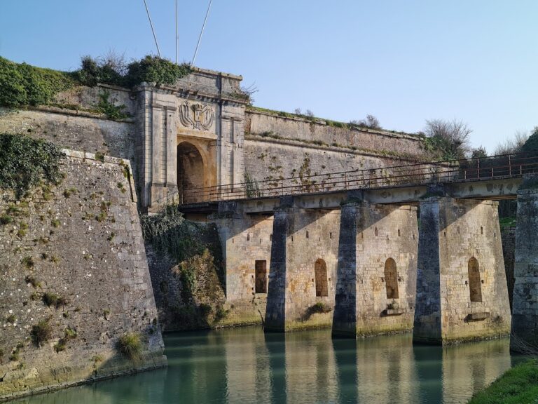
Fort Énet is a French coastal fortification on the Enet rock between Fouras and Île-d’Aix, built around 1810 and officially completed in 1812 to protect the Rochefort arsenal and the approaches to its roadstead. The arsenal, founded in 1666 on the Charente River, was a major naval shipbuilding and armament establishment. Fort Énet formed part of a defensive system designed to secure the ships anchored and armed in the Île-d’Aix roadstead before departing Rochefort.
Origins in wartime planning
Plans for a fortification on Enet followed the English attack and looting of Île-d’Aix during the Seven Years’ War, a conflict fought by major European powers between 1756 and 1763. The proposed work was intended to defend the roadstead and its approaches. Earlier plans also envisaged crossfire with Fort de Coudepont on Île-d’Aix, alongside the existing or proposed works at Fouras.
The project was revived under Napoleon I after the Battle of the Basque Roads in 1809, a naval disaster during which part of the Rochefort squadron was destroyed. Napoleon ordered a permanent fortification on Enet whose guns would cooperate with the defenses on Île-d’Aix and the Aiguille redoubt at Fouras. A redoubt was a small detached fortification. The initial work was smaller and more rudimentary than the fort that survives today.
Military use and changing importance
The French Army owned the fort during its construction, but the completed work was transferred to the Navy in December 1811 for arming. Its defensive value declined as naval artillery became more powerful and gained greater range. Repeated tidal assault led to adaptations through the middle of the nineteenth century, while the fort was also used for artillery experiments in 1863. During those tests, Fort Liédot on Île-d’Aix served as the target for trials of Fort Énet’s resistance.
Measurement, imprisonment, and decommissioning
The Navy’s Depot of Charts and Plans installed a tide gauge at Fort Énet in 1859. A tide gauge records changes in sea level, while a stilling well protects its measuring mechanism from waves and turbulence. Measurements continued until 1873, when regular silting in the stilling well interfered with the observations and the instrument was moved to Fort Boyard. The hydrographic engineer Jean Jacques Anatole Bouquet de La Grye had sought the new location for measurements in the Pertuis d’Antioche.
In 1871, Fort Énet became a prison for several Communards, supporters or participants in the Paris Commune, the revolutionary municipal government established in Paris after France’s defeat in the Franco-Prussian War. At the beginning of the twentieth century, the fort also held convicts in transit. It was decommissioned shortly before the First World War.
Private individuals bought the former military property in the early 1960s. Fort Énet has been protected as a historic monument since 19 December 1994, under French heritage legislation. Its listing is recorded in the French Ministry of Culture’s Base Mérimée under reference PA00132807.
Remains
Layout and defensive form
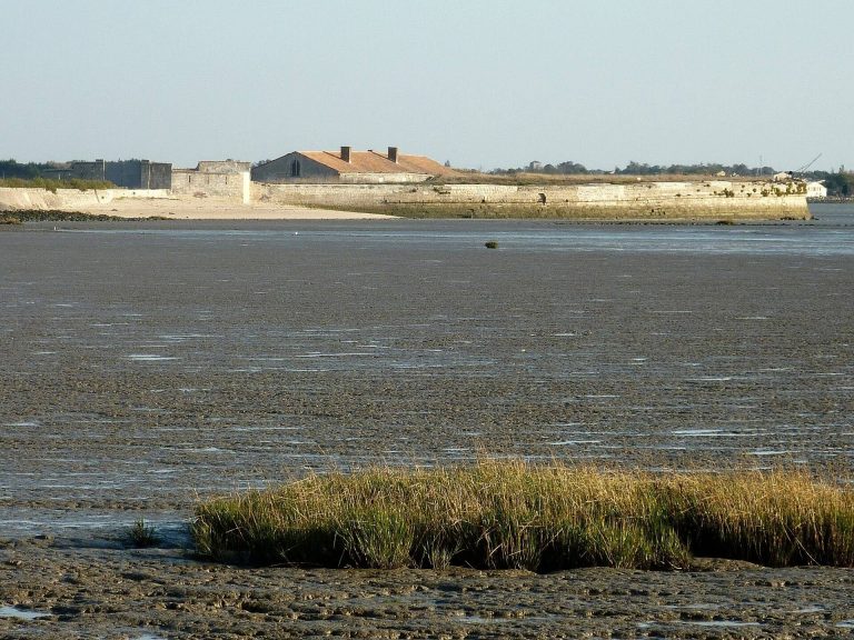
Fort Énet stands on a natural rock in the channel between Fouras and Île-d’Aix. At low tide, a 1.6-kilometre tidal passage links the rock with the Pointe de la Fumée. The original fort was arranged as a semicircle with a projecting point, two buildings, and an earthen mound inside the enclosure. Its defensive fire was planned to operate with the works on Île-d’Aix and at Fouras.
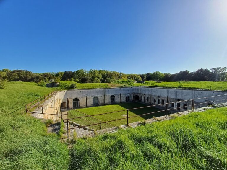
The surviving structure takes the form of a curved battery closed by a projecting spur that covers the powder magazine. Its simple design creates a balanced composition. The fort includes a courtyard, a wall-walk, internal structures, gun positions, and the powder magazine. A wall-walk is a defended walkway along or behind a fortification. Part of the structure is used as a dwelling and is excluded from visits.
Casemates and later artillery works
Around 1850, the fort was enlarged with a second gun level and sixteen stone casemates. Casemates are strongly protected chambers built to house artillery or other military equipment. These chambers soon became obsolete after the introduction of rifled artillery, whose spiral-grooved barrels gave projectiles greater range and accuracy than earlier smoothbore guns.
During the late nineteenth century, the casemates were adapted for modern guns. A concrete covering was constructed over them and then buried beneath earth, altering the appearance and protection of the artillery level while retaining the fort’s principal defensive arrangement.