Fort d’Aubervilliers: A Nineteenth-Century French Military Fort
Site at a Glance
- Popularity
- High
- Country
- France
- Primary era
- Modern
- Eras represented
- Modern
- Civilizations
- French
- Site type
- Military
- Remains
- Fort
On this page9 sections
History
Fort d’Aubervilliers is a nineteenth-century military fort in Aubervilliers, France, built by the French to reinforce the defensive line around Paris. The fortifications associated with statesman Adolphe Thiers formed a line of defenses around the city. A plan for the forts was proposed in 1830, construction was agreed in 1840, and funding and land were secured in 1841. The fort was built from 1842 to 1846 to defend the capital, deter possible rebellions, and control the Route de Flandre, an approach to Paris that later became part of Route nationale 2.
Military service and wartime use
The fort was built on land then within Pantin, which was annexed to Aubervilliers in 1851. It was associated with the Siege of Paris of 1870–1871, when Prussian forces besieged the French capital during the Franco-Prussian War. Its defenses were altered and improved through 1926. After 1874, two more-protected powder stores were installed beneath a long internal barrier, replacing the earlier arrangement.
During the First World War, the French Army used the fort as a workshop for filling artillery shells with toxic gas. Under Colonel Hubert Ernest Thouvenin, the workshop produced the first phosgene shells used by the French Army, beginning in August 1915. Phosgene is a poisonous gas used as a chemical weapon. On 1 April 1918, a German air raid struck the sloping ground outside the fort.
German forces entered Aubervilliers on 13 June 1940 and occupied the fort. The French Army continued to use the site until 1973. In 1976, a Mobile Gendarmerie barracks was established there, including the III/1 group and three squadrons. The Mobile Gendarmerie is the public-order branch of France’s gendarmerie, a military-status national police force.
Scientific work, contamination, and reuse
During the 1920s and 1930s, French scientists Frédéric and Irène Joliot-Curie carried out radioactivity research at the fort, including experiments with radium-226 salts. Later Army experiments linked to French nuclear tests in the Algerian desert seriously contaminated the site. Decontamination began in the 1990s, but a lack of funding meant that 61 drums containing cesium-137 and radium-226, along with 60 cubic metres of contaminated soil, remained stored there. The waste was removed in 2009 and was no longer listed in France’s radioactive-waste inventory.
A newspaper report in 2006 drew attention to an apparent rise in cancers in the area, citing fourteen teachers at one school who had developed cancer. In 2007, an investigation found no evidence that radioactive waste had been buried near the school, and measurements in the surrounding area were at the background level for the Paris region. A counter-assessment publicized by politician Dominique Voynet nevertheless confirmed radioactivity within the fort and identified further contaminated areas.
In 1973, most of the grounds passed to Grand Paris Aménagement, a public land-development agency that owns and manages 25 hectares of the approximately 36-hectare site. A 1984 initiative called “Fêtes et forts” opened forts in the Paris region to the public. A dance competition at Fort d’Aubervilliers, on land then occupied by a car scrapyard, is often described as France’s first hip-hop festival. Artists including sculptor Rachid Khimoune and performer Bartabas established a presence at the fort in 1989; Bartabas held presentations there from 1998, when the site included a horse ring, stage, and restaurant.
Proposals to redevelop the grounds, including relocating Bichat-Claude-Bernard Hospital and building a velodrome, did not proceed, with radioactive contamination among the obstacles. In April 2016, Recup Paris founders Dom Tappy and Thomas Winkel began work to adapt two casemates for workshops and exhibition spaces, emphasizing the reuse of materials.
Remains
Plan and defensive layout
The fort occupies approximately 36 hectares near the boundaries of Pantin and Bobigny. It adjoins the Cimetière de Pantin and is surrounded by allotment gardens; its moat covers about two hectares. The fort has a five-sided plan with five bastions, projecting sections of the defensive wall. Six casemates, fortified chambers built into the defenses, protected the main entrance. The entrance lay between two guardhouse pavilions, with an enclosed defensive work set on the protected passage outside the fort. Secondary passages run through other sections of the rampart.
Between bastions 2 and 4, the rampart carried two series of thirteen vaulted casemates. Two large barracks stood in the courtyard. The original powder stores, each with an interior area of 160 square metres, were positioned in the rear-facing bastions. The later stores were built beneath a long internal barrier that shielded the courtyard.
Surviving structures and later uses
Entrance and ramparts
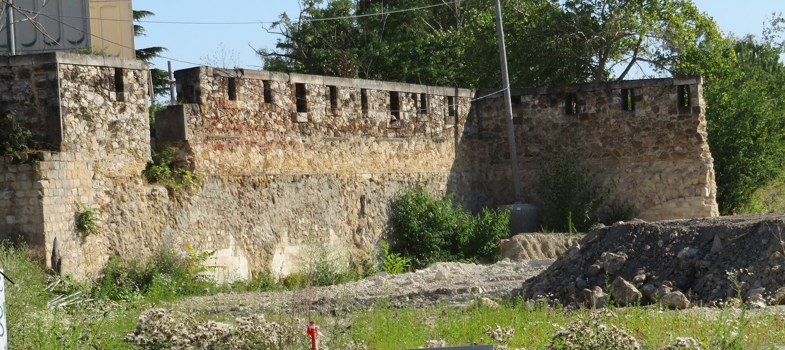
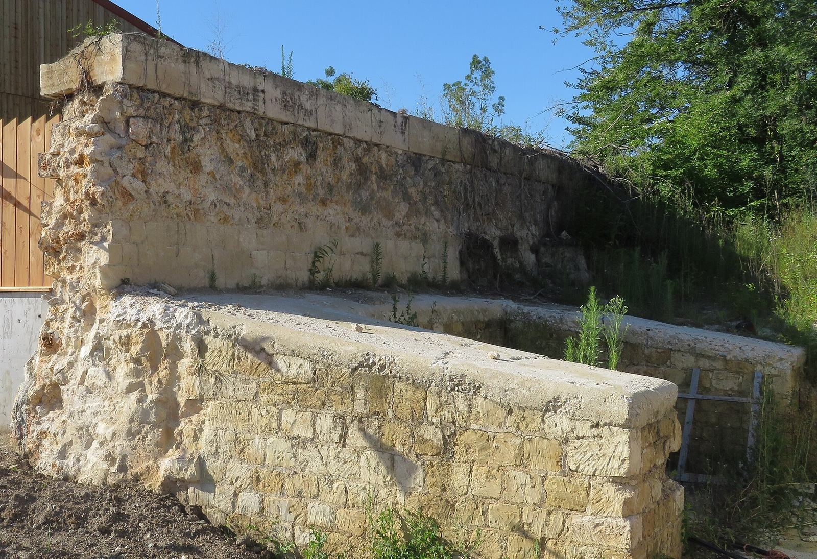
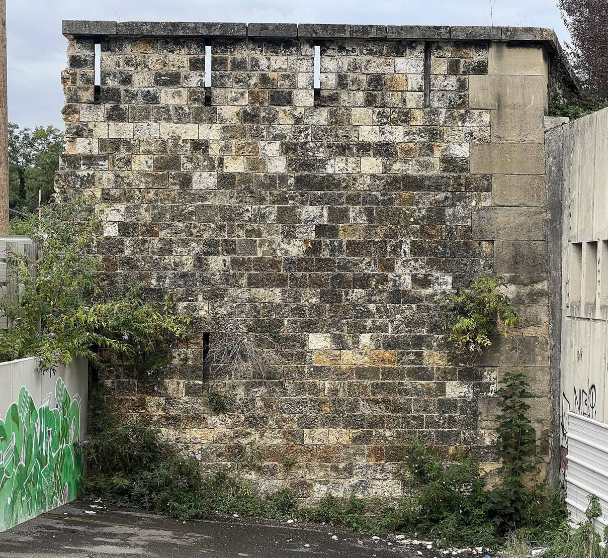
The entrance pavilion and a former gate survive, along with two guard posts described as intact despite later construction. A section of rampart between bastions 3 and 4 also remains, including its casemates and internal defensive barriers. These structures survive in varying condition.
Barracks and powder stores
The eastern barracks and the later powder stores remain. Their survival preserves parts of the fort’s courtyard buildings and defensive system.
Casemates and adapted spaces
Two casemates were selected for conversion into workshops and exhibition spaces, with work beginning in 2016. During Bartabas’s presentations, the grounds also held a horse ring, a stage, and a restaurant. The rear part of the site was used as a vehicle impound yard.