Dolmen D35: A Neolithic Stone Tomb near Valthe
Site at a Glance
- Popularity
- Very Low
- Country
- Netherlands
- Primary era
- Stone Age
- Eras represented
- Stone Age
- Civilizations
- Unclassified
- Site type
- Burial
- Remains
- Tomb
On this page4 sections
History
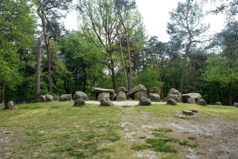
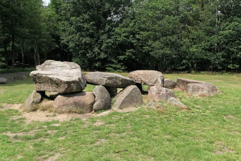
Dolmen D35 is a prehistoric stone tomb near Valthe in the Netherlands, dated to 3470–2760 BC and attributed to the western regional group of the Funnel Beaker culture, a Neolithic culture named for its characteristic pottery.
Nicolaas Westendorp first recorded the tomb in 1815. Leonhardt Johannes Friedrich Janssen visited in 1847, then published an overview of Dutch megalithic tombs in 1848, with descriptions and schematic plans. In 1871, the province of Drenthe purchased D35 from Valthe’s communal landholding association. Three years later, Willem Pleyte and photographer Jan Goedeljee made a systematic photographic record of surviving Dutch tombs, including D35. Pleyte also created lithographs based on the photographs. From 1904 to 1906, Willem Johannes de Wilde made plans, photographs, and detailed descriptions of the surviving tombs.
Albert Egges van Giffen included D35 in his 1918 atlas and described its condition as dilapidated. The tomb was restored in 1952 and investigated again during the 1960s. It has been a National Monument since 1992. In 2017, the province and the University of Groningen included it in a three-dimensional atlas created from photographs by the Gratama Foundation.
Remains
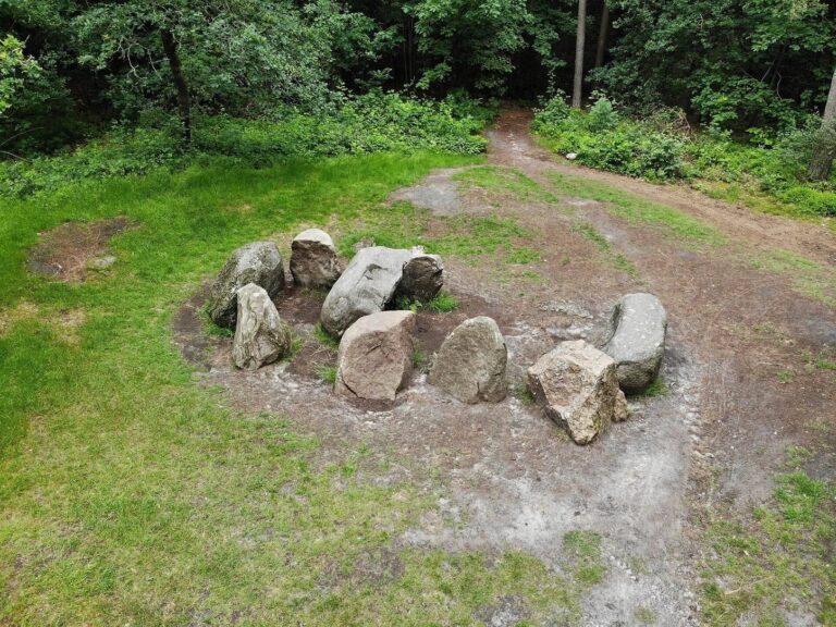
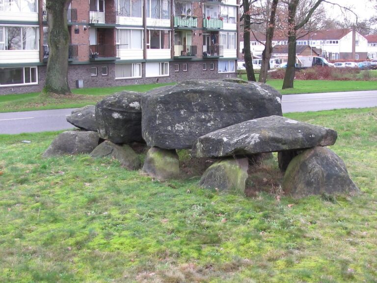
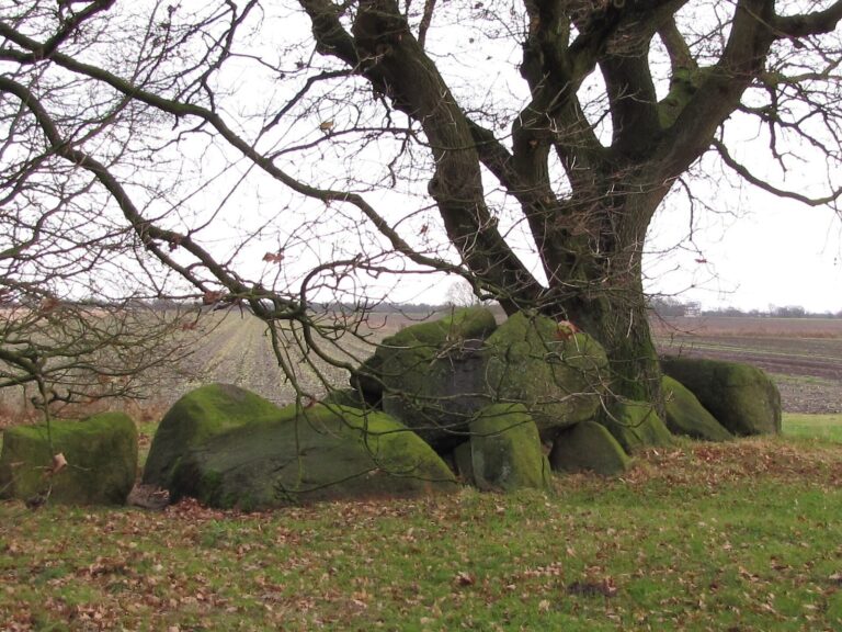
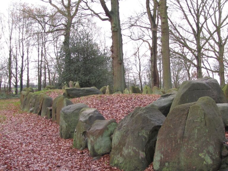
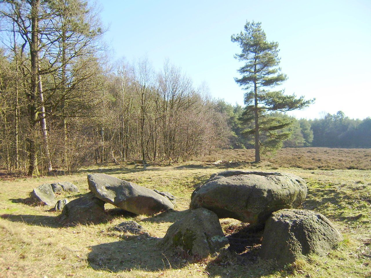
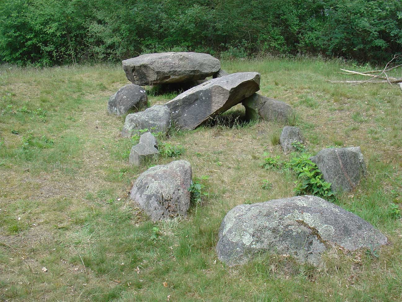
The tomb’s chamber is precisely aligned east to west and measures 8.5 metres long by 3.2 metres wide. Five pairs of side stones and a closing stone at each end form the chamber. Almost all of these supporting and end stones lie beneath the sand, while two capstones remain.
Setting and prehistoric route
D35 lies southwest of Valthe, at the northern edge of Valtherbos between Valthe and Klijndijk. It stands beside a pingo ruin, a hollow left when an ice-cored mound melted, and near the burial mound Eppiesbargie. Other megalithic tombs include D34, 860 metres to the north-northwest; D36 and D37, 1.7 kilometres to the east-northeast; and D38–D40, 2.9 kilometres to the south-southeast. Drenthe’s oldest trade route passed D31, D33, D34, D35, and Eppiesbargie. The Valtherzandweg still forms part of this prehistoric route.
Entrance and stone markings
The entrance is on the southern long side, between the second and third side stones when counted from the east. A possible cup mark can be seen on the upper surface of the eastern closing stone.