Kačaičių piliakalnis: A Fortified Hillfort in Lithuania
Site at a Glance
- Rating
- 4.3
- Popularity
- Very Low
- Country
- Lithuania
- Primary era
- Medieval
- External website
- Open
- Eras represented
- Classical, Medieval
- Civilizations
- Grand Duchy of Lithuania
- Site type
- Military
- Remains
- Fort
On this page10 sections
History
Kačaičių piliakalnis, also known as Pilale, is a fortified hillfort in Lithuania, in the northeastern part of Kalno Grikštai village. Built on a naturally defensible spur beside the Kartenalė II River, it was used from the first millennium AD through the thirteenth century, chiefly as a defensive stronghold.
Fortified occupation
The hillfort formed part of a defended settlement on a highland spur at the meeting of the Kartenalė II and Kartenalė I Rivers. Three layers of burning in the rampart show that the castle was destroyed by fire three times. After the first two fires, the fortifications were rebuilt and the rampart was raised with additional sand. Following the third fire, the defenses were not reconstructed.
South of the forework, a settlement extended along the edge of the highland. Investigations there found stones from burned hearths, charcoal, and other traces of fire. A later excavation also revealed the remains of a wooden building that had burned beside the rampart, together with handmade pottery. These finds indicate activity beyond the principal defended area.
The possible castle of Ducinė
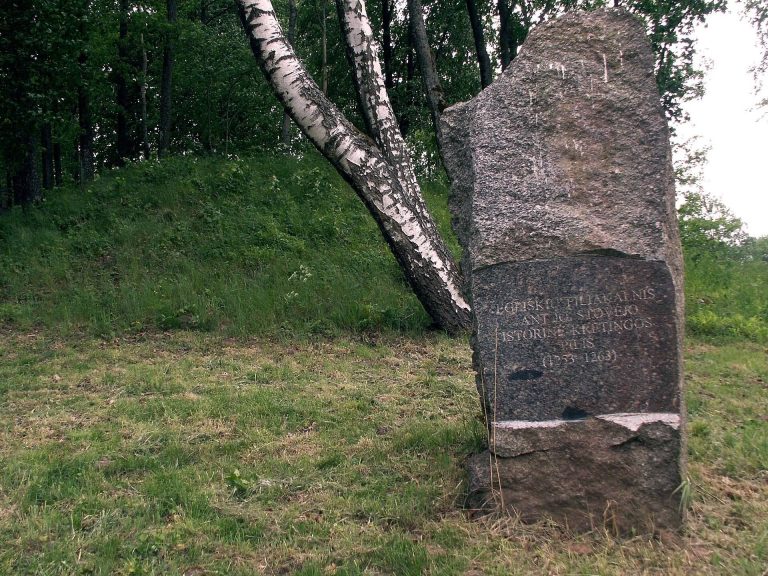
Kačaičių piliakalnis may be the castle of Ducinė, also written as Duzene or Docene, mentioned in a 1253 document by Henry, Bishop of Courland. The Bishopric of Courland was a medieval Catholic diocese in the eastern Baltic. This identification was proposed by the historian Tomas Baranauskas and is supported by a land-name record for Ducinė. The recorded area covered 3.5 hectares of ploughed land in the northern part of the former Kačaičiai village, on both sides of the Kartenalė I River.
Local traditions and later protection
The site historically lay within the lands of Kačaičiai village. After that village was abolished, the hillfort was assigned to Baubliai village, and it now lies within Kalno Grikštai. Local people have long used the name Pilale and have associated the hillfort with stories of buried treasure and supernatural events.
One tradition says that Swedish invaders built the fort, lived there, and buried gold, silver, and other plunder before retreating to Sweden under pressure from the army of the Grand Duchy of Lithuania, the medieval and early-modern state whose forces are named in the story. Another tale says that a treasure map was later found, but a flood of the Minija River washed away the bridges and stopped Swedish treasure hunters from reaching the site. Other narratives describe armed riders leaving the hillfort at night and vanishing down its slopes, leading travelers to avoid the place after dark.
During the Lithuanian land reform, Petro Šniukša and Vladas Nagevičius arranged for the hillfort to remain outside land distributed to smallholders. In 1935 it was placed under the care of the Budriai unit of the Kretinga district of the Lithuanian Riflemen’s Union, an interwar Lithuanian paramilitary organization. The site became a republican-level archaeological monument in 1972, entered the Register of Immovable Cultural Heritage in 1992, and was added to the archaeological sites register in 1997 under code A464. It was declared a cultural monument in 1998 and recognized as state-protected in 2005.
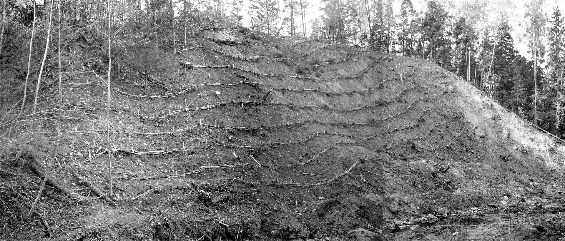
Investigations took place in 1959, 1966, 1984, 1985, 1987, 1992, 1993, and 1997. They were conducted by Juozas Mickevičius, the Institute of History, the Scientific and Methodological Council for the Protection of Cultural Monuments, Julius Kanarskas, Valdemaras Šimėnas, the Lithuanian Scientific Centre for Cultural Heritage, and Rimantas Kraujalis. Erosion-control work was carried out in 1993 and again in 1997–1998 under a project prepared by hydraulic engineer Juozas Lukošiūnas.
Remains
Hillfort and defensive earthworks
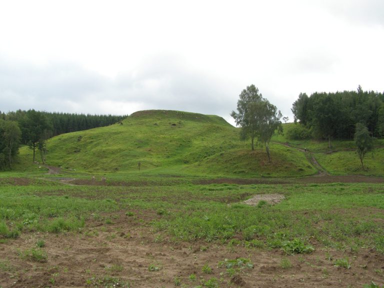
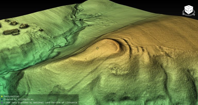
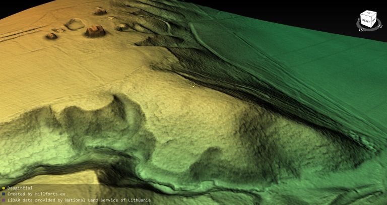
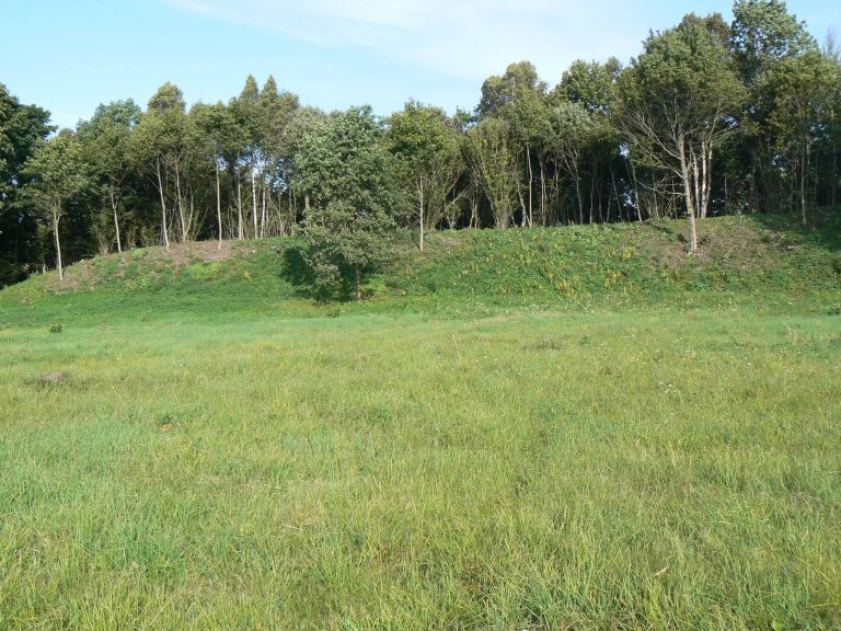
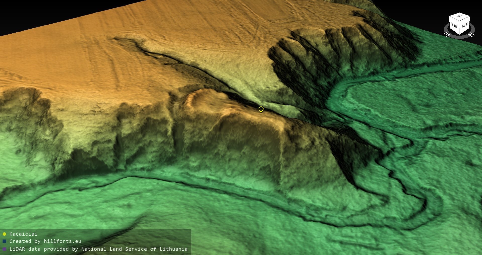
The hillfort occupies a highland spur projecting into the valley at the confluence of the Kartenalė II and Kartenalė I Rivers. Its steep slopes rise 22–24 metres. The eastern side descends toward the Kartenalė II River, the northern side faces the confluence valley, and a broad, deep ravine protects the spur to the west. The nearly triangular plateau extends 30–32 metres from south to north. It is 14 metres wide at the southern edge, then narrows and descends northward, with the northern end more than 2 metres lower.
Plateau rampart
A straight rampart crosses the southern edge of the plateau. It is 23 metres long, 1 metre high, and 20 metres wide. A ditch beyond it measures 5 metres across and 0.5 metres deep, separating the main hillfort from the forework. The rampart was built mainly of sand, while large stones strengthened its base. The eastern part of the plateau and the eastern end of the inner rampart have slid into the Kartenalė II River, and the displaced sections contain no surviving cultural layer.
Forework
The forework is a separate fortified area in front of the principal stronghold. It has a quadrilateral plan, measures 23 metres from east to west and 14 metres across, and rests against the steep riverbank on its eastern side. Its western side descends toward the ravine. A semicircular rampart along its southern edge is 36 metres long, 2 metres high, and 14 metres wide. A ditch outside the rampart is 48 metres long, 9 metres wide, and 2 metres deep.
Foothill settlement and excavated evidence
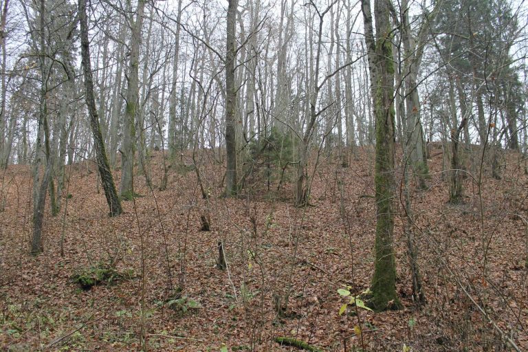
A former foothill settlement occupied 0.24 hectares south of the forework along the highland edge. The hillfort, forework, and northern part of this settlement are wooded, while the southern part of the settlement has been heavily damaged by ploughing.
Investigation of a 31-square-metre area in 1997 found no cultural layer in the northern part of the plateau. In the southern part, the cultural layer reached up to 0.35 metres in thickness and contained handmade pottery with smooth surfaces. The remains of a burned wooden building stood beside the rampart. The excavated deposits were relatively sparse and not intensive.
Earlier object
A polished Baltic-type stone axe with a four-sided butt was found in a pit belonging to former potato cellars. Its form places it between the second half of the second millennium BC and the first millennium BC, providing evidence of activity in the wider area before the hillfort’s main period of use.