Danpusan Kofun: A Keyhole-Shaped Burial Mound in Japan


Site at a Glance
- Rating
- 3.9
- Popularity
- Low
- Country
- Japan
- Primary era
- Medieval
- External website
- Open
- Eras represented
- Classical, Medieval
- Civilizations
- Yamato
- Site type
- Burial
- Remains
- Burial Mound
On this page11 sections
History
Danpusan Kofun is a large keyhole-shaped burial mound in Japan, located in Nagoya, Aichi Prefecture. Built by the society of the late Kofun period, it dates probably to the first half of the sixth century, although another estimate places its construction between the late fifth and early sixth centuries. A kofun was a monumental Japanese burial mound built mainly between the third and seventh centuries. Danpusan is generally understood as the tomb of an Owari clan chief, linking the mound to a powerful regional lineage with close connections to the Yamato royal polity.
The Owari chiefdom
The identity of the buried person remains uncertain. Tradition at Atsuta Shrine identifies the mound as the grave of Miyazuhime, the wife of the semi-legendary imperial prince Yamato Takeru. Other interpretations propose Owari no Kusaka or Menoko-hime, both associated with the Owari ruling house. Menoko-hime is described in early chronicles as the daughter of Owari no Kusaka and, through her marriage to Emperor Keitai, the mother of the later emperors Ankan and Senka. These identifications belong to different historical and traditional interpretations rather than a confirmed identification of the occupant.
The mound has also been understood as a political monument connected with the consolidation of Owari power. One interpretation associates its construction with the movement of an Owari lineage into the Atsuta Plateau area. Danpusan Kofun formed part of a wider chiefly landscape. Shirotori Kofun lies about 300 metres to the south, while Kitayama Kofun, now destroyed, is thought to have stood where Atsuta Baseball Stadium was later built. To the north, the Takakura Site has been interpreted as a settlement occupied by people directly controlled by the person buried at Danpusan.
Danpusan Kofun and nearby Atsuta Shrine are associated with the former heartland of the Owari clan. The chiefly tombs along the western edge of the Atsuta Plateau and the shrine sanctuary on its eastern side have led to the hypothesis that the shrine may have been established in its present location around the sixth century. This proposed relationship places the mound within a wider landscape of political authority and religious tradition.
Shrine tradition and later history
The Atsuta Shrine chief-priest family historically managed the mound as the supposed grave of Miyazuhime. The name Danpusan is understood to derive from that tradition. In 1876, the land became property of Atsuta Shrine. After the Second World War, a land readjustment project transferred the site to Nagoya City, and it came under Aichi Prefectural ownership in 1980.
Archaeological and survey work gradually clarified the mound and its surroundings. Sue ware was collected from the platform in 1929, followed by a Nagoya University survey in 1969 and work by the Aichi Archaeological Discussion Group in 1988. Mound surveying and ground-penetrating radar were carried out in 2017 and 2018. From 2020 to 2022, the Aichi Center for Archaeological Operations, Nagoya City, and the Nara National Research Institute for Cultural Properties conducted excavation and radar investigations, with the results reported in 2024.
Danpusan Kofun became a National Historic Site on 9 July 1987, and the designated area was enlarged on 11 October 2024. The mound and its surroundings are incorporated into Atsuta Jingu Park. A traditional tomb festival is held at Danpusan Kofun and Shirotori Kofun each year on 8 May. Earlier practice permitted entry to the mound on 3 March, when people could view the Atsuta area from its summit.
Remains
Mound and enclosure
Danpusan Kofun stands at an elevation of about 10 metres on the southwestern edge of the Atsuta Plateau. Its rectangular front points toward the south-southeast. The surviving mound measures approximately 151 metres in length, while its original length may have been about 160 metres. It is the largest kofun in Aichi Prefecture and is among the larger late-Kofun-period burial mounds in Japan. Both the rounded rear and rectangular front sections were built in three stepped tiers.
Rear section
The rear section is approximately 80 metres in diameter and 13 metres high. Although generally described as circular, it has also been interpreted as having originally been trapezoidal. The lower tier contains cylindrical haniwa, hollow clay objects placed on or around burial mounds, together with smaller quantities of morning-glory-shaped and figurative fragments.
Front section
The front section is about 116 metres wide and approximately 16 metres high, with one measurement giving a height of 16.2 metres. Its greater width and height than the rear section are characteristics associated with late-Kofun-period tombs. The southeastern corner, corresponding to the right corner of the front, has been cut away. Survey evidence also indicates alteration to the front face, contributing to the estimate that the mound originally measured about 160 metres.
The mound was originally surrounded by a moat. The water-filled feature visible today was made during the Showa period and is not the original moat. Cadastral maps from 1885 show an earlier, broad shield-shaped enclosure that was substantially larger than the modern one. The original arrangement may also have included a second outer moat and a projecting section on the inner embankment. By 1885, about one-third of the northwestern part of the rear section had disappeared, while portions of the mound and moat had been used as fields.
Platform and surface features
Western platform
A projecting platform stands at the western junction of the front and rear sections. It measures about 25 by 17 metres. Its purpose is uncertain, although it may have served as a ceremonial stage. Numerous fragments of Sue ware were recovered there. Sue ware was a high-fired gray pottery made in climbing kilns and used in Japan from antiquity.
Haniwa rows
Rows of cylindrical haniwa lined the exterior of the mound. Some of the cylindrical examples are unusually large, with at least six bands and seven or more tiers. The haniwa use both Haji-ware and Sue-ware fabrics. Haji ware is a lower-fired earthenware tradition, generally reddish or brownish in appearance. One interpretation connects the haniwa with the Higashiyama kiln area, part of the wider Sanage kiln group. Haniwa from the Takakura Site are also thought to have originally stood at Danpusan Kofun.
Condition and archaeological interpretation
The present mound form was repaired in connection with its designation as a historic site. The accuracy of that restoration remains uncertain, including the form and reconstruction of the projecting platform. Rounded river stones found around the mound are interpreted as possible fukiishi, or stone surfacing. The haniwa and Sue ware belong approximately to the late fifth through the first half of the sixth century, reinforcing the mound’s place in the transition to the late Kofun period.
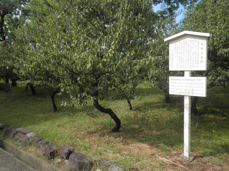
Large quantities of Sue ware were reportedly recovered from the platform and other parts of the mound, but most of this material has been lost. Surviving pieces consist of small fragments whose original forms are unknown. They are kept at the Toyota City Museum of Local History and the Nagoya City Miharashidai Archaeological Museum. Haniwa from Danpusan Kofun are held or displayed at the Nagoya City Museum, the Nagoya City Miharashidai Archaeological Museum, and the Nanzan University Anthropological Museum.
A lost Sue vessel, described as a high-footed dish with subsidiary vessels, has contributed to theories linking Danpusan Kofun with earlier chiefly tomb groups in the southern Mizuho Plateau and with Obata-Ikeshita Kofun, which no longer survives. Together, the mound’s scale, surface fittings, pottery, and position within the Atsuta Plateau landscape provide the principal archaeological basis for interpreting it as a burial monument of the Owari ruling house.