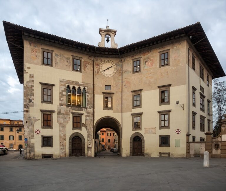
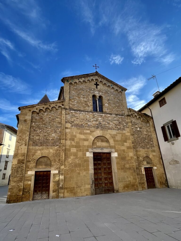
City Walls of Pisa: A Medieval Defensive Circuit
Site at a Glance
- Popularity
- Medium
- Country
- Italy
- Primary era
- Medieval
- Eras represented
- Medieval, Early Modern, Modern
- Civilizations
- Holy Roman Empire, Republic of Florence, Republic of Pisa
- Site type
- Military
- Remains
- Wall
On this page11 sections
History
The city walls of Pisa form a defensive circuit in Pisa, Italy. The main surviving circuit was begun in 1155 by the Republic of Pisa, a medieval maritime state. The walls are described as Italy’s oldest city walls preserved almost in their entirety, and their successive lines reflect the city’s growth and changing defenses.
Roman and early medieval defenses
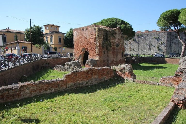
At least three defensive circuits are known: Roman, early medieval, and the later republican circuit. Pisa probably had fortifications in the Roman period, when the earliest circuit ran along the right bank of the Arno. After the Western Roman Empire fell, the city developed its own defenses. Between the fifth and ninth centuries, a new wall enclosed the residential area between the Arno and Ozzeri rivers. It left the baths and amphitheatre to the east and the commercial district south of the Arno outside the circuit. These outlying areas declined, and buildings there were dismantled for stone.
The early medieval walls had two principal entrances. Porta Aurea, on the southern side facing the Arno, was linked with the return of Pisans from successful maritime expeditions. To the north, Porta del Parlascio faced the Ozzeri and served as an entrance for prominent visitors. As Pisa’s seaborne activity and trade expanded, residential and religious districts grew, especially to the east and northeast, as well as westward into marshland beside the Ozzeri. A satellite settlement on the Arno’s left bank drew people of varied origins and religions, who worked in storage, commerce, manufacturing, and caravan depots.
The republican circuit
Construction of the new walls began in 1155, during the consulship of Cocco Griffi. In medieval Italian cities, a consul was a senior civic official. Work proceeded without particular urgency, with an initial expectation that it would take about 15 to 20 years. Only a short northern section followed the early medieval line; the rest was newly built. The northern section was completed in 1161 and the southern one in 1186. The old citadel, first left beyond the circuit, was brought inside it in 1284.
The expanded enclosure shaped a planned urban layout organized around the Borgo–Via di Ponte Vecchio axis and the Arno. The river divided the city into four roughly quadrangular sectors. The new walls enclosed residential and religious districts that had developed beyond the earlier boundary.
Florentine rule and military changes
After Florence conquered Pisa, the Medici, a powerful Florentine family whose members ruled Florence and Tuscany, directed several phases of wall restoration. Work took place from the early fifteenth century to 1494 and again during the sixteenth century. New bastions, projecting defensive structures, and other fortifications adapted the defenses to firearms. The Bastion of Barbagianni was built where French troops under King Louis XII, who ruled from 1498 to 1515, had heavily bombarded the walls while assisting Florence.
The New Citadel became a Florentine military outpost, and its construction required the demolition of a residential quarter. The Guelf Tower was built in the Terzanaia area. The Parlascio bastion guarded the northern entrance, while the Stampace bastion was constructed southwest of the city. Porta del Parlascio was incorporated into the republican circuit, then reduced several times under Florentine rule and closed on its northern side by a bastion. Porta a Lucca opened nearby, while Porta Santo Stefano was also closed. The later openings called Porta a Mare and Porta Buoza inherited older gate names, although they were not in the same locations as their predecessors.
In 1626, additional defenses were built close to the walls, including earth bastions, ramparts, and protected passages. These works later disappeared. The walls served successively under the Republic of Pisa, the Republic of Florence, the Duchy of Florence, and the Grand Duchy of Tuscany, successive forms of Tuscan rule.
Demolition, damage, and restoration
Demolition began in 1864, when Porta San Gilio was removed to create an entrance square, now Piazza Vittorio Emanuele II. Under Italian architect and urban planner Vincenzo Micheli’s 1871 plan, sections along Via Benedetto Croce were taken down to open the neighborhood. Other sections on Via Nino Bixio, near the church of San Paolo a Ripa d’Arno, were removed for the Pisa–Marina di Pisa tramway. A further stretch and the Bastion of the San Gallo Fortress were cleared for the approach ramp to the new Ponte della Vittoria. Later road and urban projects brought further losses. In 1929, the section between Via Bonanno Pisano and Via Paolo Savi was demolished to allow the Santa Chiara hospital to expand. Some sections were also damaged during the Second World War.
Restoration from 2012 to late 2016 covered northern and northeastern stretches, adjoining land, and the elevated walkways. In 2016, work to install underground waste containers near Via Cardinale Maffi revealed remains of the early medieval walls.
Remains
Circuit and masonry
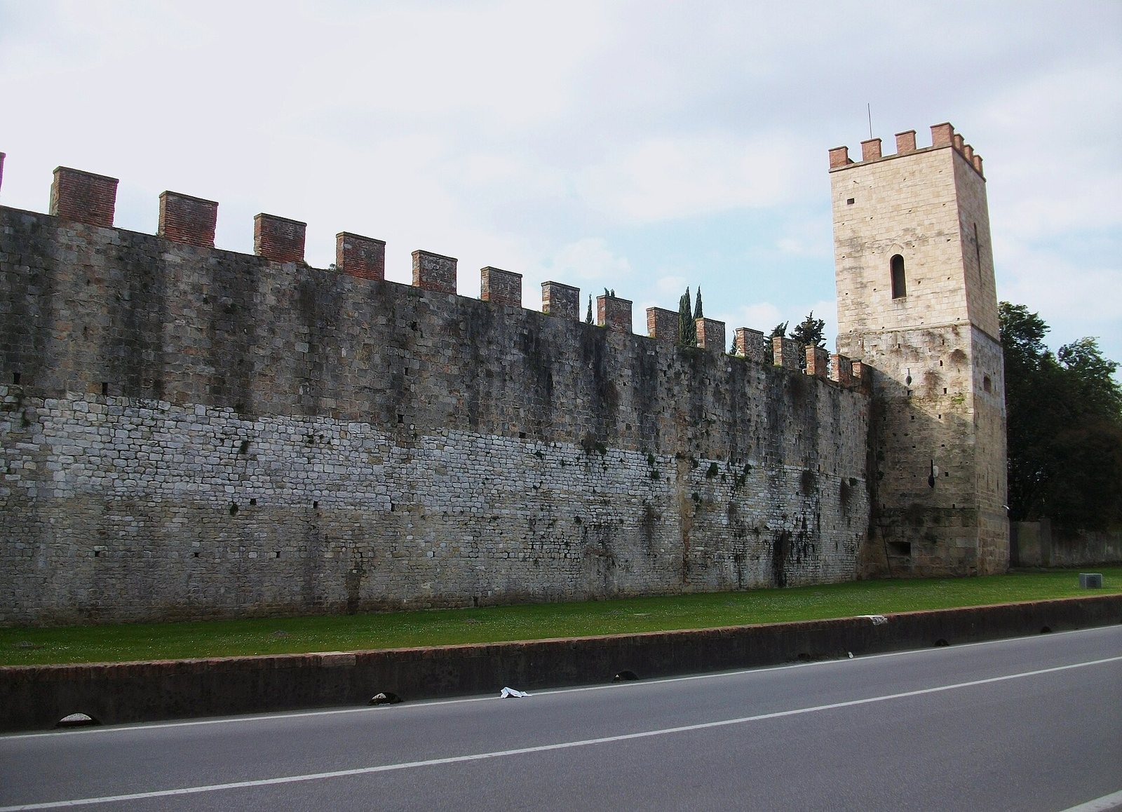
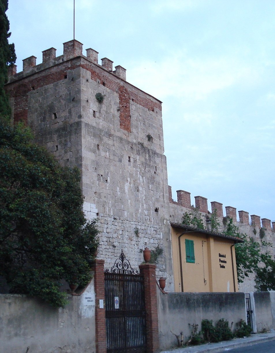
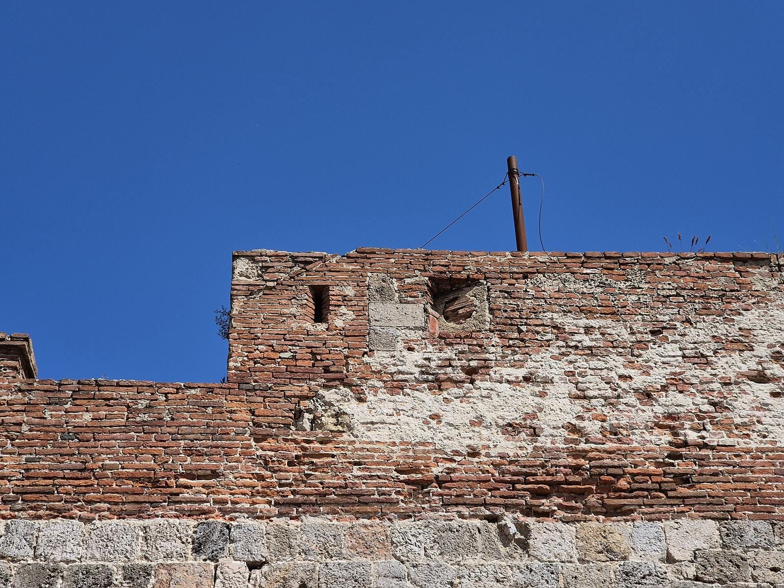
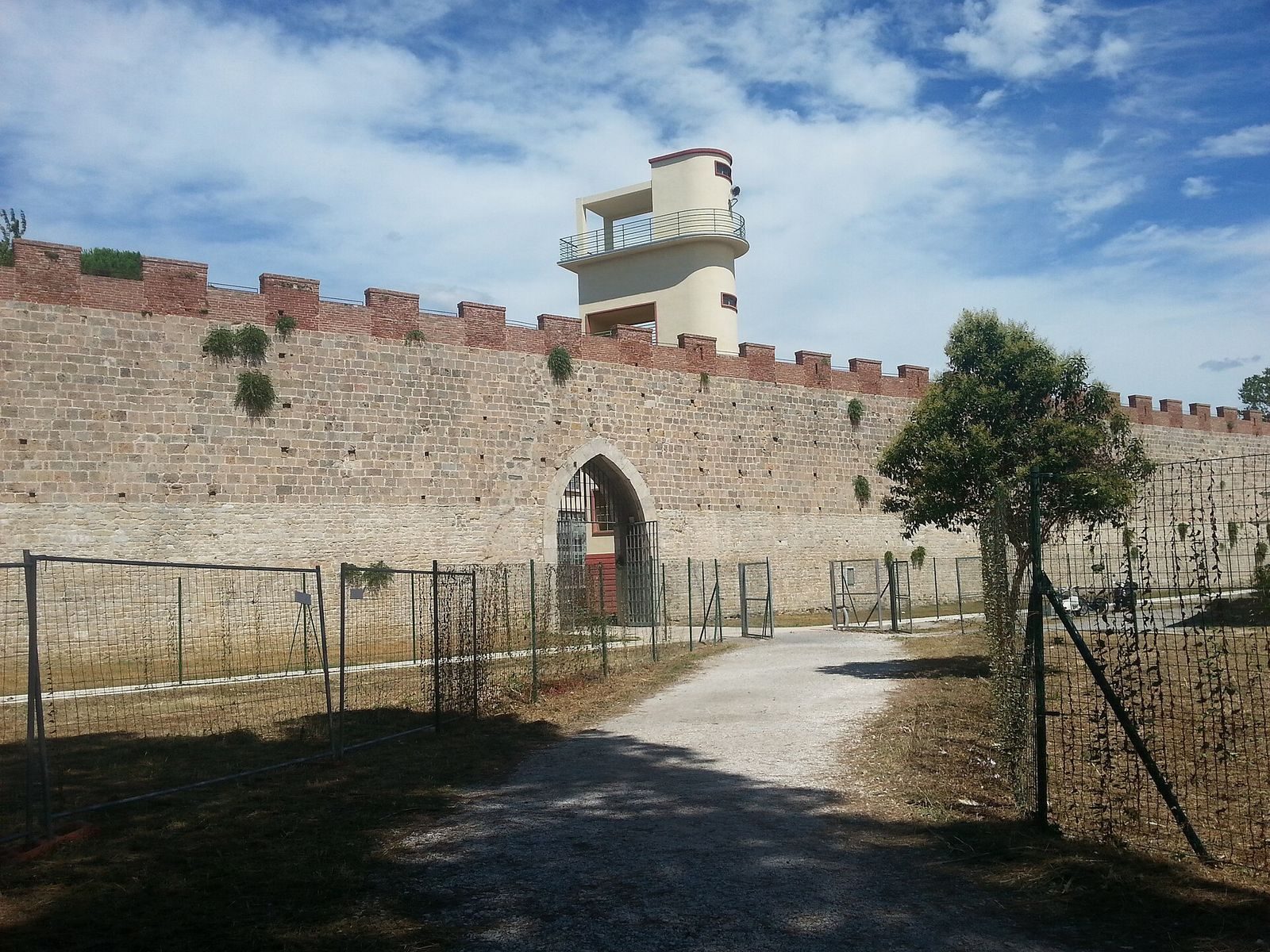
The republican circuit enclosed about 185 hectares on both banks of the Arno. Its perimeter was roughly six kilometres, while the original walls measured just under seven kilometres in length. They averaged about 11 metres high and 2.2 metres thick, with roughly two metres below ground. About 4.9 kilometres survive, mostly north of the river. The earliest masonry uses large blocks of panchina, a local sedimentary stone from the Livorno area. Other stretches combine materials: gray lower courses in the north prominently use limestone from San Giuliano Terme, while pink upper courses include squared blocks of Asciano breccia, a rock formed from cemented angular fragments. The squared stonework creates pale lower and pink upper surfaces, and raised sections along the wall tops are about 1.5 metres high. In the east, remnants of the older walls are incorporated into houses and can be identified along the left side of Borgo Stretto.
Entrances
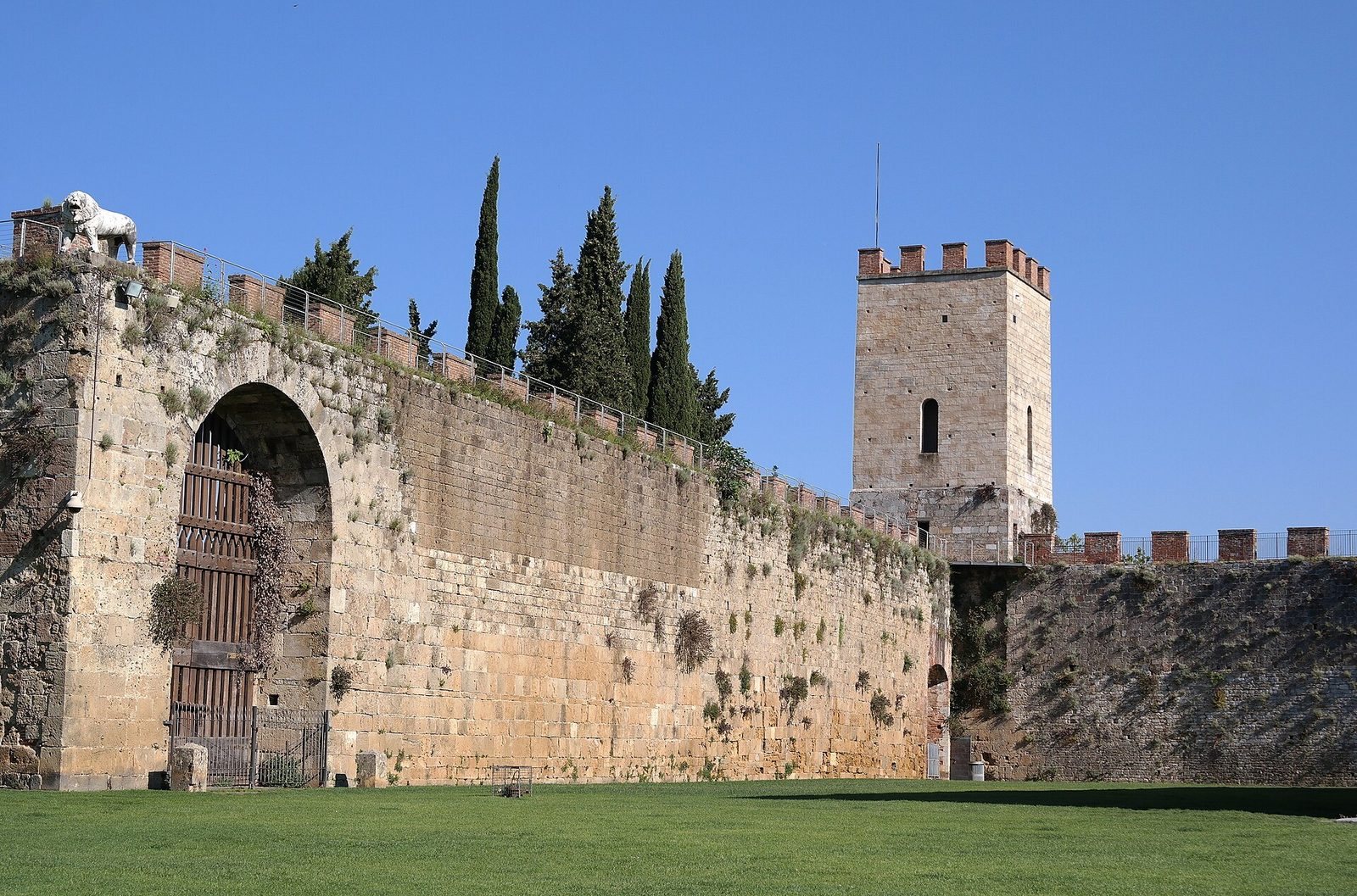
The large, decorated Porta del Parlascio remains visible within the later circuit. Porta Aurea has disappeared; it was probably decorated and stood beside the church of San Salvatore in Port’Ori, on the site now occupied by Santa Maria dei Galletti. Other identified gates include Porta a Mare, Porta Buoza, Porta Santo Stefano, Porta Calcesana, Porta di Santa Marta, Porta San Zeno, Porta a Lucca, Porta San Ranierino, Porta San Martino in Guatolongo, Porta del Leone, and Porta Nuova. Porta Santa Marta is associated with the Medici Fountains on the Piazza delle Gondole side.
Towers
The defensive towers include the twelfth-century towers of Santa Maria and the Lion, the thirteenth-century towers of Sant’Agnese and San Martino in Guatolongo, and the fifteenth-century Guelf Tower in the Terzanaia area. Torre del Catallo is also among the surviving or visible towers.
Citadels and other fortifications
The visible fortifications include the thirteenth-century Citadel of Pisa, the fifteenth-century New Citadel and Parlascio bastion, and the sixteenth-century Barbagianni bastion. The Bastione San Giorgio and Stampace bastion are also surviving features.
Elevated walkway and condition
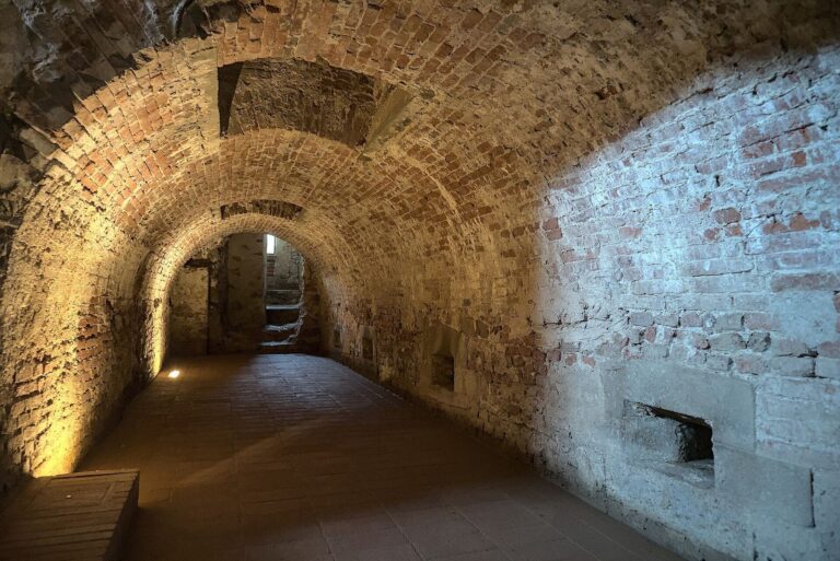
The restored elevated walkway extends for 3.1 kilometres from the Tower of Santa Maria to Piazza del Rosso. Access points include the area beside the pressure-regulating water tower at the Marzotto complex, near Porta Pacis, and Piazza delle Gondole. Restoration work used white mortar stucco, partly filled battlements with brick inserts, and added protective railings. Architect and urban planner Massimo Carmassi criticized these changes as too intrusive, especially the white mortar and the visual effect of the railings. In the late twentieth century, air pollution darkened the masonry and ivy threatened the stability of some sections. Garages, storerooms, and sheds were also built against stretches of the thirteenth-century wall faces.