Château de Montfort: A Medieval Castle in Crolles, France


Site at a Glance
- Rating
- 4.6
- Popularity
- Very Low
- Country
- France
- Primary era
- Medieval
- External website
- Open
- Eras represented
- Medieval, Modern
- Civilizations
- French, Holy Roman Empire
- Site type
- Military
- Remains
- Castle
On this page6 sections
History
Château de Montfort, also locally called Château Robert, is a medieval stone castle in Crolles, France, dating from the thirteenth century and associated with the Dauphins of Viennois, the rulers of the medieval Dauphiné. The site was first recorded in 1069 as Montis Fortis, when a castle mound probably occupied the natural promontory before the stone fortress was built.
The Dauphins of Viennois
The castle belonged to the Dauphins of Viennois during the thirteenth century. Béatrice de Faucigny, the Grand Dauphine, resided there in the early fourteenth century, a period when the principal medieval buildings were probably constructed. A survey made in 1339 under the authority of Humbert II of Viennois provides the first detailed description of the castle.
In 1343, Humbert II, the last Dauphin of Viennois, granted Château de Montfort as a fief to the local lord Amblard de Beaumont. A fief was land held from a superior in return for service or allegiance. Amblard de Beaumont’s family retained the castle until 1617, by which time it was already ruined.
Later ownership and conservation
During the following century, the property belonged to Claude Frère, the new lord of Crolles, and to his descendants. The Guérin family acquired it in 1717. Ownership then passed by inheritance through the de Barral and de Bernis families, and the de Bernis family remains its owner.
The castle was remodeled during the nineteenth century. In the modern period, the association Les Raisonneurs de pierre undertook archaeological excavations, consolidation work, and limited partial restoration. These interventions helped preserve and clarify the surviving ruins.
Remains
Setting and overall layout
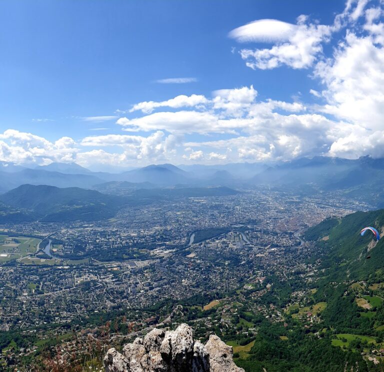
The ruins stand north of Crolles, between Crolles and Lumbin, on a slope below the eastern cliffs of the Chartreuse Massif, the Petites Roches plateau, and Bec Margain. Their elevated position overlooks the hamlet of Montfort and the Grésivaudan Valley. The wooded site is bordered by the Montfort stream, which separates it from the lower station of the Saint-Hilaire-du-Touvet funicular.
The surviving remains follow the shape of the hill or mound, forming an overall plan described as a flattened triangle or half-moon. The enclosure was slightly less than 100 metres long and connected a guard post at one end with a kitchen at the other. Internal walls divided the enclosed area into several spaces, including interior courtyards. Dense woodland partly conceals the ruins, while the general outline of the castle remains recognizable.
Buildings described in 1339
The 1339 survey measured the enclosure internally at 47 toises. A toise was an old French unit of length, and the historical description preserves the measurement in that form. Several buildings stood within the enclosure, including a square tower 28 metres high with four storeys, two halls placed one above the other, chambers with privies, a storeroom, and a kitchen.
One hall had a fireplace and was lit by four paired windows. The entrance was formed by a stone portal surmounted by a guardroom. The site now has a safety zone because of the risk of falling stones and unstable ground.