Castra of Klosterneuburg: A Roman Danube Frontier Fort
Site at a Glance
- Popularity
- Medium
- Country
- Austria
- Primary era
- Classical
- Eras represented
- Classical, Medieval
- Civilizations
- Duchy of Austria, Habsburg, Holy Roman Empire, Roman
- Site type
- Military
- Remains
- Fort
On this page21 sections
History
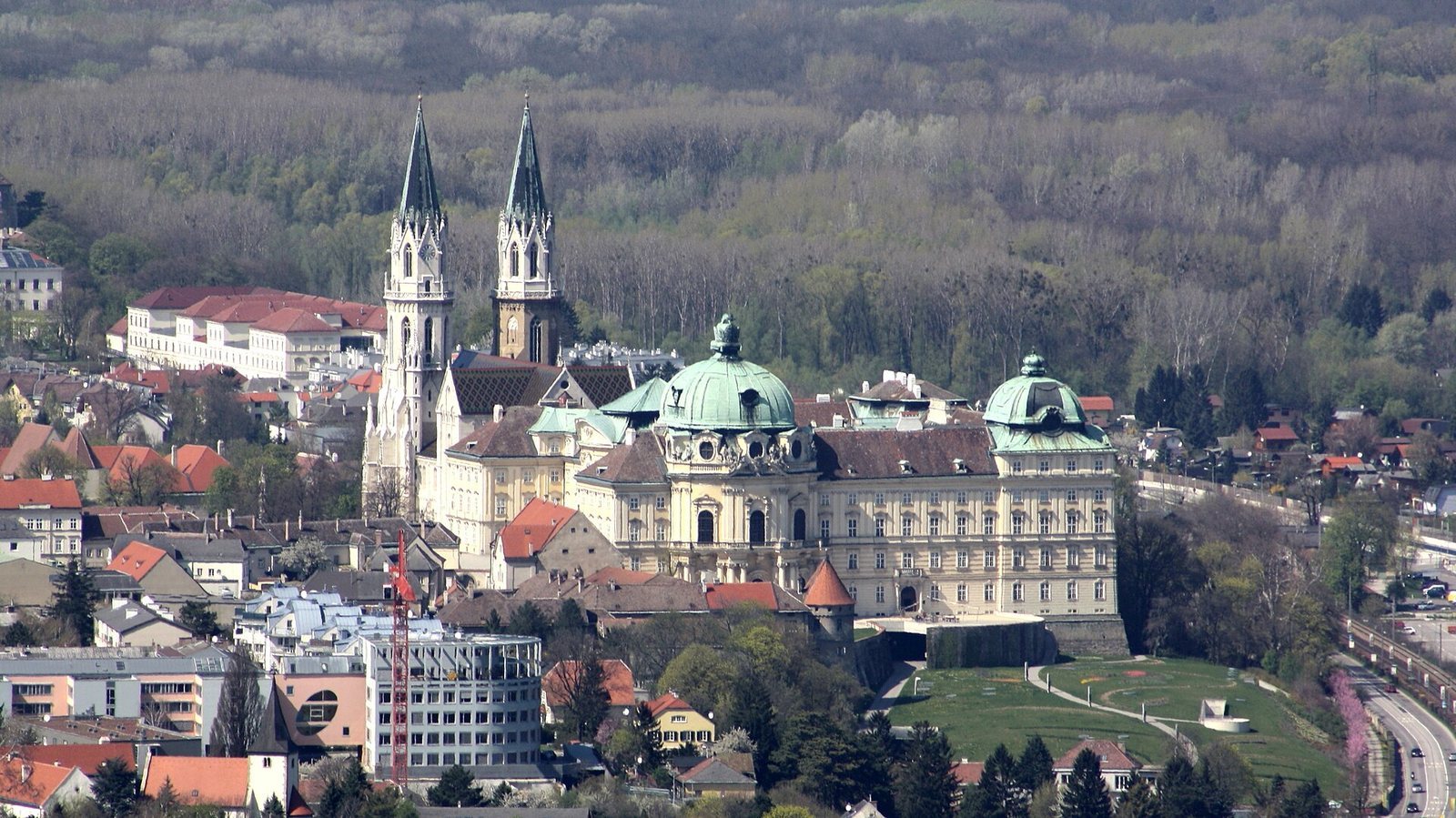
The Castra of Klosterneuburg was a Roman frontier fort beneath the oldest part of Klosterneuburg, Austria. Established in the first century AD, it became the westernmost fort in the western sector of the Pannonian Danube frontier. Its garrison guarded a river crossing and routes linking the Danube with important military and regional roads.
The fort and its garrison
The fort stood near a ford where a route from the Mušov region crossed the Danube to meet the road along its southern bank. The Limes road, the Roman frontier route along the middle Danube, connected Vindobona, at present-day Vienna, with Lauriacum farther west. Another road ran through the Kierling Valley toward Greifenstein. The fort’s earliest occupation is associated with the Flavian period, while tree-ring evidence dates its first timber-and-earth installation to the middle of the first century.
The fort’s ancient name is unknown. It was initially identified with Citium, a road station shown near Tulln on the Peutinger Map, a medieval copy of a Roman road map. Other proposed names include Quadriburgium, Arrianis, Asturis, and Cannabiaca, but none is established. Favianis, a late-Roman place associated with accounts of the Christian leader Severinus of Noricum, has also been suggested. That identification remains uncertain, as does the possibility that it would imply a later transfer from the province of Pannonia Prima to Noricum Ripense. Stamped bricks connect the fort with Pannonia; the provincial boundary with Noricum probably ran through the Kierling Valley.
Auxiliary troops, forces serving Rome outside its legions, formed the early garrison. Cohors I Montanorum and Cohors II Batavorum are associated with this period, although their exact dates at the fort are uncertain. The Batavian cohort may have served there from about AD 70 to 100. From around AD 100, Cohors I Aelia sagittariorum, a roughly thousand-strong unit with a mounted element, was probably stationed at Klosterneuburg and remained associated with it into the fourth century. Inscriptions name the third-century army officers C. Aur. Cresces and Flavinus, whose inscription is incomplete, and a second-century tesserarius, a junior officer responsible for watchwords.
Brick stamps indicate that the unit, bearing the honorary name Severiana, remained at the fort under Severus Alexander. Its later history is unclear, and it may have been reorganized as a cavalry force. Stamps also link Legio X Gemina to work at the site, apparently as a construction detachment and supplier of bricks rather than the regular garrison. Legio XIV Gemina may have taken the cohort’s place, but its role is uncertain. Finds from Klosterneuburg do not support a proposed stationing of Cohors I Asturum.
Late Roman settlement and abandonment
In the early fourth century, changes to the frontier system placed the garrison among the limitanei, or frontier troops. Civil wars, Germanic incursions, and the transfer of soldiers to mobile field armies weakened the local force. By the end of the fourth or the beginning of the fifth century, civilians occupied much of the fort, which had become a defended settlement. Allied Germanic groups were also settled south of the Danube for frontier service. The last ancient occupation layer at Klosterneuburg includes simple clay dwellings, possibly built by Suebi or Marcomanni. Coin use continued into the reign of Honorius.
Most inhabitants who followed Roman customs probably left for Italy in AD 488 on the orders of Odoacer, the Germanic military leader who ruled Italy. The clay dwellings burned toward the end of the fifth century, after which the fort and plateau appear to have been abandoned. Substantial resettlement followed in the tenth century or, more probably, the eleventh.
Medieval occupation and archaeological investigation
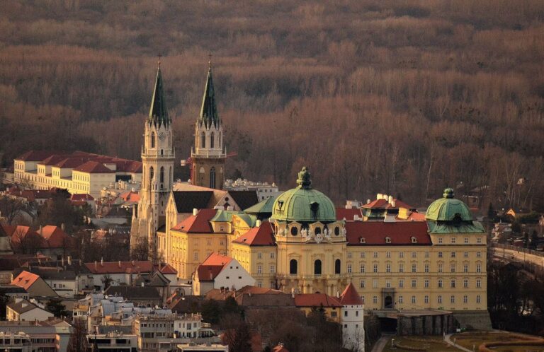
Margrave Leopold III, a frontier ruler of the Babenberg dynasty, found a settlement among the Roman ruins and chose the area for his residence. Roman ashlar blocks were reused in the construction of the Babenberg castle. The fort’s location was debated before finds established it beneath the oldest part of the town, on the monastery plateau. Stockerau and Zeiselmauer were among the earlier suggested locations.
Roman finds came to light during work at the abbey as early as 1736, when a vessel containing silver coins spanning the time of Julius Caesar to Decius was discovered. Building work in the early nineteenth century yielded further coins and possible graves. Three inscribed stones were found in 1834, followed by brick stamps and other Roman material in the following years. In 1838, bronze fragments uncovered behind the abbey church’s main apse were identified as part of a military diploma issued on 13 June AD 80.
Scientific excavations began in 1953 under Karl Oettinger to investigate the Babenberg residence and Capella Speciosa. After Roman remains were encountered, the Austrian Archaeological Institute joined the work. Excavations in 1953–54 and 1977, followed by investigations in later decades and from 1991 to 2003, clarified the fort, roads, cemetery, buildings, and defences. The remains form part of the Danube Limes, a UNESCO World Heritage property since 2021, and are protected as archaeological monuments under Austrian law.
Remains
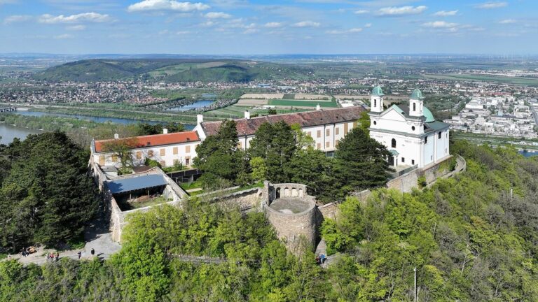
The fort occupied a rocky terrace between the Danube and the foot of Buchberg, with the Kierlingbach and Weidlingbach streams bordering it to the north and south. The ground slopes gently toward the river. The camp was an elongated rectangle aligned southwest to northeast, covering about 2.2 hectares and measuring approximately 110 metres across on its northwest-to-southeast axis. Its rounded corners were enclosed by two V-shaped ditches. The medieval monastery now occupies about half the camp area, while the abbey and old town cover much of the wider site.
The northern boundary may have followed the monastery’s north wall, and the southern side has been proposed near the southwest wall of the abbey cellar. The western wall may have stood at the terrace edge above the Kierlingbach, where erosion could have affected its remains. Roman masonry in the cloister and south of Sebastian Chapel follows the presumed line of the eastern wall. The fort’s extent has been traced as far as Hundskehle.
Camp buildings and defences
Timber and stone buildings
The first camp was built of timber and earth, and its exact dimensions are not known. Timber towers, gates, barracks, storage buildings, and administrative structures had timber-framed walls coated with clay. Evidence indicates two building phases; the second extended the rear part of the camp. Decay, fires, and possible enemy attacks prompted repeated rebuilding by about AD 100.
Around AD 100, the defences were rebuilt in stone, and masonry construction spread within the camp. A north-to-south barrack had a columned porch and tiled roof. Later rebuilding and modernization took place from the late second and early third centuries. Buildings dating from the first to fourth centuries were found beneath the cloister, and some were conserved. Barrack remains were also identified below Leopold Chapel; traces near Sebastian Chapel were disturbed by a medieval cemetery.
Southern defences and towers
Excavation east of Albrechtsgasse exposed the rounded southern corner and an inward-set rectangular tower. The fort wall there was about 90 centimetres thick and curved through a quarter-circle. A fan-shaped tower was later added at the corner. A separate rounded masonry line recorded north of the horseshoe tower may have belonged to the gate known as the porta principalis dextra, though that identification is uncertain.
The southeastern horseshoe tower, built in the fourth century, partly covered an earlier rectangular tower. Its U-shaped front projected about 7.2 metres beyond the fort wall, and the structure measured roughly 6 by 10.6 metres. The front wall was 1.4 to 1.6 metres thick; the rear was about 1.1 metres thick. Its shallow, flattened arch gave the outer corners a sharp profile. The tower’s high foundations were set into the earlier ditch. Its walls used rubble masonry with a core of rubble, brick, and mortar, faced with regularly dressed blocks. A doorway about 1.1 metres wide stood at the rear.
The earlier tower, dated to the early second century, was a slightly irregular rectangle measuring about 4.2 by 4.8 metres. Its rubble foundations had three uneven courses without mortar, while the upper walls were carefully laid with marked joints. In late antiquity, part of its southwest corner was demolished, apparently to make room for another building.
Camp bath
Heated rooms of Building A
The bath stood just inside the southeastern wall. Its heated Building A contained three rooms aligned northwest to southeast. Room I, enlarged with two apses, served as the hot room, with a furnace beside its side apse. Room II was probably a warm room, heated together with Room III. The latter had the only entrance to the heated section and may also have been used as a warm room. Brick heating ducts in Room II may reflect a later alteration. The building widened by about a metre toward the southeast, and its walls did not follow one consistent alignment.
Brick stamps date the first building phase to the reign of Valentinian I or Theodosius I. Earlier bricks and roof tiles were reused in its construction. A substantial burnt layer may mark the end of this phase. In a probable early fifth-century repair, some floors were raised, closing openings between Rooms I and II; wood ash suggests a plank floor. This phase also ended in fire. Later work added brick-framed heating openings and a simple heating duct. The bath stopped functioning by the fifth century.
Hall of Building B
An unheated hall, Building B, lay northeast of the heated rooms and was probably added later. Its southeastern apse may have contained a pool. The hall may have served several purposes, including use as a cold room or changing area. The northern end was cut by a later cemetery. Walls in both buildings were about 60 centimetres thick, constructed of rubble with brick fragments; bricks also formed parts of the floors, heating openings, and a partition in Building B. The bath walls were stabilized in 1954 and then reburied.
Roads, gates, and frontier installations
Roads and ditches
The Limes road from Vindobona passed the fort along Buchberg rather than running through the camp. A road from the western gate joined it, and a likely southwest exit route continued toward the Weidling Valley. At Rathausplatz, the western road was found about 2.6 metres below ground as a paved surface roughly five metres wide, bordered by drainage ditches. Because the route crossed wet ground formerly traversed by a stream, it rested on a substantial foundation of broken stone and gravel. Finds in roadside drains and wheel ruts also point to the southwest route.
Eastern gate and possible outer enclosure
In late antiquity, two milestones were reused as door jambs at the eastern gate, and an altar served as its threshold. The ditch was recut to accommodate the southeastern horseshoe tower. A separate ditch near the Buchberg cemetery may have enclosed a Roman marching or training camp.
Frontier watchtower
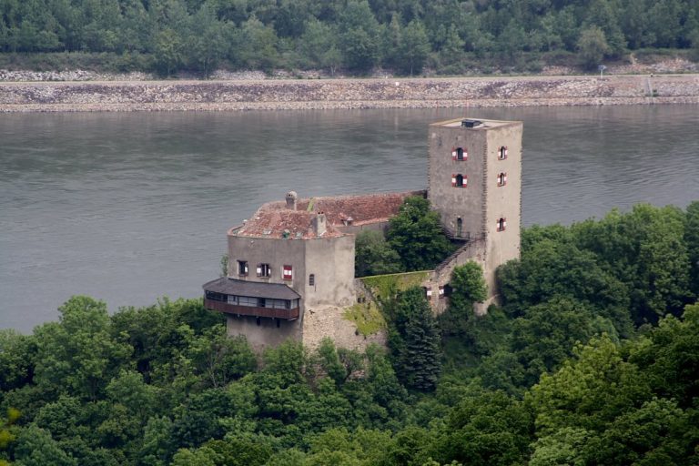
A separate late-Roman watchtower between Klosterneuburg and Vindobona is represented by a substantial rubble-wall remnant. Its surviving sections measure 3.6 metres from west to east and 2.7 metres along the south, meeting at a slightly rounded corner. The wall is 1.26 metres thick and survives to a height of 1.1 metres. Brick stamps associated with frontier commander Ursicinus suggest construction under Valentinian I. The tower may have watched the Danube floodplain and relayed signals along the frontier. Other towers proposed near Maria Gugging and Greifenstein remain uncertain identifications.
Civilian settlement and burial grounds
Civilian settlement
The civilian settlement associated with the fort lies beneath the upper town. It probably curved around the camp from east to west, reaching close to the eastern ditch, and may have extended south toward Buchberg. Wall-painting fragments and imported pottery point to modest prosperity. Its precise plan and road pattern are not established.
Cemeteries and grave monuments
Burial grounds lay beyond the built-up area, at the foot of Buchberg beside the roads. Early cremation burials extended along the Limes road toward the Kierling Valley. Excavations in 1983–84 uncovered cremations, some cut by later graves, as well as horse burials. From the late third century, people were buried in simple inhumation pits or in brick- or stone-lined graves, sometimes with grave goods. A late-antique cemetery lay southeast of the fort, descending from Buchberg; burials may also have been placed within the fort in that period.
Gravestones recovered from a cistern at Kuchlhof were carved from similar Vienna Woods or Greifenstein sandstone, suggesting a local workshop. Their inscriptions distinguish soldiers from civilians, while local names generally lack Roman-style personal names. One monument names veteran Ulpius Avitus, aged 75 and formerly of Cohors I Aelia sagittariorum, his wife Victorina, aged 40, and their children Emeritus, Avita, and Superia. Their daughter Victoria commissioned the burial. Another family inscription, probably from the early third century, names Crescentina and her sons Karinus and Crescens, along with other relatives for whom the tomb was intended.
Inscriptions and excavated objects
Military diploma
The bronze fragments found in 1838 formed part of a military diploma issued under Titus on 13 June AD 80. It granted Roman citizenship and legal marriage rights to discharged soldiers and their families. The document concerns Soio, son of Muscellus, an infantryman of Cohors I Montanorum, and includes the names of his commander and witnesses. The diploma does not by itself show that this cohort was stationed at Klosterneuburg.
Other finds and collections
Finds from the site include coins, pottery, imported tableware, a fragment of scale armour, inscribed stones, a votive altar, and numerous Roman bricks. Brick stamps include one bearing the inscription OFARNVRSICINIMG; its abbreviation has several proposed interpretations. A vessel of silver coins found in 1736 ranged from issues of Julius Caesar to those of Decius. Roman inscriptions and objects are held in the abbey lapidarium, while other finds, especially from the civilian settlement, are kept in the town museum. A small excavated section north of the cloister was conserved in 1997, preserving wall traces from the first to the fourteenth century.