Hesselbach Fort: A Roman Military Fort on the Odenwald Limes
Site at a Glance
- Popularity
- Low
- Country
- Germany
- Primary era
- Classical
- Eras represented
- Classical
- Civilizations
- Roman
- Site type
- Military
- Remains
- Fort
On this page20 sections
History
Foundation and Roman occupation
Hesselbach Fort was a Roman fort for a numerus, a Roman military unit, near Hesselbach in Germany, on the Odenwald section of the Neckar-Odenwald Limes, the Roman frontier system. Founded during the period of Emperor Trajan, it remained in Roman use until about AD 159/161, possibly as late as AD 165. It was the southernmost Roman fort in Hesse and later became a principal reference for studying forts along the Odenwald frontier.
The garrison’s identity is unknown. It may have been a unit associated with Britons, and the headquarters building suggests that the soldiers could operate as a tactically independent force. Estimates of the garrison range from about 130–140 men to roughly 160.
The precise foundation date remains uncertain. Pottery has been used to place the fort’s establishment in AD 95–105, while a later statistical reassessment of coin evidence from forts across the wider frontier favored AD 107/110. That reassessment did not involve new excavations.
Withdrawal and later use
After Roman troops moved to a newer frontier line in the Miltenberg–Walldürn–Osterburken area, the fort site saw brief civilian and industrial activity. An ironworking enterprise probably ended after only a few years because the local ore yielded too little to make it worthwhile. The scale of civilian use is uncertain. The small number of finds has also prompted the suggestion that the fort was evacuated peacefully rather than destroyed, though this remains an interpretation.
Investigation and protection
Ernst Christian Hansselmann mentioned the fort in 1768, and Johann Friedrich Knapp later investigated the Odenwald frontier for Count Franz I of Erbach-Erbach. A Hessian commission made a limited examination and questioned whether the remains represented a fort. The Imperial Limes Commission excavated the site in 1895 under Friedrich Kofler and published its findings the following year.
In 1961, archaeologist Dietwulf Baatz used observations of gate structures at Gholaia, a Roman fort in Tripolitania, to develop reconstructions of Hesselbach’s gates. He then directed extensive excavations at Hesselbach from 1966 to 1968 for the Saalburg Museum. The investigation of the fort’s interior made it the best-studied fort for a numerus on the Odenwald line and a key reference for interpreting other forts there. Hesselbach Fort and the adjoining frontier works are protected as archaeological monuments under Hessian heritage law.
Remains
Enclosure and defenses
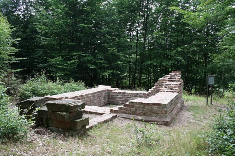
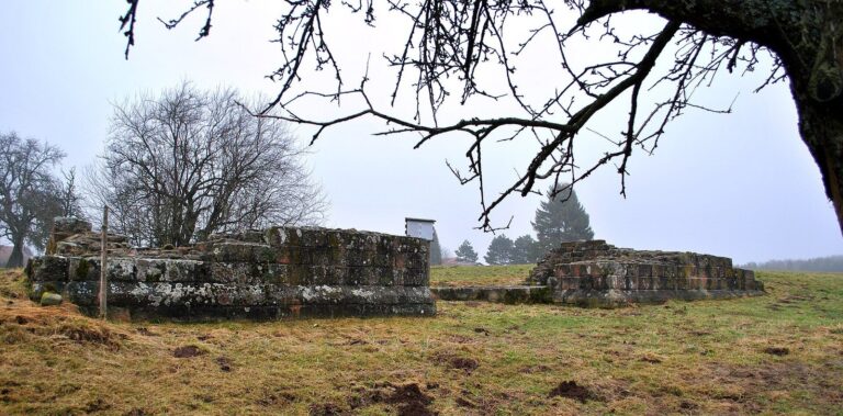
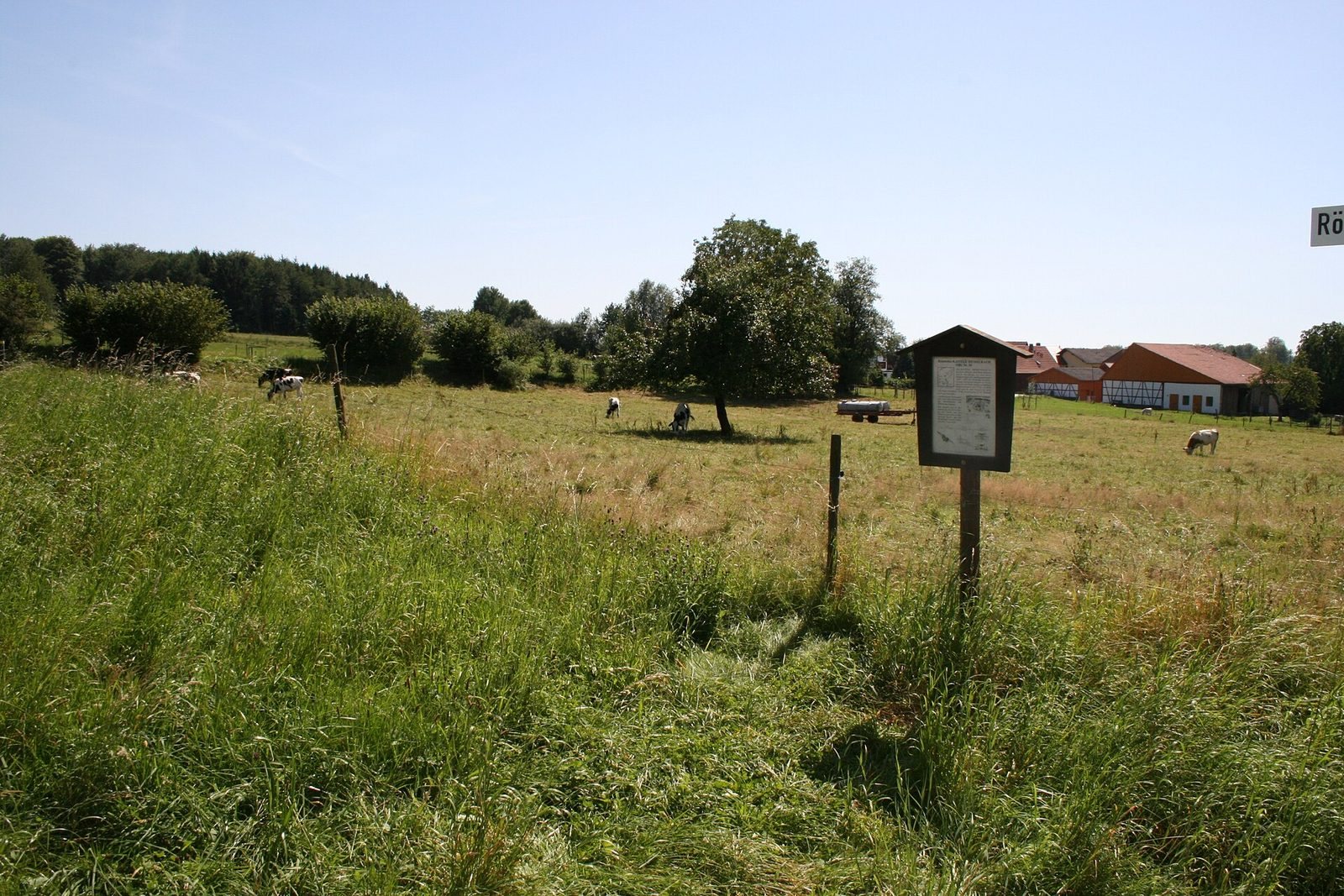
The remains occupy a ridge plateau about 489 metres above sea level, at the northeastern edge of Hesselbach near the Hesse–Bavaria border. The enclosed fort covered roughly 6,000 square metres, measuring about 80 by 73 metres. Its perimeter outline can still be seen in the open meadow. Modern roads follow the front and sides, farmland lies to the rear, and the Limes ran about 150 metres to the east. The front gate faced the frontier, while the right-hand side gate had the widest passage and probably served as the main entrance.
Timber-and-earth enclosure
The earliest perimeter, built during the Trajanic period, used a wooden palisade set on an earth bank reinforced with timber posts. The posts also supported a simple walkway. Beyond a narrow level strip lay a defensive ditch with a steeper outer slope than inner slope. Three gates, one at the front and one on each side, had wooden towers supported by six posts apiece.
Dry-stone enclosure
Between AD 115 and 130, a double dry-stone wall replaced the palisade. It was about 5.0–6.9 metres wide, with an outer stone face up to 1.5 metres thick and a somewhat narrower inner face. Earth containing timber inserts filled the space between them. Both faces were built from unworked local sandstone. A plank walkway and an outward-facing barrier of boards or woven branches probably ran along the wall. The original ditch remained in use, and a drain served a latrine beside the rear part of the perimeter. The three wooden gates were retained.
Mortared wall and rebuilt gates
Between AD 140 and 150, builders added a mortared wall largely in front of the dry-stone wall, following much the same line. An earth bank was raised behind it and supported on the inside by the older wall. The new foundation was 80 centimetres deep and 1.0–1.2 metres wide; the masonry was about 95 centimetres thick at its base. Local sandstone was bonded with lime mortar made from shell limestone brought from elsewhere in the Odenwald. Smaller roughly worked stones formed the inner face, while larger dressed blocks formed the outer face. Raised sections along the wall top probably strengthened its parapet.
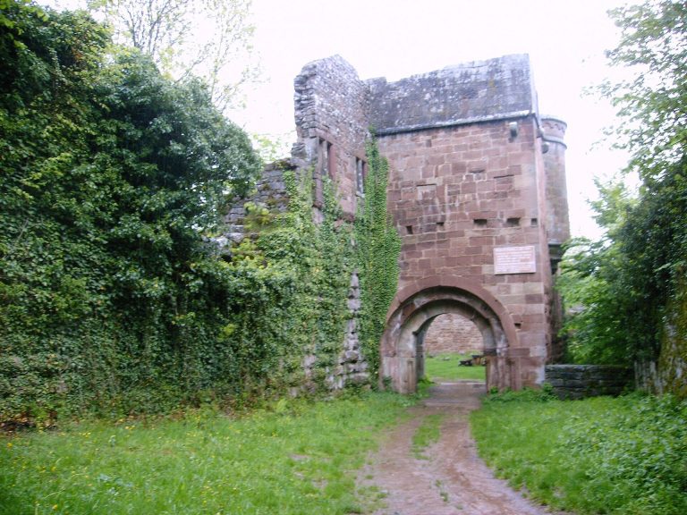
A new ditch, about six metres wide and 1.5 metres deep, replaced the silted earlier one. It lay 60–80 centimetres from the wall. The three main gates were rebuilt with paired towers and probably covered gatehouses. The right-hand side gate had a 3.4-metre-wide passage; the front and left-hand gates each had a passage three metres wide. A small rear doorway, about 1.25 metres wide, may have been closed by a crossbar. The ditch continued across its front, where a posthole may mark a wooden footbridge. The fort’s rounded outer corners had shallow projecting faces, also found at Oberscheidental.
Interior buildings
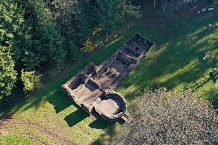
The internal plan placed the headquarters at the center, with the commander’s residence and barracks behind it. Stables and storage buildings occupied the front part of the fort. The structures were made of timber, and their plans are chiefly visible through postholes, post trenches, and changes in soil color. The building sequences inside the fort and at its perimeter were established separately, then correlated using the finds and their distribution.
Headquarters
In the first building phase, the central headquarters, including its porch, covered just under 200 square metres and measured approximately 10.5–10.8 by 18.0–18.2 metres. The exact dimensions are uncertain because construction irregularities and later disturbance affected the evidence. Its open porch extended across the main cross-camp road and faced the front road and gate. From there, the plan continued through a courtyard flanked by roofed walkways, then a large hall and a rear block of three rooms. The central rear room held the standards shrine; the other two probably served administrative purposes. This porched form belongs among the early examples of its type, alongside the headquarters at Künzing.
The later headquarters kept a similar arrangement but had a larger porch, which projected beyond both sides of the building and covered the full width of the cross-camp road. The porch measured about 6.3–6.4 by 14.3 metres. The courtyard was smaller than before, about 3.8 by 7.7 metres, while the adjoining hall measured 6.9 by 11.5 metres. A cistern about 1.5 metres across, with a channel running toward the rear, was installed in the hall and may have supplied water for ceremonies. The rear block again contained three rooms, with the standards shrine in the middle.
Commander’s residence
The commander’s residence faced the headquarters. In the first phase it measured about 10.5 by 15 metres. Its internal arrangement is disputed: it may have had a cross-shaped corridor or a skylit central space, while another interpretation proposes a long corridor flanked by rooms. A hearth shows that at least some rooms could be heated. In the later phase, the building measured about 11.7 by 10.8 metres and had a central corridor with three rooms on each side. At least four rooms contained hearths.
Barracks
The first phase had four barracks, each about 34.6–34.8 metres long and 4.55 metres wide, with nine rooms. Each room provided roughly 15.5 square metres of usable space. Occupancy estimates are hypothetical, but the barracks may have accommodated about 128 soldiers, with officers and non-commissioned officers bringing the total garrison to around 130–140.
In the later phase, the four barracks again flanked the headquarters and residence, but now included roofed walkways and head-buildings. The best-preserved, Barrack 4, measured 34.8 metres long and 7.30–7.45 metres wide including its walkway. It had seven soldiers’ rooms, each slightly more than 19 square metres, and a nearly square head-building of about 53 square metres containing a corridor and two heated rooms. Hearths beside shared partitions served for cooking and warmth. Barracks 1 and 2, and Barracks 3 and 4, formed pairs separated by gravel paths. Barrack 3 had nine smaller rooms and no head-building; Barrack 2 had a larger head-building divided into three rooms.
Stores and stables
In the first phase, a building in the southeastern front area probably served as a store or supply building, perhaps with space for weapons. Two long buildings in the northwest were likely stables, and an oven group may have stood nearby. Erosion makes these early identifications uncertain.
In the later phase, a large, irregular building occupied the eastern half of the front area. It measured about 20.8 by 13.1 metres, covered roughly 270 square metres, and had two entrances. Dietwulf Baatz interpreted it as a combined storehouse and armory, located near the side gate thought to be the principal entrance. Two elongated, undivided buildings in the western front area probably served as stables. Water containers and channels outside them support that interpretation. A smaller shed measured about 8.0 by 2.8 metres, but its use is unknown.
Roads, water and drainage
Camp roads were made of gravel layers. Water supply arrangements remain uncertain, but channels and containers point to a flow of water, possibly from springs in wet ground about 250–300 metres northeast of the fort. Rainwater collected from roofs may have supplemented it. Small channels carried wastewater into a main drain, which left the fort beside the rear entrance and entered the defensive ditch. Nearby latrines may have used this flow for flushing.
Later activity and excavated material
Settlement and ironworking
After the military occupation, settlement pits indicate continued activity at the site. One contained a furnace used to smelt iron, probably one of several. Older buildings, especially the headquarters and commander’s residence, may also have remained in use.
Pottery
Excavations recovered 932 pottery sherds. Fine red-gloss tableware, known as Terra Sigillata, accounted for 224 pieces, or 24 percent. Coarse sand-tempered pottery made up 463 sherds, or half the total, and included 399 pieces from pots and bowls. Heavy pottery accounted for 131 sherds, including 120 grinding or mixing vessels and 11 transport jars. The remaining finds included smooth-walled ware, mostly jugs and transport jars, as well as small quantities of coated ware and dark-colored Terra Nigra.
Metal, glass and tiles
Metal objects were sparse and heavily corroded, and the context of some is uncertain. Finds included nails, a bronze brooch, a lead disk, an iron drill, an iron awl, an iron knife, and a fitting from a gate pivot. Glass finds included part of an amethyst-colored ribbed bowl, fragments of other vessels, and two pieces of window glass.
More than 100 tile pieces were recovered, including nine complete tiles. They comprised mainly wall bricks, along with flat and curved roof tiles and comb-textured wall panels. The roof tiles may have come from a presumed bathhouse and been reused; the wall panels may also have been reused. Sandstone particles in the clay point to a possible, unidentified source in the Odenwald.
Stone and architectural fragments
Seventy sandstone balls, weighing from under 200 grams to 15–20 kilograms, were found. Friedrich Kofler interpreted them as ammunition for artillery, while Dietwulf Baatz questioned whether the small towers could have housed such weapons and noted that the flattened shape of most balls would have made their flight unpredictable. Other possible uses include hand-sling stones, weights or counterweights, and grinding stones.
Architectural fragments included cornices, wedge-shaped stones, and semicircular pieces characteristic of buildings along the Odenwald frontier. A red-sandstone relief fragment preserves part of a phallus, 17 centimetres long and raised five centimetres, with the testicles broken away. Fragments of handmills were also recovered.