Castra of Oberscheidental: A Roman Auxiliary Fort in Germany
Site at a Glance
- Popularity
- Very Low
- Country
- Germany
- Primary era
- Classical
- Eras represented
- Classical
- Civilizations
- Roman
- Site type
- Military
- Remains
- Fort
On this page15 sections
History
Foundation and frontier service
The Castra of Oberscheidental is a Roman auxiliary fort at Scheidental in Germany. Built under Emperor Trajan, it formed part of the older Odenwald line of the Neckar-Odenwald Limes, Rome’s frontier system. The first fort was made of timber and earth and housed an auxiliary cohort, a unit of the Roman army distinct from the legions. Occupation began in the Trajanic period and ended no later than AD 159.
The Odenwald Limes is conventionally dated to around AD 100, with an uncertainty of about five years. A later chronology favors AD 107 or 110 for both the frontier and the fort at Hesselbach, based on statistical reassessment of coin finds rather than new excavations. A proposed building sequence at Oberscheidental places a dry-stone wall in the Hadrianic period and a mortar-built wall between AD 140 and 150. A possible earlier origin under Domitian was not supported by archaeological evidence, and excavations established only one building phase.
Two successive cohorts, each about 480 men, are associated with the fort. The Cohors III Delmatarum served in the Roman province of Germania Superior around AD 88 or 89, then reached Oberscheidental after postings at Rottweil and Wiesbaden. Around AD 120 it transferred to Rückingen and was replaced by the Cohors I Sequanorum et Rauracorum equitata, a unit that included mounted troops. As the frontier shifted east, the latter cohort moved to the fort at Miltenberg-Altstadt around AD 159.
The fort’s position may have helped monitor the broad, easily traversed Elz valley, which offered a route toward unoccupied Germania. The less important Teufelsklinge valley may instead have been watched from the smaller fort at Schloßau.
Rediscovery and investigation
Roman finds from the area were known in the first half of the nineteenth century. In 1863, the Buchen Antiquarian Society proposed that the remains were military, but no excavation followed. Prevailing reconstructions, associated with Christian Ernst Hanßelmann and Johann Friedrich Knapp, placed the frontier on a route from Schloßau through Mudau to Osterburken. After efforts by scholar Karl Christ and the Mannheim Antiquarian Society, the Hessian-Baden Limes Commission surveyed south of Schloßau and located the fort on 1 July 1880. Excavations began in 1883. Work continued inside the fort in 1886, when the southern gate was restored, and the Reich Limes Commission carried out further excavations in 1895. The fort and related archaeological monuments are protected under Baden-Württemberg’s heritage law.
Remains
The fort occupies a plateau about 511 metres above sea level, on the watershed between the Main and Neckar river systems. The nearly rectangular enclosure covered about 2.1 hectares, with the Limes running roughly 25 metres to its east. Built of regional Bunter sandstone, a Triassic stone, it was positioned east of Scheidental’s centre, between the village and cemetery.
Fort enclosure
Plan and setting
The fort measured approximately 153 by 137 metres. Its east-facing front was 134.5 metres long, the rear was 137 metres, and the north and south sides measured 152 and 153 metres respectively. The corners were rounded to a radius of about 16 metres. The front bordered the cemetery, while the left flank lay beneath the road to Unterscheidental. The main gate, the Porta Praetoria, faced east toward the nearby frontier.
Walls and defenses
The defensive wall rested on a 1.6-metre-wide foundation of sandstone rubble set in mortar above a dry stone bedding course. The wall narrowed from about 1.3 metres thick at its base to 1.2 metres at the top; at the rounded corners it projected outward and reached up to 1.4 metres thick. Its outer faces consisted of carefully worked, horizontally laid blocks, while sandstone rubble bound with lime mortar formed the core. Towers defended all four corners and each of the four gates. A pointed ditch, six metres wide and 1.5 metres deep, encircled the fort. Inside the wall, an earth rampart 5.5 to 7.5 metres wide supported the defensive walkway, with a 3.8-metre-wide road running along its foot.
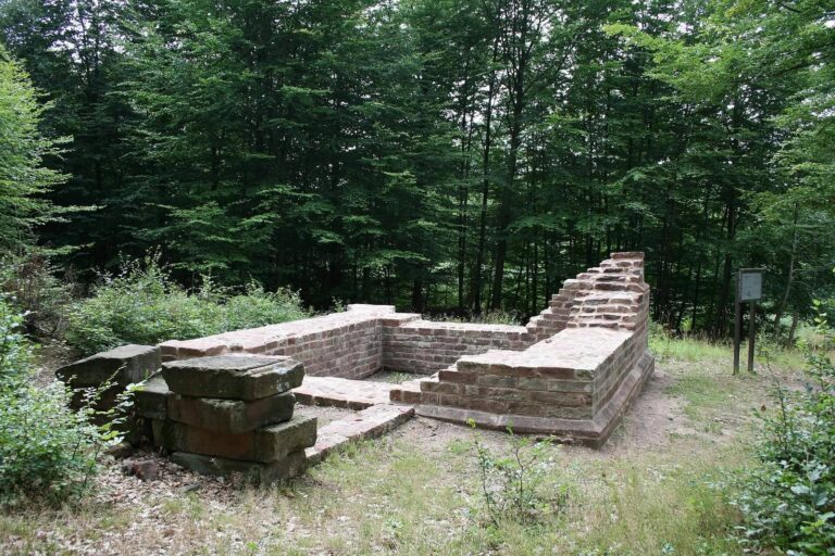
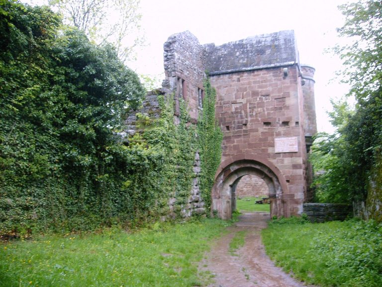
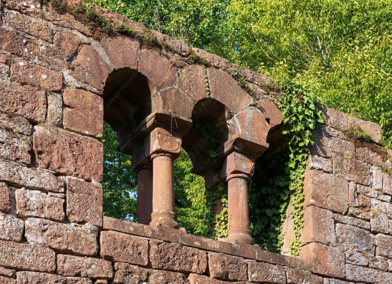
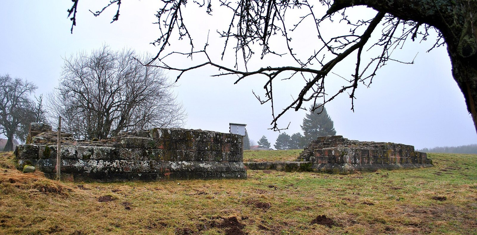
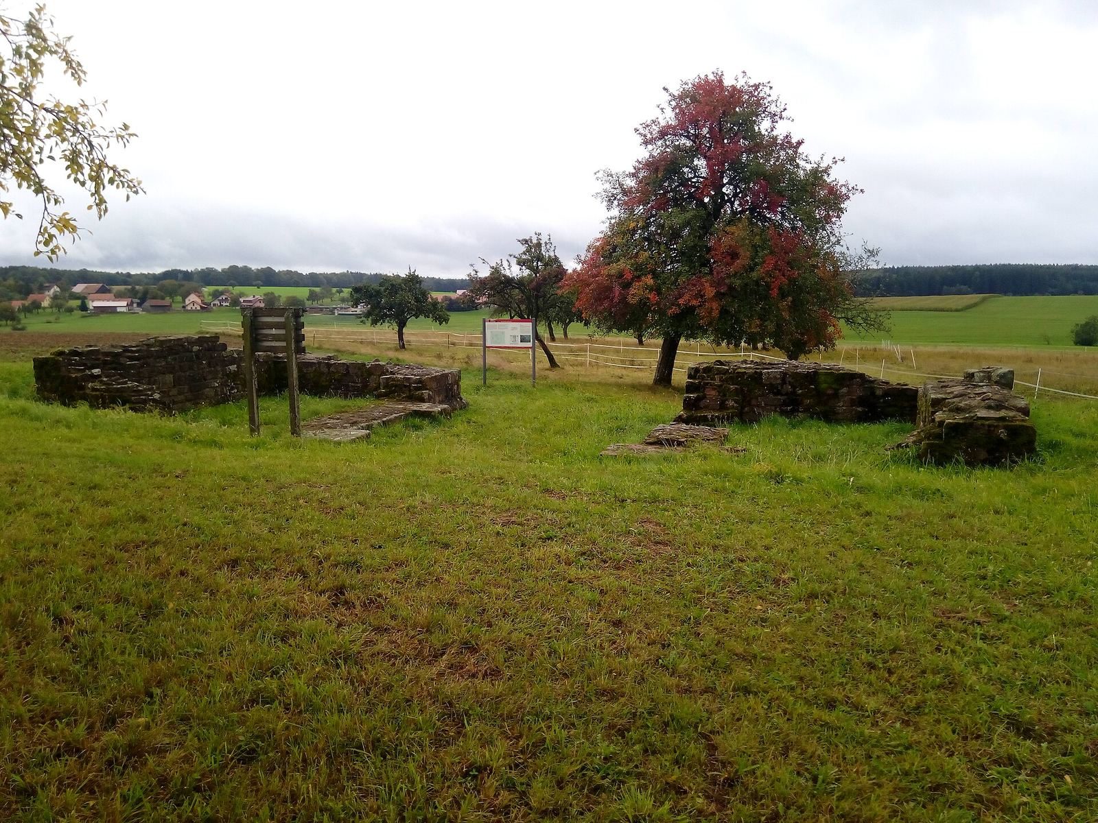
The southern gate, the Porta principalis dextra, is the best-preserved entrance. It was excavated and conserved and remains exposed.
Buildings inside the fort
Headquarters
The headquarters building measured 52.8 by 41.7 metres and included a shrine at the rear. The shrine extended 3.1 metres beyond the rear wall and contained two rectangular rooms. The building’s courtyard, about 21 metres wide, was fully paved.
Bath building
A small bath inside the fort, designated Building B, consisted of two rooms and contained a water basin.
Building C
In the southern part of the fort’s forward section, Building C measured 10.8 by between 20.41 and 20.75 metres. A concentration of cultural refuse there suggests it may have been a residence, interpreted as the commander’s house, although a granary remains another possibility.
Structures beyond the fort
Civilian settlement
Traces of a civilian settlement lay west of the fort. Later building, particularly road construction, probably disturbed the area.
Separate bath
A separate bath stood about 41.5 metres southwest of the fort’s southwestern corner, beyond Eberbacher Straße. Its plan measured 20.4 metres along the north side and 34.35 metres along the east side. Construction of the road to Eberbach in the first half of the nineteenth century destroyed its southeastern corner.
The frontier south of the fort
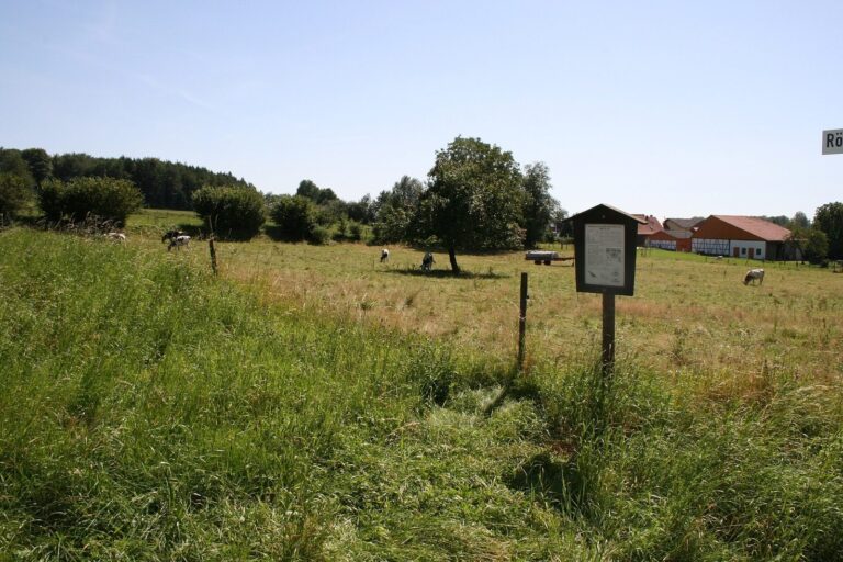
From Oberscheidental, the Limes runs almost straight south toward the small fort at Robern, crossing woodland and agricultural land and passing two suspected and three confirmed watchtower sites. The route follows a gently undulating plateau, with elevations of 509 metres at Wp 10/43, 529 metres at Wp 10/44 and 517 metres at Wp 10/46, before descending 75 metres toward Robern. About 15 metres north of a stone tower, a rounded rise nine metres across may mark a timber-tower site, though that identification is uncertain.