Castle of Bredevoort: A Fortress in the Netherlands
Site at a Glance
- Rating
- 5
- Popularity
- Very Low
- Country
- Netherlands
- Primary era
- Medieval
- Eras represented
- Medieval
- Civilizations
- Holy Roman Empire
- Site type
- Military
- Remains
- Castle
On this page10 sections
History
Castle of Bredevoort is a ruined fortress in Bredevoort, Netherlands. It was a lowland water castle associated with the medieval lordship of Bredevoort, the County of Zutphen, and the Duchy of Guelders. Its construction date is uncertain, although 1167 is given as the building date. The earliest known written mention dates from 1188, when it appeared as castrum Breidervort on a property list belonging to the Diocese of Cologne. The castle became one of Guelders’ most important strongholds and a focal point of conflict with the Münsterland, particularly during the fourteenth century.
Early lords and fortification
In 1238, inheritance brought the castle into the possession of the Counts of Lohn and the Lords of Steinfurt. Hermann I of Lohn and Ludolf of Steinfurt greatly strengthened the fortress. During the rule of Hermann II of Lohn, the bed of the Boven-Slinge was diverted toward Bredevoort so that its water could fill the castle’s moats.
The Counts of Lohn granted their share of the castle, along with several parishes in the Achterhoek, as a fief to Otto II, Count of Guelders, in 1246 and again in 1255. These arrangements placed Bredevoort within the competing political interests of Lohn, Steinfurt, Guelders, and Münster.
Siege and reconstruction
In 1278, Hermann II of Lohn imprisoned Engelbert I, Count of the Mark, at Bredevoort. Engelbert died after sixteen days in captivity. His son, Eberhard II of the Mark, then besieged and destroyed the fortress, forced the surrender of his father’s body, and had it buried at Cappenberg Abbey. The castle remained in ruins for twenty-three years.
Baldwin of Steinfurt sold his share of Bredevoort to the Bishopric of Münster in 1284. The Count of Guelders and the Bishop of Münster consequently became joint lords, an arrangement that contributed to the Bredevoort Feud after Hermann II of Lohn died in 1316. Following prolonged conflict between Münster and Guelders, the castle returned to Count Herman II of Lohn in 1301, and the bishops of Münster and Cologne jointly paid for its reconstruction.
The struggle ended with the Peace of Wesel, signed on 28 June 1326 and endorsed by the towns of Zutphen, Groenlo, Emmerich, and Arnhem. Through this settlement, Reinald II, Count of Guelders and Zutphen, acquired control of the courts of Winterswijk, Aalten, and Dinxperlo, together with the County of Bredevoort. The territory thereby became definitively part of Guelders, and the Counts of Guelders became the castle’s sole lords.
Destruction and later investigation
In 1646, lightning struck the castle’s powder tower and caused an explosion that killed forty-nine people. The dead included the drost Wilhelm van Haersolte, a senior territorial official, and his family. His son Anthonie survived because he was away from home. The castle became a ruin and was never rebuilt.
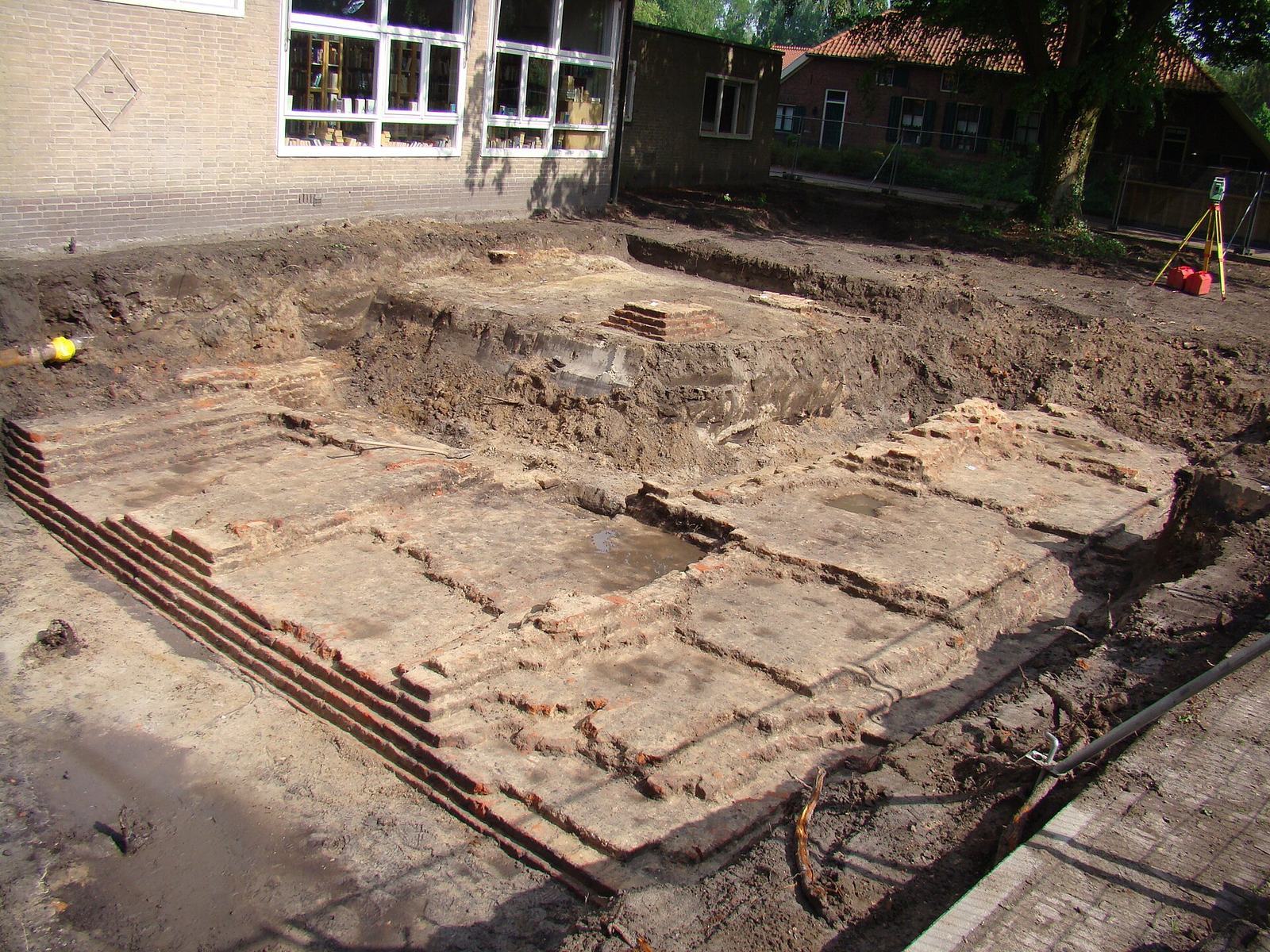
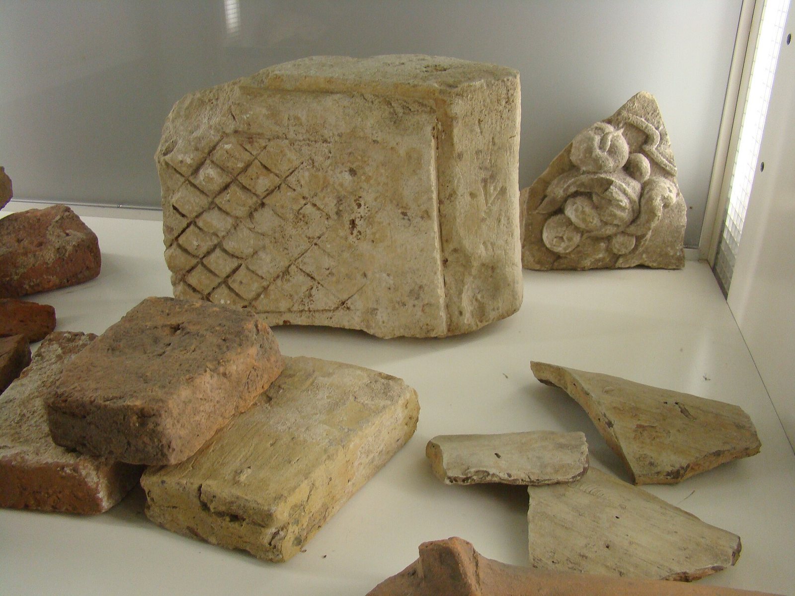
The ruins continued to dominate Bredevoort’s townscape for at least 150 years. The last known record of a visible ruin dates from 1791, when William V, the last stadtholder of the Dutch Republic, saw the remains during a visit to Bredevoort. Archaeological investigation followed in April and May 2009, when parts of the foundations were uncovered in the town centre.
Remains
Layout and construction
Castle of Bredevoort was a lowland water castle, meaning that its defenses relied substantially on surrounding waterworks. It was built of brick and Bentheim sandstone. Excluding the outer bailey, rounded towers, and curtain wall, the main castle measured approximately 42 by 36 metres. Old maps indicate a typical concentric fortress, with the principal enclosure surrounded by two moats and a thick curtain wall. A double moat separated the castle from the town, while a bridge connected the two.
The remains lie beneath and around ’t Zand square and Hozenstraat in the town centre. Foundations, vaults, passages, and rubble survive below the modern town fabric. Archaeological work in 2009 exposed wall remains between 2.5 and 4 metres thick, revealing the substantial scale of the medieval construction.
Outer defenses
Outer bailey
The outer bailey formed a rectangular enclosure with four heavy corner towers. Three of these towers were later lowered into rondels, rounded artillery platforms adapted for firearms. Their altered form reflects the repeated changes made to the castle over the centuries.
Gates and barbican
Access from the town required passage through two gates. The second gate was protected by a barbican, a fortified entrance structure placed in front of a gate. Foundations of the barbican were found beneath ’t Zand square, where its outline is marked by brass-colored strips set into the ground. A further gatehouse in the curtain wall led into the spacious inner courtyard.
Inner castle and changing appearance
Several buildings stood around the inner courtyard. The castle’s appearance changed repeatedly because of fighting, wars, urban fires, and other causes. An 1882 drawing by Jacobus Craandijk shows a square, moated castle resembling the Muiderslot, a medieval castle near Muiden. The drawing may have relied on an earlier image or description, but it remains uncertain whether it represented Bredevoort accurately or instead depicted the ruined building that existed before the destruction of 1278.