Castle Neudahn: A Medieval Rock Castle and Road Fortress in Germany


Site at a Glance
- Rating
- 4.7
- Popularity
- Low
- Country
- Germany
- Primary era
- Medieval
- External website
- Open
- Eras represented
- Medieval, Early Modern
- Civilizations
- Holy Roman Empire
- Site type
- Military
- Remains
- Castle
On this page10 sections
History
Castle Neudahn is a rock castle in Germany near Dahn, built shortly before 1240 in the late-Hohenstaufen period on the orders of the Bishop of Speyer. Its position above the Wieslauter valley enabled it to protect and block the historic road through the valley, whose course is followed today by the B 427 federal highway and the Wieslauter Railway.
Foundation and medieval ownership
Henry of Dahn, also known as Henry Mursel of Kropsberg, was the ministerialis responsible for the construction. A ministerialis was a medieval official who could combine administrative, military, and landed duties for a ruler or an ecclesiastical lord. Henry probably received Neudahn as a hereditary fief from the beginning. The castle first appears in a document dated 3 May 1285 under the name Burg Than, and the properties listed in that record indicate that Neudahn was intended.
Within a century, the Mursel family died out and ownership passed to the related Altdahn line. The castle was probably burned during the Four Lords’ War of 1408, a late-medieval regional conflict, and was rebuilt afterward.
Sixteenth-century damage and rebuilding
Neudahn suffered major damage during the German Peasants’ War in 1525, an uprising of peasants and lower-status groups across the German-speaking lands in 1524 and 1525. It was apparently thoroughly renovated before King Henry II of France spent a night there in 1552. Further renovation and extension phases followed, including work after the castle’s final destruction. Much of the surviving appearance reflects these changes made after 1525 and after the later destruction.
Episcopal headquarters and destruction
After Ludwig II, the last lord of Dahn, died at his castle in Burrweiler in 1603, Neudahn reverted to the Bishopric of Speyer, an ecclesiastical territory governed by the bishop of Speyer. The castle then became the official residence and headquarters of the episcopal Amtmann, an appointed official who administered a district for a territorial lord or institution.
French troops finally destroyed Neudahn in 1689, at the beginning of the War of the Palatine Succession. This major European conflict over the succession and territories of the Electoral Palatinate was fought chiefly from 1688 to 1697. Safety and restoration work took place at the site in the 1970s. Together with Berwartstein Castle, about 10 kilometres away, Neudahn is regarded as one of the best-preserved castles in the southern Palatine Forest.
Remains
Rock spur and early castle
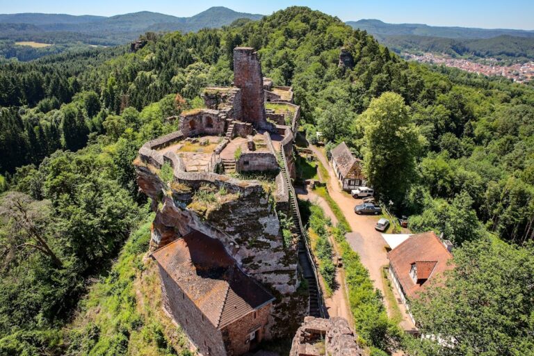
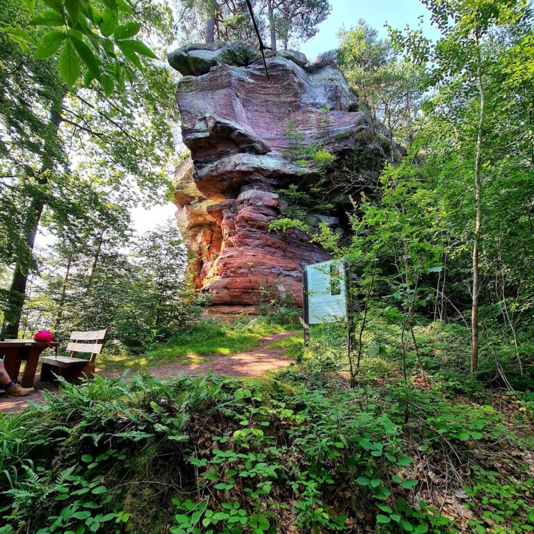
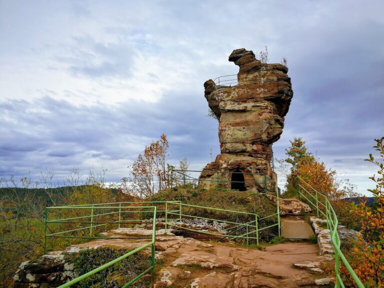
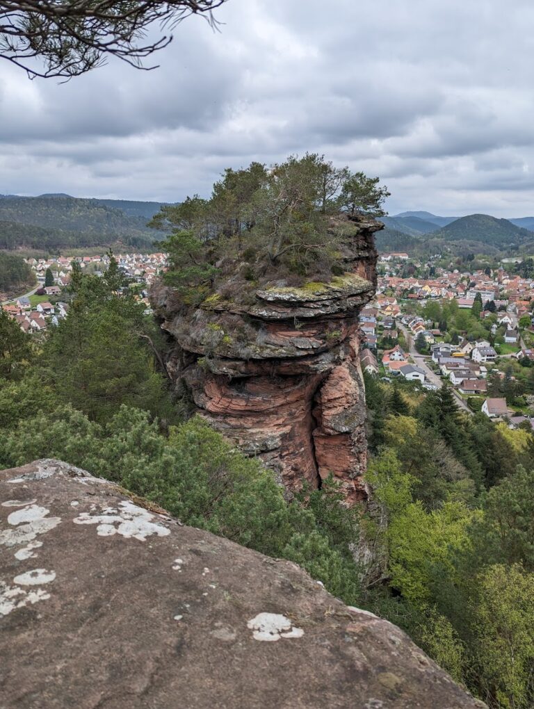
Neudahn occupies the northern end of an elongated ridge on a sandstone rock spur associated with the Dahner Felsenland. The main castle rock reaches approximately 300 metres above sea level, while the lower ward lies somewhat lower. The spur projects between the Wieslauter valley to the east and the Moosbach valley to the west, about 90 metres above the surrounding valleys. Below the castle, the Moosbach joins the Wieslauter. Three ponds were formerly created by damming the stream, including the Neudahner Weiher and two smaller reservoirs that supplied water to a mill.
The oldest castle occupied a vertically cut central rock nearly 20 metres high. This late-Hohenstaufen core retains a cistern at its western end and the southern walls of a small palas, the principal residential or representative building of a medieval castle. Window and door openings remain in these walls. A late-medieval domestic building stood at the northwestern end of the main rock, with a well to its west. A formerly plastered stair tower with a central newel on the northwestern edge of the rock led to the upper ward.
Entrances and artillery defenses
Entrance arrangements
The present entrance at ground level is probably not historical and may have been created for modern visitors. The date 1975 above it supports that interpretation. It lies outside the inner gate, while the historical entrance remains visible inside the gate, to the left and at a higher level.
Battery towers
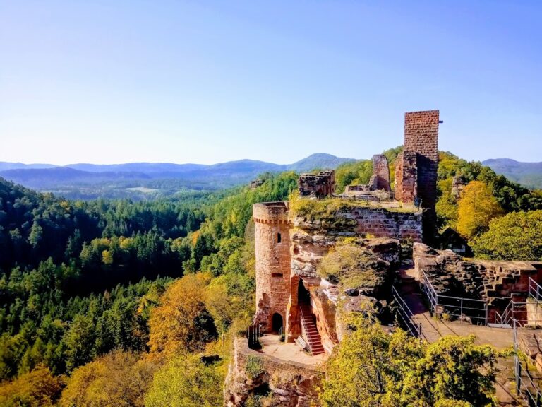
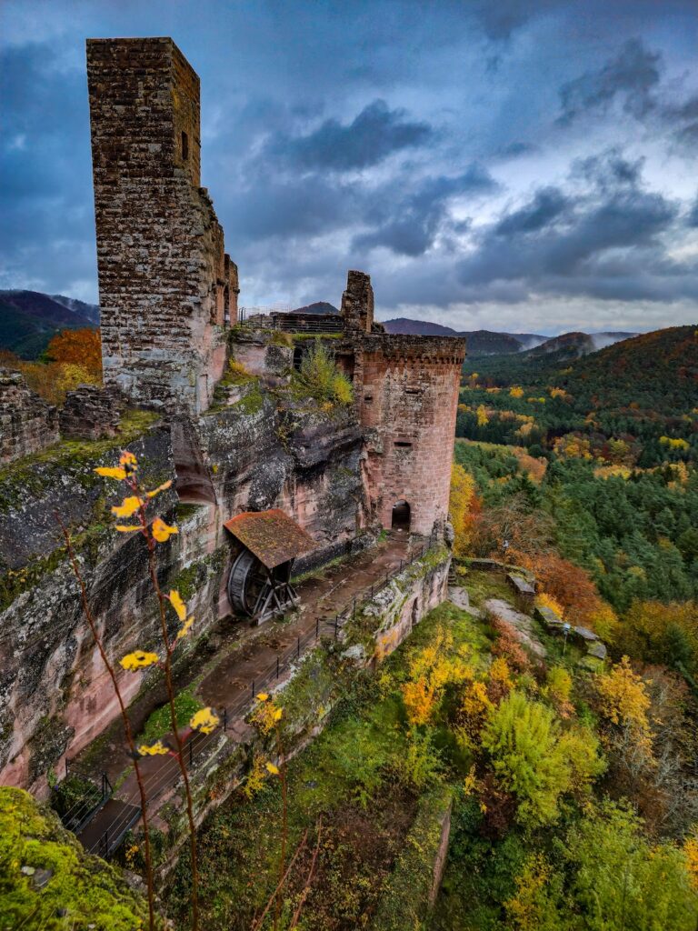
Two four-storey battery towers dominate the castle. Built during the first half of the sixteenth century, they stand on the southwestern side of the site and lean against the rock of the upper ward. Each rises approximately 24 metres, with the western tower measuring about 7 metres in diameter and the eastern about 10 metres. Their walls are approximately 3 metres thick. A further stair tower to the north provided access to them.
Two gun embrasures, openings through which firearms or cannon could be used, are set in the southern battery tower and carved elaborately as lion faces. Most of the other embrasures have spectacle-shaped openings. The towers preserve the physical effects of the major modifications made when firearms and cannon altered castle defenses.
Walls and bastion
In the southeastern part of the site, to the left of the former gate complex, are the remains of a tower approximately 7 metres in diameter. Sections of a massive defensive wall extend westward from it before turning north. Along the steep northern and northeastern sides of the slope, the wall formerly led to a flanking tower at the northern end of the castle.
A wedge-shaped bastion protected the continuation of the ridge toward the east-southeast. A bastion is a projecting fortification designed to improve defensive fire and reduce the danger of direct artillery impact. At Neudahn, this form protected the upper ward on the gentler slope and was intended to prevent projectiles from striking the castle frontally. Together with the battery towers, it represents the castle’s adaptation to gunpowder weapons.
Nearby sites